Arrival by public transport
Linienbus
4104
Bus stops Tux-Madseit Alpinhotel Berghaus or Hintertux-Feuerwehr
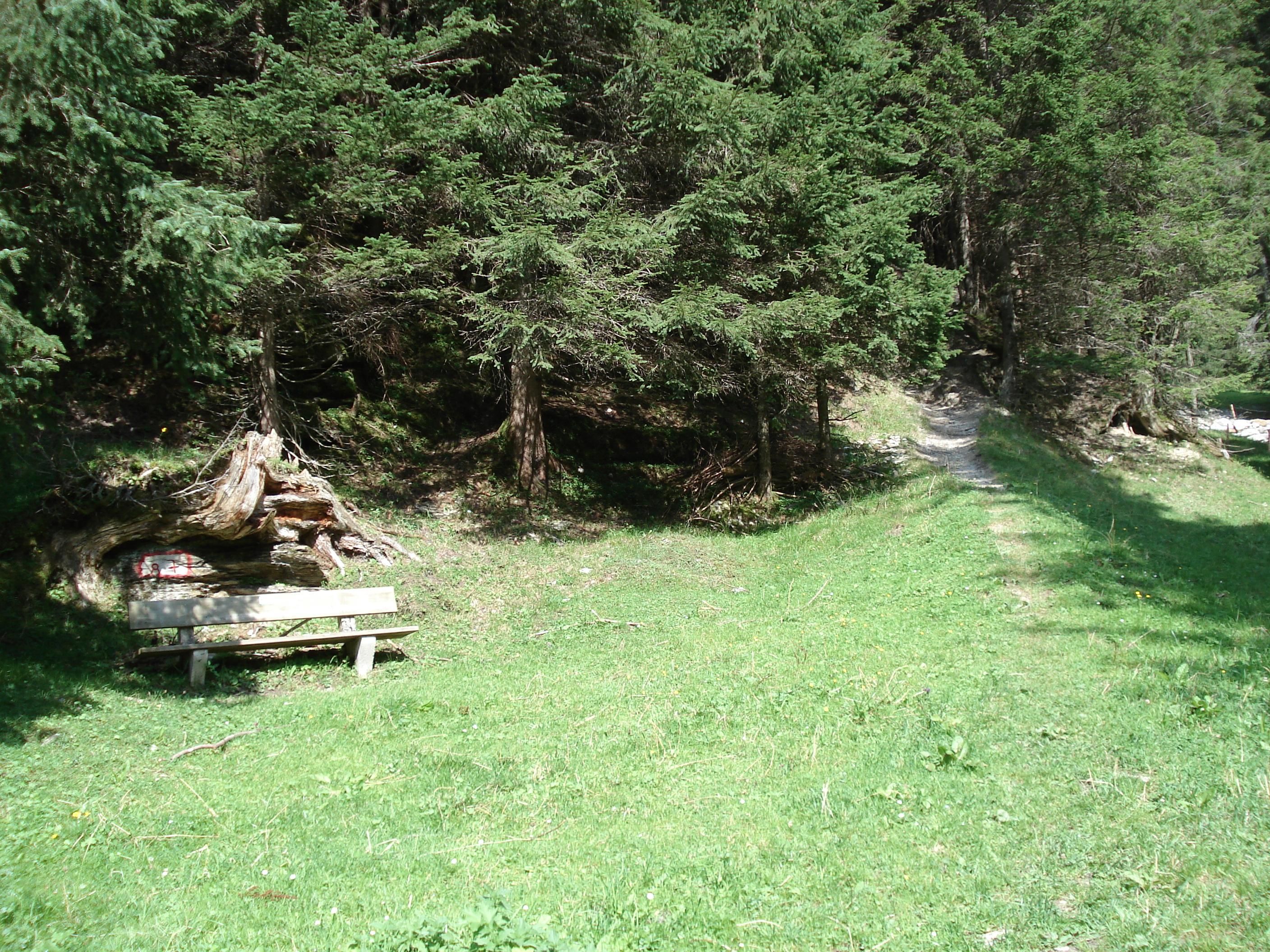
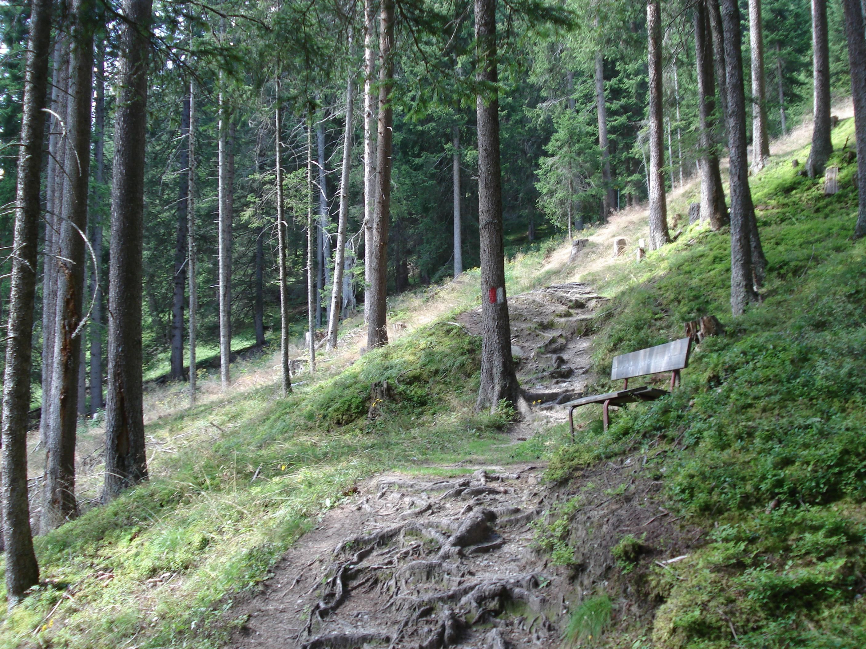
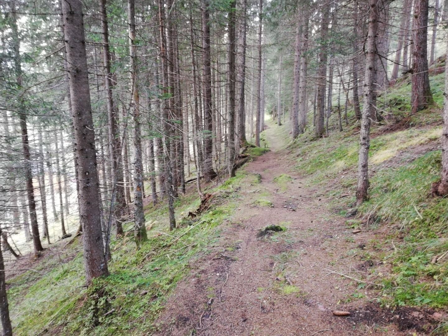
Pure enjoyment of nature - through quiet forests and gentle paths!
Sports shoes with good thread sole – BETTER: light hiking shoes
Clotihing suitable for the weather
Sunscreen
Drinks and food
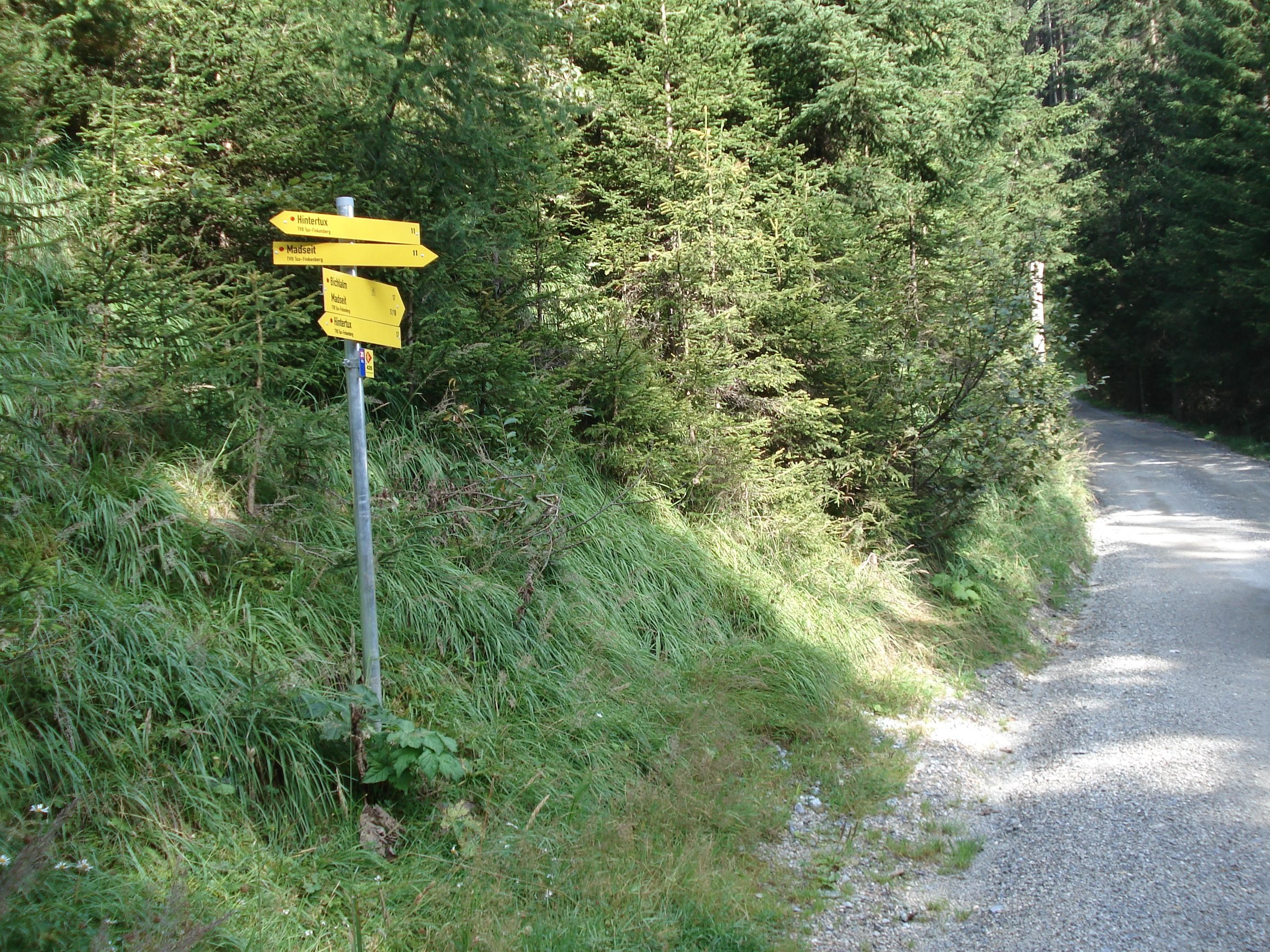
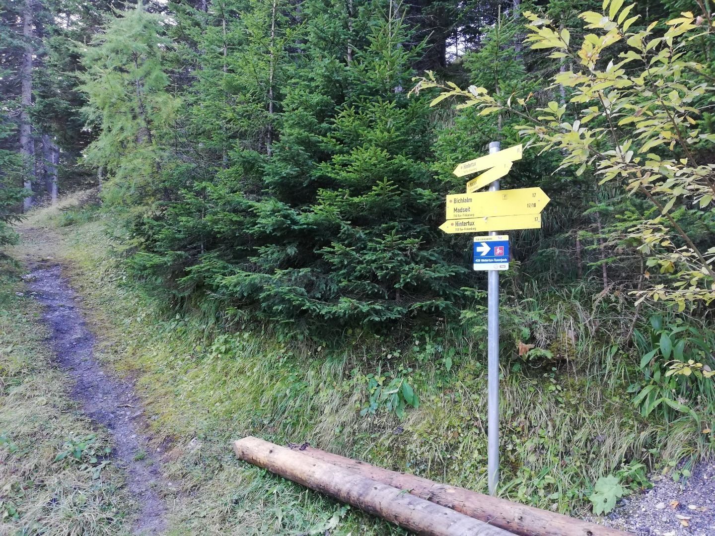
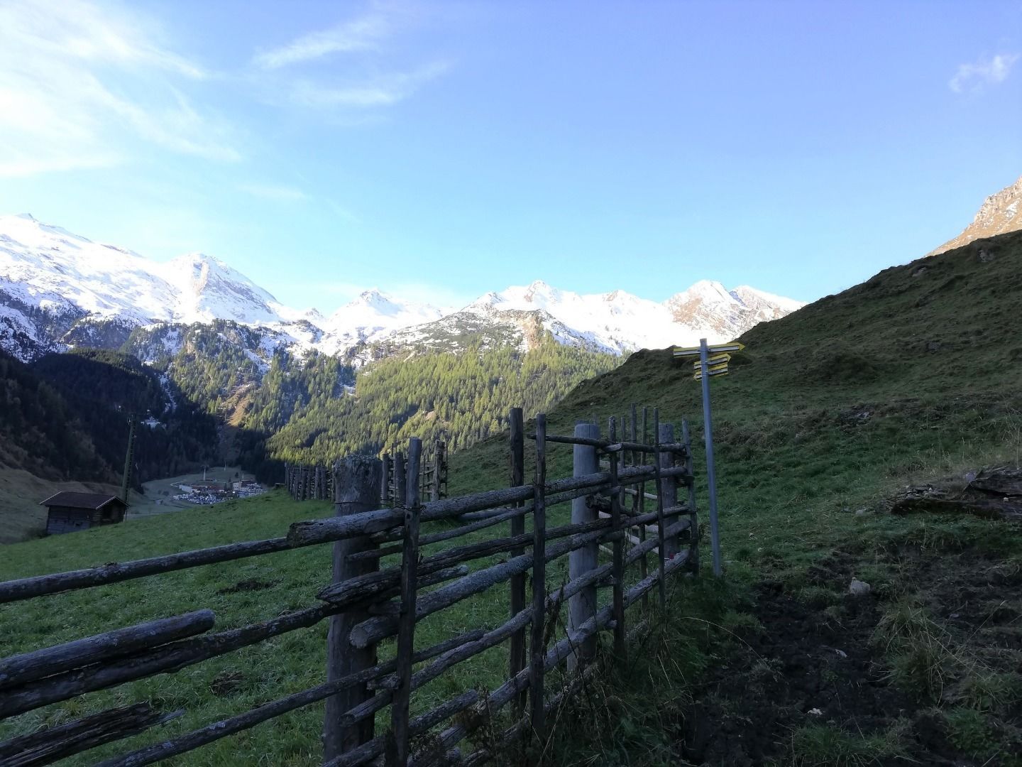
From the bus stop at the Alpinhotel Berghaus, hike along the sidewalk in the direction of Hintertux. After Haus Tanneck (house no. 722) turn right, past Haus Markus (house no. 723) into the forest, behind house Madseit (house no. 729) a path climbs steeply (path no. 11) to the supply road Bichlalm (path no.17), branch off to the left, comfortable path through the forest, descent to Hintertux.
Linienbus
4104
Bus stops Tux-Madseit Alpinhotel Berghaus or Hintertux-Feuerwehr


")
.jpg")

.jpg")


.jpg")
.jpg")

")


")
.jpg")
.jpg")

