

Opening hours:Today closed
Place:Tux
:Alpine pasture / hut / mountain restaurant, Bar / Pub
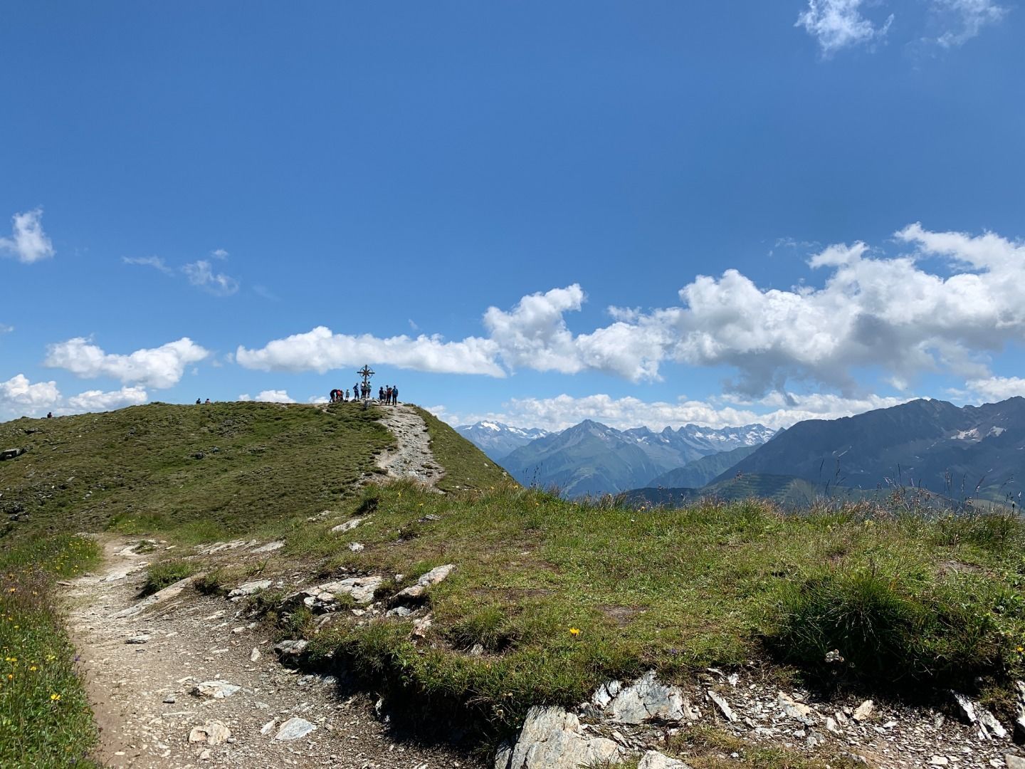
With views of the Hintertux Glacier, Olperer and Torsee, the Ramsjoch is one of the most beautiful vantage points in the Tux Valley. Its summit cross is dedicated to the regular guests of Tux.
The mountain tour to the Ramsjoch (2,508 m) reveals numerous natural beauties of the Zillertal Alps Nature Park. However, only experienced hikers should attempt the high-altitude circular hike over the Grüblspitz. It starts at the Eggalmbahn mountain station in Tux. The ascent by cable car shortens the summit tour considerably, but still leaves six hours of strenuous walking time.



Correct footwear (sole with a tread, firm hiking shoes)
Clothing (quickly drying, protection against wind, rain and cold)
Sunscreen – ATTENTION: strong sunlight in the mountains! Sunglasses, head protection, sunscreen with a high sun protection factor
First aid kit (gauze bandage, plaster)
Charged mobile phone
Drinks and food (drink plenty of fluid on hikes – but avoid alcohol!)
From Tux-Lanersbach you can take the Eggalm Bahnen up to 2,000 meters. From there, a well-marked path no 35 first leads in switchbacks to the Beil (2,300 m), and continues slightly uphill to the summit cross of the Grüblspitze (2,395 m). In order to reach the highest point of this hike, you have to overcome another 170 meters in altitude. On a narrow ridge it goes first a short piece downhill to the Zilljöchl and then somewhat steeper up in several hairpin bends to the Ramsjoch (2,508 m). Here you will find the "Stammgäste" summit cross. A mountain path no 45 leads on gravelly ground down to the green alpine depression with the lakes. At the Torsee (2,258 m) you meet the trail AV no 321 from the Wattener Lizum, which continues over the Nasse Tuxalm (1,843 m) to the Ramsangeralm (1,685 m) and over the Pfisterwaldweg to Tux-Lanersbach (no 33 & 21).
Bus
line 4104
Bus stop Tux-Lanersbach Tux-Center/Eggalm Bahnen
CAR
Zillertal: B 169 from Strass/Brettfalltunnel to Mayrhofen - junction Ginzling/Hintertux
Tuxertal: turn right at the junction and stay on the L 6 Tuxer Landesstraße to Tux-Lanersbach
Bus/train
from Jenbach with the Zillertalbahn railway to Mayrhofen station
from Mayrhofen railway station, take the 4104 bus to Tux-Lanersbach
Day parking lot Tux-Center


