Arrival by public transport
Information about the current bus times can be found here:
Startseite • Verkehrsverbund Tirol (vvt.at)
"Alpine challenge: Hike from Roppen to the Mutkopf"
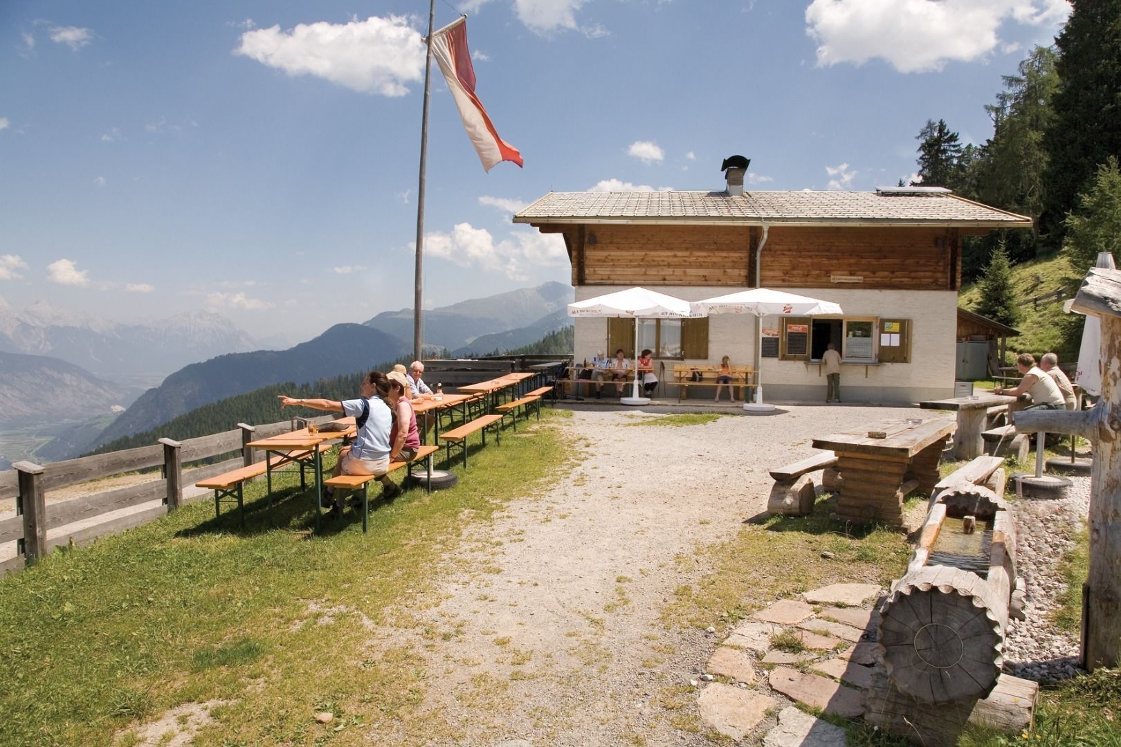
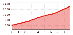
Discover the impressive hike from Roppen to the Mutkopf, a route that requires an excellent level of fitness. The trail starts in the Oberängern district of Roppen and takes you through varied landscapes. You will be challenged right from the start of the hike, as the trail leads you uphill through the forest. But your efforts are rewarded when you reach the Maisalpe and enjoy a magnificent view of the valley and the surrounding mountains. The trail continues uphill across lush meadows, past the unmanaged Muthütte hut, until you finally reach the Mutzeiger at an altitude of 2277 meters. Up here, you are rewarded for all your efforts with a breathtaking panorama.
Course: Maisalm (2.5 hours) - Mutzeiger
Tip/worth seeing: Forchheimer Höhenweg
From Roppen a forest path (approx. 2.5h) leads up to the Maisalm. From here you continue to the Mutzeiger.
Information about the current bus times can be found here:
Startseite • Verkehrsverbund Tirol (vvt.at)


