Miners Trail Hochoetz with Wetterkreuz peak

closed
Oetz / Stubaier Alpen
Difficulty ratings: difficult
Route length: 7.6 km
Duration: 6:00 h

PANORAMARESTAURANT HOCHOETZ -> Bielefelder Hütte -> Wetterkreuz -> Wörgetal -> Pochersee -> Knappenhaus -> Obere Issalm -> Iss Brücke

Tour information

  • Requirement: difficult
  • Length: 7.6 km
  • Duration: 6:00 h
  • Elevation uphill:571 hm
  • Elevation downhill:852 hm
Highest point2,583 m

Starting point

Panoramarestaurant Hochoetz

Finishing point

Issbrücke
  • Fitness level 6 / 6

Best time of year

  • January
  • February
  • March
  • April
  • May
  • June
  • July
  • August
  • September
  • October
  • November
  • December

Equipment

Good physical condition, mountain experience, and appropriate alpine equipment (see equipment recommendations) are required. Please check the current weather forecast at: www.oetztal.com/en/summer.html Appropriate equipment such as breathable suitable outdoor clothes for the weather, ankle-high walking boots, wind-, rain- & sun protection, hat, possibly gloves, is for all hikes and tours necessary. Please bring a first-aid box, a mobile phone, a walking map and if there is no hut on the way a snack and enough to drink.

Description

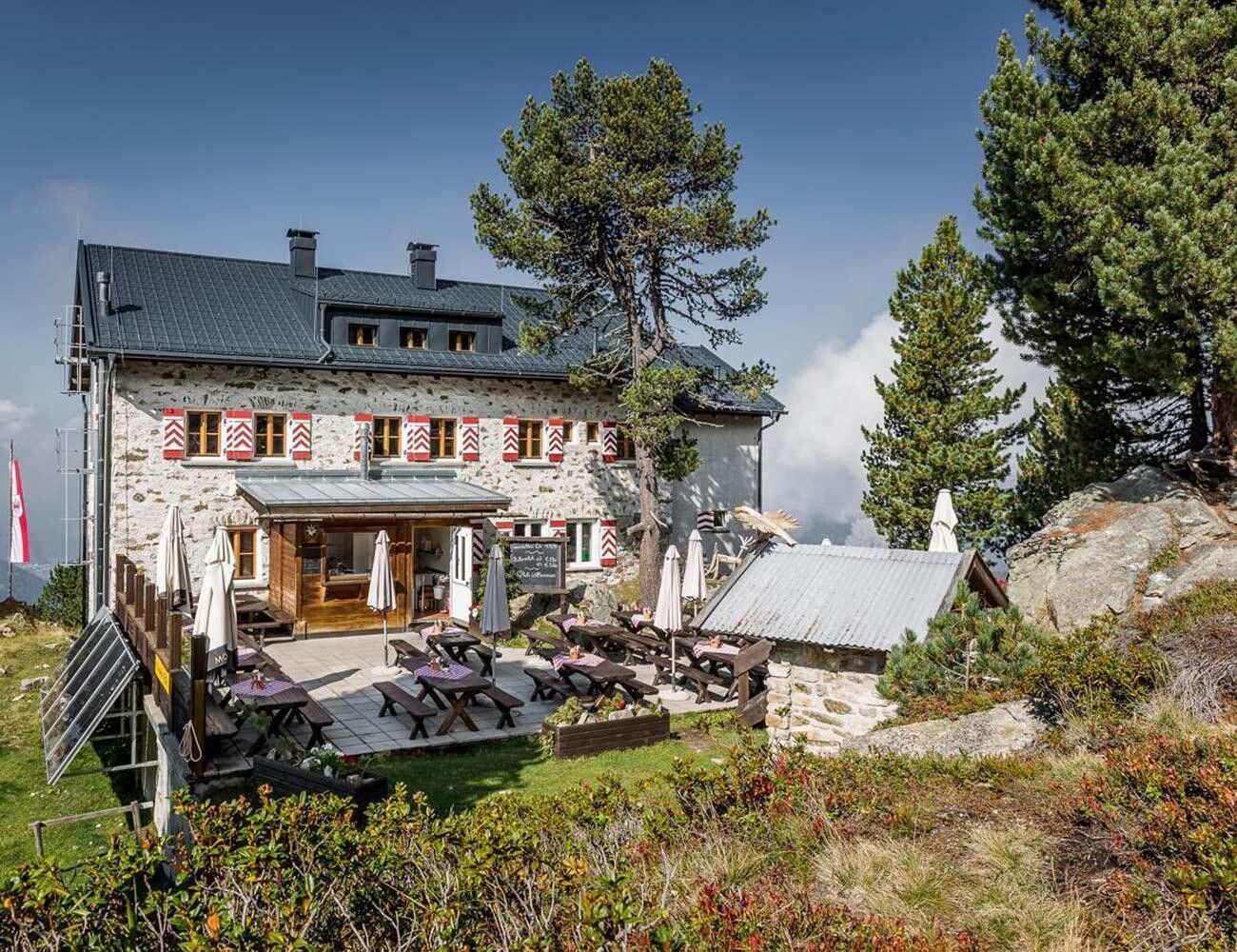
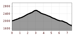
The starting point of the hike is the panoramic restaurant Hochoetz, situated at an altitude of 2,020 meters. From there, a wide forest road initially leads in the direction of the Bielefelder Hütte. Shortly afterward, a steep ascent begins, which transitions into a gently sloping high-altitude trail just below the Brunnenkopf summit. This scenic trail winds its way along the mountainside, offering beautiful views.

At a fork in the trail, the ascent to the Rosskopf branches off to the left, while the path to the right continues toward the Wetterkreuz, which is reached after a moderate climb. From the summit, hikers are rewarded with a stunning panorama of the Stubai Alps and the Mieming Range, perfect for a short break with a view.

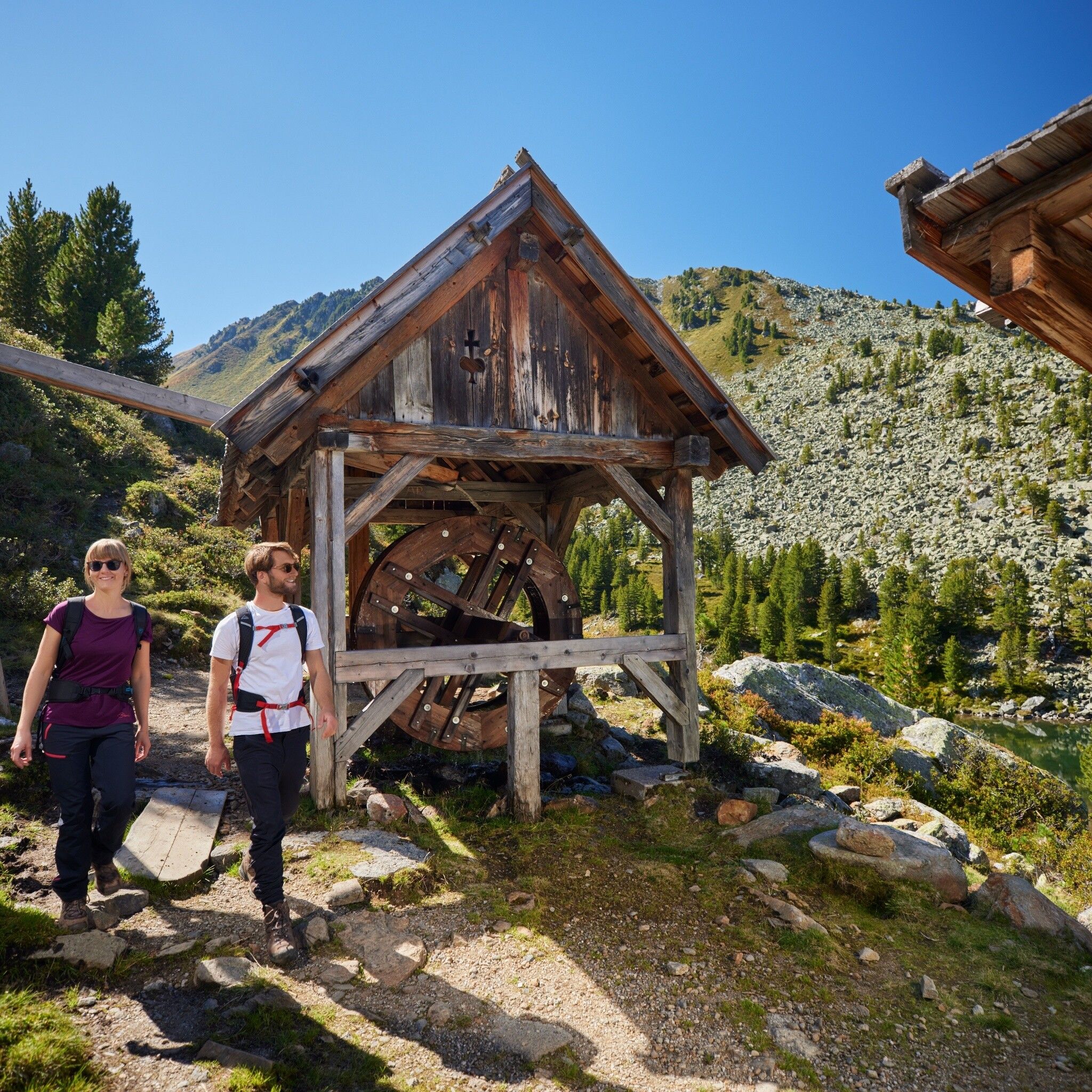
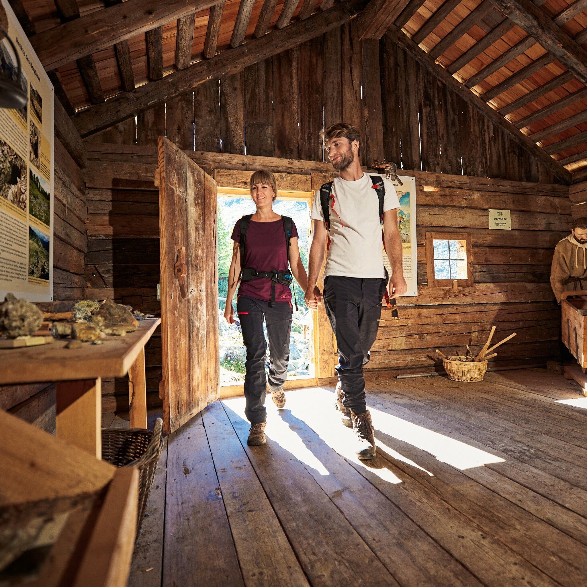
The descent follows the backside of the Wetterkreuz down into the wild and romantic Wörgetal valley. A narrow trail winds through this remote section of the valley until it reaches the Knappenhaus with Pochwerk. This faithfully reconstructed ore processing plant. Here, visitors are immersed in the region's over 350-year-old mining histor. This is a true highlight of the tour.

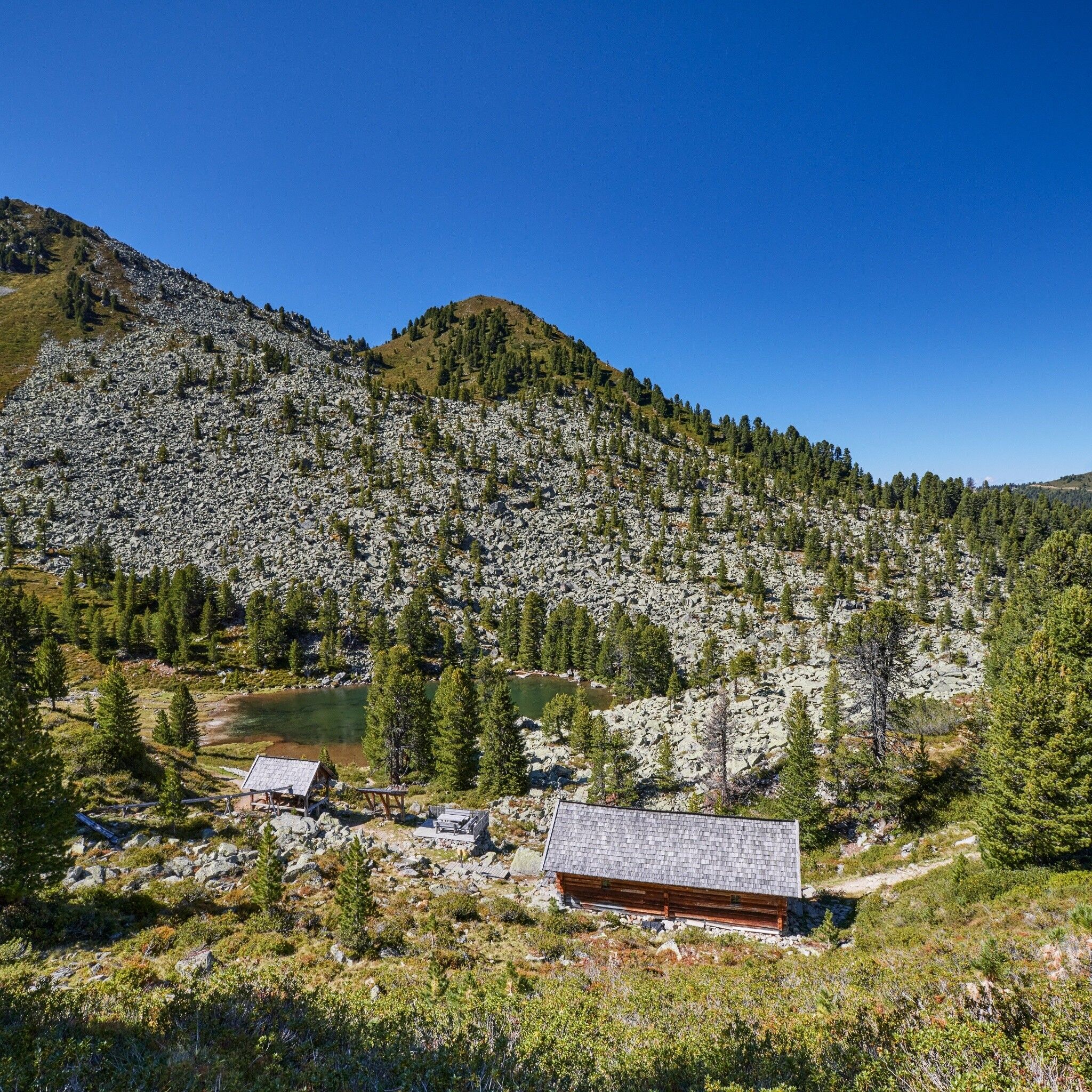
A bit further on, the trail passes by the idyllic Pucher See, then continues past the ruined Obere Issalm, and finally descends to the Issbrücke, where a bus conveniently takes you back to Oetz.

Tip: Discover the Knappenweg with the free Hearonymus audio guide!

More information: www.knappenweg.at


Getting here

  • Arrival by public transport

    Enjoy a both comfortable and relaxing train ride to the train station in Ötztal Bahnhof. You get off the train in ÖTZTAL Bahnhof where you change to a public bus or local taxi. The current bus schedule can be found at: http://fahrplan.vvt.at

  • Parking

    The following parking facilities are available:

    • Parking Acherkogelbahn - free for guests of the gondola lift, camping prohibited
    • Parking next to the river (at the end of Oetz on the right hand side) – free of charge, but limited parking; camping prohibited
    • Parking Oetz town center- parking fee
    • Parking at night during several days' tours: Parking Oetz town center, the ticket is available at the tourist office Oetz.
    •  Parking at the Ochsengartencable car station. free parking, camping prohibited 

More tours in the surrounding area

Newsletter

The mountain is calling? So does our newsletter!

In our monthly newsletter we reveal the best holiday tips for Tyrol.