Mountain hikes Möseralm to the Frommeshütte

open
Fiss / Samnaun Group
Difficulty ratings: easy
Route length: 4.4 km
Duration: 2:00 h

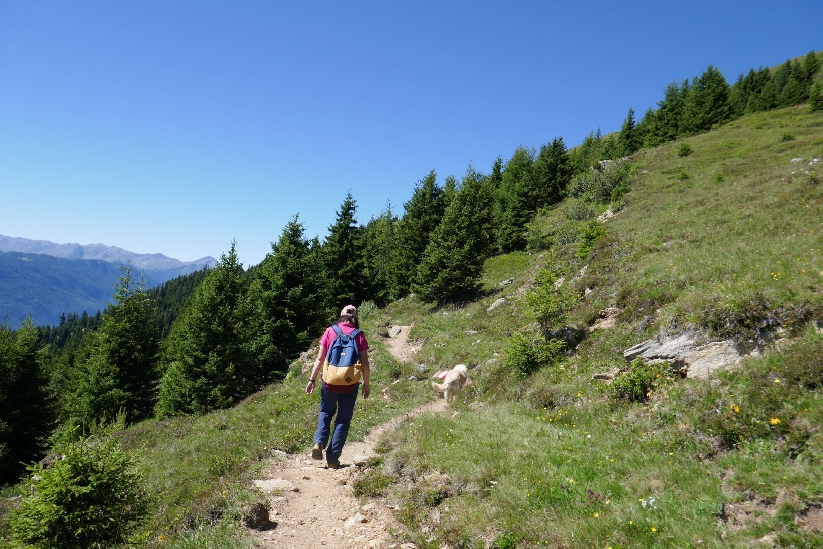
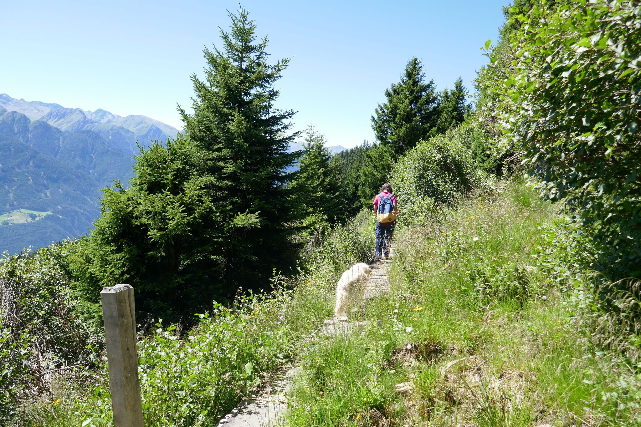
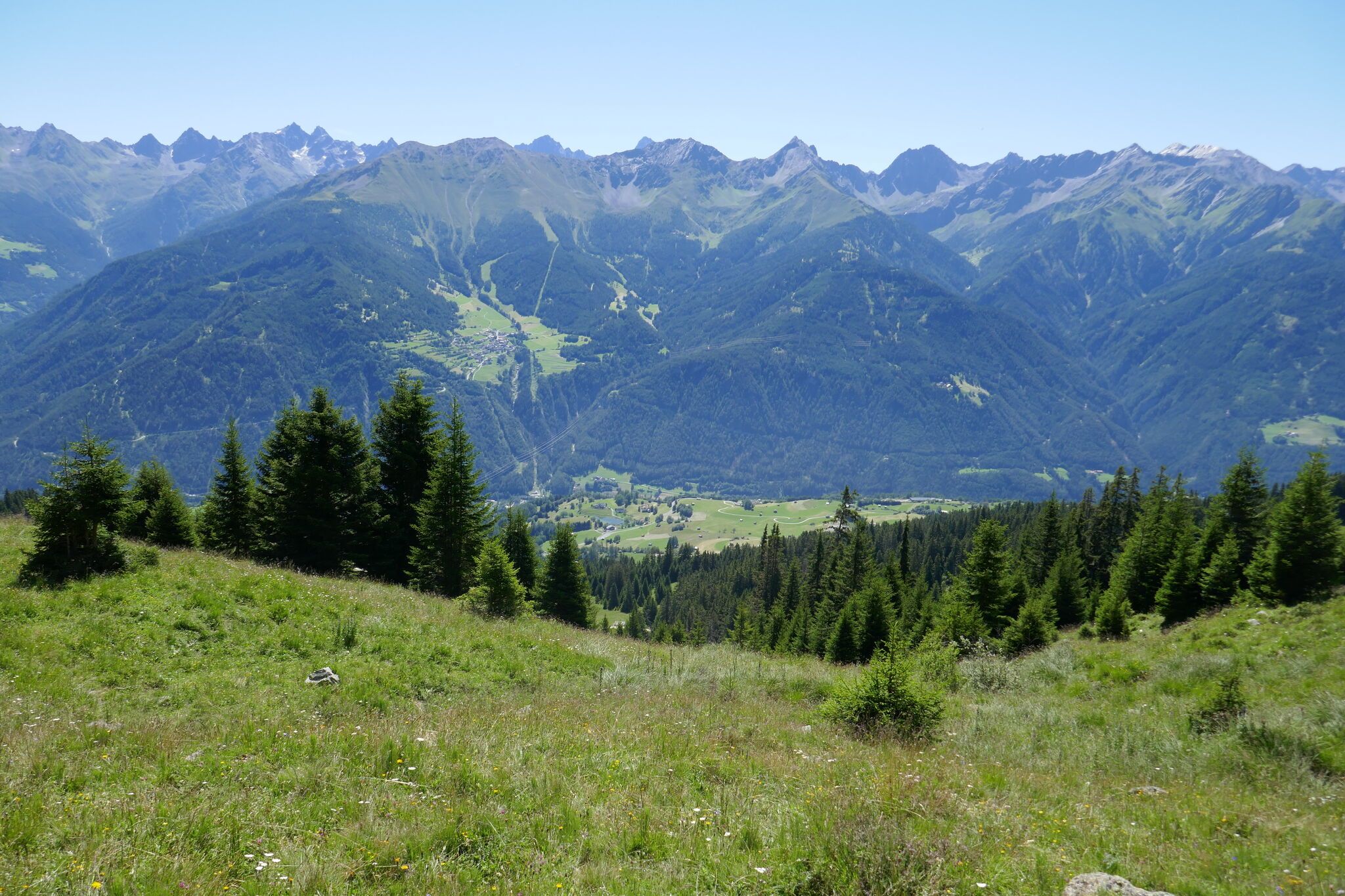
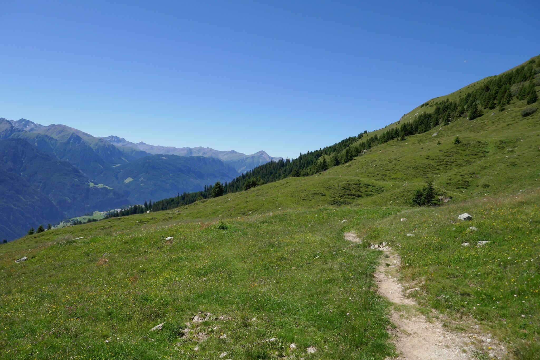
From Möseralm to Frommeshütte: An enjoyable hike through the alpine mountain landscape with beautiful views of the surrounding peaks.
Tour information

  • Requirement: easy
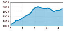
  • Length: 4.4 km
  • Duration: 2:00 h
  • Elevation uphill:262 hm
  • Elevation downhill:104 hm
Highest point2,006 m

Starting point

Möseralm

Finishing point

Frommeshütte
  • Fitness level 2 / 6

Best time of year

  • January
  • February
  • March
  • April
  • May
  • June
  • July
  • August
  • September
  • October
  • November
  • December
Source: Serfaus-Fiss-Ladis

Description

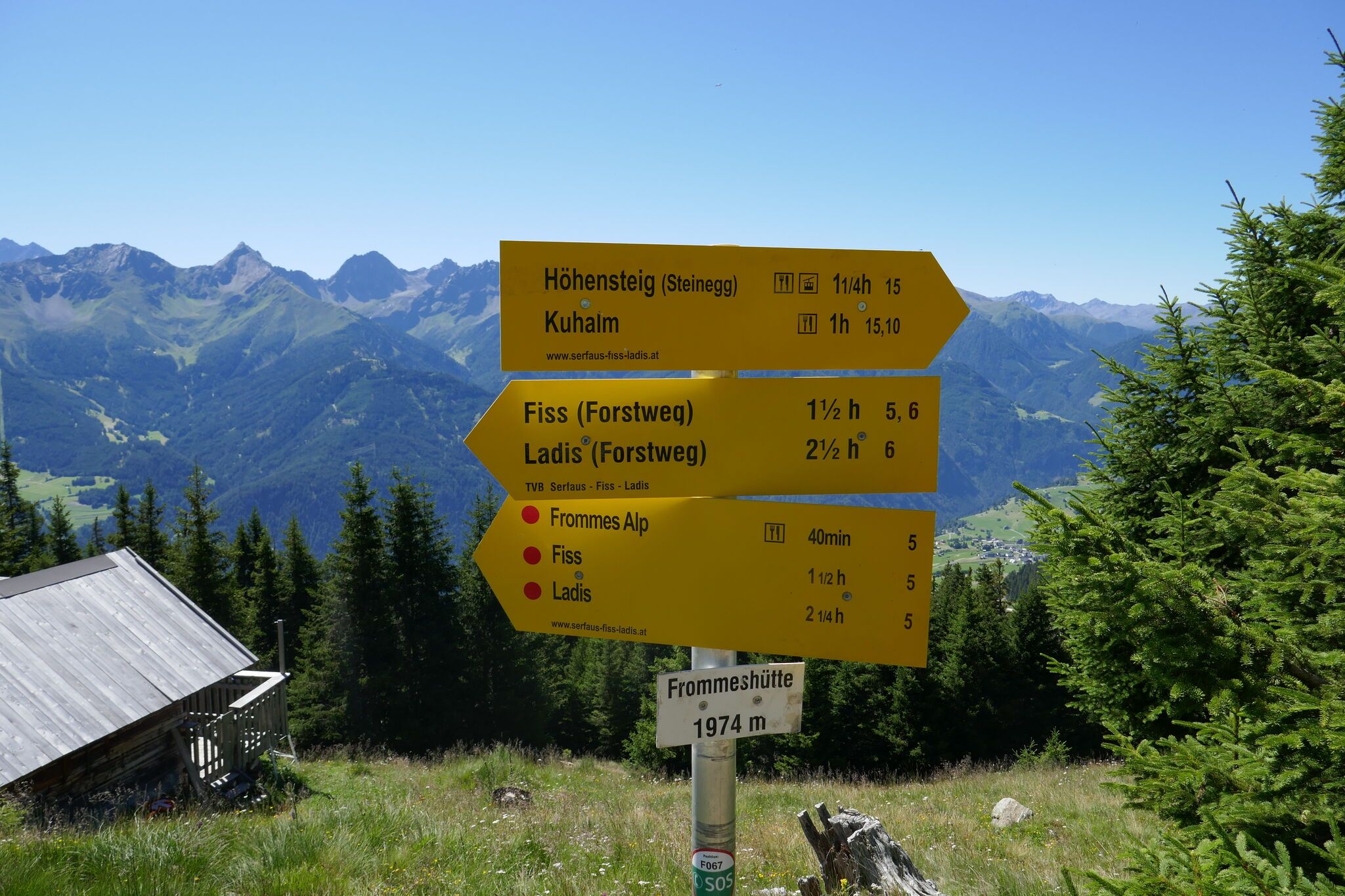
From the Möseralm (F113) continue over the slightly ascending trail to the Steinegg (F061, 20 mins.), then go up the vehicle track to the second serpentine and turn right (F062). Go about 200 meters over alpine pastures to the crossing (F063). Follow the flat trail on the right, you walk along the newly planted sections of the forest and over the Rotschrofenboden to the crossing with trail no. 7 (F064) above Gample (F065). Here you can ascend to the Kuhalm (F121) and back to Fiss (F010). Continuing, the views get better and better, and without much altitude difference through alpine pastures and young forest to the Frommeshütte
(F066/067). Here you can either hike up to the Frommeskreuz (F071) or hike back to Fiss via Windles and the Frommes Alp (F055).

Nearby huts and mountain restaurants

Getting here

  • Arrival by public transport

    Take the bus to Fiss and continue to the cable cars. Take the Möseralmbahn to Möseralm, the starting point of the tour.

  • Parking

    Parking is available in Fiss. Depending on the starting point of the tour, different car parks are available. The car parks are subject to a fee.

Weather

Today

mainly clear
21°C/8°C
5%0l5 km/h

Mon

mainly clear
17°C/6°C
5%0l5 km/h

Tue

clear sky
15°C/4°C
0%0l5 km/h
Go to weather forecast

More tours in the surrounding area

  • Wild Animals Trail

    Opening hours:open
    Difficulty:easy
    Length:1.5 kmDuration:0:31 hElevation uphill:1 m
  • Panorama - Genussweg

    Opening hours:open
    Difficulty:easy
    Length:1.1 kmDuration:1:15 hElevation uphill:282 m
  • Marmot Trail

    Opening hours:open
    Difficulty:easy
    Length:573 mDuration:0:20 hElevation uphill:12 m
  • Murmeltiersteig (Marmot alpine trail)

    Opening hours:open
    Difficulty:medium
    Length:6.9 kmDuration:3:00 hElevation uphill:302 m
  • Six Senses trail

    Opening hours:open
    Difficulty:easy
    Length:6.5 kmDuration:4:00 hElevation uphill:99 m
  • Oberer Spinnsee

    Opening hours:open
    Difficulty:medium
    Length:11.2 kmDuration:5:00 hElevation uphill:427 m
  • Fiss to the Oberen Sattelkopf

    Opening hours:open
    Difficulty:medium
    Length:5.6 kmDuration:3:00 hElevation uphill:1,057 m
  • Forscherpfad

    Opening hours:open
    Difficulty:easy
    Length:3.4 kmDuration:1:30 hElevation uphill:219 m
Newsletter

The mountain is calling? So does our newsletter!

In our monthly newsletter we reveal the best holiday tips for Tyrol.