
Difficulty:
medium
Length:
12.6 km
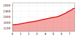
Elevation uphill:
25 m
Quiet, beautiful mountain tour along mountain mowers, alpine pastures and high-altitude mountains to the Muttenkopf, with great views of the Wipptal and the Stubai mountains.
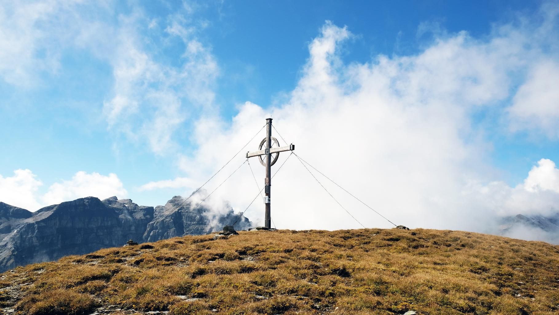
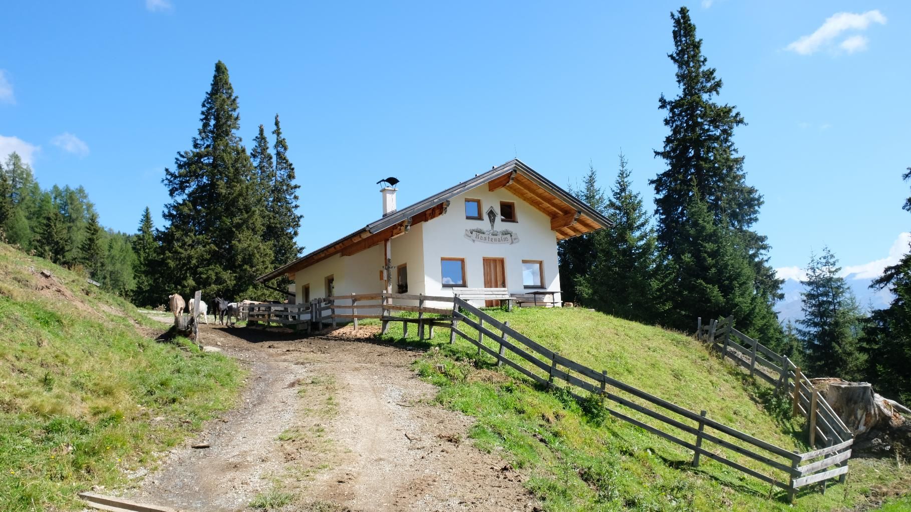
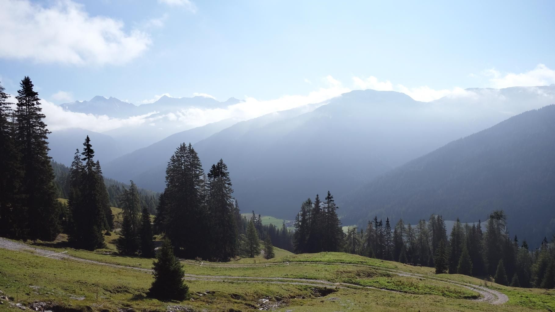
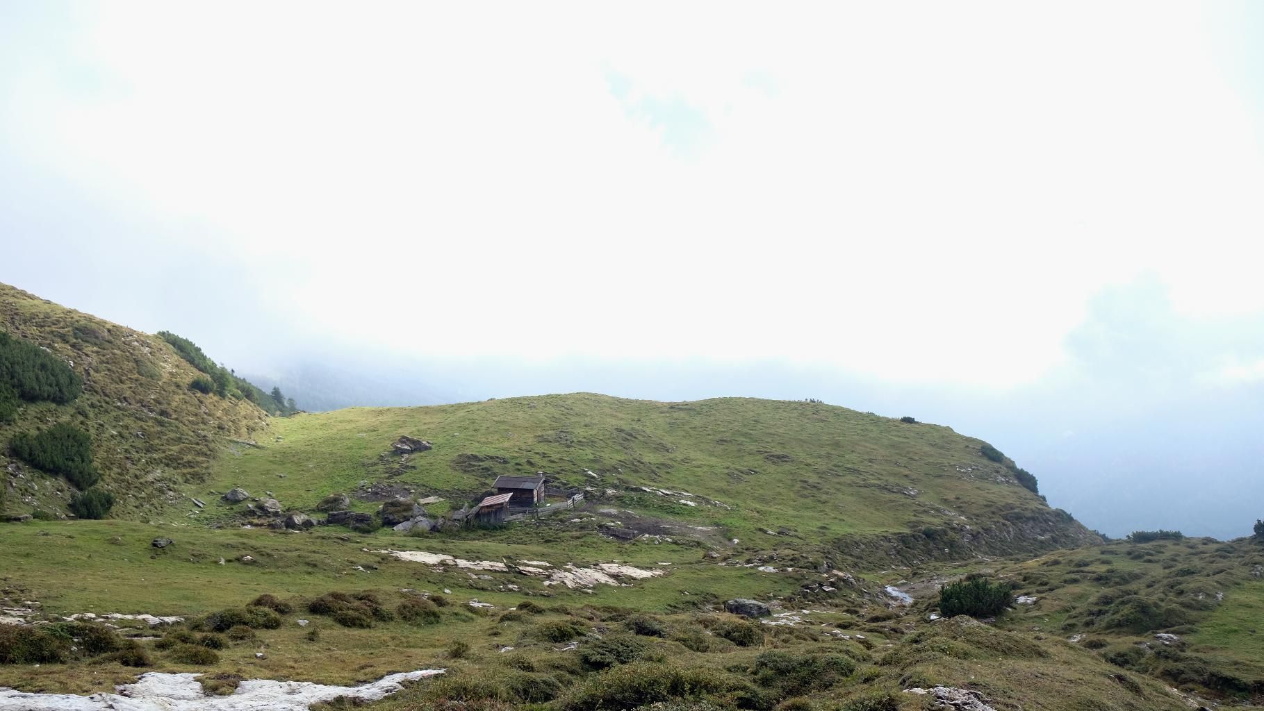
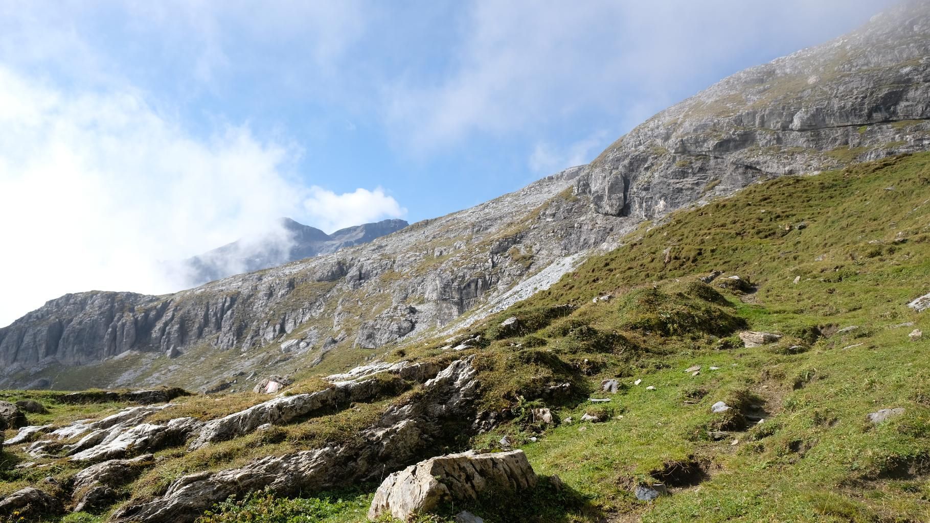
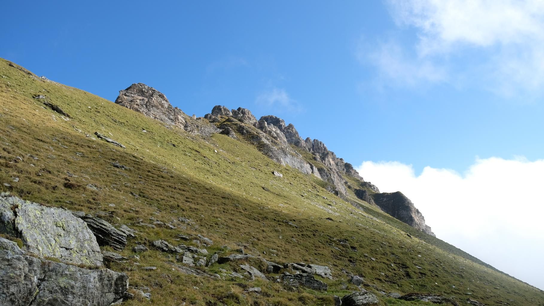
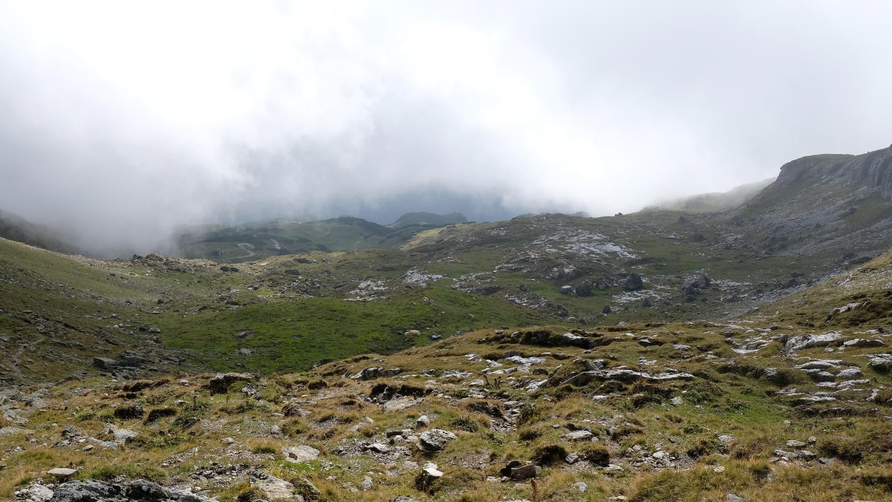
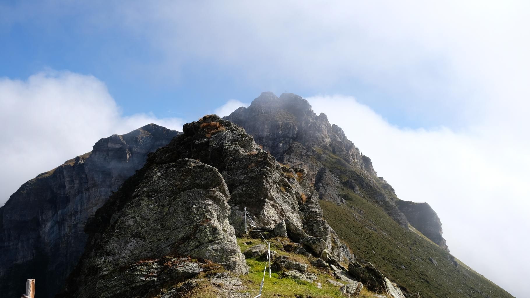
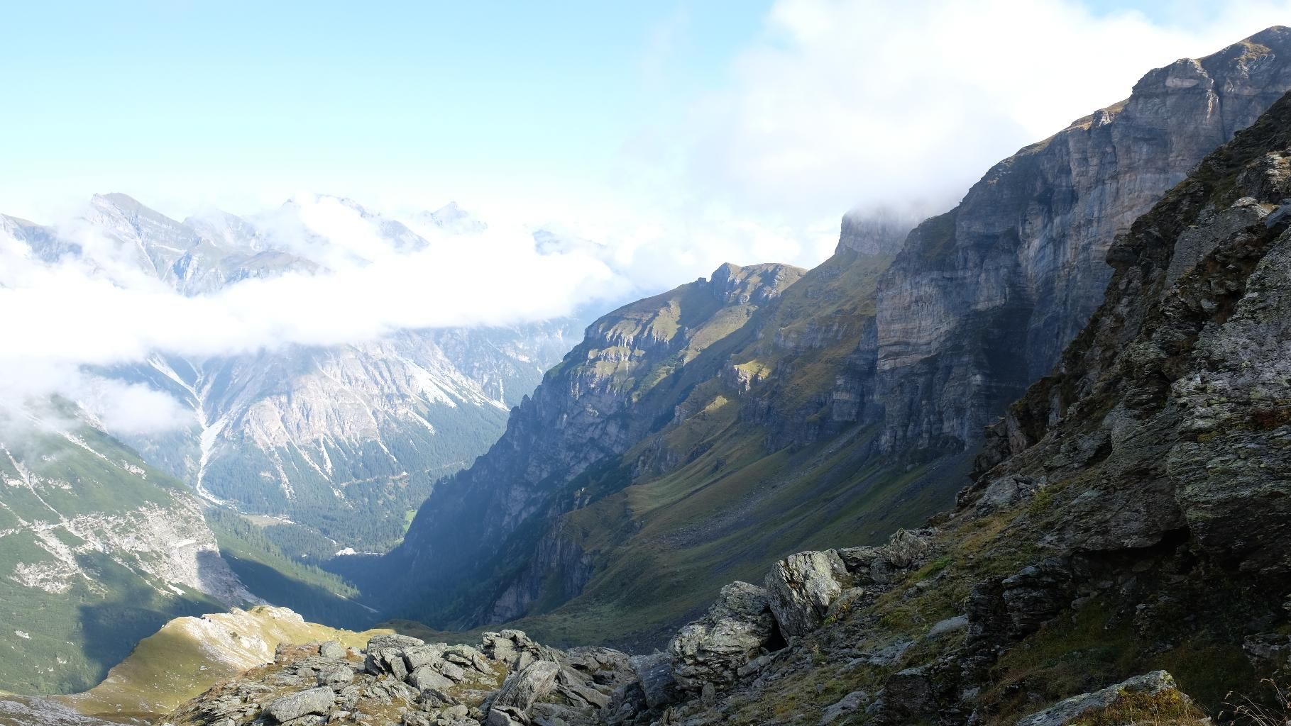
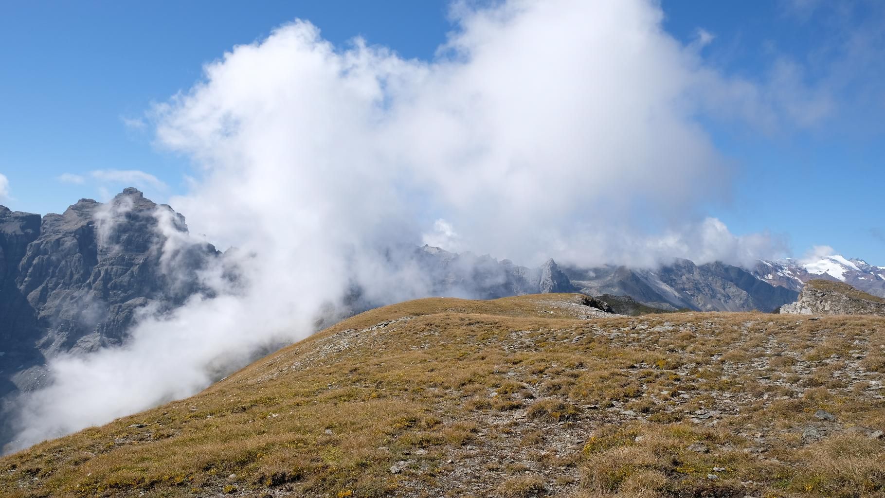
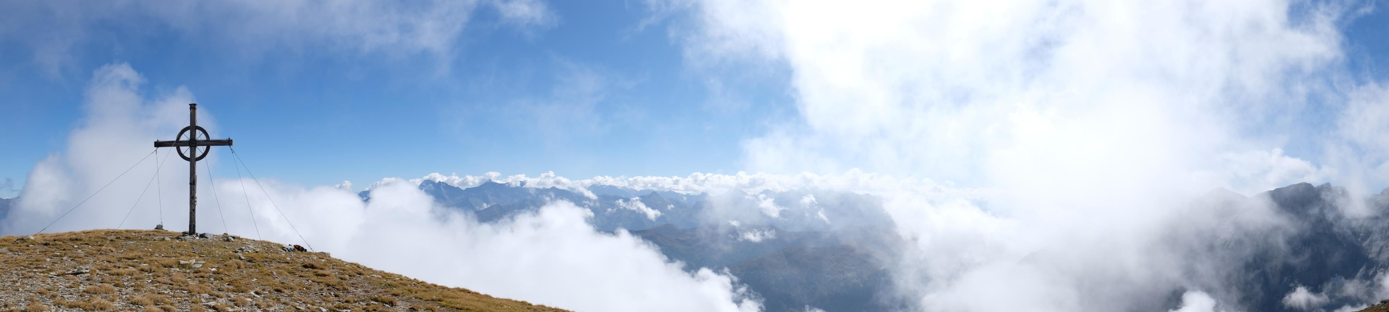
From the car park at the end of the valley in Obernberg, you first follow a forest path which leads through larch forests past mountain mowers to the "Kastnerbergalm". On reaching the alp at 1800m, the woods gradually give way to grazing land, through which a beautiful path winds its way up towards the Muttenjoch. Again and again wide alpine pastures appear, the landscape seems open and inviting. Accompanied by awe-inspiring amazement, the high walls of the Tribulaun massif also come more and more into view, which from now on become a constant companion of the hiker during the tour. It is not long before you reach the Muttenjoch, the crossing into the Gschnitztal. Now only a last, but crisp ascent separates us from the wide summit plateau with its beautifully situated cross. Whether the white glacier landscapes of the Stubaier Alps, the bizarre rock pyramid of the Habicht or a wide view over the Wipptal to the Karwendel Mountains, the view at the top is truly magnificent and a more than worthwhile compensation for the efforts of the ascent.
ROUTE DESCRIPTION
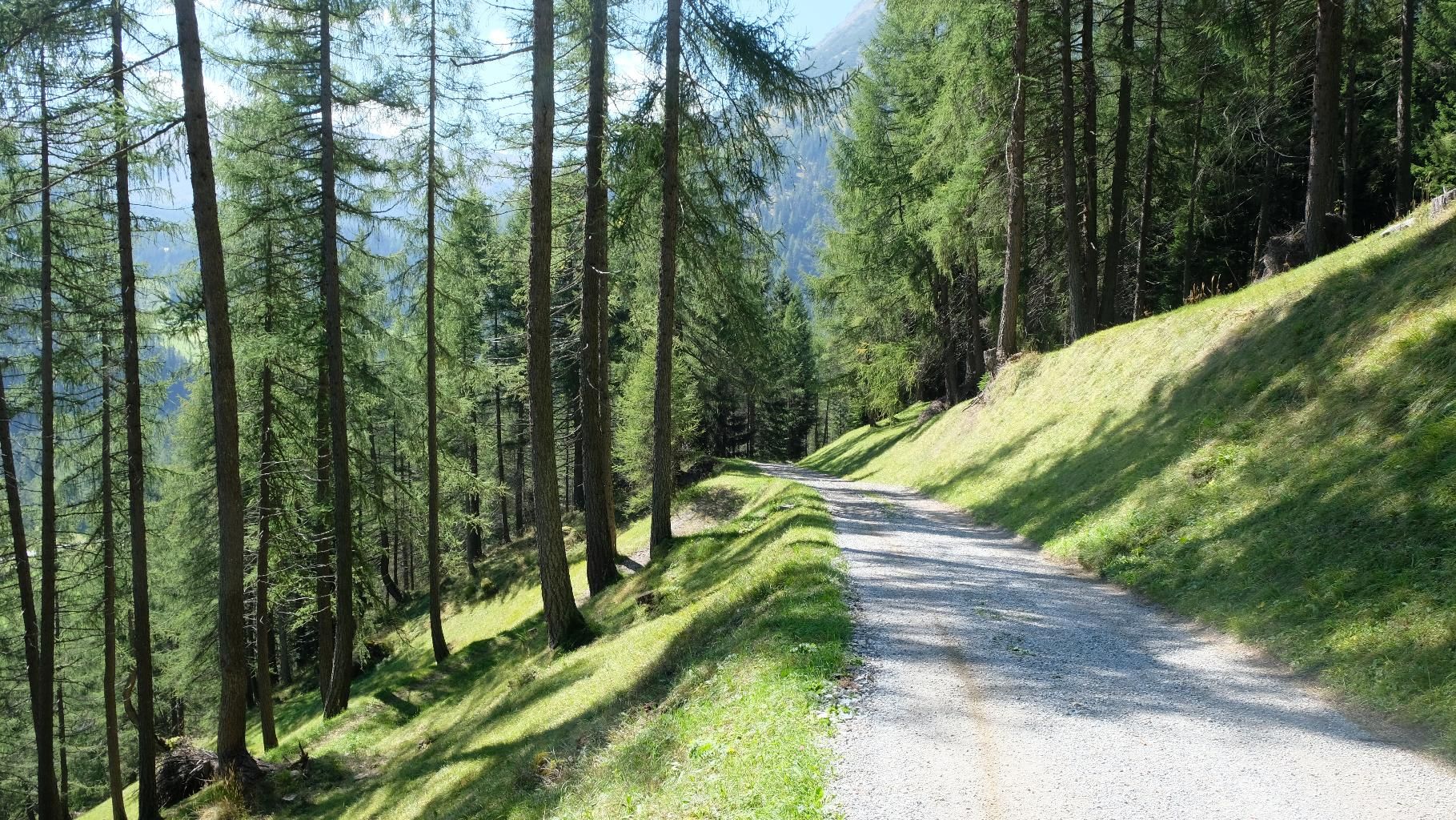
At first you leave the car park and head north-west along a narrow asphalt road that leads to the last farms in the valley. After having passed these, the asphalt gradually turns into gravel, and shortly afterwards you reach a fork in the road. Turn left here and follow the wide forest path n.99A which winds up the northern side of the valley. After a few hairpin bends and a good 300m you finally reach the Kastnerbergalm. Shortly behind the alpine pasture building the path divides again, here you have to follow the cart path in western direction. A little later you reach a high pasture behind a small stream. Here the hiker is free to either continue to follow the relatively flat cart path or to take a small marked path with the number 126 for a short ascent and thus reach the top in a more direct way. Finally, the paths reunite again and the Muttenjoch is not far away, which one reaches some time later after beautiful passages over alpine pastures. The Muttenjoch marks the transition to the Gschnitztal, also from there, a path arrives accordingly. Now there is a last, steep ascent along the ridge in western direction before you finally reach the cross of the Muttenkopf and a magnificent view of the surrounding mountain beauties becomes free.
TIP OF THE AUTHOR
The tour to the Muttenkopf can also be wonderfully combined with a crossing into the Gschnitztal. To do this, simply use the descent from the Muttenjoch to the Martairalm.


.jpg")


")

 (1).jpg")
.JPG")


