Arrival by public transport
Unfortunately, Namlos is no longer connected to the public transport network.
You are therefore dependent on traveling by car.
Nice circular path around the village Namlos
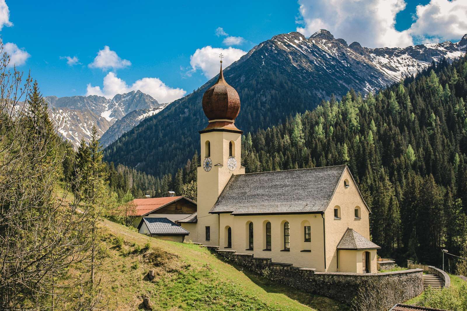
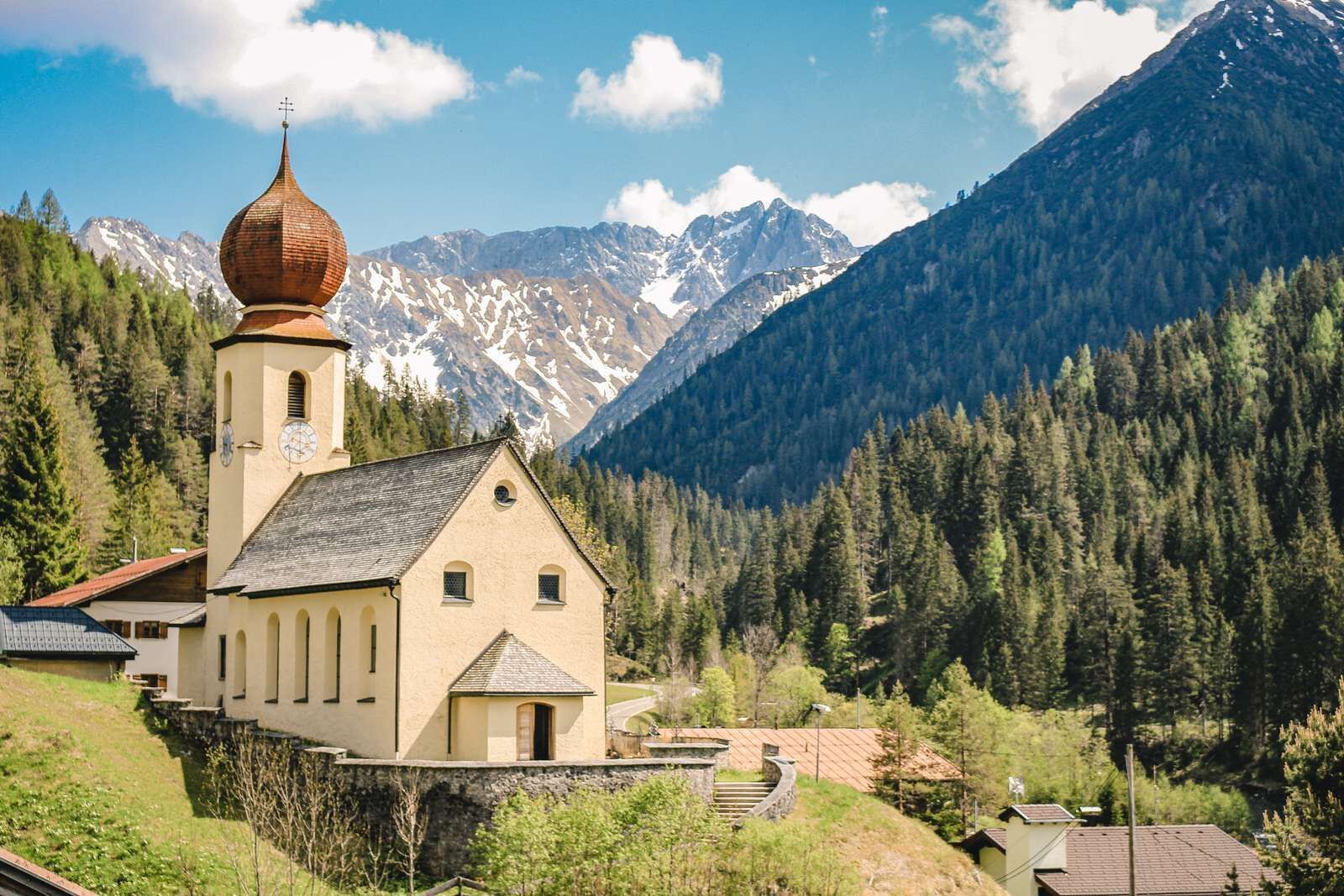
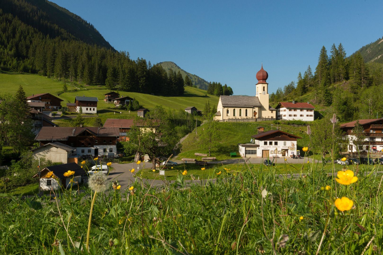
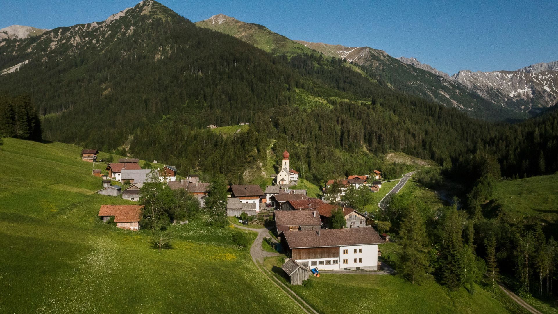
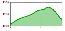
From the car park in Namlos through the town slightly ascending to the old road towards Kelmen. After about 100 meters, turn right onto Wiesenweg and cross the brook Mühlbach. Ascend to the main road, cross it and then follow the meadow path on the left. Along the meadow Rauthwiesen (past the cell phone masts), descending to the right towards the road, then further to the church (last part steep) and back to the village Namlos.
IMPORTANT NOTES:
● Stay on the marked hiking trails
● Keep your distance from grazing animals
● Be aware of the mountain hut opening hours
● Alpine emergency call: 140
Unfortunately, Namlos is no longer connected to the public transport network.
You are therefore dependent on traveling by car.
You will find a parking lot at the entrance to Namlos


