Mountain hikes Obladis via Faltriweg

open
Ladis / Samnaun Group
Difficulty ratings: easy
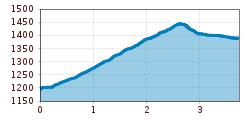
Route length: 3.8 km
Duration: 1:15 h

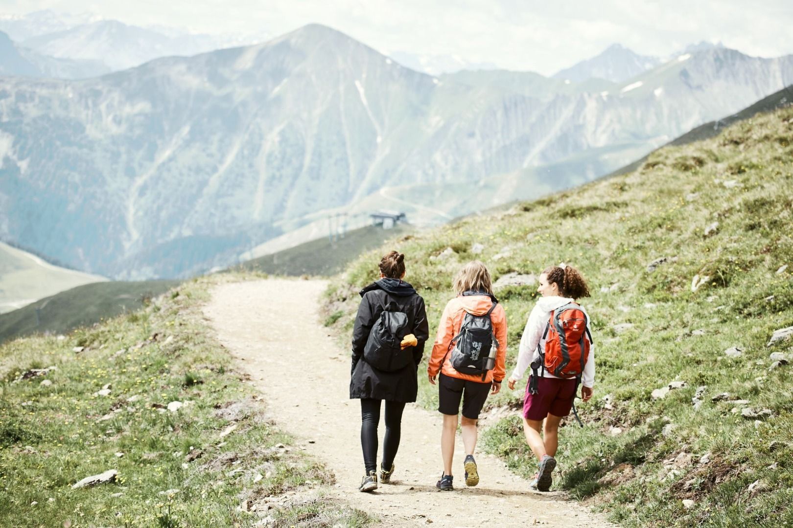
A varied hike from Ladis to Obladis: The Faltriweg leads through the idyllic landscape around Ladis and offers beautiful views of the surrounding mountains.

Tour information

  • Requirement: easy
  • Length: 3.8 km
  • Duration: 1:15 h
  • Elevation uphill:301 hm
  • Elevation downhill:103 hm
Highest point1,454 m

Starting point

Community hall at village centre

Finishing point

Obladis
  • Fitness level 2 / 6

Features

  • suitable for pushchairs

Best time of year

  • January
  • February
  • March
  • April
  • May
  • June
  • July
  • August
  • September
  • October
  • November
  • December
Source: Serfaus-Fiss-Ladis

Description

As on trail no. 33. At the crossing with trail no. 2, go on the main trail straight ahead for a short bit, then at the serpentine, turn right (L001). Take the Ochsenleite trail (crossing of the Explorer's Trail) which leads to a flatter terrace of meadows. From here, go to the crossing in Edlachwald forest (F006a). Walk right down on trail no. 3 to the Villa (L016) and to Obladis (L065), while trail no. 34 leads slightly to the right up to the Schönegg (L020). The left trail no. 3 leads up to the Falterjöchl (F006, beautiful viewpoint spot) and further on to Fiss (F008).
 

Nearby huts and mountain restaurants

Getting here

  • Arrival by public transport

    Take the bus to Ladis village. From there, walk to the municipal office, the starting point of the tour.

  • Parking

    Parking is available at the cable cars in Ladis. The car parks are subject to a fee.

Weather

Today

clear sky
20°C/7°C
0%0l5 km/h

Sun

mainly clear
21°C/9°C
70%1.7l5 km/h

Mon

partly Cloudy
21°C/11°C
40%0l5 km/h
Go to weather forecast

More tours in the surrounding area

  • Marmot Trail

    Opening hours:open
    Difficulty:easy
    Length:573 mDuration:0:20 hElevation uphill:12 m
  • Forscherpfad

    Opening hours:open
    Difficulty:easy
    Length:3.4 kmDuration:1:30 hElevation uphill:219 m
  • Murmeltiersteig (Marmot alpine trail)

    Opening hours:open
    Difficulty:medium
    Length:6.9 kmDuration:3:00 hElevation uphill:302 m
  • Six Senses trail

    Opening hours:open
    Difficulty:easy
    Length:6.5 kmDuration:4:00 hElevation uphill:99 m
  • Oberer Spinnsee

    Opening hours:open
    Difficulty:medium
    Length:11.2 kmDuration:5:00 hElevation uphill:427 m
  • Fiss to the Oberen Sattelkopf

    Opening hours:open
    Difficulty:medium
    Length:5.6 kmDuration:3:00 hElevation uphill:1,057 m
  • Panorama - Genussweg

    Opening hours:open
    Difficulty:easy
    Length:1.1 kmDuration:1:15 hElevation uphill:282 m
  • Wild Animals Trail

    Opening hours:open
    Difficulty:easy
    Length:1.5 kmDuration:0:31 hElevation uphill:1 m
Newsletter

The mountain is calling? So does our newsletter!

In our monthly newsletter we reveal the best holiday tips for Tyrol.