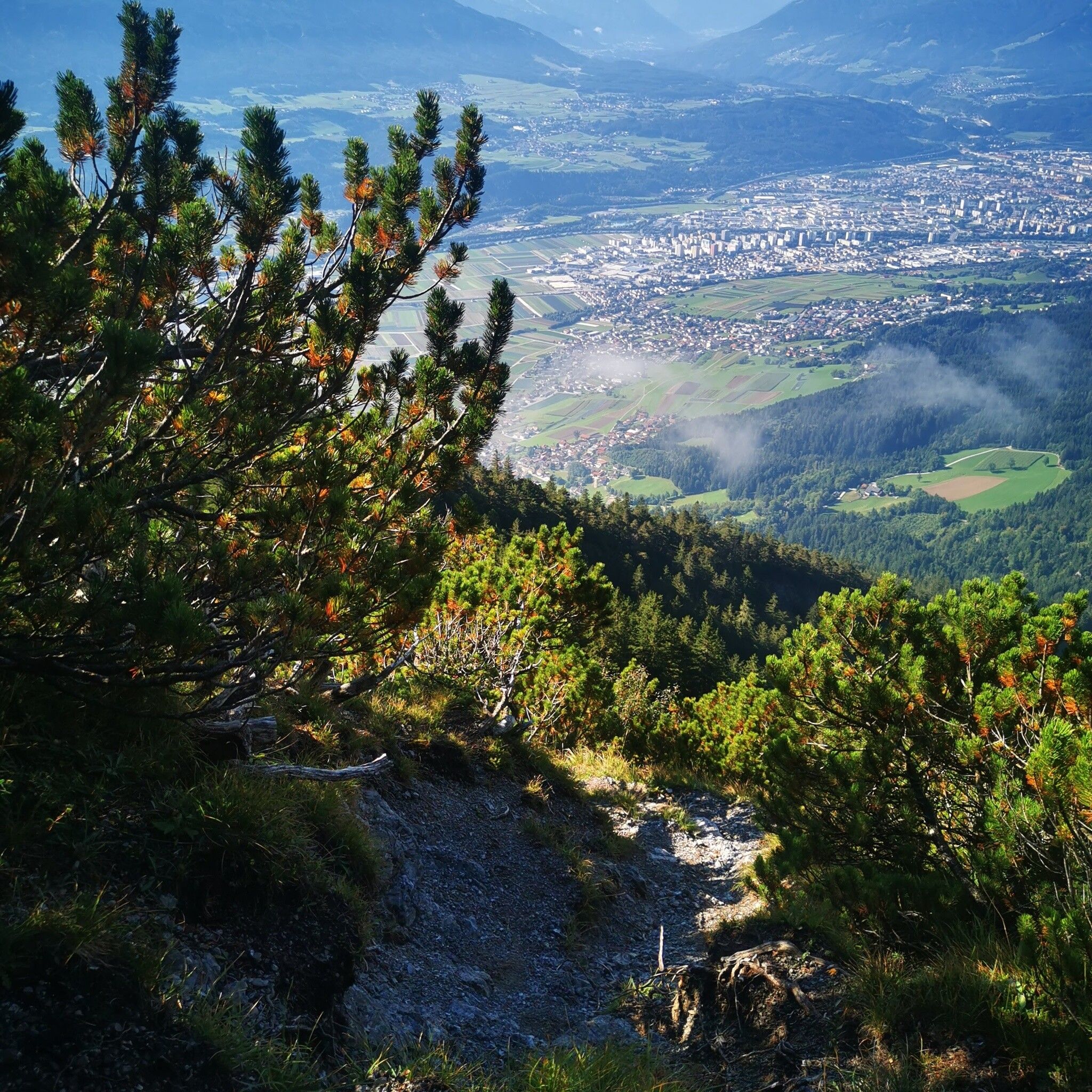
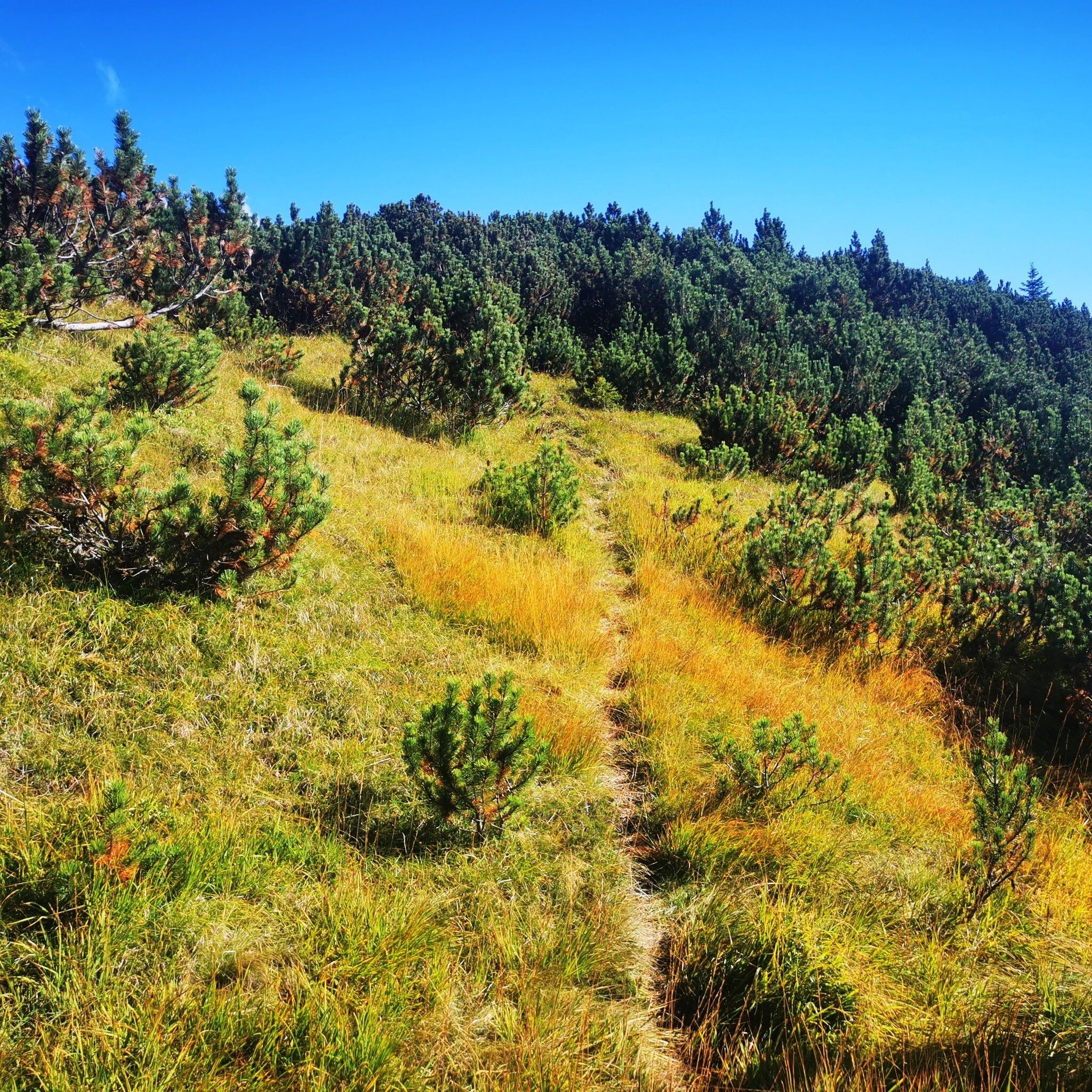
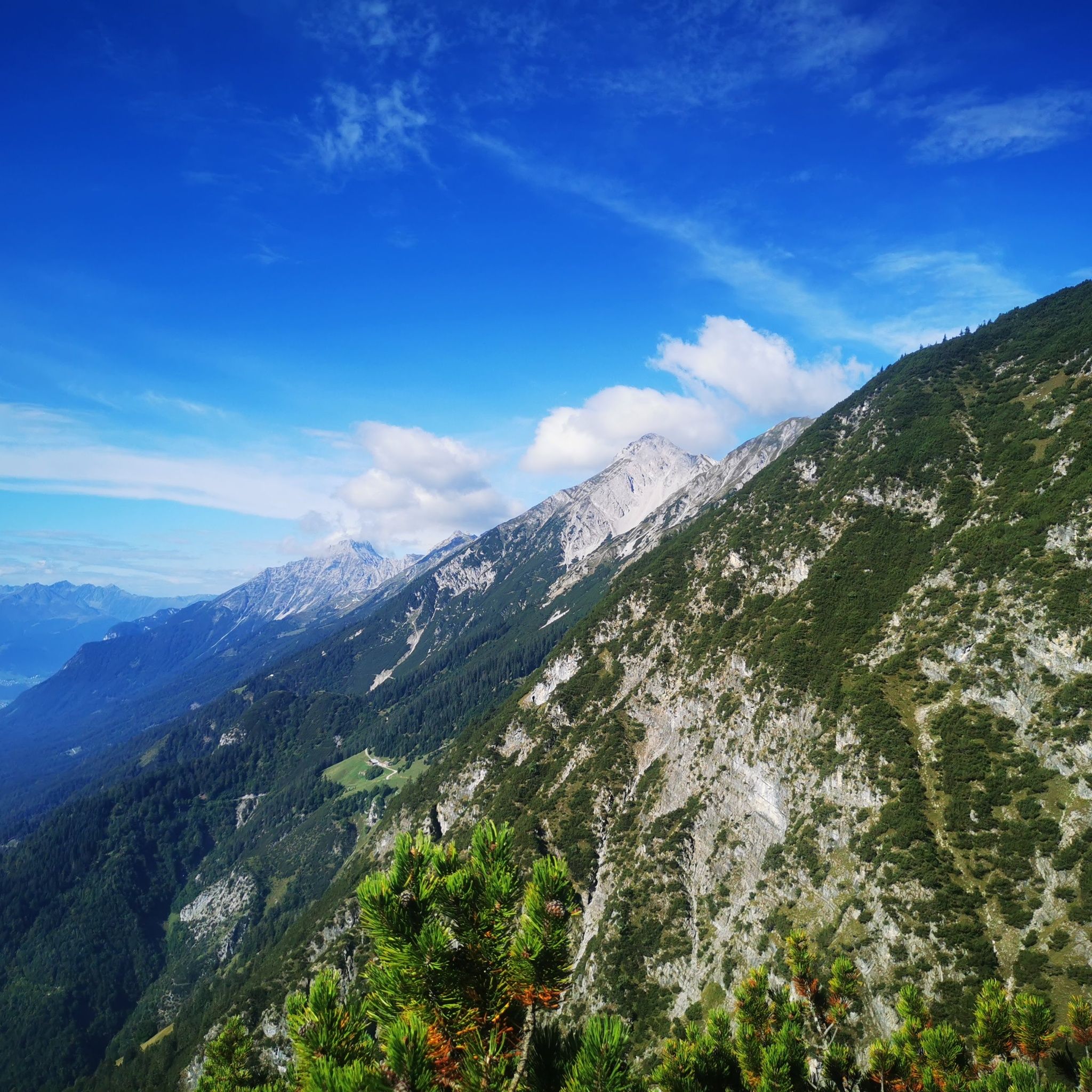
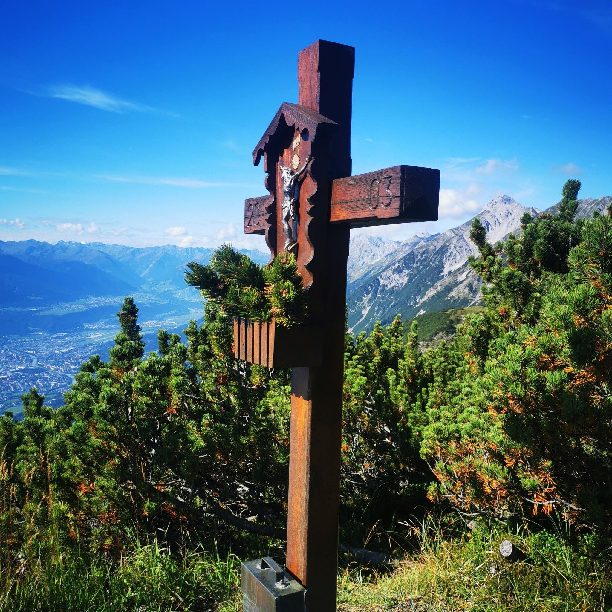
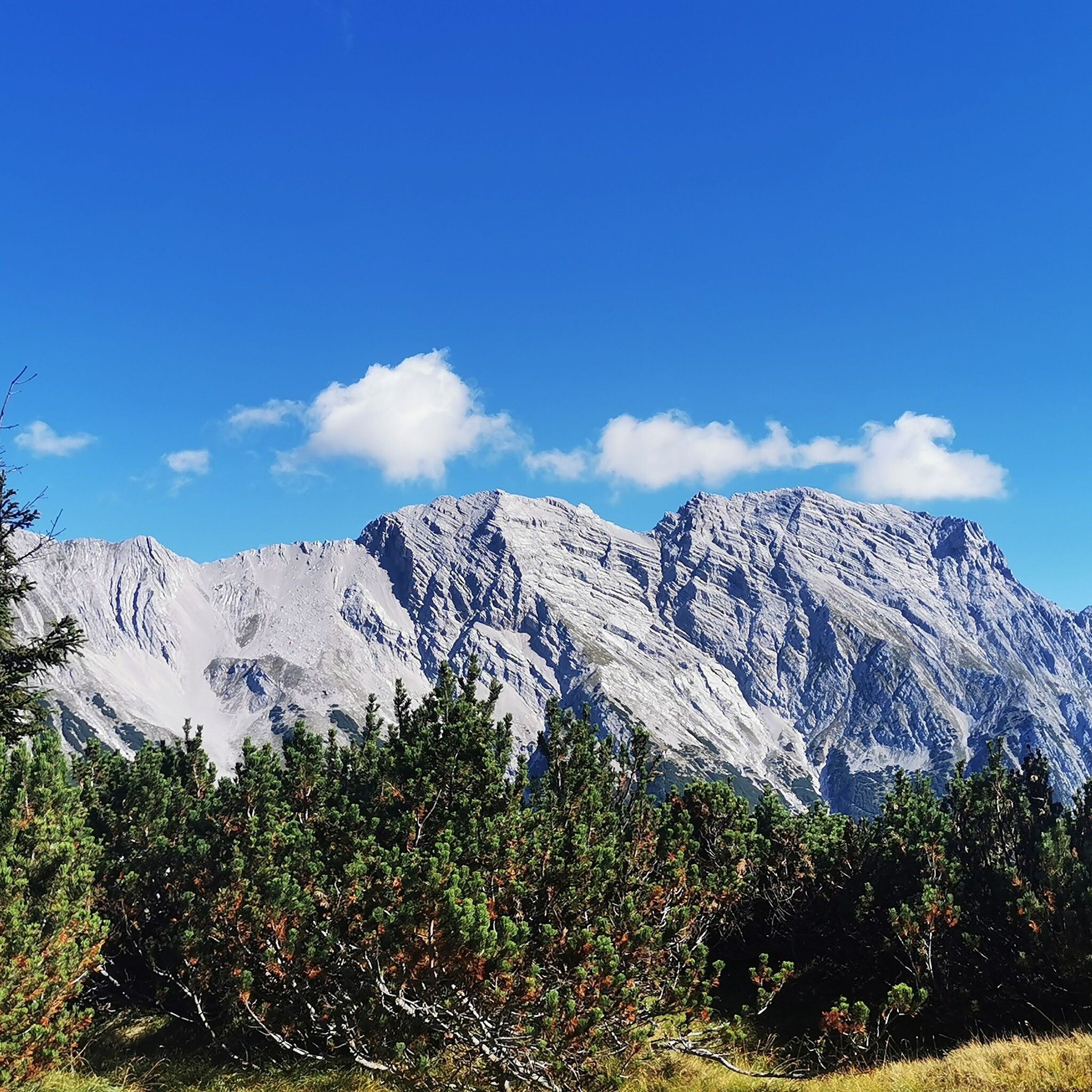
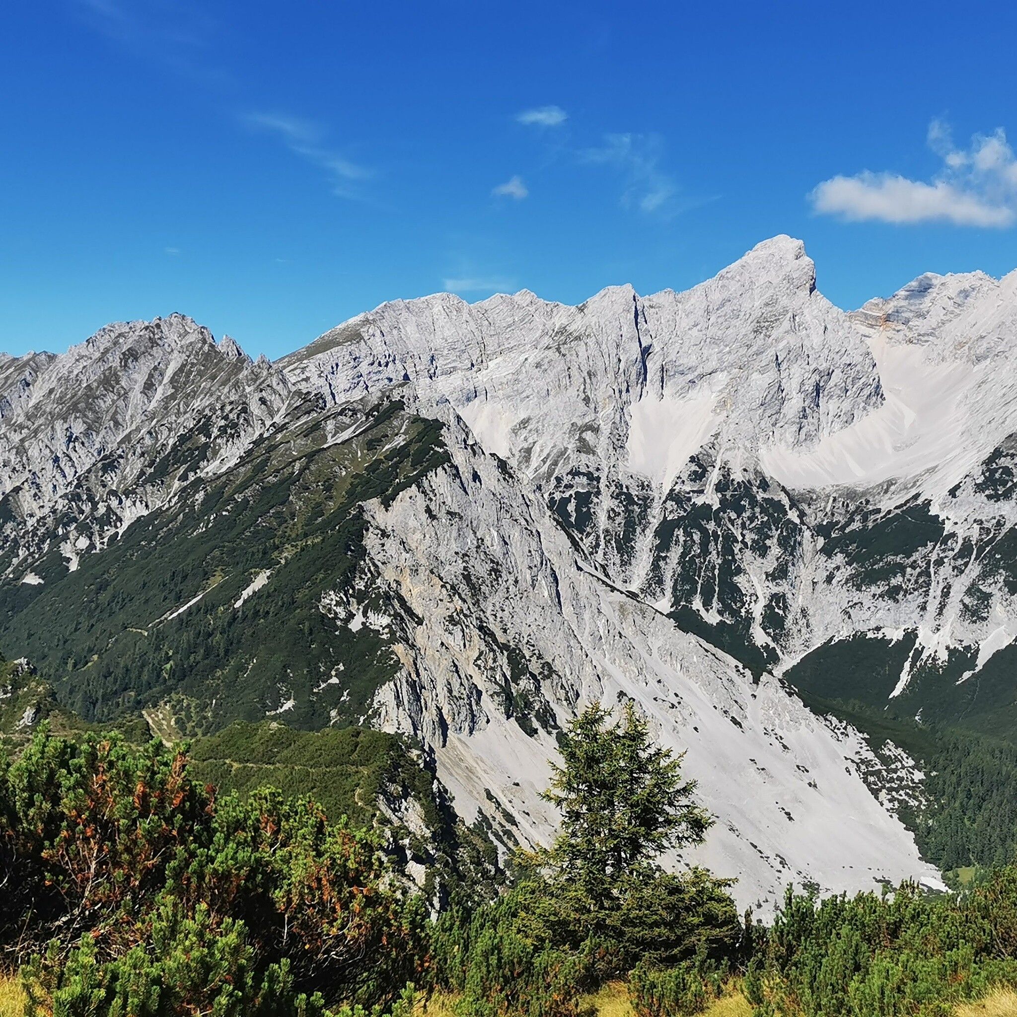
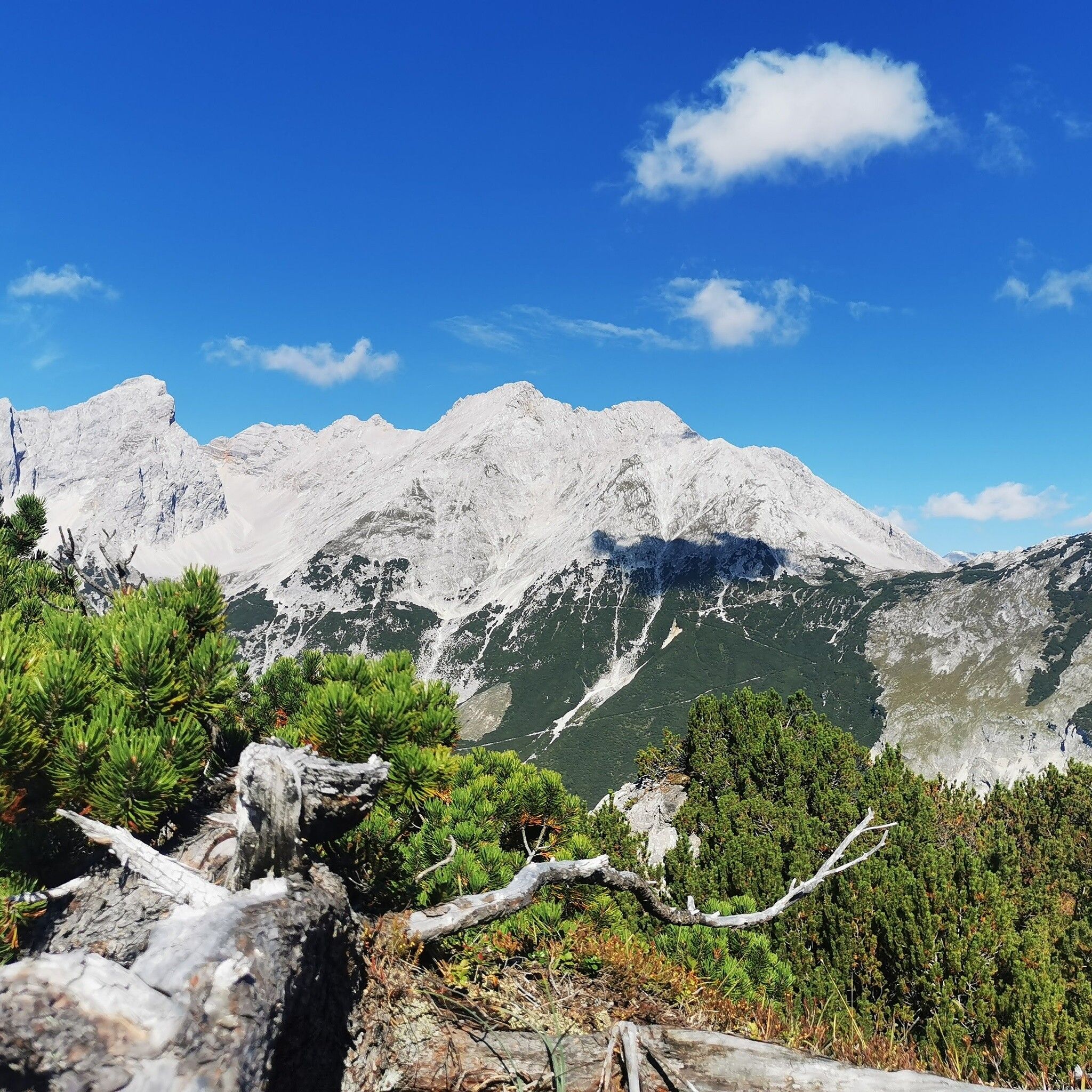
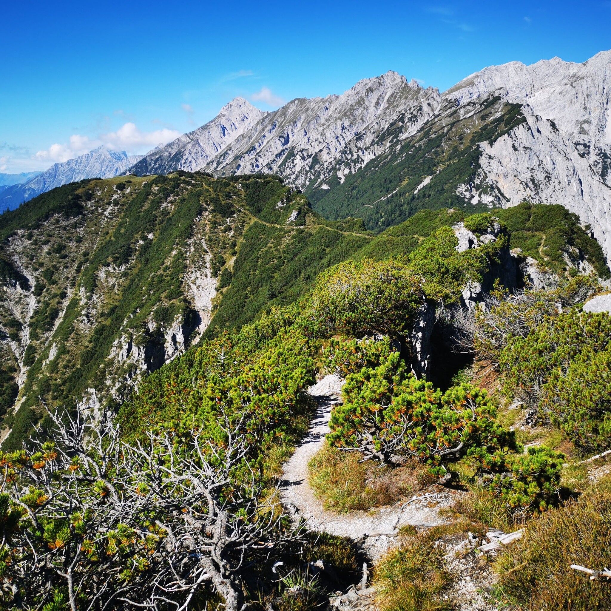
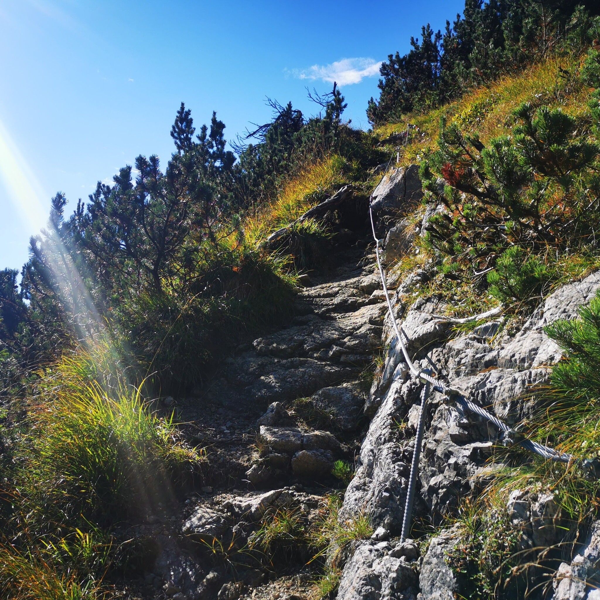
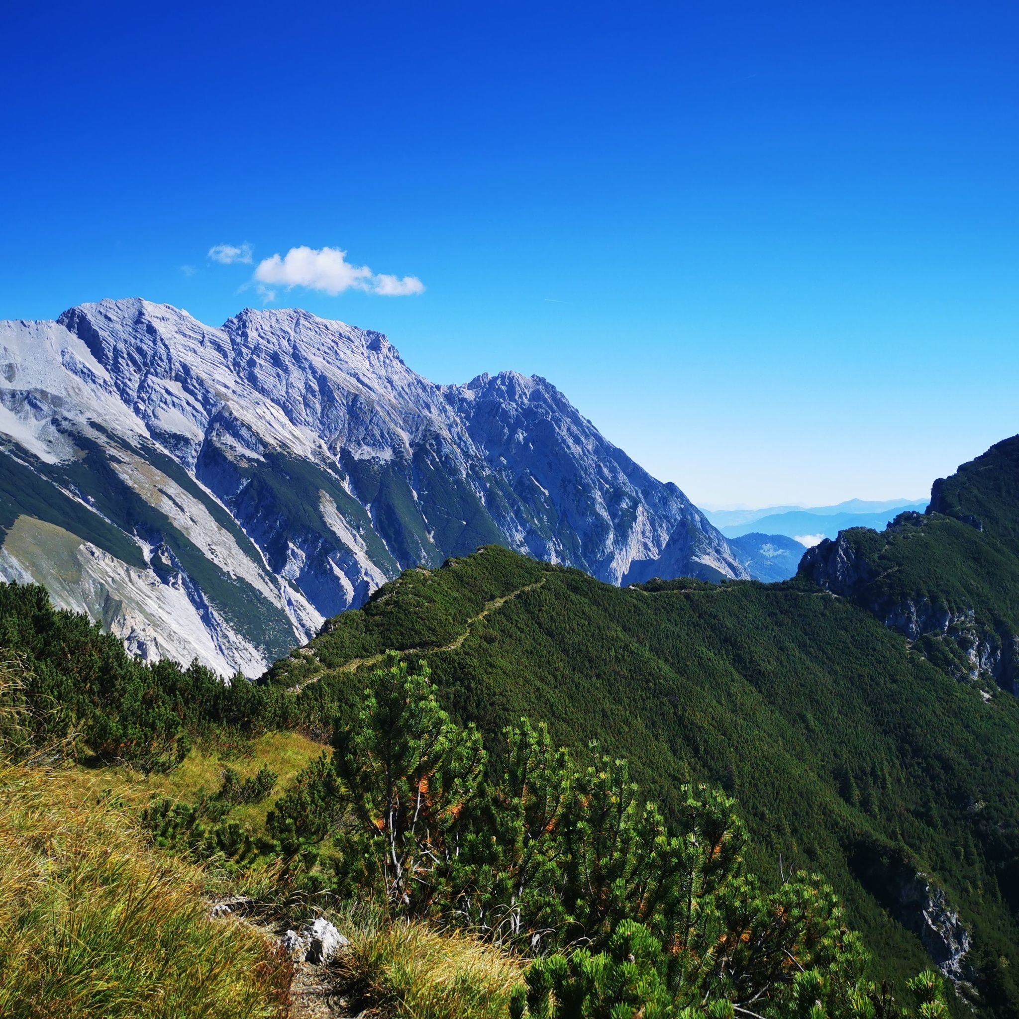
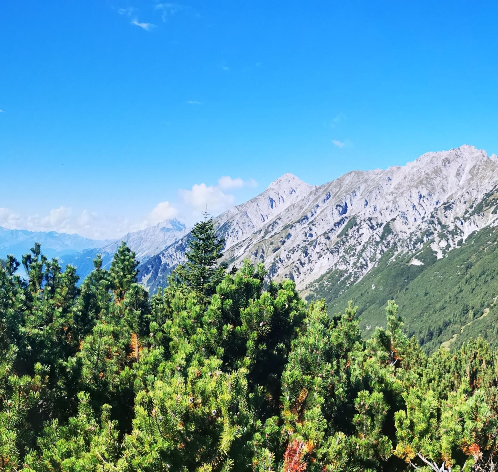
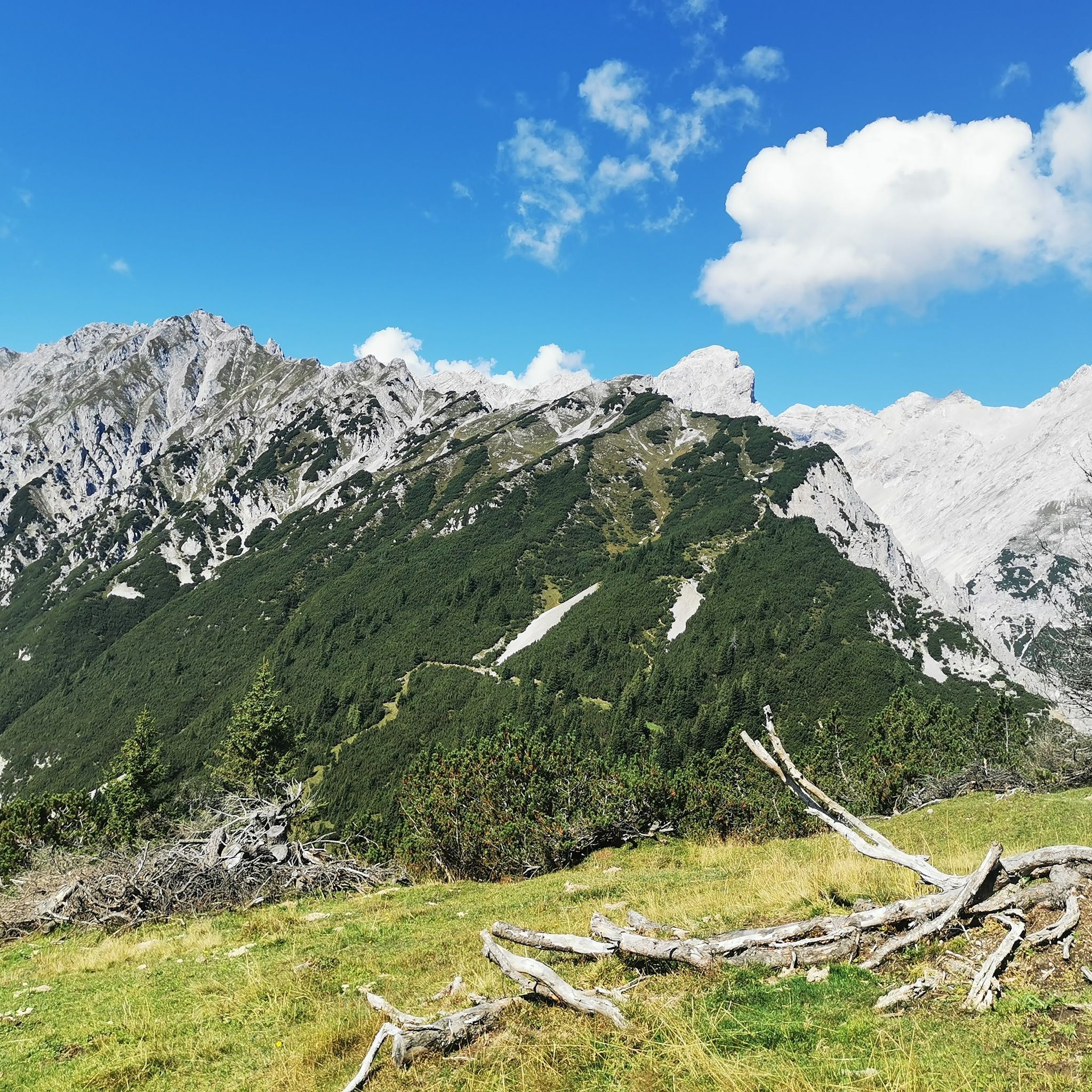
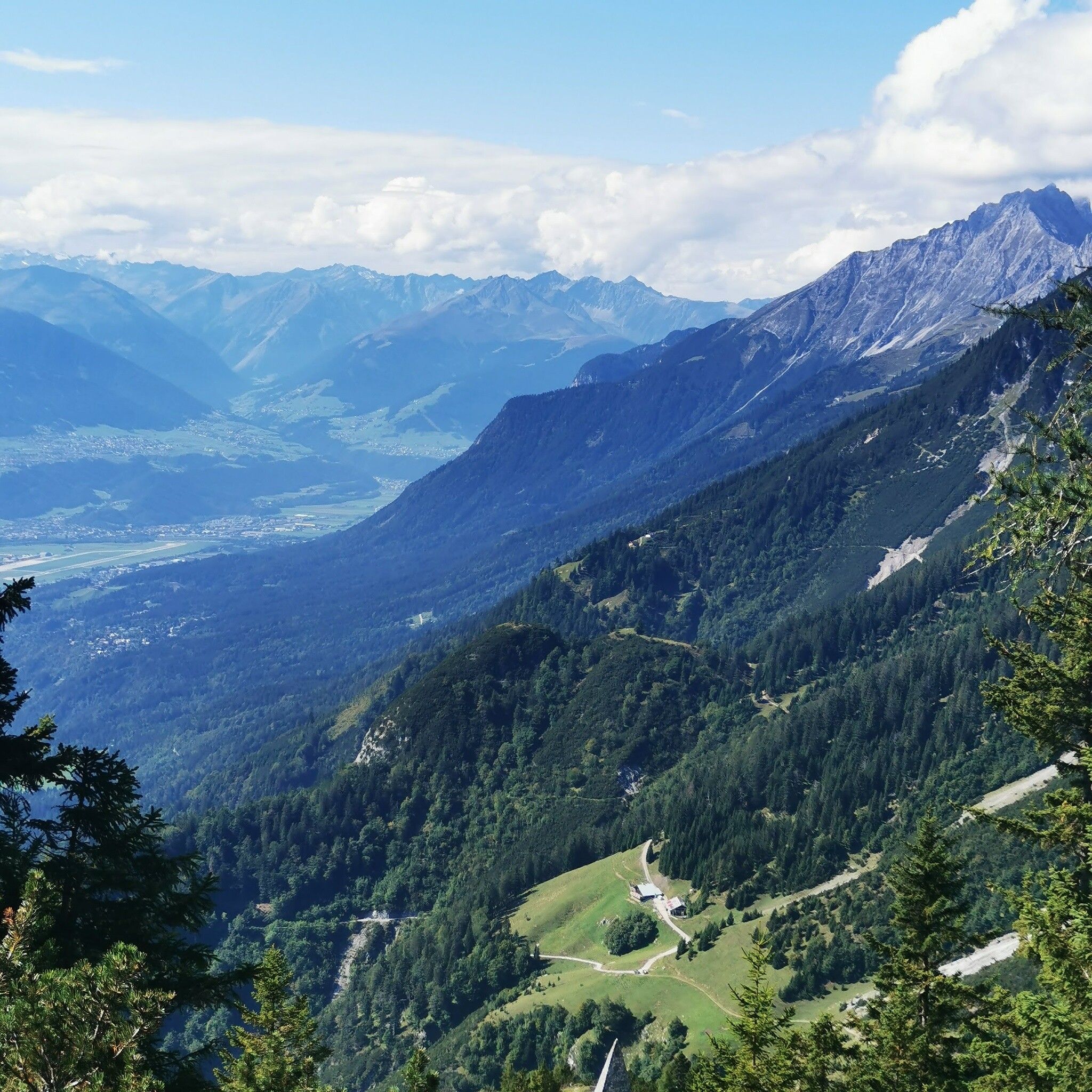
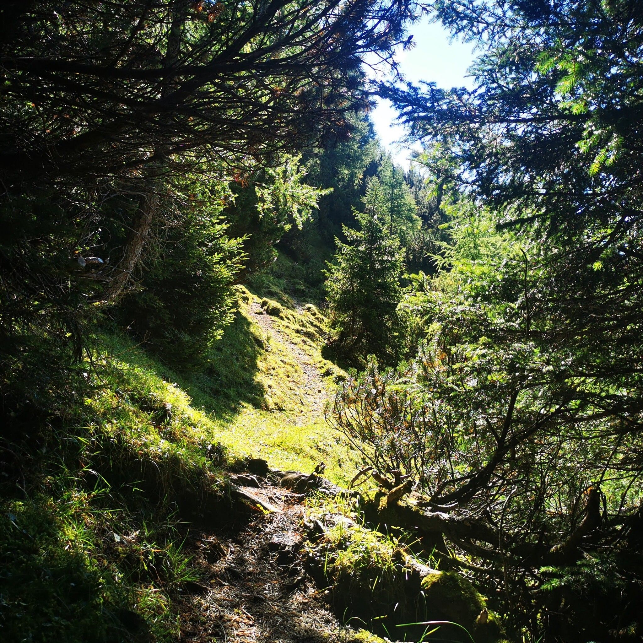
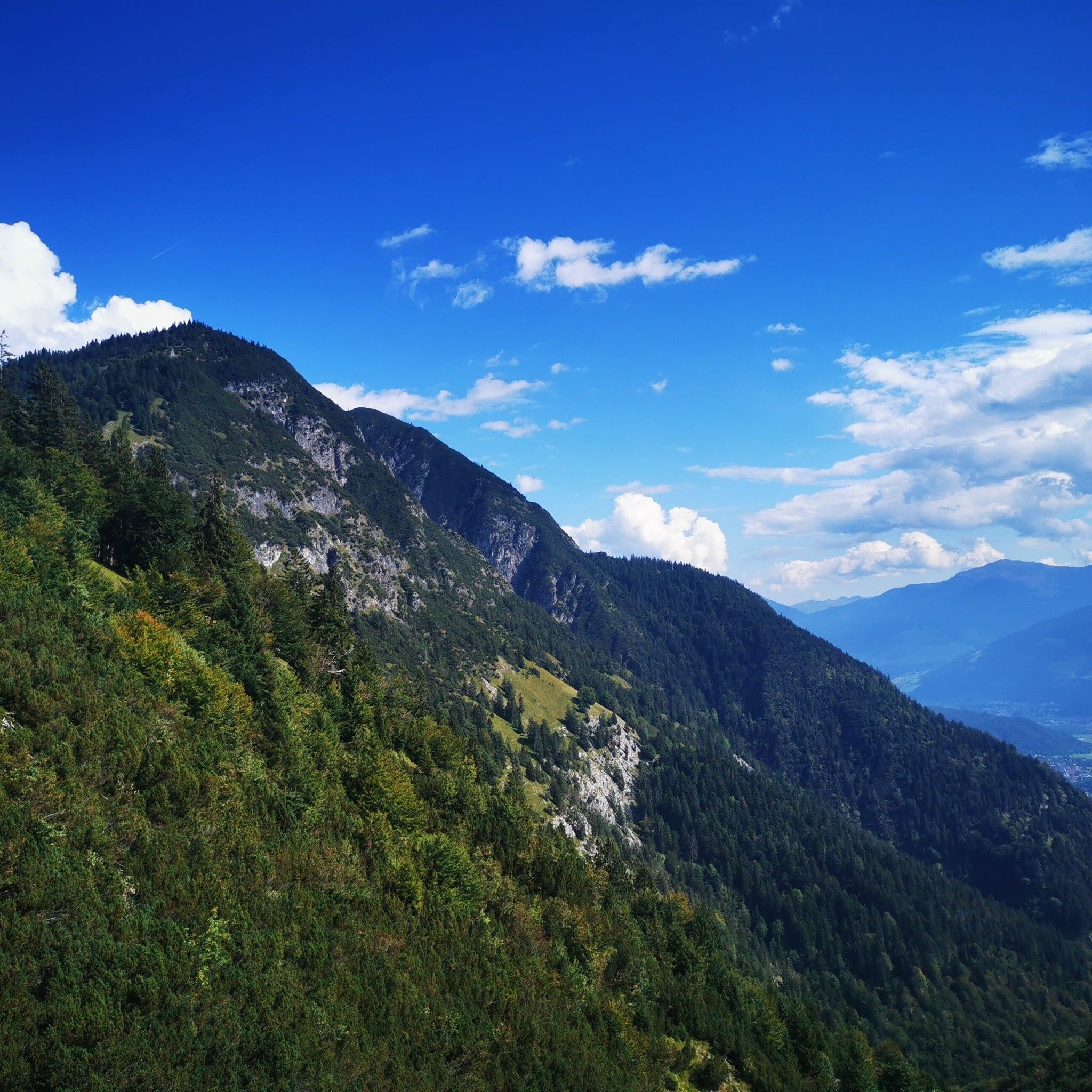
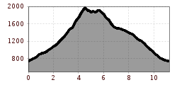
From Thaur via the Guggermauer Hut to the Haller Zunterkopf. Over the Thaurer Zunterkopf to the Kaisersäule and back to Thaur.
Open interactive mapOpen this POI on the interactive mapElevation profileOver the Zunterköpfe above Thaur.gpx
Café Konditorei SchreinerOpening hours:Open todayPlace:Thaur:cafésee restaurant detailssee restaurant details: Café Konditorei Schreiner
DA GIUSEPPE trattoria - pizzeriaOpening hours:Open todayPlace:Thaur:Restaurantsee restaurant detailssee restaurant details: DA GIUSEPPE trattoria - pizzeria
Hotel Gasthof Purner ****Opening hours:Open todayPlace:Thaur:Restaurantsee restaurant detailssee restaurant details: Hotel Gasthof Purner ****
Restaurant StanglOpening hours:Open todayPlace:Thaur:Restaurantsee restaurant detailssee restaurant details: Restaurant Stangl
hinauf auf den largoz_img_54121720 © Hall Wattens Hinauf auf den LargozDifficulty:mediumLength:6.9 kmDuration:5:00 hElevation uphill:853 mSee trailSee trail: Hinauf auf den Largoz
Blick auf den Bettelwurf © Anne W. Vom Halltal über die 3 Zunterköpfe zur KaisersäuleDifficulty:mediumLength:12.0 kmDuration:6:04 hElevation uphill:1,236 mSee trailSee trail: Vom Halltal über die 3 Zunterköpfe zur Kaisersäule
almwanderung außermelang-alm_img_603433194 © Anne W. Almwanderung Außermelang-AlmDifficulty:easyLength:7.8 kmDuration:2:45 hElevation uphill:473 mSee trailSee trail: Almwanderung Außermelang-Alm
Zirmweg © Anne W. Lizum Stone Pine TrailDifficulty:mediumLength:12.0 kmDuration:4:30 hElevation uphill:617 mSee trailSee trail: Lizum Stone Pine Trail
Hallerangeralm © Anne W. Through the Halltal (valley) to the HallerangerDifficulty:mediumLength:11.7 kmDuration:4:30 hElevation uphill:1,344 mSee trailSee trail: Through the Halltal (valley) to the Halleranger
Glungezerbahn © Hall Wattens Zwugl - Runde am GlungezerDifficulty:easyLength:1.8 kmDuration:0:34 hElevation uphill:76 mSee trailSee trail: Zwugl - Runde am Glungezer
Weiter oberhalb der Thaurer Alm © Anne W. Auf einen kleinen Aussichtsgipfel neben der Thaurer Alm: Thaurer RosskopfDifficulty:mediumLength:9.9 kmDuration:4:00 hElevation uphill:741 mSee trailSee trail: Auf einen kleinen Aussichtsgipfel neben der Thaurer Alm: Thaurer Rosskopf
Adlerweg Etappe 12 © Tirol Werbung/Hans Herbig Eagle Walk Stage 12: Hallerangerhaus - InnsbruckDifficulty:difficultLength:13.0 kmDuration:5:30 hElevation uphill:1,150 mSee trailSee trail: Eagle Walk Stage 12: Hallerangerhaus - Innsbruck
Give feedback for a chance to win a special holiday experience!Click here for the surveyClick here for the survey