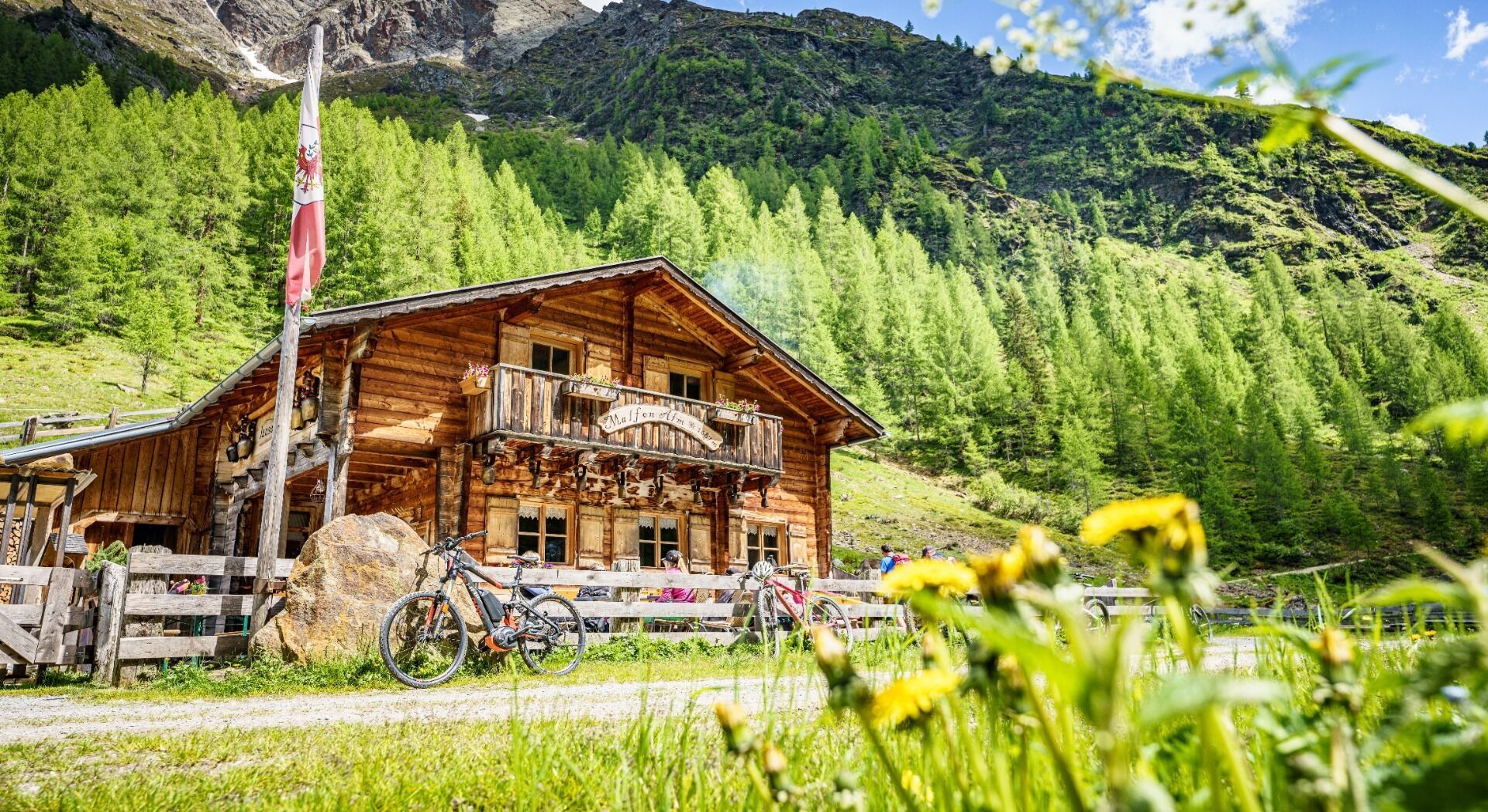
Mountain hikes Pettneu - Malfonalm

closed
Pettneu / Verwall
Difficulty ratings: medium
Route length: 4.8 km

Tour information

  • Requirement: medium
  • Length: 4.8 km
  • Elevation uphill:500 hm
  • Elevation downhill:0 hm
Highest point1,687 m
Source: TVB St Anton am Arlberg

Description

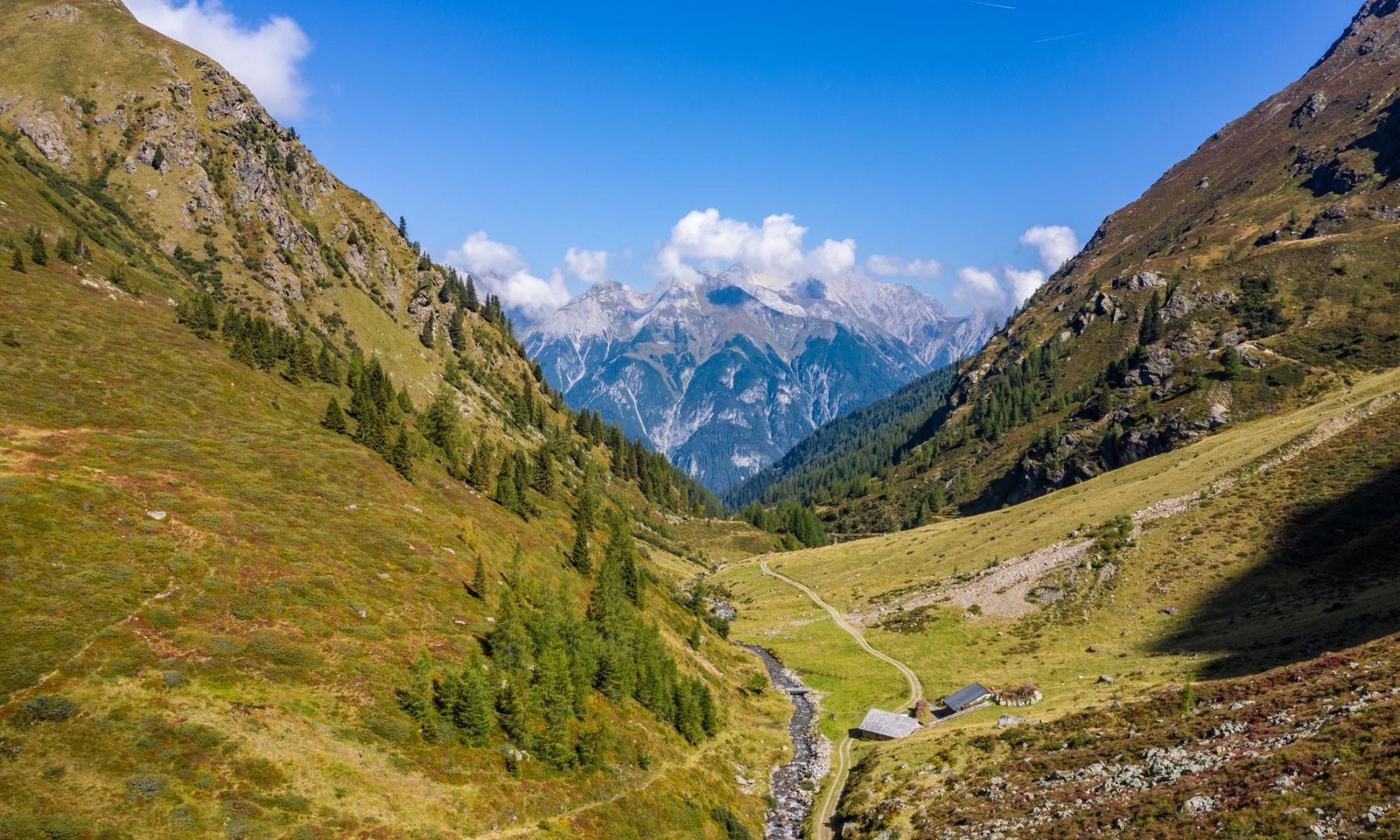
From the information office approx. 100 m eastwards, here turn right down the footpath to the Rosanna and continue following the signs to the Malfonalpe. We hike on a wide path next to the rushing Malfonbach stream through the Malfon valley.

Nearby huts and mountain restaurants

Weather

Today

light rain showers
7°C/2°C
75%7.1l5 km/h

Thu

moderate rain
5°C/2°C
80%7.8l5 km/h

Fri

snow showers
5°C/1°C
85%11.4l5 km/h
Go to weather forecast

More tours in the surrounding area

Newsletter

The mountain is calling? So does our newsletter!

In our monthly newsletter we reveal the best holiday tips for Tyrol.