Mountain hikes Pettneu - Nessleralm

Pettneu / Lechtal Alps
Difficulty ratings: easy
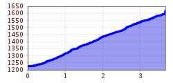
Route length: 3.6 km
Duration: 2:00 h

Pettneu - Nessleralm

Tour information

  • Requirement: easy
  • Length: 3.6 km
  • Duration: 2:00 h
  • Elevation uphill:390 hm
  • Elevation downhill:0 hm
Highest point1,600 m

Starting point

Pettneu am Arlberg

Finishing point

Nessleralm

Features

  • Suitable for families

Best time of year

  • January
  • February
  • March
  • April
  • May
  • June
  • July
  • August
  • September
  • October
  • November
  • December

Trail condition

Wald- und Panoramawanderung

Equipment

Good walking boots, poles and drinks/snacks, rain jacket, sun protection
Source: TVB St Anton am Arlberg

Description

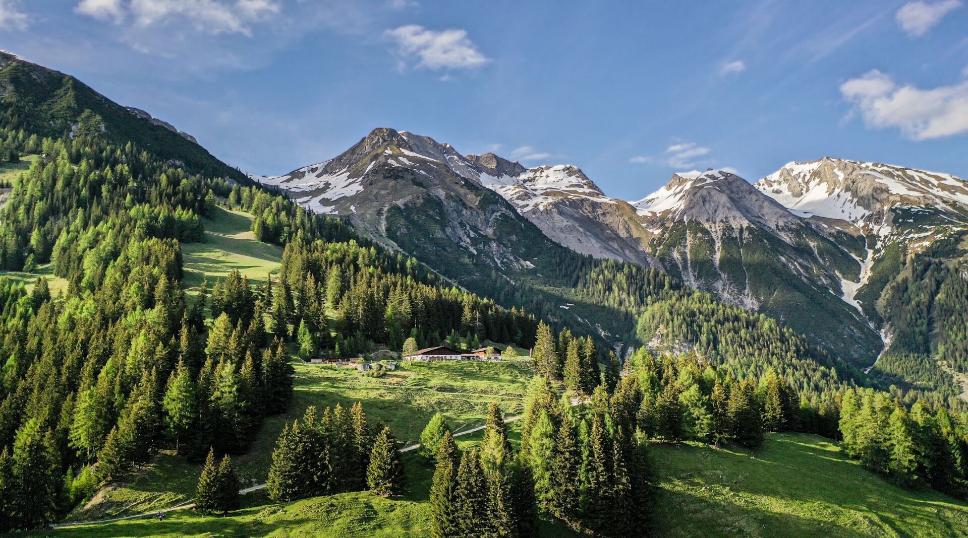
From the information office, head east, following the signs for Nessleralm. The trail begins on asphalt and then heads along a forest road to the chalet. From here, the peaks of the Verwall Alps lie to the south and the middle Stanzer Valley with the villages of Schnann and Flirsch (and the Eisenspitze peak in the background) to the east.
Take the same path back to the starting point (approx. 1:30 hrs).

Nearby huts and mountain restaurants

  • Nessler Alm - 1.600m

    Opening hours:Open today
    Place:Pettneu am Arlberg
    :Alpine pasture / hut / mountain restaurant

Weather

Today

light rain showers
18°C/9°C
55%3.3l5 km/h

Wed

mainly clear
20°C/7°C
5%0l5 km/h

Thu

light rain showers
19°C/10°C
50%1.4l5 km/h
Go to weather forecast

More tours in the surrounding area

Newsletter

The mountain is calling? So does our newsletter!

In our monthly newsletter we reveal the best holiday tips for Tyrol.