

Opening hours:open
Place:Serfaus
:Alpine pasture / hut / mountain restaurant
A scenic summit hike to the 2,770 m high Pezid with impressive panoramic views across the alpine landscape.
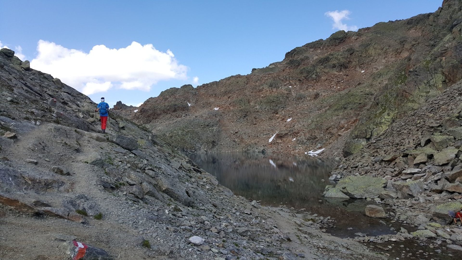
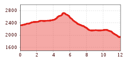
From the Lazidbahn top station (S301) on wide vehicle track or via the Böderköpfe to the Scheid (S217), at the signpost (S219) turn onto trail no. 26 to the crossing to the Pezid (S224). Ascent over trail no. 30 to the Gadratschjoch (S227). Continue on the vehicle track and hike the last meters along the ridge to the summit. Descent to the cable car station and over the narrow, steep ridge to the Pezidsattel (S292). Continue over the Vordere Valgeier no. 31a to the Lader Moos (S289). From there onto trail no. 31b to the Böderhütte (S286) and on trail no. 30 to the Lazid Kreuzchen (S280). On wide trail back to the Komperdell (Kölner Haus).
Take the bus to Serfaus. From there, take the Lazidbahn to the mountain station, the starting point of the tour.
Parking is available at the car park at the entrance to Serfaus. From there, you can take the underground railway to the village centre or the starting point of the tour.


