.jpg")
Difficulty:
easy
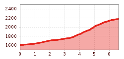
Length:
10.3 km
Duration:
4:00 h
Elevation uphill:
507 m
Platzer Alm
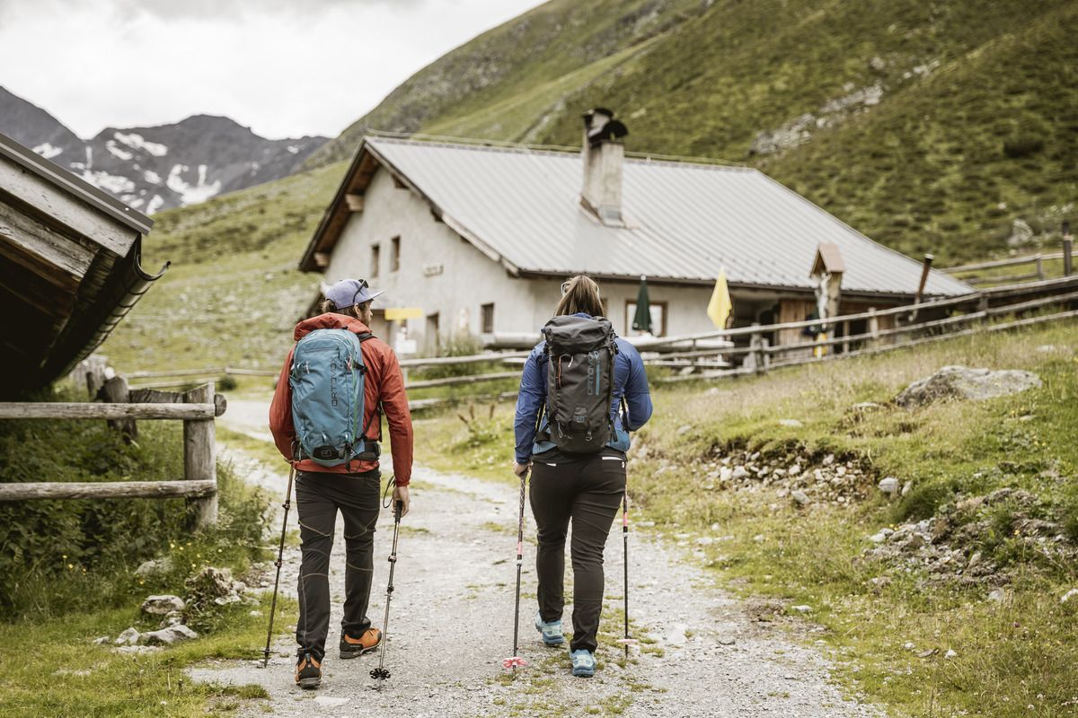
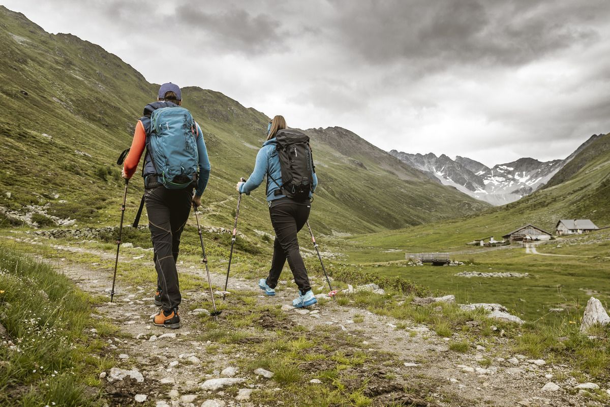
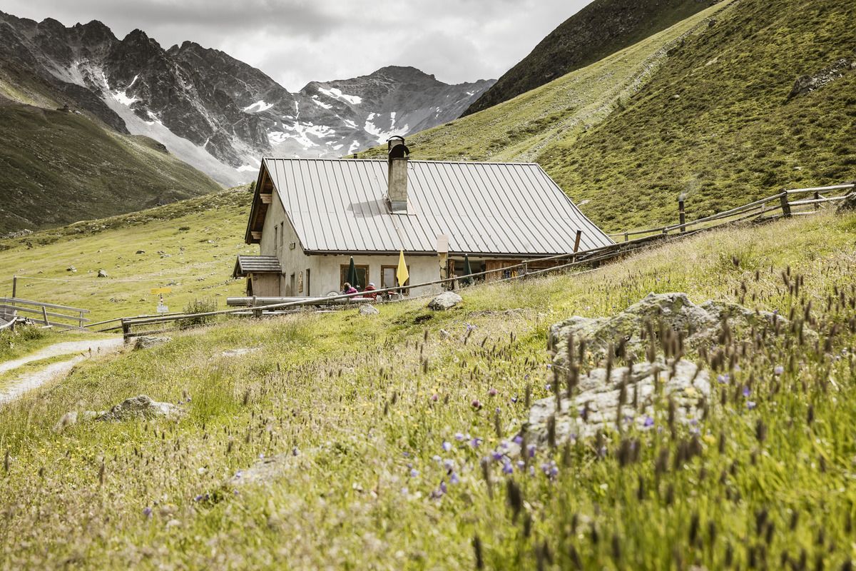
Drive from Pfunds to Greit up to the Tscheylücke. From there the path leads through the beautiful high valley past the Maria Schnee chapel to a fork in the road. Here the path branches off to the right towards Platzertal. Follow the signposting always towards Platzer Alm. Pass the dilapidated buildings of the ore and silver processing and continue to the alpine pasture. The Platzeralm is the highest altitude where milk, butter and cheese are processed.
Tip: Every Thursday a hiking bus drives to the Tschey
.jpg")

.jpg")

.jpg")
.jpg")
.jpg")

