Arrival by public transport
By train to Steinach am Brenner, from there take bus line 4144 to Vals-Joggeler. Information on the timetable at www.vvt.at
Beautiful, little used tour through rustic terrain from the rear Valsertal valley to Venn.
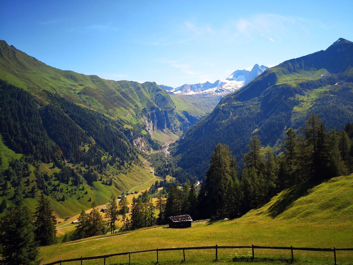
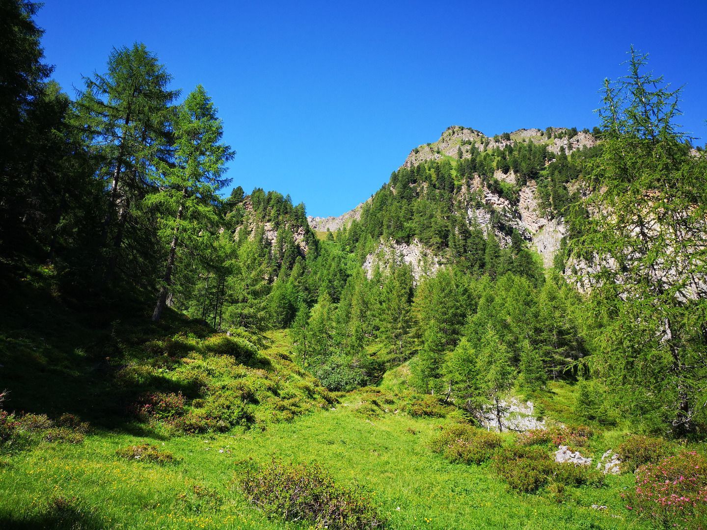
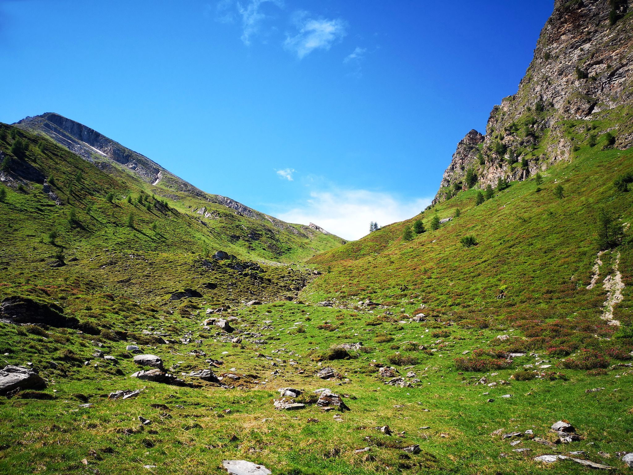
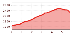
From the "Eben" at the end of the Valsertal valley, you first walk across well-tended pastures to the remote, unique Bloaderalm with its old caserns. Following the course of the valley and passing a small waterfall, you finally reach a somewhat wider basin, the Hochleger of the alp. Immediately in front of the hiker rises the somewhat forbidding block of the Saxalmwand, to the right below it lies the saddle of the Niedervennjöchl, which you also reach after a few more hairpin bends. If you still want to go up to the summit, you can expect 400 quite steep metres of altitude - but you will be rewarded with a magnificent view over the rear Valser and Venn valleys. From the Niedervennjöchl, the somewhat arduous descent to the end of the Venn valley follows. Once at the bottom of the valley, you take a forest path out to the old Venner farms and the associated snack station, a worthwhile place to stop for refreshments. The last few metres are along the access road to the Brennersee lake.
ROUTE DESCRIPTION
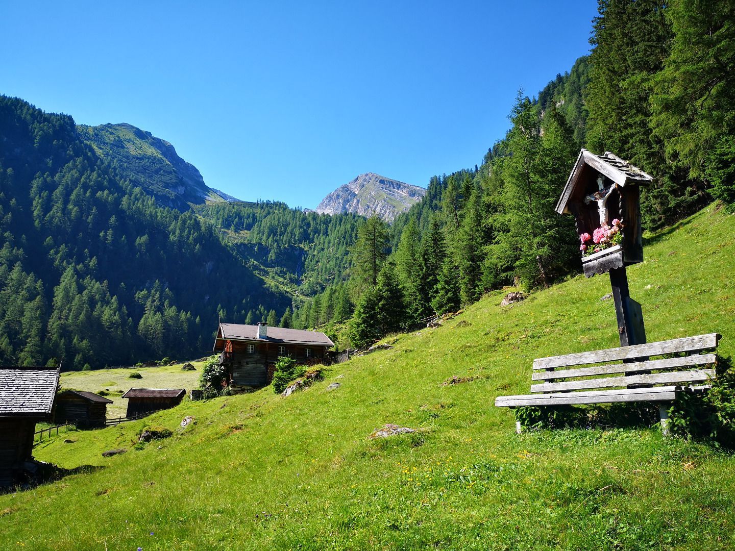
From the parking area in Eben you return to the last 3 farms in the valley. Here, near a chapel, a forest path begins that leads across the stream to the right side of the valley. Immediately after the bridge, trail no. 75 branches off and leads in a south-westerly direction up to the Ploaderalm. Now following the course of the valley and past the Kasern, the trail winds through a sparse larch forest over a steep step up to the Niedervennjöchl, the lowest crossing into the Venntal. For those who still want to go up to the Saxalmwand, turn left here and follow the quite steep trail with the No. 75A for the last 400 metres in altitude to the summit. The descent into the Venntal valley requires a little patience. Once you have reached the valley floor, however, a forest path leads out of the valley to the Venner Höfe farms and on to the Brennersee lake, the end point of the tour.
TIP OF THE AUTHOR
Many untouched places along the trail invite you to linger and enjoy - accordingly, you should take enough time to enjoy the magnificent panorama and marvel at the vegetative diversity.
By train to Steinach am Brenner, from there take bus line 4144 to Vals-Joggeler. Information on the timetable at www.vvt.at


.jpg")
")


 (1).jpg")


.JPG")

