
Place:Reith im Alpbachtal
:Restaurant, café
Beautiful circular hike through the Juppi Magic Forest with a summit experience. Due to the short ascent to the summit, the hike is also suitable for younger children.


On this family-friendly route we recommend sturdy footwear, snacks, and drinks.
sturdy shoes weather clothing
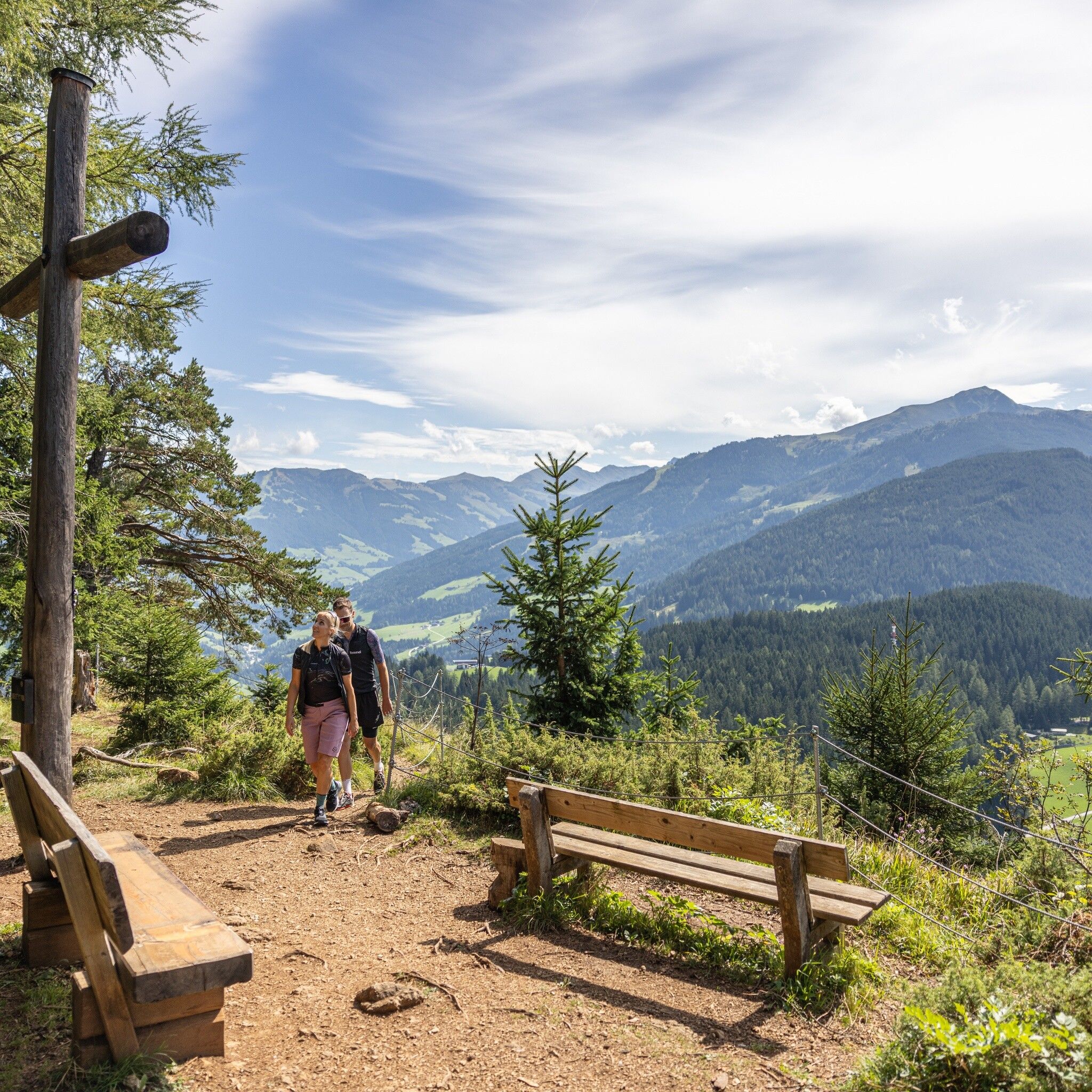
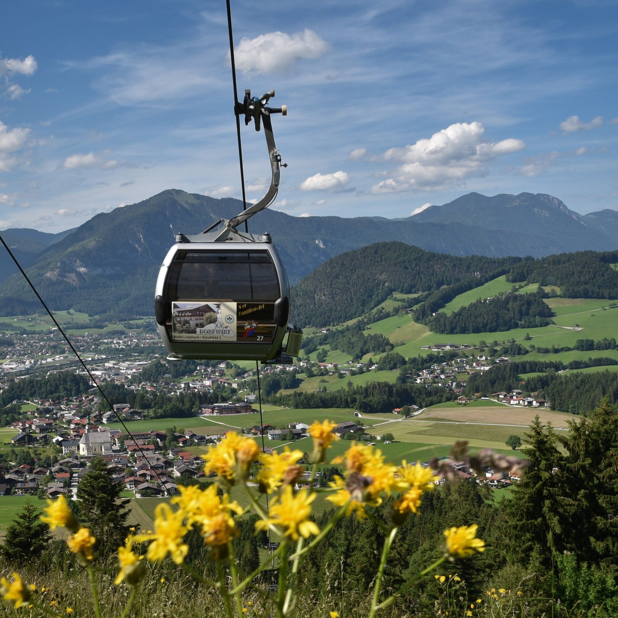
This family-friendly hike starts in the flower village of Reith im Alpbachtal. Take the Reitherkogel cable car comfortably to the mountain station, where your summit adventure begins. Follow the signs towards Juppi’s Enchanted Forest and continue in the direction of Reither Kogel. At the Hinterkogel Chapel, the trail leads uphill to the summit of Reither Kogel, where you are rewarded with breathtaking views.
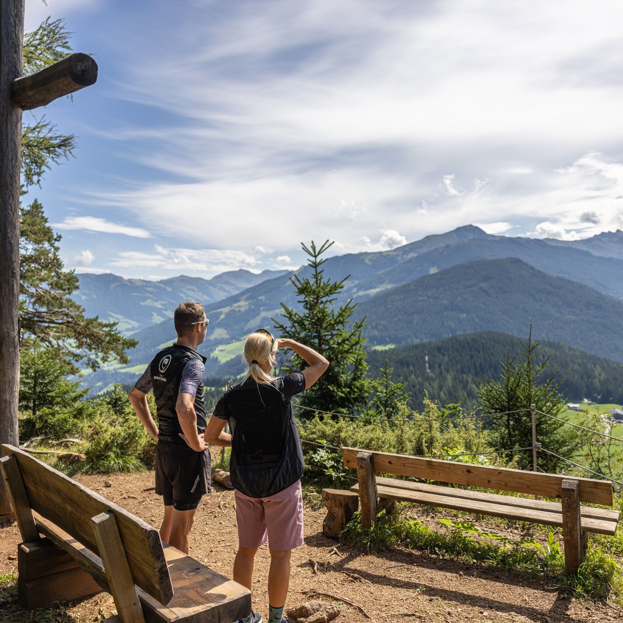
Located at the entrance to the Zillertal Valley, Reither Kogel boasts an exceptional panorama despite its modest elevation. From the summit, enjoy sweeping views of the Kitzbühel Alps, the Rofan Mountains, the Inn Valley and the surrounding valleys. Thanks to its scenic location, Reither Kogel is a favourite destination for families and leisure hikers alike.
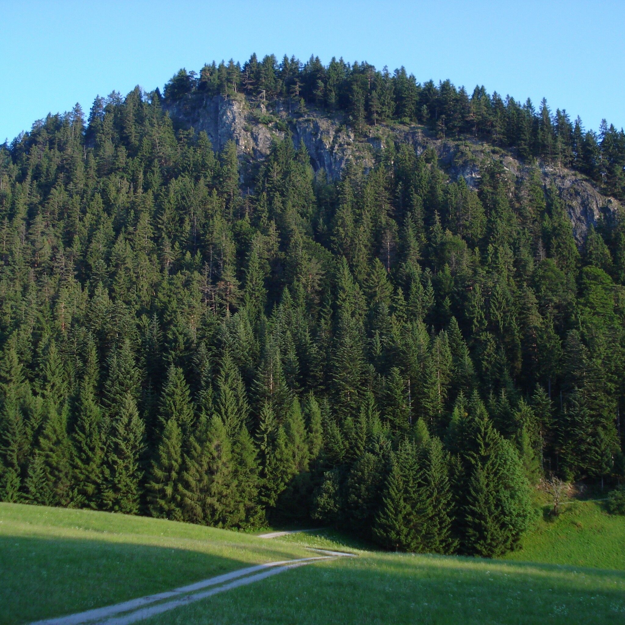
Take a moment to soak in the peaceful mountain atmosphere and the magnificent views before beginning your return journey. The trail continues along a path through shady woodland and past mountain pines before rejoining the Juppi’s Enchanted Forest circular trail, which leads back to the mountain station.
This varied route combines beautiful scenery with easy walking and makes for a memorable mountain experience, especially for families.
Valley station Reitherkogel cable car


