
Mountain hikes Römerweg

Serfaus / Samnaun Group
Difficulty ratings: medium
Route length: 16.1 km
Duration: 4:30 h

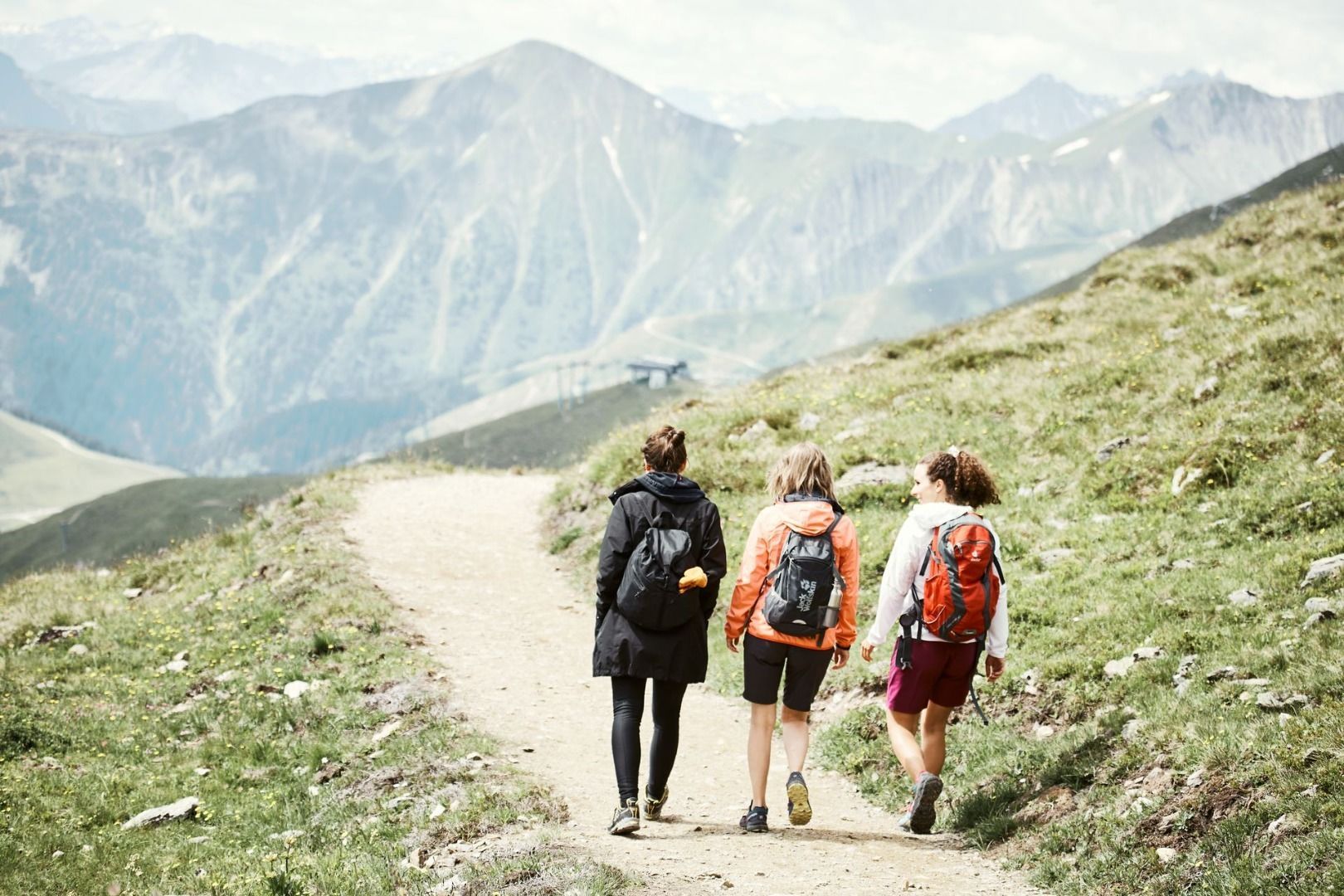
Follow in the footsteps of the Romans through varied landscapes along the Inn – a scenic circular hike with a touch of history.
Tour information

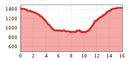
  • Requirement: medium
  • Length: 16.1 km
  • Duration: 4:30 h
  • Elevation uphill:662 hm
  • Elevation downhill:656 hm
Highest point1,433 m

Starting point

St. Zeno bridge

Finishing point

St. Zeno bridge
  • Fitness level 3 / 6

Features

  • Circular route

Best time of year

  • January
  • February
  • March
  • April
  • May
  • June
  • July
  • August
  • September
  • October
  • November
  • December
Source: Serfaus-Fiss-Ladis

Description

From Serfaus, cross the Zeno Bridge and descend past the Lärchenhof (S088) to the trail junction (S162). Pass by the chapel and follow trail no. 5 towards St. Georgen until you reach the turnoff for Rieserweg (S170). From there, continue down into the valley to the Stadlwies junction (S171) and follow the wide forest path no. 15 to Tschupbach (S177). Follow the signs for the "Tösens Römerweg" until you reach the signpost (S178). The trail remains on the left bank of the Inn River, passing through the Untertösens district, which politically belongs to the municipality of Serfaus, before continuing through meadows and pastures. Further on, a rock face along the Inn must be bypassed. Although the path is narrow, it is well secured. The ascent back to Serfaus begins at Frauns. In the Inn Valley, the Römerweg is part of the Via Claudia and is additionally marked with a “B”.

Getting here

  • Arrival by public transport

    Travel by train to Landeck-Zams railway station. From there, change to bus line 220 towards Serfaus-Fiss-Ladis.

  • Parking

    By car, take the A12 to the Landeck exit, then follow the B171 and L19 towards Serfaus. Serfaus has traffic-calmed streets. Day visitors should park their cars in the car park at the entrance to the village and then take the underground to the starting point of the tour. Guests staying in Serfaus can drive right up to their accommodation.


    Parking is available at the car park at the entrance to Serfaus. From there, you can take the underground railway to the village centre or the starting point of the tour.

Weather

Today

clear sky
23°C/6°C
0%0l5 km/h

Mon

clear sky
24°C/9°C
5%0l5 km/h

Tue

mainly clear
24°C/9°C
0%0l5 km/h
Go to weather forecast

More tours in the surrounding area

  • Wild Animals Trail

    Opening hours:open
    Difficulty:easy
    Length:1.5 kmDuration:0:31 hElevation uphill:1 m
  • Panorama - Genussweg

    Opening hours:open
    Difficulty:easy
    Length:1.1 kmDuration:1:15 hElevation uphill:282 m
  • Marmot Trail

    Opening hours:open
    Difficulty:easy
    Length:573 mDuration:0:20 hElevation uphill:12 m
  • Fiss to the Oberen Sattelkopf

    Opening hours:open
    Difficulty:medium
    Length:5.6 kmDuration:3:00 hElevation uphill:1,057 m
  • Forscherpfad

    Opening hours:open
    Difficulty:easy
    Length:3.4 kmDuration:1:30 hElevation uphill:219 m
  • Oberer Spinnsee

    Opening hours:open
    Difficulty:medium
    Length:11.2 kmDuration:5:00 hElevation uphill:427 m
  • Murmeltiersteig (Marmot alpine trail)

    Opening hours:open
    Difficulty:medium
    Length:6.9 kmDuration:3:00 hElevation uphill:302 m
  • Six Senses trail

    Opening hours:open
    Difficulty:easy
    Length:6.5 kmDuration:4:00 hElevation uphill:99 m
Newsletter

The mountain is calling? So does our newsletter!

In our monthly newsletter we reveal the best holiday tips for Tyrol.
