Mountain hikes Run at the creek Gerlos

Gerlos, Zillertal / Kitzbühel Alps
Route length: 7.4 km
Duration: 1:00 h

Profile of the route: easy running and Nordic walking route Road surface: gravel, forest and meadow paths
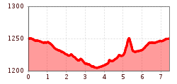
Tour information

  • Length: 7.4 km
  • Duration: 1:00 h
  • Elevation uphill:62 hm
  • Elevation downhill:62 hm
Highest point1,260 m

Starting point

village center - playground "Bärlihöhe"
Source: Zillertal Tourismus GmbH

Description

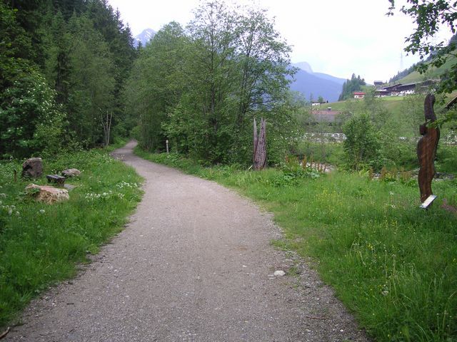
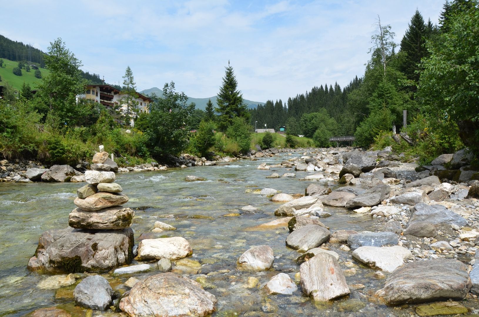
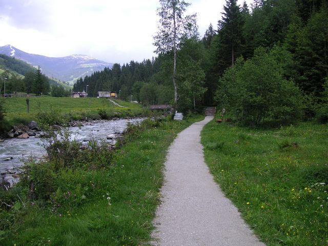
Route: From the playground „Bärlihöhle“ to the west along the „Gerlos“ creek to the bridge before „Gmünd“. Switch to the other side of the creek and further on eastwards to the tennis center. Switch again to the other side of the creek and further on to the „Forstmeile“. Integrate the „Forstmeile“ into the route and then along the creek back to the start.

Weather

Today

mainly clear
25°C/13°C
50%3.3l5 km/h

Fri

light rain showers
23°C/13°C
75%13.1l5 km/h

Sat

light rain showers
18°C/11°C
70%10l5 km/h
Go to weather forecast

More tours in the surrounding area

Newsletter

The mountain is calling? So does our newsletter!

In our monthly newsletter we reveal the best holiday tips for Tyrol.