
Place:
Gries am Brenner
:
Alpine pasture / hut / mountain restaurant
The route is 8.5 km long and only suitable for experienced snowshoe hikers.
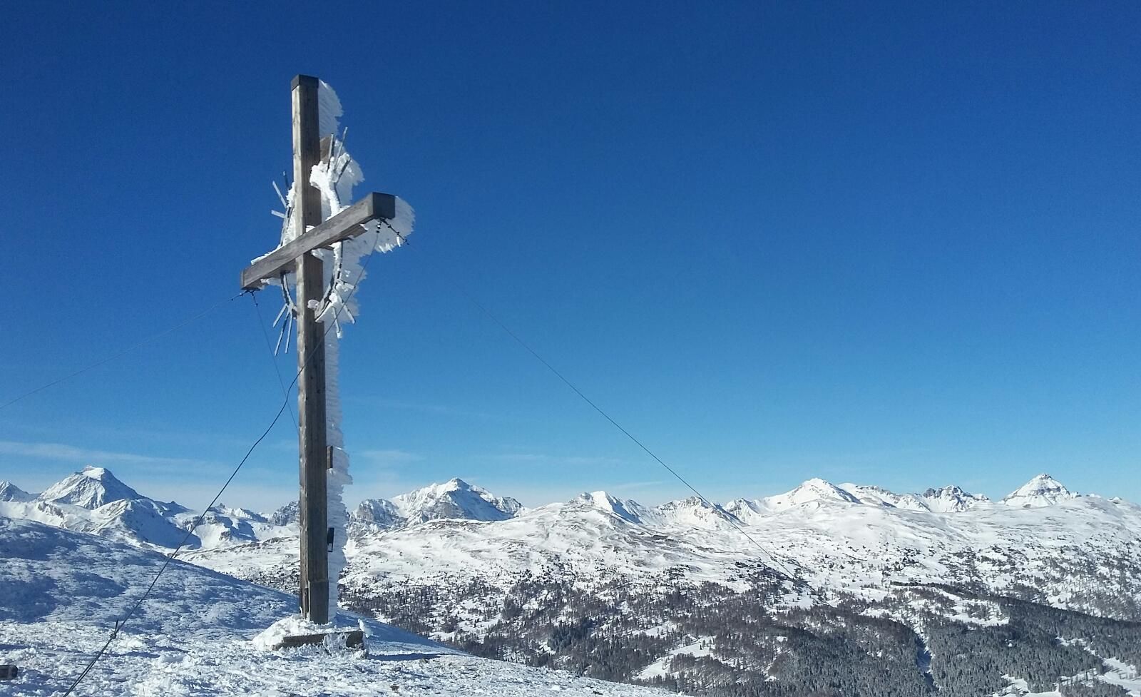
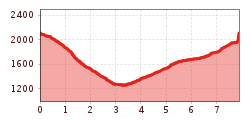
From the parking spaces, walk past the old valley station across the open meadows near Neder and left into the narrow forest aisle above the farmhouse to the forest path (toboggan run). Now continue on this path until you reach the fork in the forest path at the high point. From here, walk up through the short clearing. Now climb southwestwards through the forest on the northern ridge of the Niedererberg until you reach another forest path, which you meet at about 1700m. Follow the path for a short distance, then climb directly along the ridge in the forest terrain. From the forest boundary at about 1900m above sea level, you walk across the free slopes and hollows directly to the summit cross in the boundary terrain.
Descent: From the summit, head north-east, here eastwards into the forest (Tiroler Höhenweg) to the Sattelbergalm.
Or simply take the toboggan run to Vinaders.


.jpg")


")


 (1).jpg")
.JPG")


