

Difficulty:easy
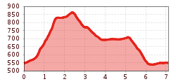
Length:2.0 kmDuration:0:45 hElevation uphill:70 m
Schlitters - Fügenberg - Schlitters (Trail Nr. 13)
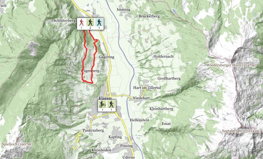
Set off at the Municipal office and climb uphill through Schlitters until you reach the end of the village. Turn left at the junction and head towards Fügenberg. Walk along the hiking trail through the forest until it opens up into the road. Walk along the road for a short distance, then turn right and head uphill at the junction until you reach
Brandegg (Alpine café). From there, the trail leads downhill through meadows until it reaches Gasthof Schoner – turn left at the junction after passing Gasthof Schoner – the trail leads along the asphalt road to the last farmhouses on the Fügenberg. Then the hiking trail heads downhill through the woods and back toward Schlitters. The final stretch at the end of the trail goes along the edge of the woods until it reaches Schlitters.
Stop off possibilities: restaurants in Schlitters, Gasthäusl zum Schoner


