
Mountain hikes Schöngampalm via Fisser Almweg

open
Fiss / Samnaun Group
Difficulty ratings: easy
Route length: 11.4 km
Duration: 3:30 h

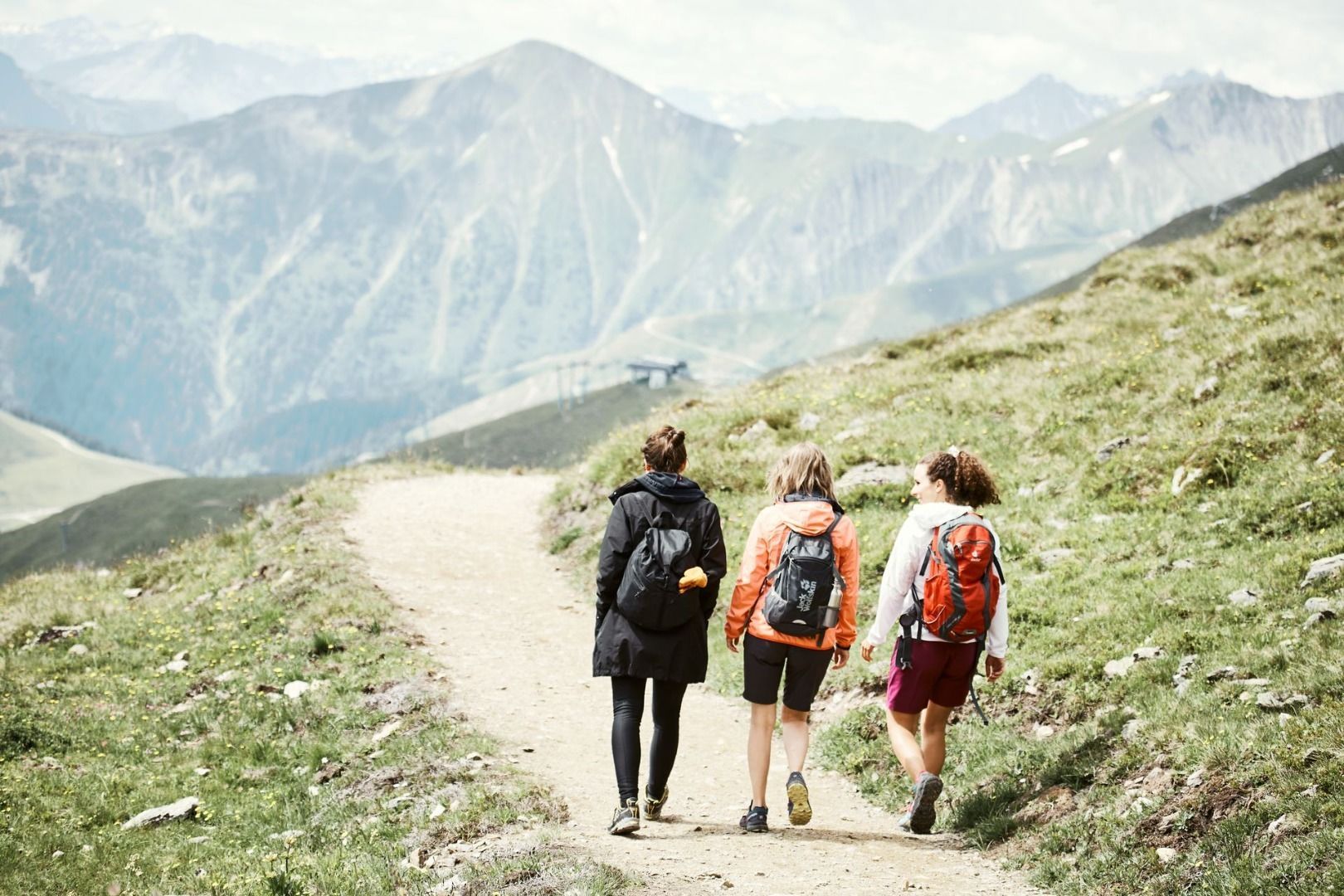
A varied hike to Schöngampalm via the Fisser Almweg. The route leads through the alpine landscape and offers beautiful views of the surrounding mountains.
Tour information

  • Requirement: easy
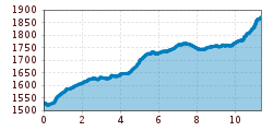
  • Length: 11.4 km
  • Duration: 3:30 h
  • Elevation uphill:645 hm
  • Elevation downhill:305 hm
Highest point1,872 m

Starting point

Sonnenbahn mid station

Finishing point

Schöngampalm
  • Fitness level 2 / 6

Features

  • suitable for pushchairs

Best time of year

  • January
  • February
  • March
  • April
  • May
  • June
  • July
  • August
  • September
  • October
  • November
  • December
Source: Serfaus-Fiss-Ladis

Description

The entire course of this trail from Fiss is described in detail under trail no. 4 in the Fiss section of this guide. From Ladis, take the Sonnenbahn (just to the left below the midway station). Just before the Rabuschl (F025, children’s playground with pond and barbecue spot) trail no. 5 comes from Obladis (F023) and crosses trail no. 4. Behind the Rabuschl the Kressbrünnlsteig path no. 36 (F026) and a bit later, forest trail no. 6 from the Schönegg crosses trail no. 4 (F027).

Nearby huts and mountain restaurants

Getting here

  • Arrival by public transport

    Take the bus to Fiss and continue to the cable cars. Take the Sonnenbahn to the intermediate station, the starting point of the tour.

  • Parking

    Parking is available in Fiss. Depending on the starting point of the tour, different car parks are available. The car parks are subject to a fee.

Weather

Today

mainly clear
21°C/8°C
5%0l5 km/h

Mon

mainly clear
17°C/6°C
5%0l5 km/h

Tue

clear sky
15°C/4°C
0%0l5 km/h
Go to weather forecast

More tours in the surrounding area

  • Marmot Trail

    Opening hours:open
    Difficulty:easy
    Length:573 mDuration:0:20 hElevation uphill:12 m
  • Wild Animals Trail

    Opening hours:open
    Difficulty:easy
    Length:1.5 kmDuration:0:31 hElevation uphill:1 m
  • Panorama - Genussweg

    Opening hours:open
    Difficulty:easy
    Length:1.1 kmDuration:1:15 hElevation uphill:282 m
  • Oberer Spinnsee

    Opening hours:open
    Difficulty:medium
    Length:11.2 kmDuration:5:00 hElevation uphill:427 m
  • Fiss to the Oberen Sattelkopf

    Opening hours:open
    Difficulty:medium
    Length:5.6 kmDuration:3:00 hElevation uphill:1,057 m
  • Forscherpfad

    Opening hours:open
    Difficulty:easy
    Length:3.4 kmDuration:1:30 hElevation uphill:219 m
  • Murmeltiersteig (Marmot alpine trail)

    Opening hours:open
    Difficulty:medium
    Length:6.9 kmDuration:3:00 hElevation uphill:302 m
  • Six Senses trail

    Opening hours:open
    Difficulty:easy
    Length:6.5 kmDuration:4:00 hElevation uphill:99 m
Newsletter

The mountain is calling? So does our newsletter!

In our monthly newsletter we reveal the best holiday tips for Tyrol.
