
Difficulty:
difficult
Length:
9.7 km
Duration:
6:30 h
Elevation uphill:
1,026 m
Washed with all waters
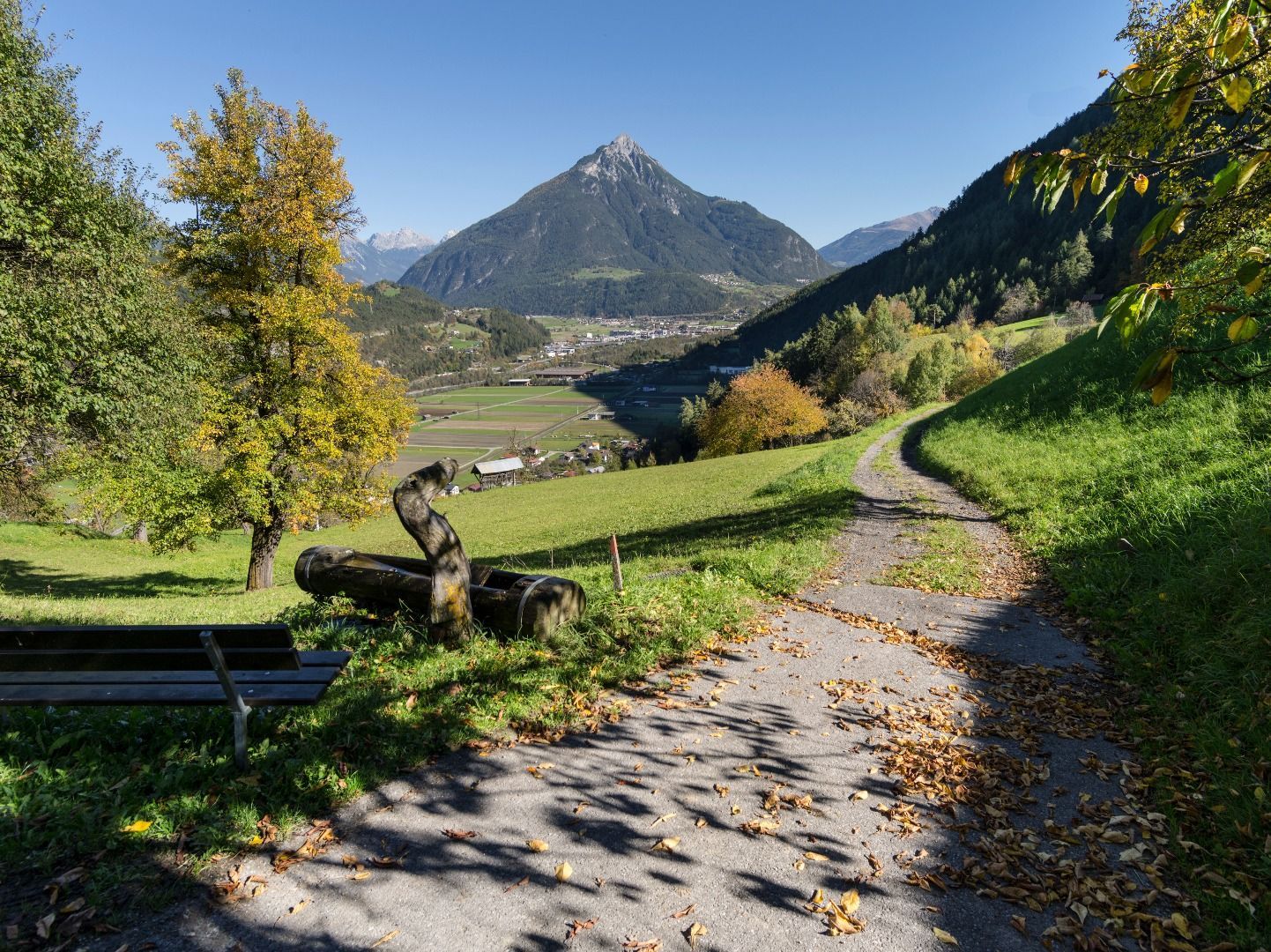
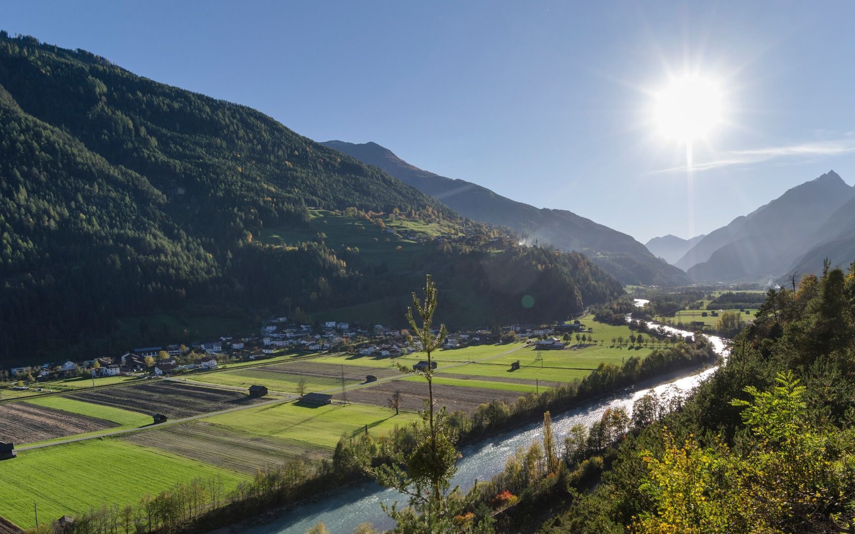
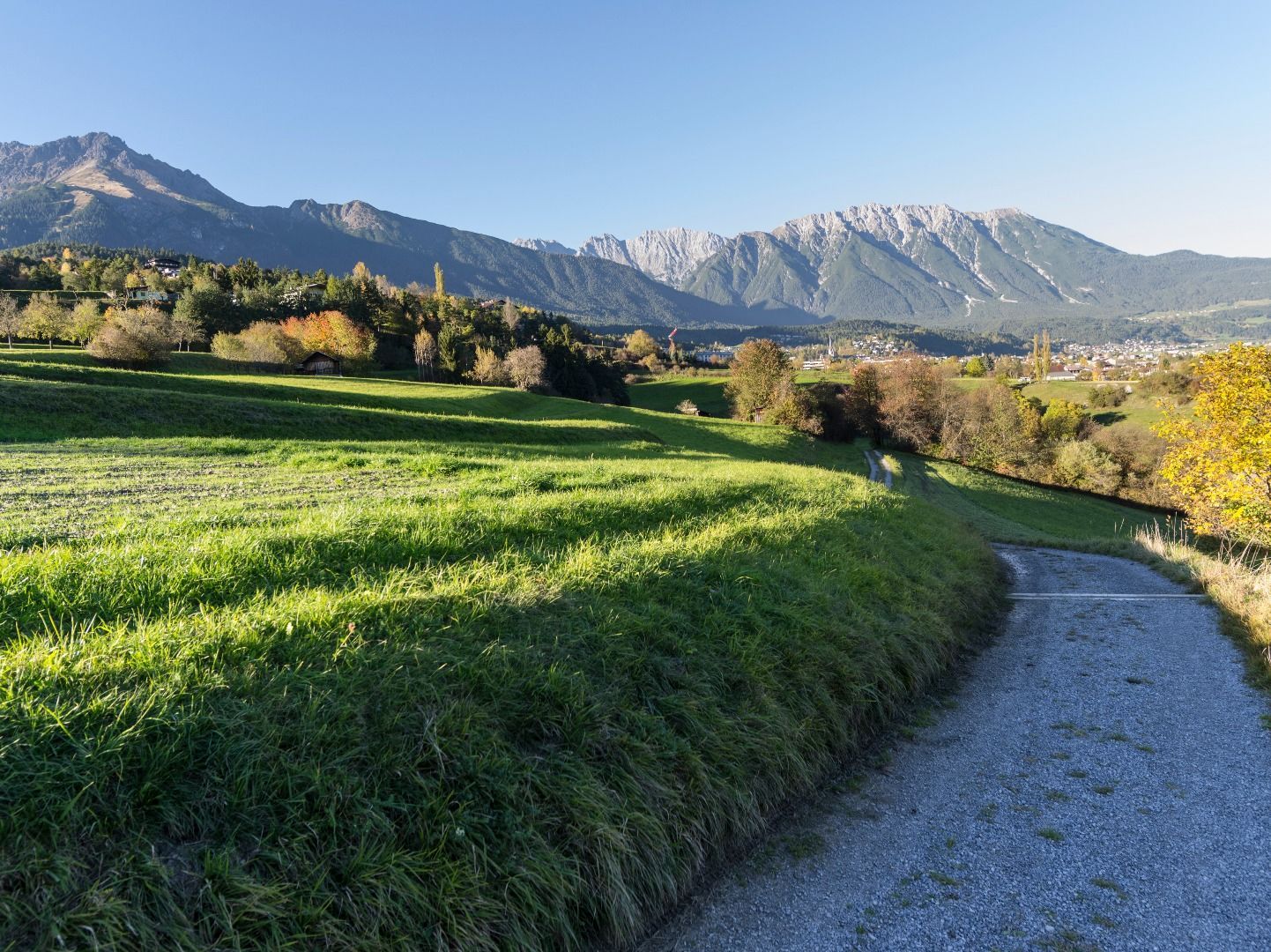
From Imsterberg, follow the road back a short distance to Endsfeld. There begins a meadow and forest path that leads directly to the Imsterberg viewing platform. Stop there and enjoy the sensational view of the Gurgltal valley. Now descend via serpentines into Imsterau until you reach the train station. At the first bend, turn left onto the avenue and follow the path directly along the Inn River to the bridge. In the valley basin, cross the bridge and follow the course of the road in the direction of Gschnallenhöfe until you reach the main road. From there, a forest path leads to the Imst district of Gunglgrün and the Maria Schnee chapel. It is worth taking a look at the chapel, which is very popular with locals for baptisms and small weddings. Here you follow the asphalt road past the forest playground to Hoch-Imst. From there it's through the wildly romantic Rosengarten Gorge to the town center of Imst.


