Arrival by public transport
Take the regional bus 4145 in the direction of "Obernberg" from Steinach a. Br. station to the stop "Volksschule Obernberg". You can find exact timetables on www.vvt.at. Free use of the bus with the Wipptal guest card!
Wonderfully easy hike from the centre of Obernberg to the end of the valley - always along the small stream.
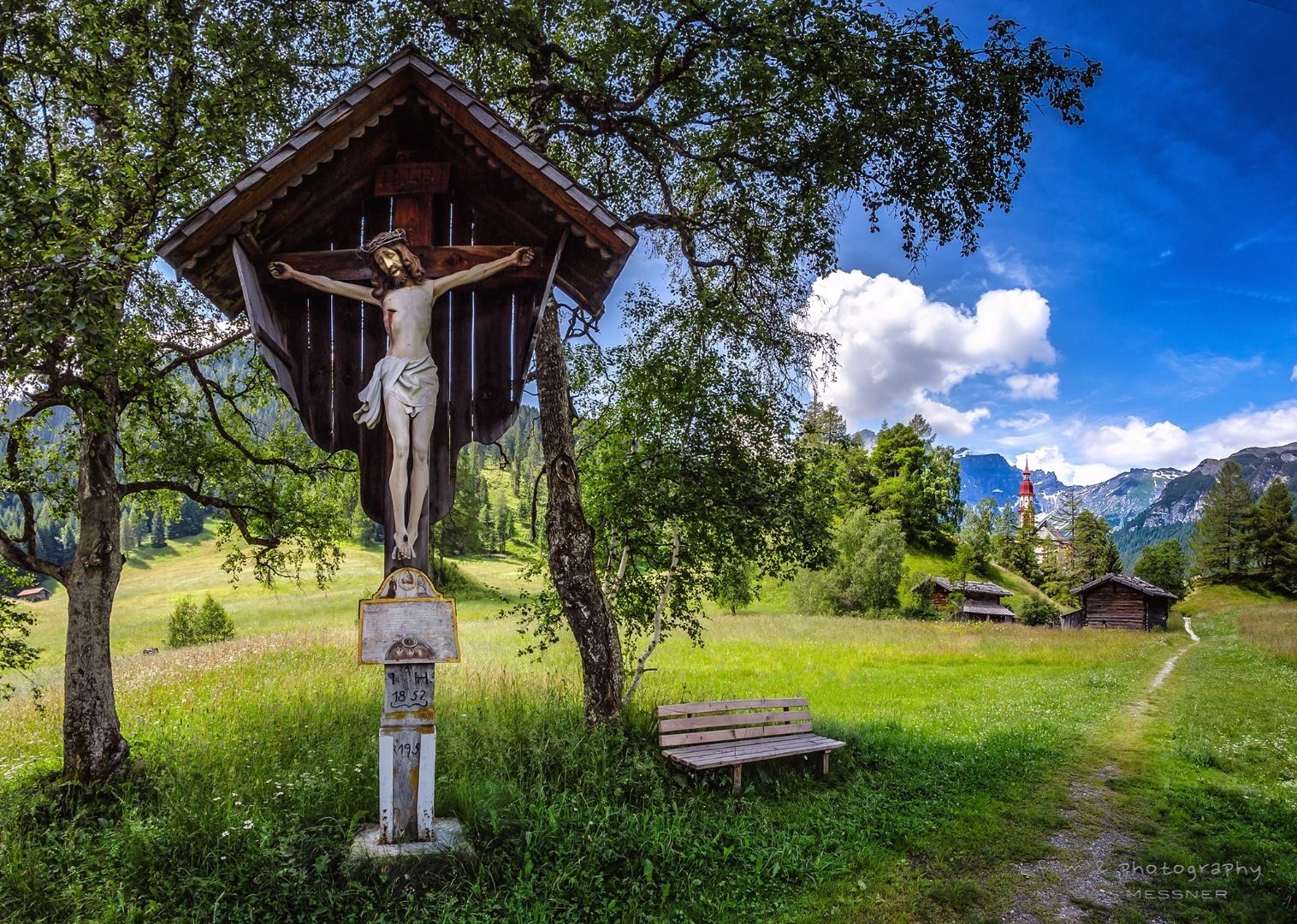
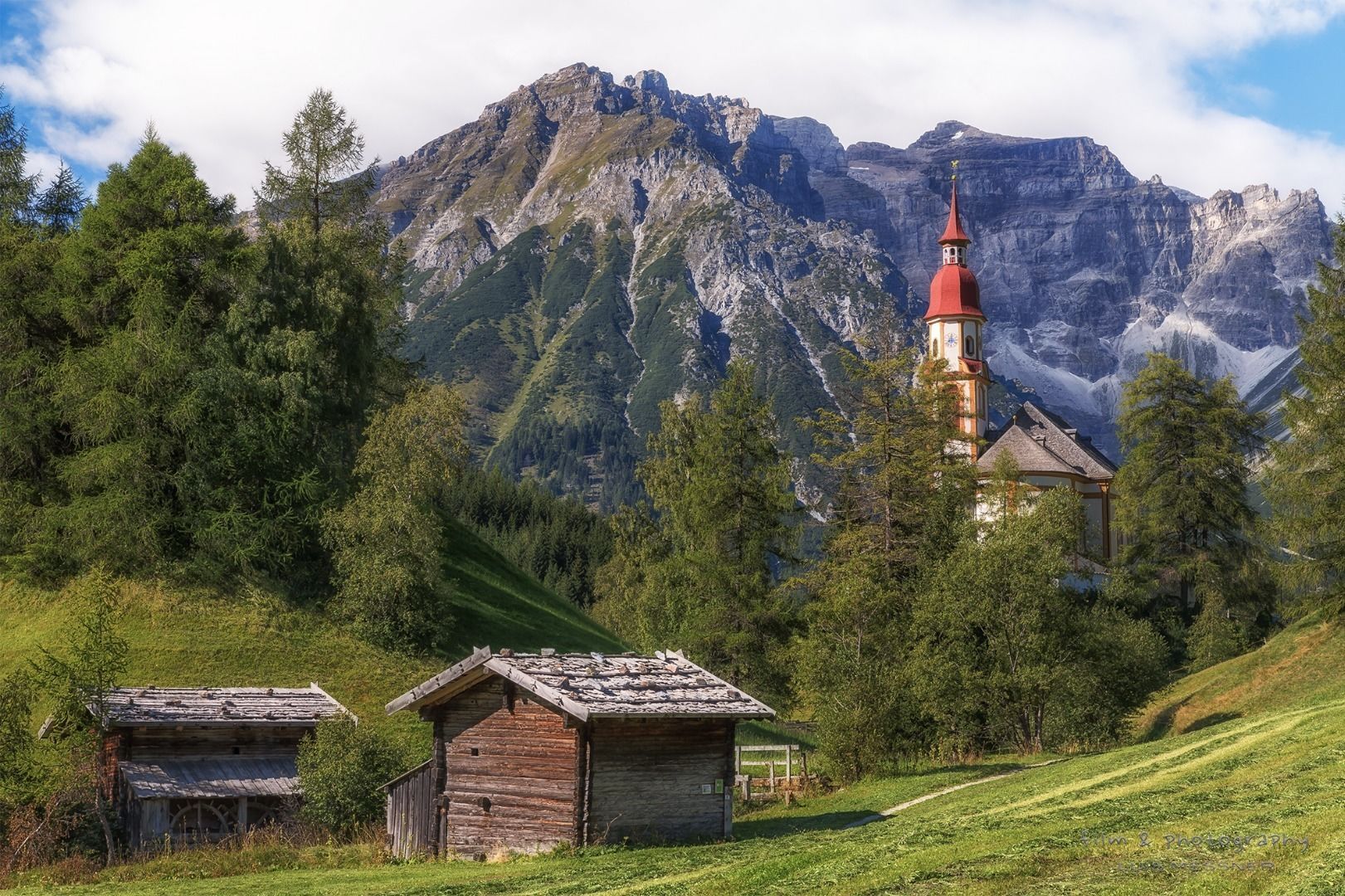
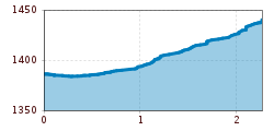
From the elementary school you walk along a small path towards the church. There you branch off to the south and go down to the stream and then along this stream until you reach the Eben settlement. There you cross the new bridge to the other side of the brook and then follow the road into the valley. After the last house (guesthouse Geir) a hiking trail across the alpine pasture area starts. The path finally leads through sparse forest and joins the forest path that leads to the Obernberger See. From there it is only a few steps to the car park at the end of the valley and the bus stop. Take the bus back or walk along the road back to the school.
Take the regional bus 4145 in the direction of "Obernberg" from Steinach a. Br. station to the stop "Volksschule Obernberg". You can find exact timetables on www.vvt.at. Free use of the bus with the Wipptal guest card!
Car park in front of the church/school in Obernberg


.jpg")
")

 (1).jpg")


.JPG")


