Arrival by public transport
Information about the current bus times can be found here:
Startseite • Verkehrsverbund Tirol (vvt.at)
The Sinnesjoch is a magnificent panoramic mountain above the Gurgltal valley.
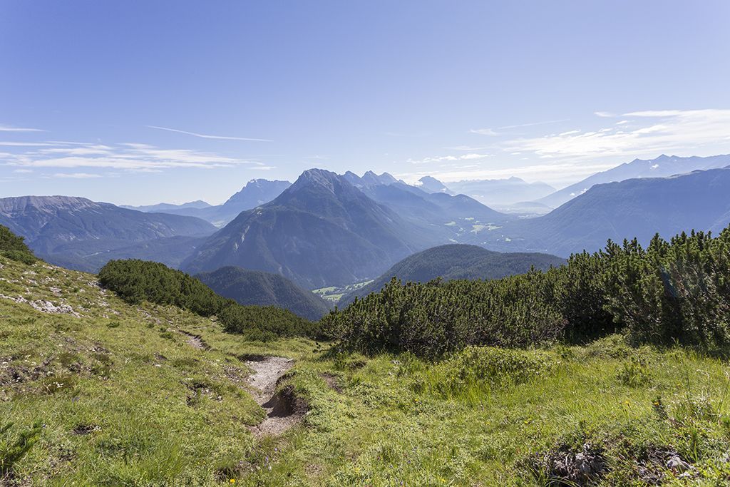
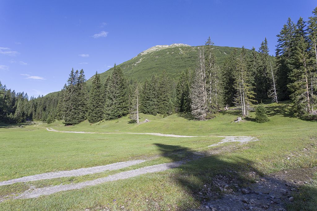
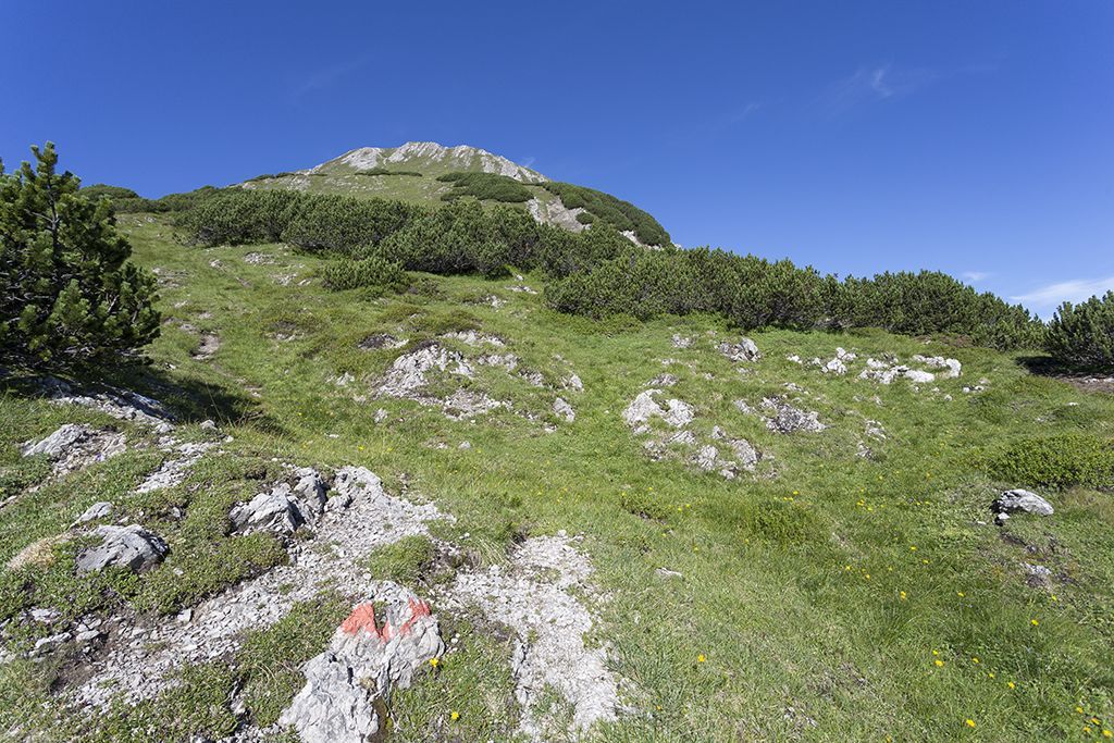
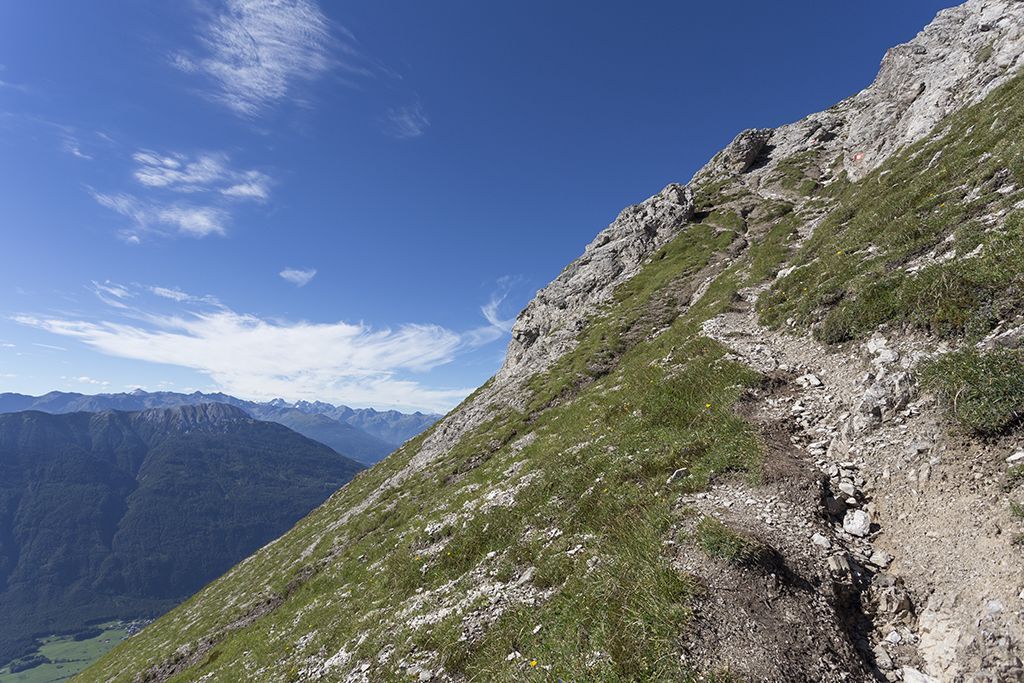
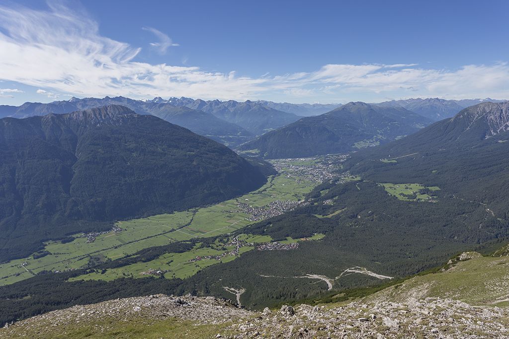
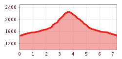
From the Sinnesbrunn parking lot, hike above Obtarrenz on the forest road in the direction of "Sinnesjoch". The trail leads past the Sinnesbrunn pilgrimage church (with benches and fountain) and the mountain guard hut until you reach the Sinnesgatter after about 1.7 km. Now turn left onto the uphill path to the Sinnesjoch. The path leads very steeply, partly through mountain pines, on the eastern ridge up to the Sinnesjoch. From the summit plateau of the Sinnesjoch you have an excellent panoramic view. The way back is on the same path.
Refreshment stops: Kappakreuz
Family-friendly hike
Highlights: Sinnesbrunn pilgrimage church, summit plateau with panoramic views.
Information about the current bus times can be found here:
Startseite • Verkehrsverbund Tirol (vvt.at)
Sinnesbrunn parking lot


.jpg")


.jpg")


")


