Arrival by public transport
Bus: Linie 4000, 4012, 4060 Bus stop: Haltestelle St. Johann in Tirol Steinlechnerplatz
Or you can take the convenient and free Okto hiking bus from Monday to Friday in the summer months.
Train: 201 Giselabahn Bahnhof St. Johann in Tirol
Bus and traintimes:
kitzalps.cc/mobile


 Mirja Geh (26).jpg")
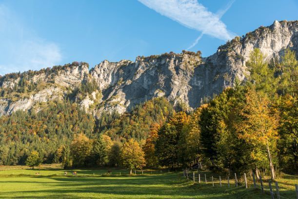
 Sportalpen (21).jpg")


 Erwin Haiden (96).jpg")
