Mountain hikes St. Anton - Konstanzer Hütte

closed
St. Anton am Arlberg / Verwall
Difficulty ratings: medium
Route length: 10.9 km
Duration: 3:30 h

Tour information

  • Requirement: medium
  • Length: 10.9 km
  • Duration: 3:30 h
  • Elevation uphill:427 hm
  • Elevation downhill:0 hm
Highest point1,688 m

Starting point

Arlberg WellCom

Finishing point

Arlberg WellCom

Best time of year

  • January
  • February
  • March
  • April
  • May
  • June
  • July
  • August
  • September
  • October
  • November
  • December

Equipment

Good walking boots, poles and drinks/snacks, rain jacket, sun protection
Source: TVB St Anton am Arlberg

Description

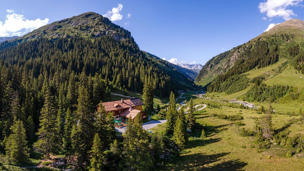
From the starting point at Arlberg WellCom, the trail leads through the Rosannaschlucht gorge, then turn left onto the hiking trail parallel to the road. This leads north past the Wagner Hütte along the Verwallsee to the Salzhütte. (You can also use the Verwall bus up to this point for a fee). Pass the Salzhütte and follow the forest road to the Konstanzer Hütte. Return the same way.

Nearby huts and mountain restaurants

Weather

Today

cloudy
9°C/-1°C
35%0.8l5 km/h

Sat

cloudy
7°C/1°C
25%0l5 km/h

Sun

clear sky
8°C/-1°C
5%0l0 km/h
Go to weather forecast

More tours in the surrounding area

Newsletter

The mountain is calling? So does our newsletter!

In our monthly newsletter we reveal the best holiday tips for Tyrol.