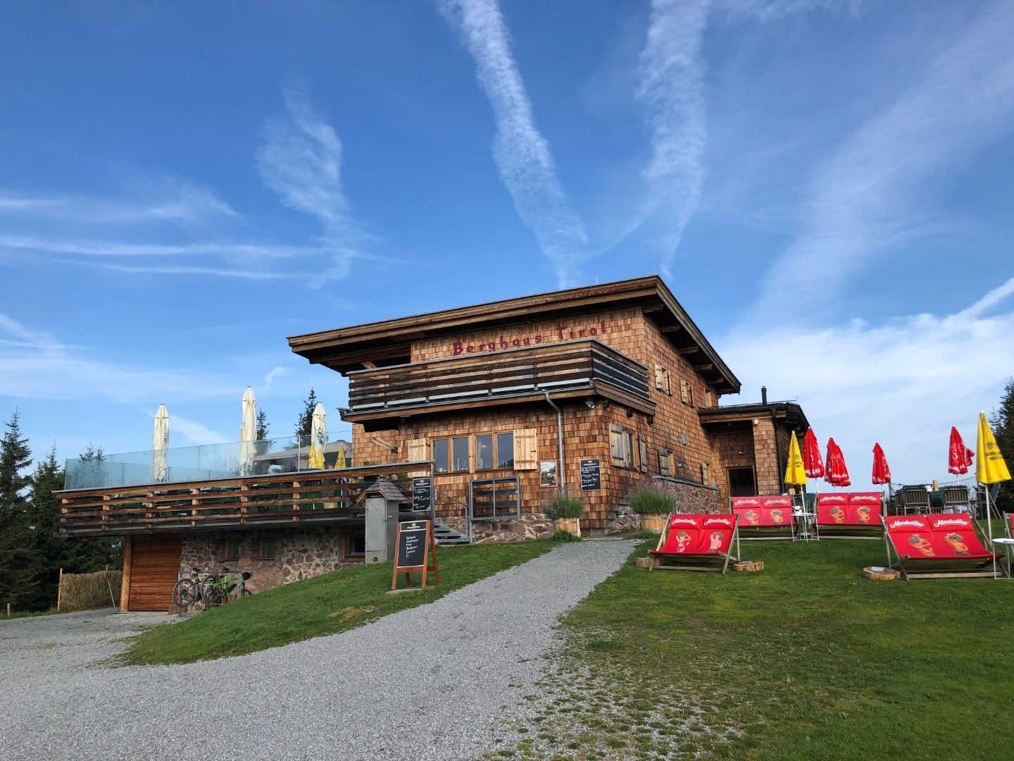
Berghaus Tirol Winter © Berghaus Tirol Berghaus TyrolOpening hours:Open todayPlace: Kitzbühel : Tavern, Alpine pasture / hut / mountain restaurant see restaurant detailssee restaurant details: Berghaus Tyrol
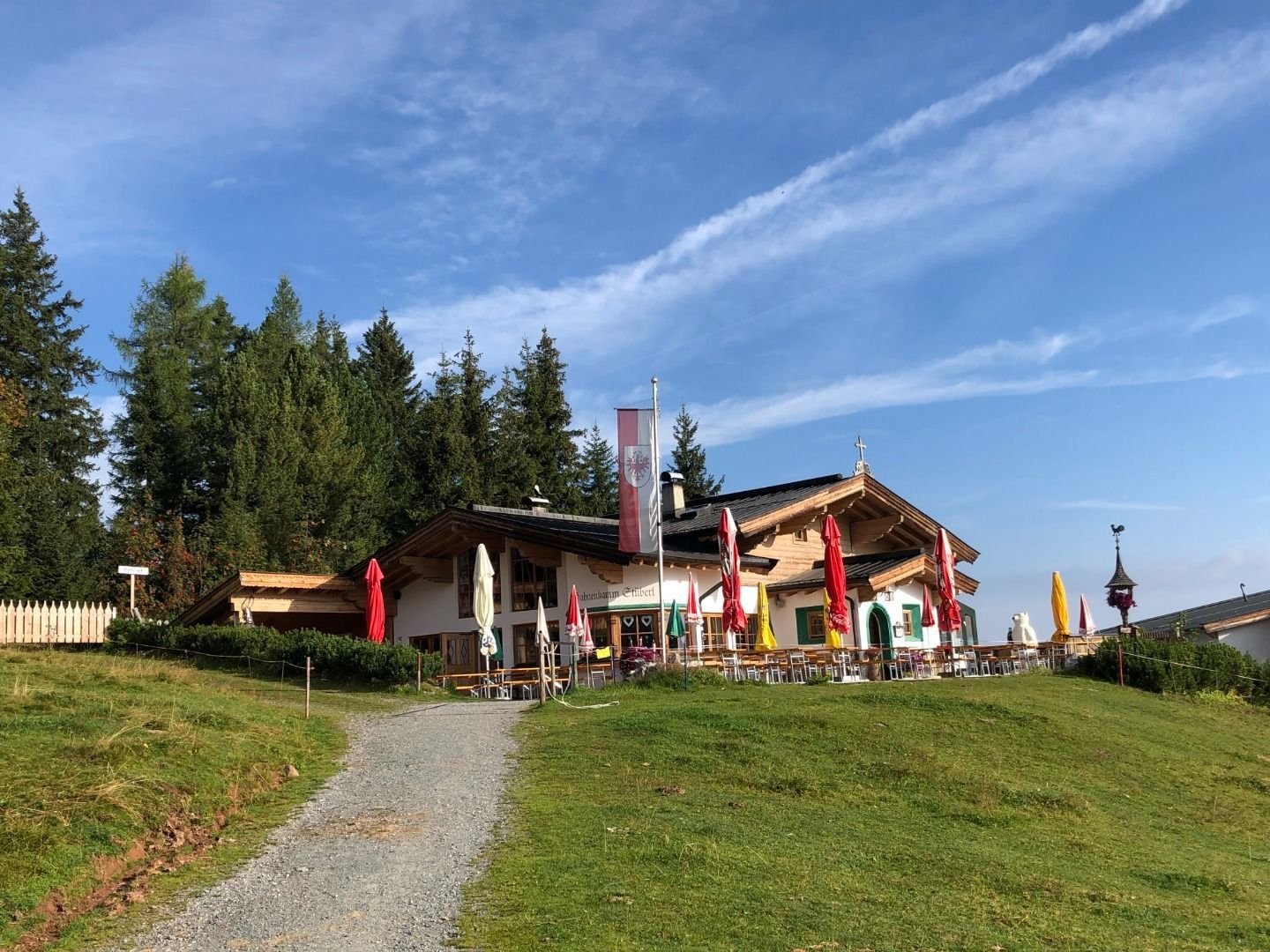
Hahnenkammstüberl Winter © Hahnenkammstüberl HahnenkammstüberlOpening hours:Open todayPlace: Kitzbühel : Tavern, Alpine pasture / hut / mountain restaurant see restaurant detailssee restaurant details: Hahnenkammstüberl
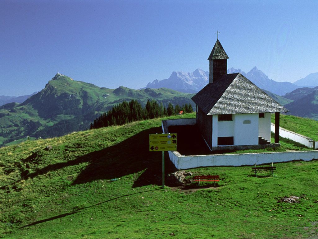
Hochbrunn Winter © Kitzbühel Tourismus HochbrunnOpening hours:Open todayPlace: Kitzbühel : Tavern, Alpine pasture / hut / mountain restaurant see restaurant detailssee restaurant details: Hochbrunn
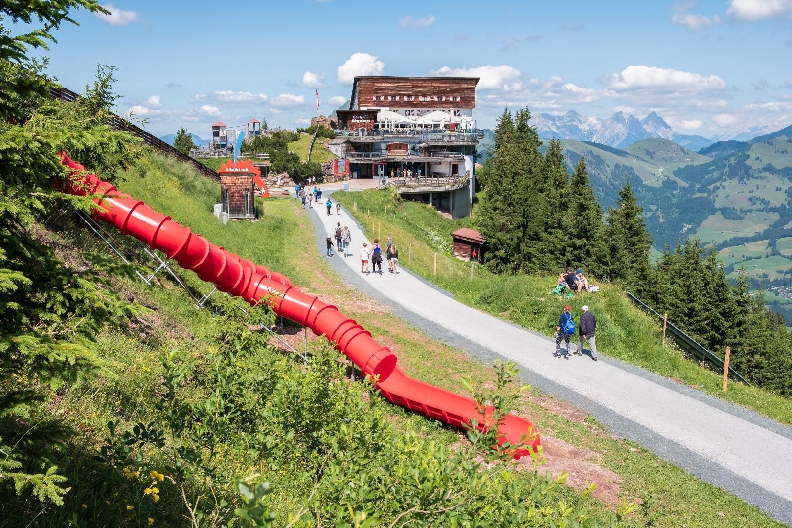
Hochkitzbühel bei Tomschy © Kitzbühel Tourismus Hochkitzbühel by TomschyOpening hours:Open todayPlace: Kitzbühel : Tavern, Alpine pasture / hut / mountain restaurant see restaurant detailssee restaurant details: Hochkitzbühel by Tomschy
Sonnenrast Winter © Sonnenrast SonnenrastOpening hours:Open todayPlace: Kitzbühel : Tavern, Alpine pasture / hut / mountain restaurant see restaurant detailssee restaurant details: Sonnenrast
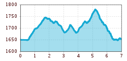
Winter- und Schneeschuhwandern (c) Mirja Geh (26).jpg © Mirja Geh At the foot of Fleischbank and TotenkirchlDifficulty: easy Length: 9.3 km Duration: 3:00 h Elevation uphill: 250 m See trailSee trail: At the foot of Fleischbank and Totenkirchl
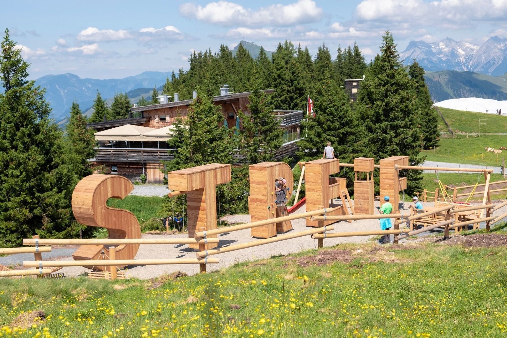
The Zirbenweg trailDifficulty: easy Length: 7.0 km Duration: 2:30 h Elevation uphill: 200 m See trailSee trail: The Zirbenweg trail
MaucheleWA055.jpg © TVB Pitztal/Bernd Ritschl Kaunergrat Circular Route - 7 DaysDifficulty: difficult Length: 66.4 km Duration: 7 days Elevation uphill: 5,496 m See trailSee trail: Kaunergrat Circular Route - 7 Days
Kaunergrathütte © TVB Pitztal/Roman Huber Kaunergrat Circular Route - 3 DaysDifficulty: difficult Length: 22.8 km Duration: 3 days Elevation uphill: 2,650 m See trailSee trail: Kaunergrat Circular Route - 3 Days
Abstieg in Richtung Oberstalleralm © edifilm75 Herz-Ass VillgratentalDifficulty: medium Length: 76.0 km Duration: 34:00 h Elevation uphill: 5,750 m See trailSee trail: Herz-Ass Villgratental
Württemberger Haus 2.220m © Roman Huber Zams - Württemberger HausDifficulty: medium Length: 10.1 km Duration: 11:20 h Elevation uphill: 1,554 m See trailSee trail: Zams - Württemberger Haus
Suspension bridge to Maria Locherboden pilgrimage churchDifficulty: medium Length: 8.5 km Duration: 3:00 h Elevation uphill: 370 m See trailSee trail: Suspension bridge to Maria Locherboden pilgrimage church
wanderung-grosser-zunig-wokenmeer-c-bernhard-assmair.jpg © Bernhard Aßmair Lasörling altitude trailDifficulty: medium Length: 57.0 km Duration: 25:00 h Elevation uphill: 3,740 m See trailSee trail: Lasörling altitude trail
wandern2-neuepragerhuette-c-dezordo-desiree.jpg © Desirèe De Zordo Venediger altitude trailDifficulty: difficult Length: 55.5 km Duration: 27:00 h Elevation uphill: 3,915 m See trailSee trail: Venediger altitude trail
Falkenhütte neu © Falkenhütte Karwendelmarsch 52 kmDifficulty: difficult Length: 52.0 km Duration: 19:00 h Elevation uphill: 2,281 m See trailSee trail: Karwendelmarsch 52 km
Figerhorn - Goßglockner_TVB Osttirol_Elias Bachmann_Kals am Großglockner (1) © TVB Osttirol | Elias Bachmann FigerhornDifficulty: difficult Length: 6.5 km Duration: 6:00 h Elevation uphill: 807 m See trailSee trail: Figerhorn
The sunny plateau circuitDifficulty: easy Length: 33.0 km Duration: 8:00 h Elevation uphill: 740 m See trailSee trail: The sunny plateau circuit
Bergdoktor-Winter Hiking TrailDifficulty: easy Length: 2.1 km Duration: 0:45 h Elevation uphill: 40 m See trailSee trail: Bergdoktor-Winter Hiking Trail
Along the Goetheweg trail to thePfeishütte mountain hutDifficulty: difficult Length: 5.2 km Duration: 5:00 h Elevation uphill: 344 m See trailSee trail: Along the Goetheweg trail to thePfeishütte mountain hut
St. Sigmund - Pforzheimer Hütte mountain hut (145)Difficulty: medium Length: 14.1 km Duration: 5:00 h Elevation uphill: 781 m See trailSee trail: St. Sigmund - Pforzheimer Hütte mountain hut (145)
Sonnenaufgang_Kleiner_Gilfert_©FranzKupfner.jpg © (c) Ferienregion Fügen-Kaltenbach im Zillertal, Franz Kupfner Hochfügen - Kleiner Gilfert (2388m) Walk no. 27Difficulty: medium Length: 14.4 km Duration: 6:00 h Elevation uphill: 925 m See trailSee trail: Hochfügen - Kleiner Gilfert (2388m) Walk no. 27
Potsdamer-Hütte.jpg © Innsbruck Tourismus The Sellrain Valley Mountain Hut Tour: stage 2Difficulty: medium Length: 15.9 km Duration: 9:00 h Elevation uphill: 1,520 m See trailSee trail: The Sellrain Valley Mountain Hut Tour: stage 2
Potsdamer-Hütte.jpg © Innsbruck Tourismus The Sellrain Valley Mountain Hut Tour: stage 1Difficulty: medium Length: 9.3 km Duration: 3:30 h Elevation uphill: 1,101 m See trailSee trail: The Sellrain Valley Mountain Hut Tour: stage 1
©-TVB-Tiroler-Oberland-Kaunertal-Michael-Veit-Klima-Führer-2018-Talwanderweg-Vergötschen-Platz-2018 © Michael Veit Talwanderweg KaunertalDifficulty: easy Duration: 2:30 h Elevation uphill: 295 m See trailSee trail: Talwanderweg Kaunertal
Wildseeloderhaus © Toni Niederwieser WaiWi - from Waidring to the WildseeloderDifficulty: medium Length: 50.0 km Duration: 24:00 h Elevation uphill: 3,200 m See trailSee trail: WaiWi - from Waidring to the Wildseeloder
Pforzheimer-Hütte-mit-Zischgeles.jpg © Pforzheimer Hütte The Sellrain Valley Mountain Hut Tour: stage 4Difficulty: medium Length: 5.8 km Duration: 4:00 h Elevation uphill: 460 m See trailSee trail: The Sellrain Valley Mountain Hut Tour: stage 4
Dortmunder-Hütte-im-Sommer.jpg © TI Kühtai The Sellrain Valley Mountain Hut Tour: stage 7Difficulty: difficult Length: 24.7 km Duration: 9:00 h Elevation uphill: 1,362 m See trailSee trail: The Sellrain Valley Mountain Hut Tour: stage 7
Leutascher Geisterklamm - Wasserfallsteig (2).jpg © Region Seefeld Hike through the Leutasch Spirit Gorge and to the Waterfall TrailOpening hours: closed Difficulty: medium Length: 5.0 km Duration: 2:30 h Elevation uphill: 225 m See trailSee trail: Hike through the Leutasch Spirit Gorge and to the Waterfall Trail
Wildschönau Niederau Foisching Rotwild Winter 2.jpg © Hannes Dabernig Niederau - Foisching HutDifficulty: easy Length: 6.5 km Duration: 2:15 h Elevation uphill: 253 m See trailSee trail: Niederau - Foisching Hut
Wildschönau Niederau Markbachjoch Kapelle Winter.jpg © Wildschönau Tourismus Winterwanderung Markbachjoch - NiederauDifficulty: medium Length: 10.5 km Elevation uphill: 56 m See trailSee trail: Winterwanderung Markbachjoch - Niederau
Give feedback for a chance to win a special holiday experience!Click here for the surveyClick here for the survey


 Mirja Geh (26).jpg")


")


")


.jpg")


