Mountain hikes Stanzach - Namloser Wetterspitze

Imst / Lechtaler Alpen
Difficulty ratings: difficult
Route length: 7.3 km

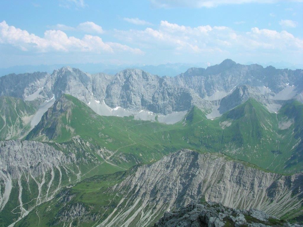
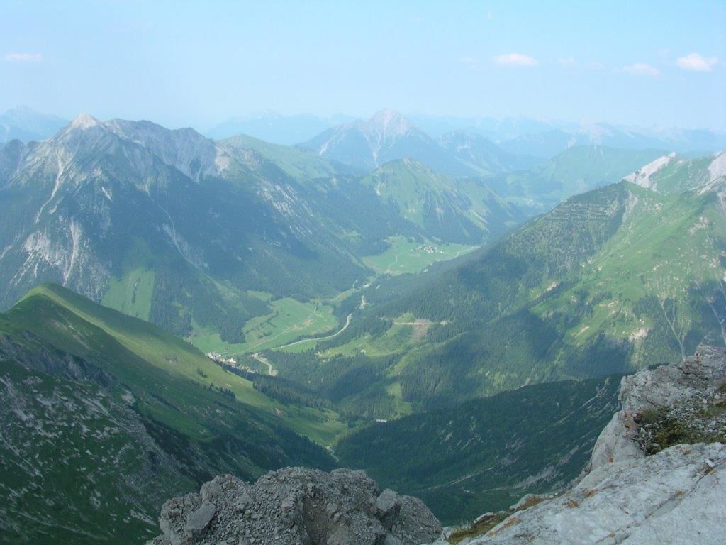
Very beautiful mountain view!

Tour information

  • Requirement: difficult
  • Length: 7.3 km
  • Elevation uphill:1,236 hm
Highest point2,543 m

Starting point

Fallerschein junction

Finishing point

Namloser Wetterspitze
  • Fitness level 3 / 6
  • Technique 3 / 6

Best time of year

  • January
  • February
  • March
  • April
  • May
  • June
  • July
  • August
  • September
  • October
  • November
  • December

Trail condition

Forest path, hiking trail

Equipment

Good equipment is essential for your hike. The following items should definitely be in your rucksack: - Food and drink - Functional clothing for rain, wind and cold - A change of clothes - Sun protection - First aid kit - Mobile phone with a full battery (Euro emergency number 112) - Hiking map or GPS - Hiking poles Nevertheless, the following applies: light luggage is also easier to carry, so you should not weigh down your rucksack with unnecessary ballast. In addition, your hiking equipment should of course also be adapted to your particular hiking tour.
Source: Outdoorregion Imst

Description

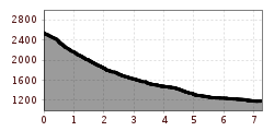
Your 3 km route to the mountain village of Fallerschein takes around 30 minutes.
The rest of the steep ascent to the Namloser Wetterspitze takes you through the Sommerbergtal valley to the Putzenjoch. Your ascent to the summit takes place on a well-marked path via the southern summit slope.

Nearby huts and mountain restaurants

Getting here

  • Arrival by public transport

    From the end of June to the end of September Side valley cab
     

  • Parking

    Parking lot junction Namloserstraße

More tours in the surrounding area

Newsletter

The mountain is calling? So does our newsletter!

In our monthly newsletter we reveal the best holiday tips for Tyrol.