
Opening hours:Open today
Place:Mieming
:Alpine pasture / hut / mountain restaurant:Breakfast, vegetarian, vegan
Summit tour: Gacher Blick
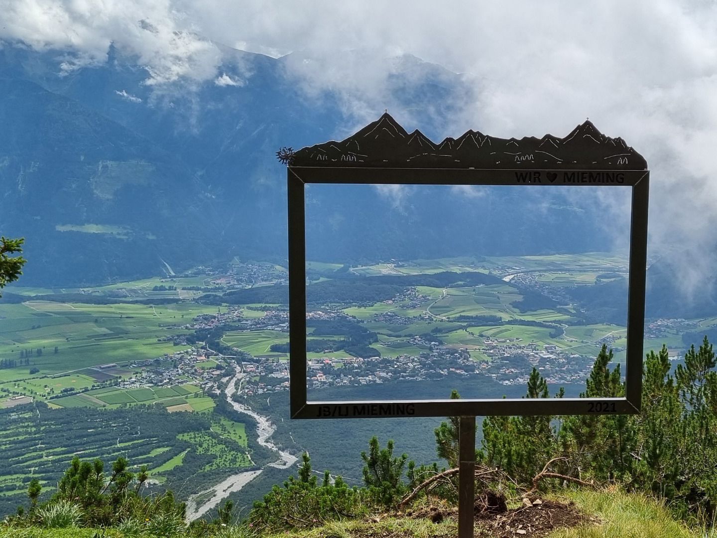
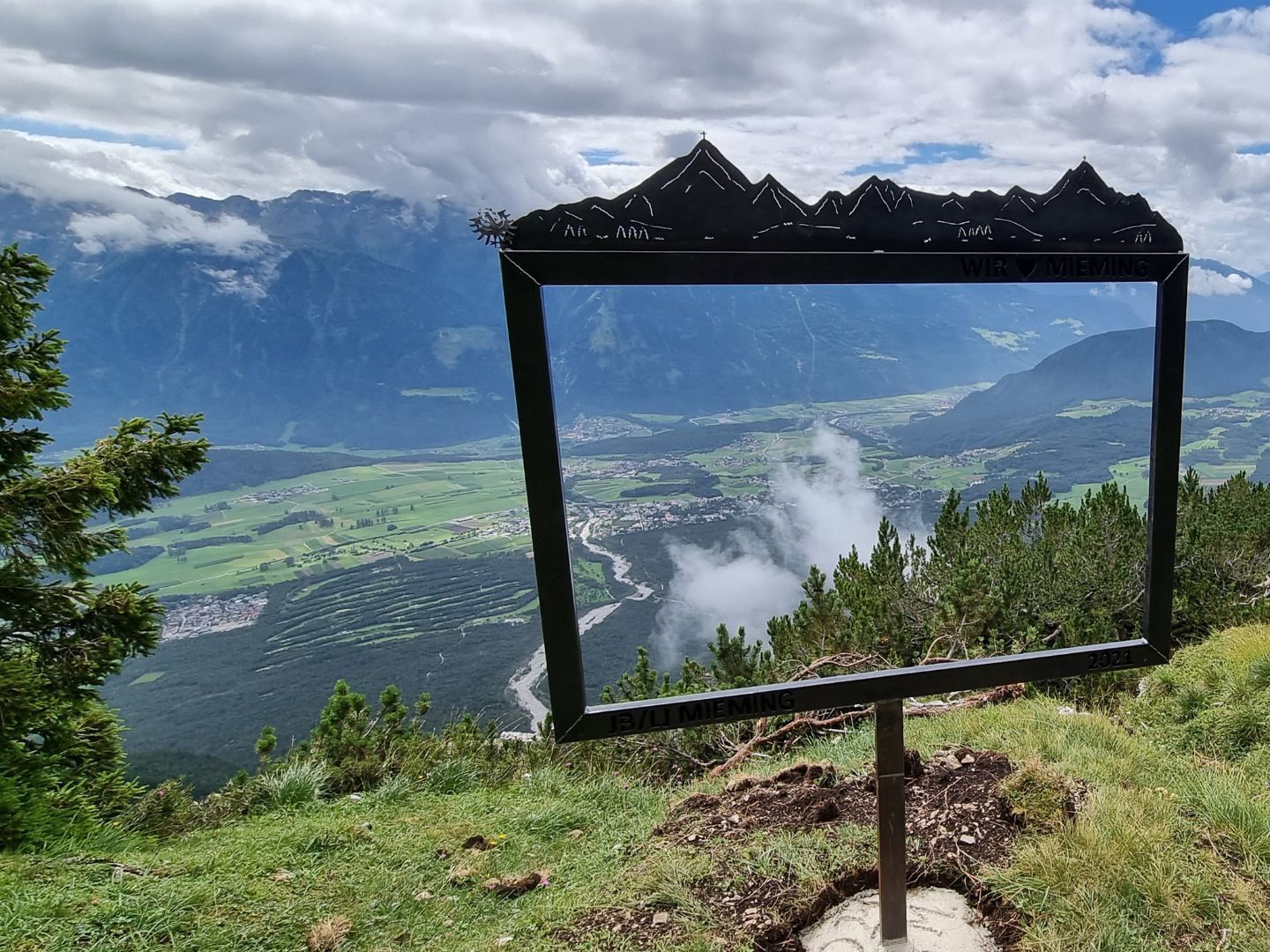
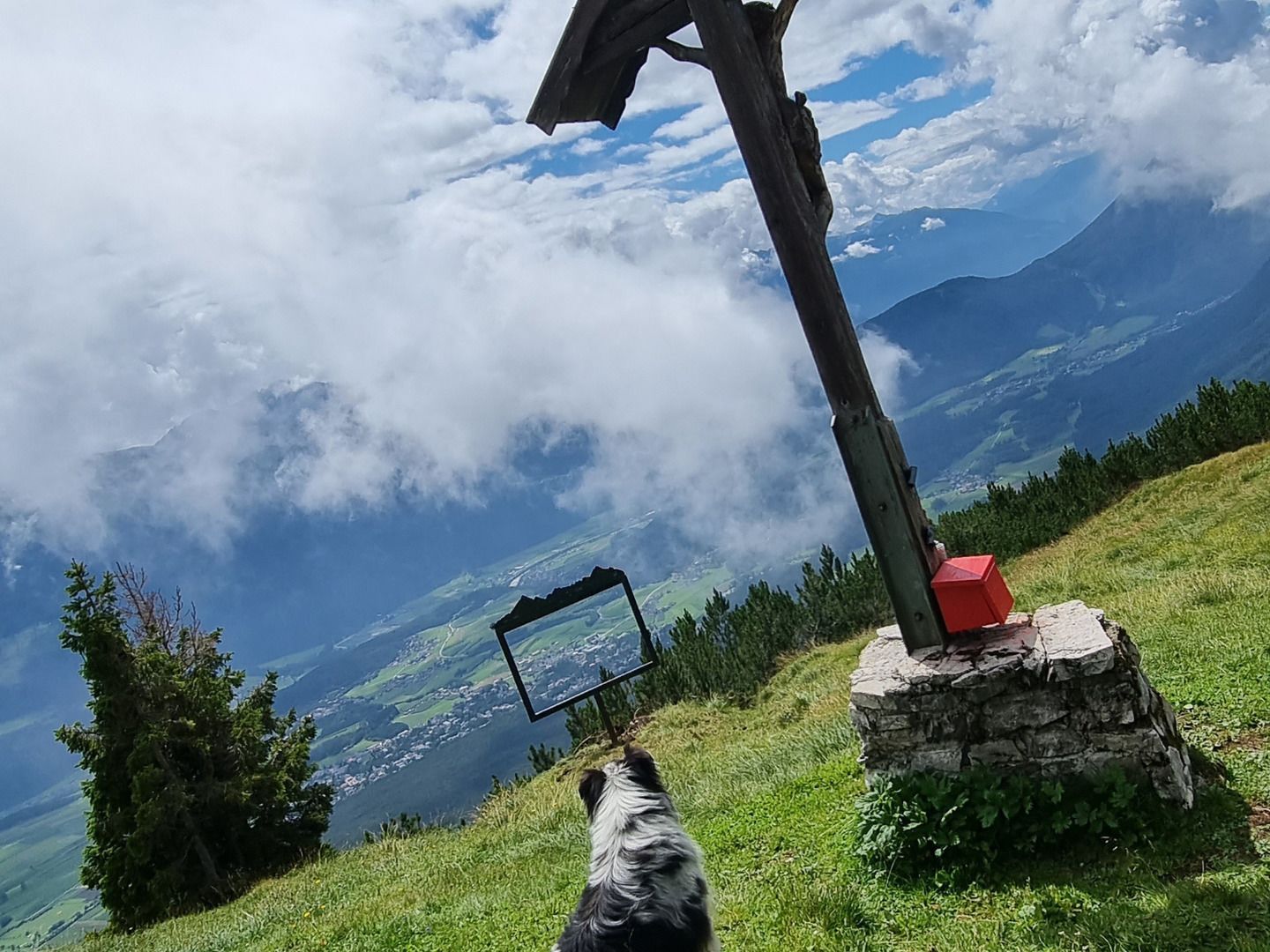
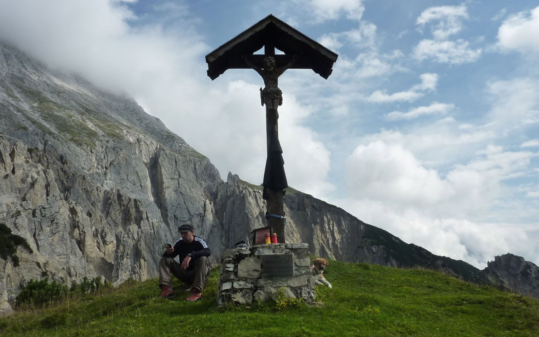
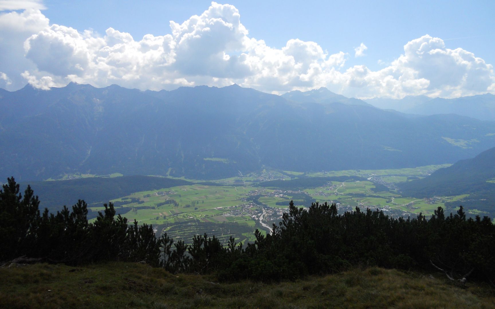
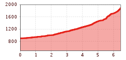
From the car park, head through the gate and follow the gravel path towards the Stöttlalm mountain hut. Before reaching the Stöttlalm, you will come to a fork in the road. Take the route that leads through the forest towards the Boasligbrücke bridge. This good gravel path zigzags up the mountain and covers quite a few vertical metres. From the Boasligbrücke bridge, take the Pfarrer-Kathrein-Steig trail towards Henneberg and then continue along a varied and relatively steep path up to the Gachen Blick viewpoint. There you can enjoy magnificent alpine views and the impressive sight of the Judenklamm gorge below. The hike back follows the same route.


