
Opening hours:Open today
Place:Scharnitz
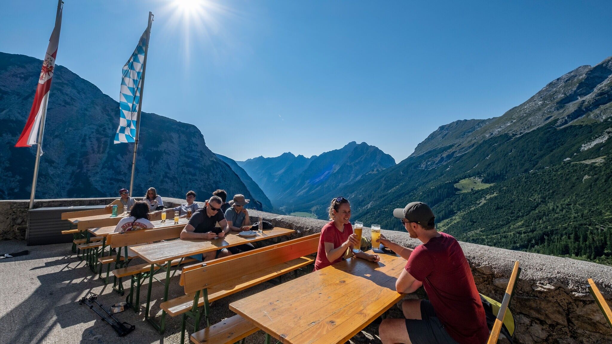
:Alpine pasture / hut / mountain restaurant
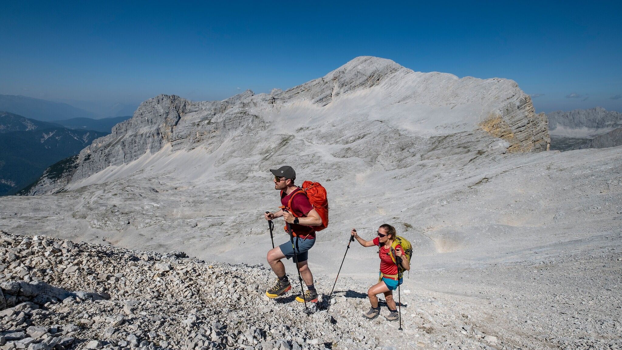
The Toni Gaugg Trail is a high-alpine ridge route in the Karwendel mountains, offering experienced mountaineers a spectacular tour between the Pleisenhütte and the Karwendelhaus. Alpine experience, strong physical fitness, sure-footedness, a head for heights, and thorough tour planning are essential prerequisites for tackling this trail.
Mountain path.
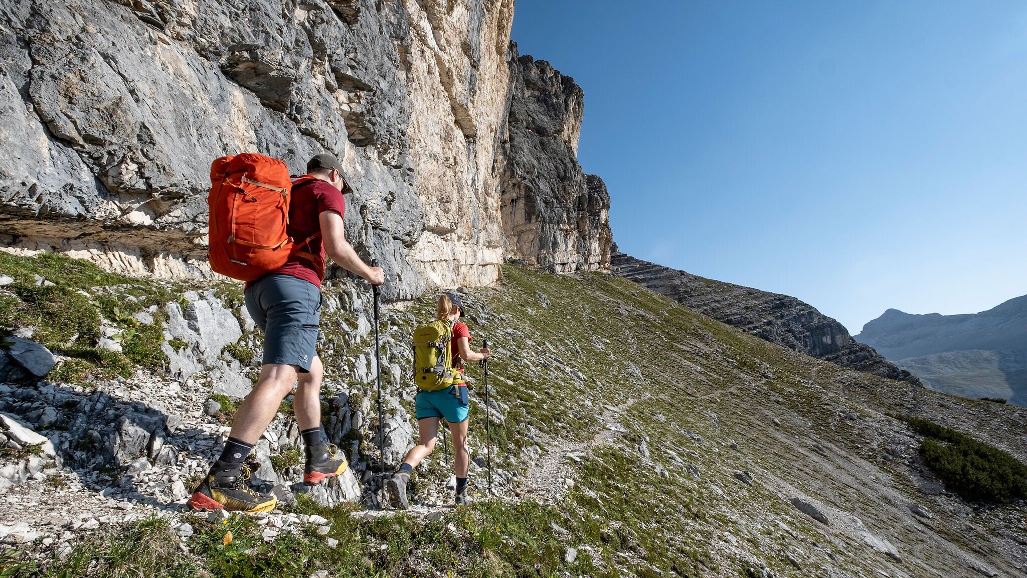
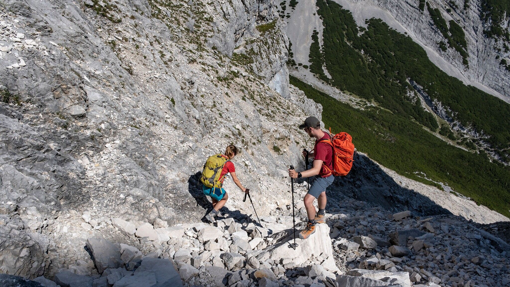
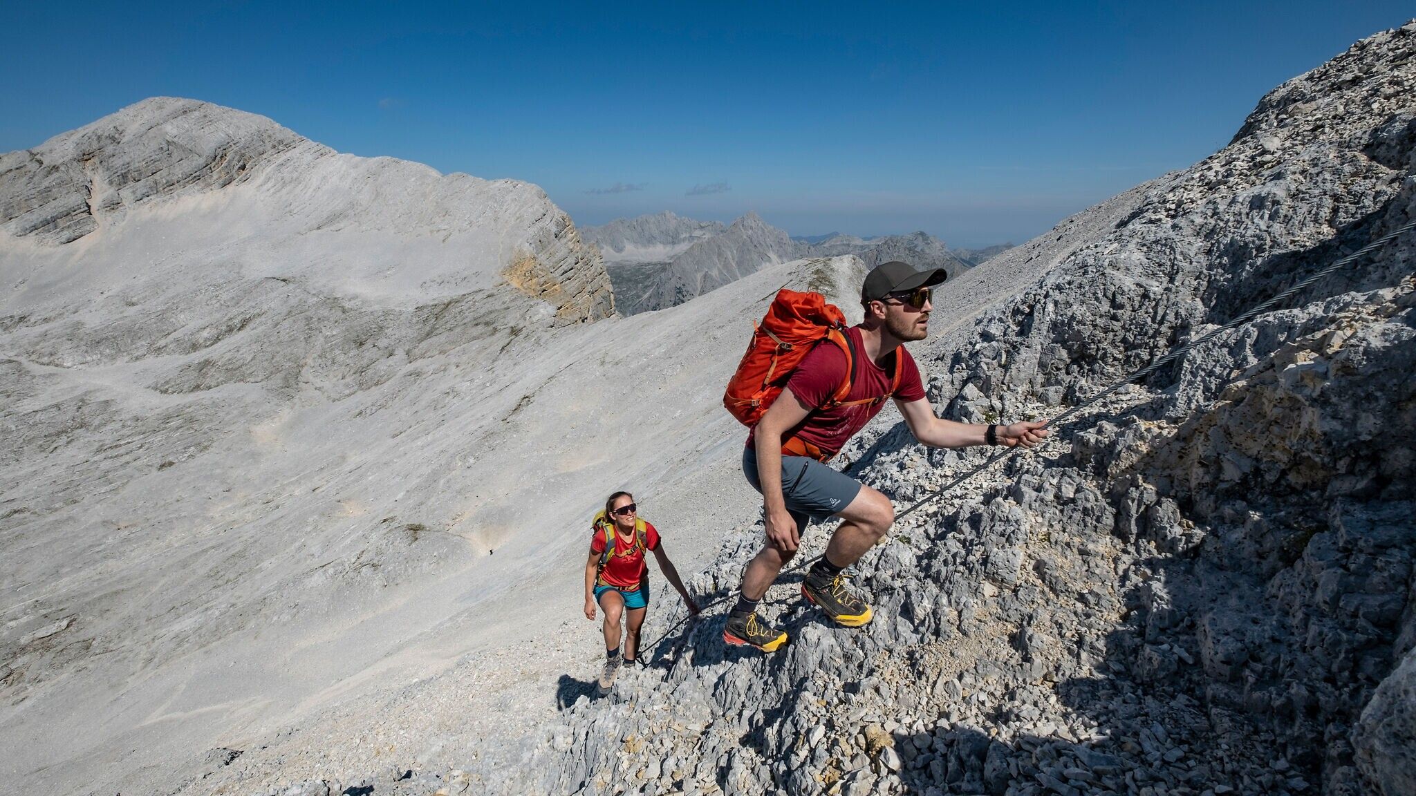
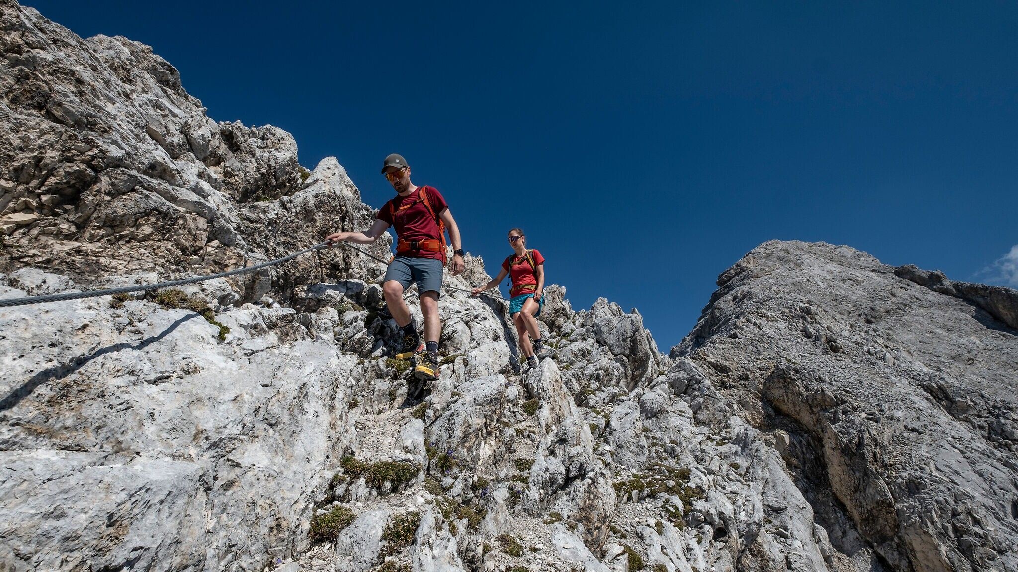
The ridge trail leads through high-alpine terrain, where clear paths are not always present. In some sections, only trail markings indicate the direction, while other parts are secured with steel cables.
All current information about the trail closures in the Region Seefeld can be found here.
Have you been out and about in the Region and discovered a spot that we should rework or repair? Fill out the form "Report a danger zone" and let us know where work is needed.
Sturdy hiking shoes, functional clothing, a backpack, water, snacks, alpine experience, and sure-footedness are necessary for this tour!
Also recommended: a hiking map or GPS, a first aid kit, sun protection, hiking poles, and an emergency blanket.
A little-traveled route in high alpine terrain, suitable only for very experienced mountaineers.
From the Pleisenhütte, follow the trail toward the Pleisenspitze for about 20 minutes, then turn right at the signpost onto the Toni Gaugg Ridge Trail. The route continues uphill through dwarf pines and heads east past the base of massive limestone slabs (memorial plaque) into the Mitterkar. The path then climbs – again through dwarf pines – to the base of the long southern ridge of the Larchetkarspitze, eventually crossing over to the eastern side of the ridge beneath overhanging yellow-grey rock walls.
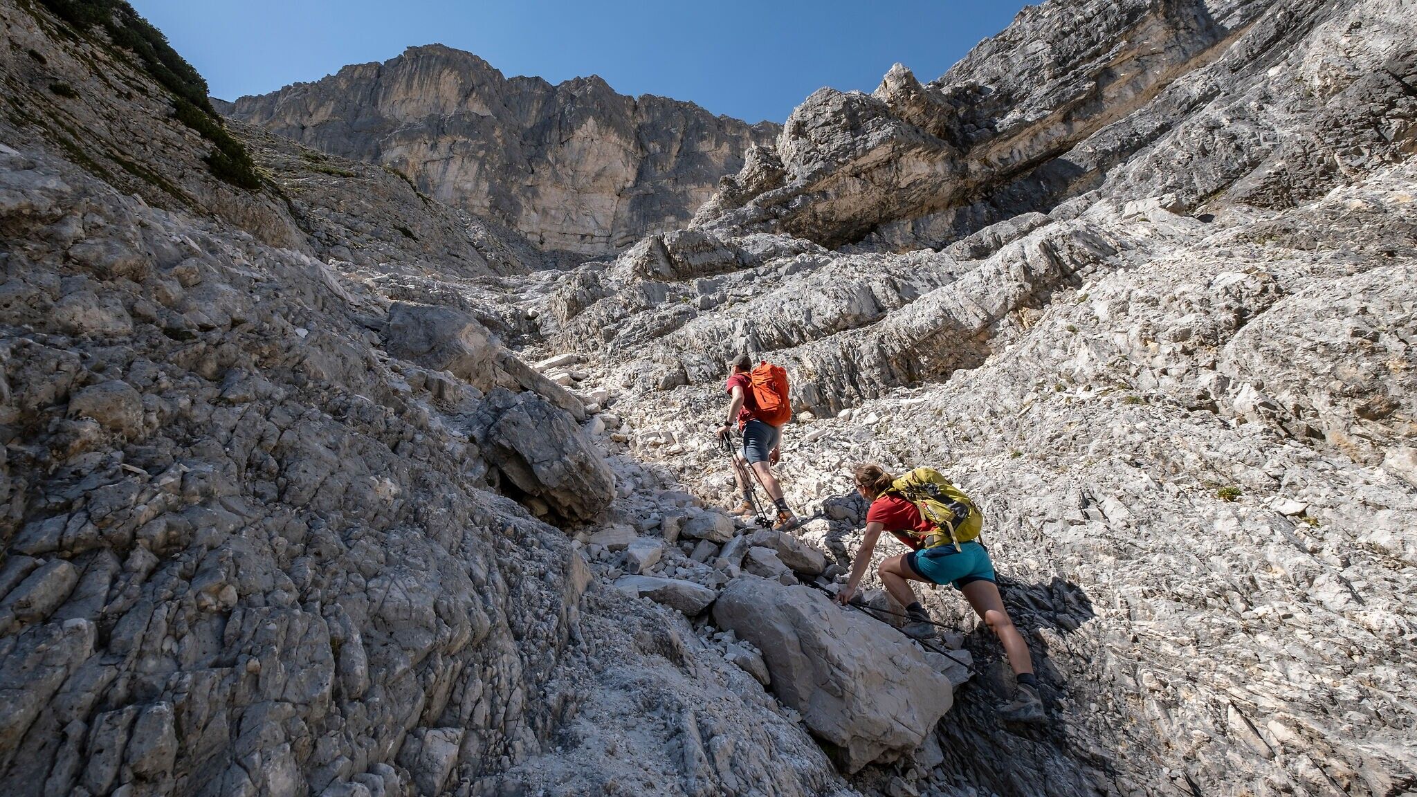
Here, a traverse known as the Kuchl marks the first key section of the trail – and is a good indicator for what's to come. Anyone struggling here is strongly advised to turn back. After the traverse, the path descends slightly, then curves left around a ridge and enters a scree gully equipped with new steel cables for descent. Follow this gully pathlessly for about 60 m across a boulder field, then continue left along the now-visible trail into the Hinterkar.
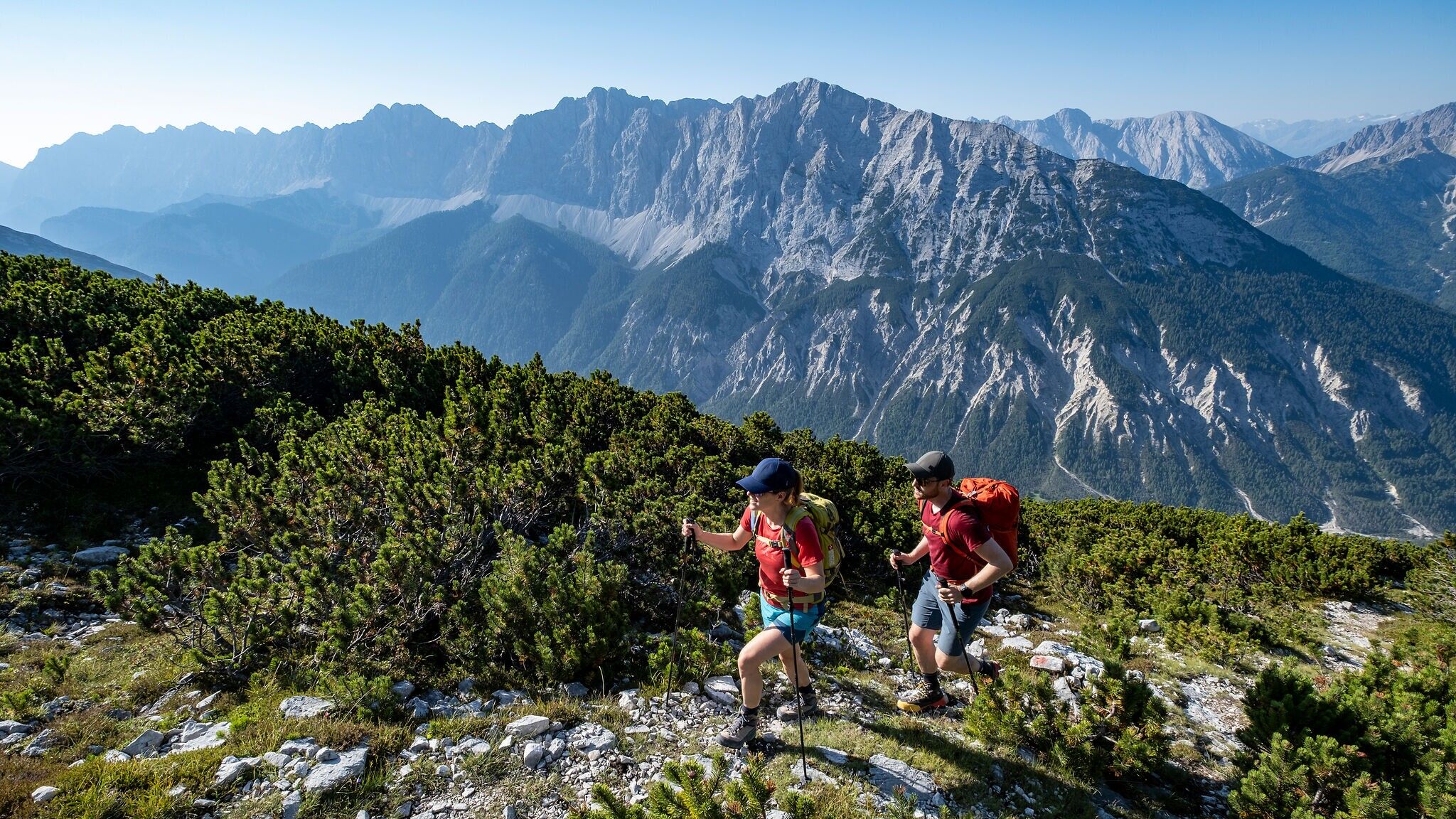
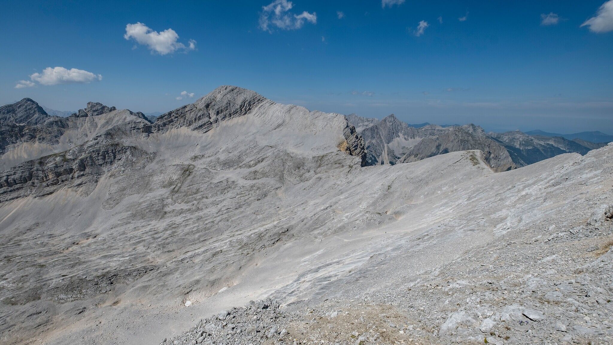
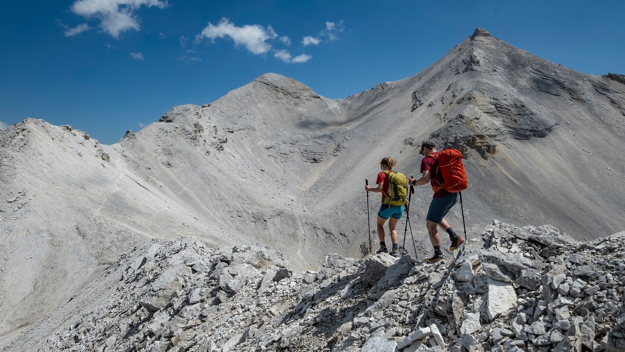
Through the Hinterkar – now completely beyond the belt of dwarf pines – the path gently ascends toward the base of the southern ridge of the Große Riedlkarspitze. This ridge divides the vast cirque into western and eastern sections. Continue past the base of the ridge into the eastern part of the Hinterkar, a surreal, erosion-scarred moonscape.
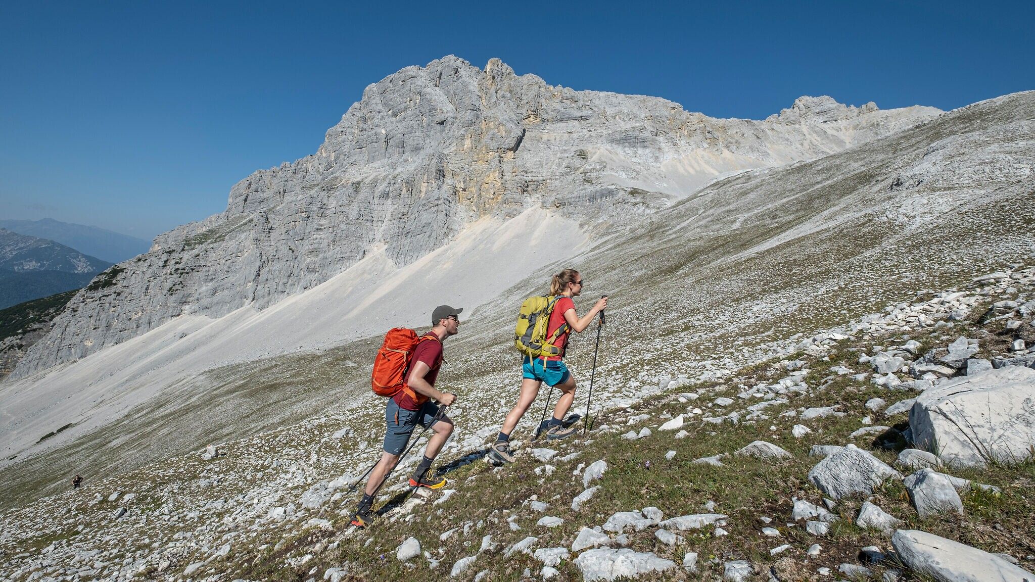
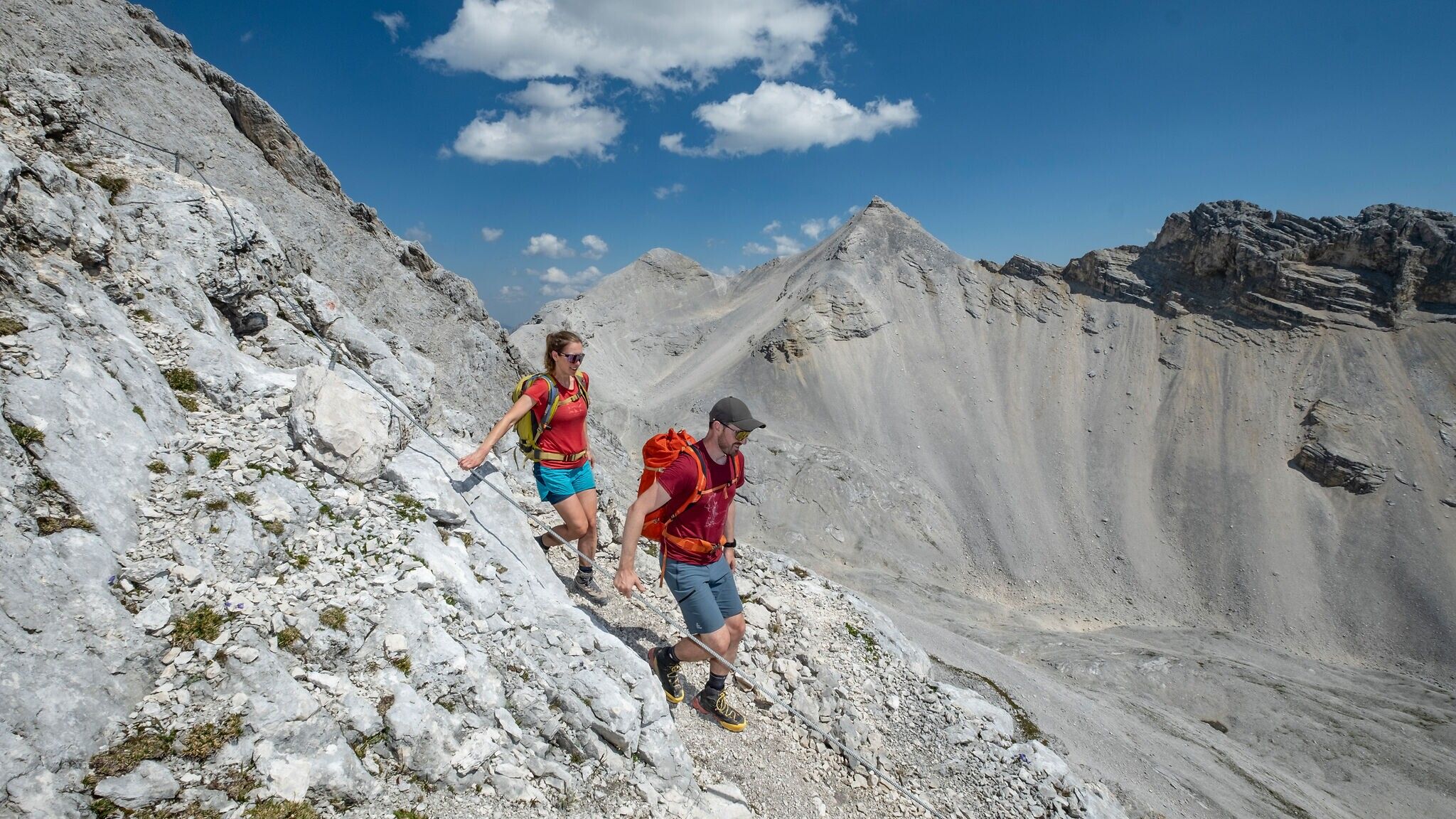
The trail now leads quite directly across grassy slopes toward the northern ridge of the Breitgrießkarspitze. From here, traverse horizontally into the western flank. The trail climbs steeply about 50 vertical meters through rugged terrain and is newly secured with a rope. The ridge is reached via a gravel band – marking the highest point of the tour.
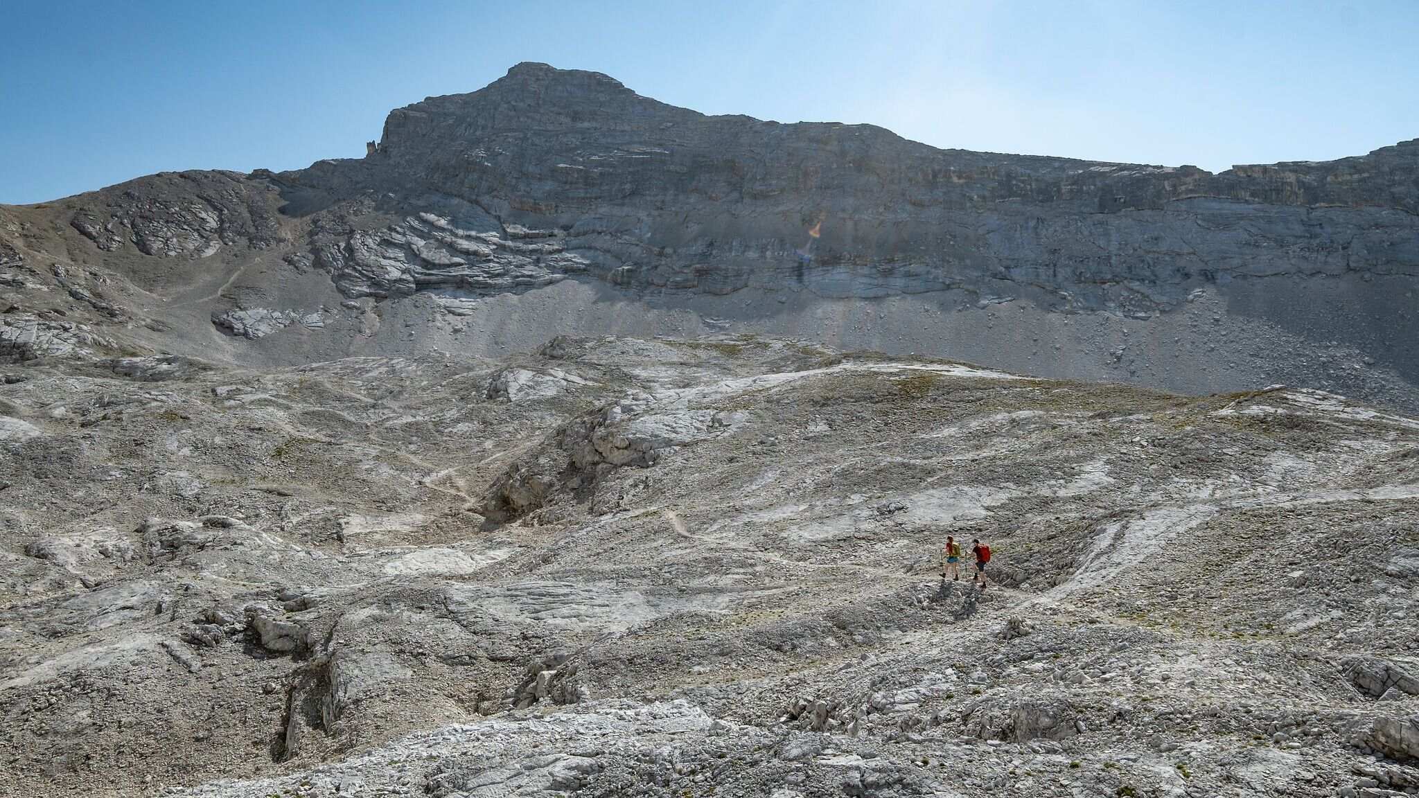
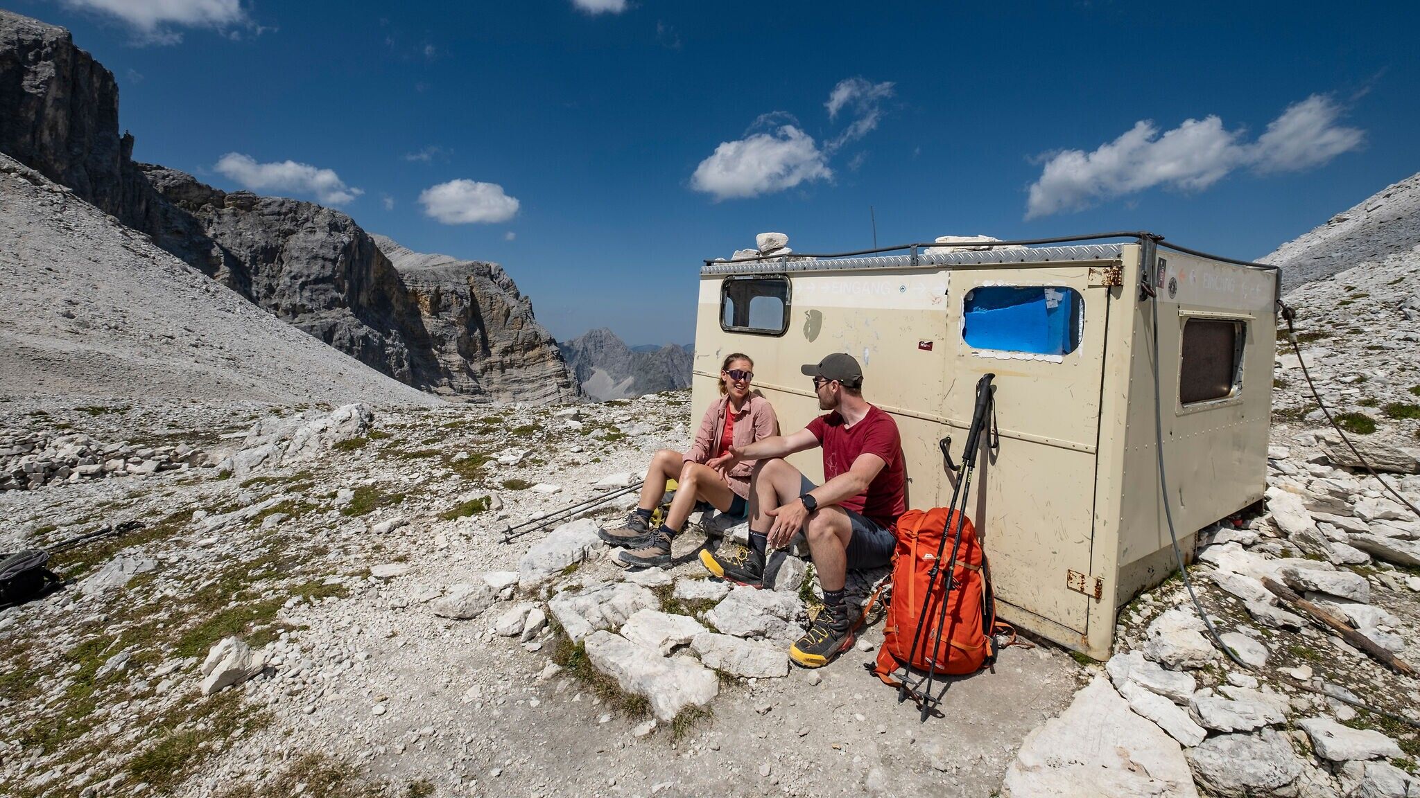
From the ridge, immediately switch to the opposite side (marker post) and descend steeply through mixed grass and rocky terrain. This key section on the brittle western flank of the Breitgrießkarspitze has been made safer by new rope installations and is now manageable for experienced mountaineers. Below the sheer cliffs, traverse to a gravel ridge that leads down to the Breitgrießkarscharte and the emergency bivouac box. This bivouac can be used for emergency overnight stays or as shelter in case of storms. From there, the trail ascends again through a scree slope to the Seekarscharte (2,455 m).
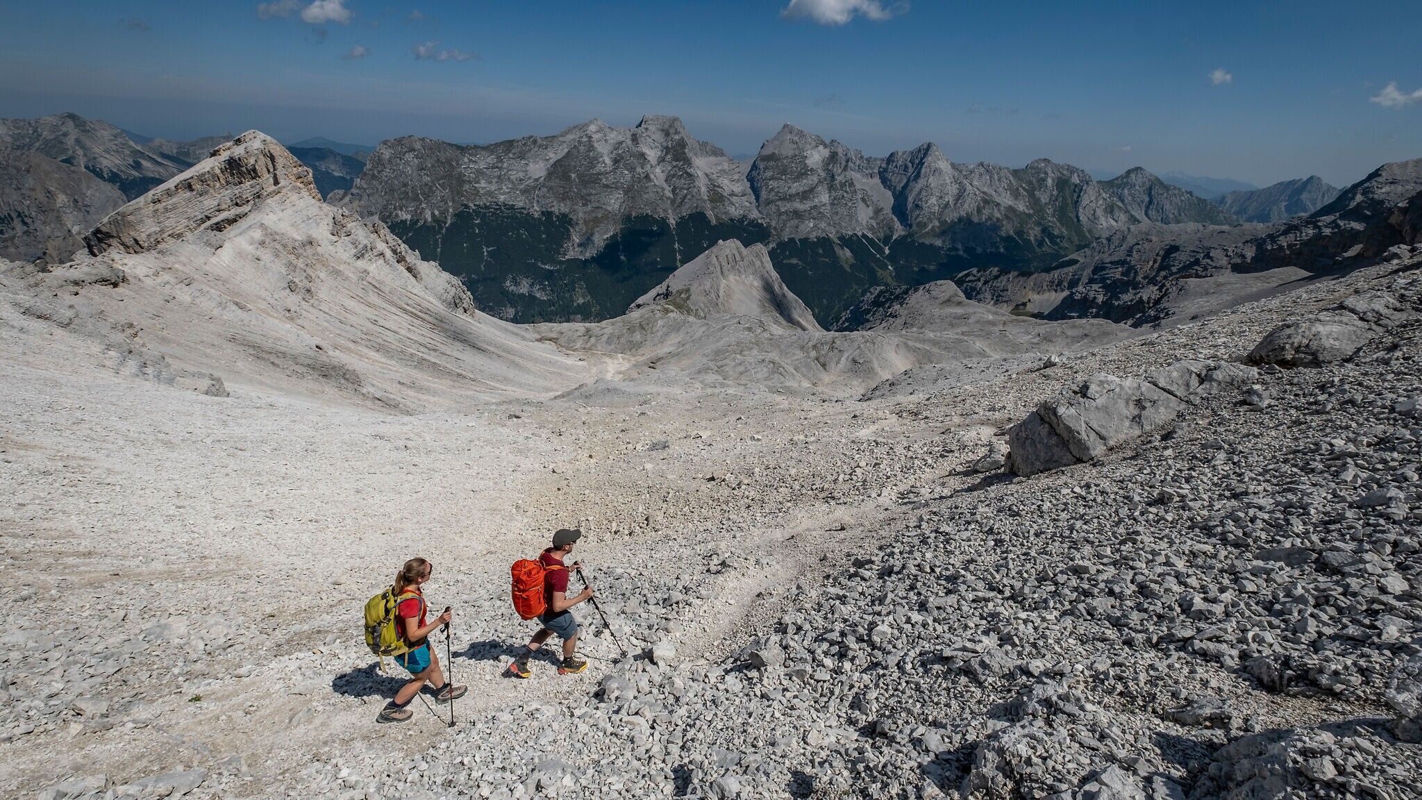
From the Seekarscharte, the trail descends north into the Seekar, continuing while keeping right into the Marxenkar. This section crosses hollows and grassy slopes. At a distinctive rock with red markings, turn right and follow the letters KWH (Karwendelhaus) straight toward the ridge that separates the Marxenkar from the Schlauchkar.
The trail branching off to the left serves as an "emergency descent" into the Karwendel Valley. It can be used in bad weather or if the final ascent proves too exhausting. Note: even if you descend into the valley, you must still continue on foot to either Scharnitz or the Karwendelhaus.
Between two cairns, ascend a steep scree field and soon turn left into a rugged section with a clearly visible red trail mark. A steep stretch of approx. 40 vertical meters through exposed rocky terrain follows, partly secured by a steel cable. At its end, the Toni Gaugg Ridge Trail merges with the Brendelsteig (signposted).
Follow this steeply downhill. Warning: this trail has only limited rope protection and is especially demanding toward the end. In a wide left curve, it descends through the Schlauchkar to the opposite side of the valley and connects to the trail leading to the Birkkarspitze (signposted). From there, it’s just a short walk to the Karwendelhaus.
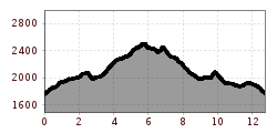
Important: The ascent to the Pleisenhütte and the descent from the Karwendelhaus are not included in the listed hiking time. Ascent to Pleisenhütte: approx. 2.5 hours; descent from Karwendelhaus: approx. 3 hours.
By train to Scharnitz train station, then a 10-minute walk to the starting point at the Nature Park Information Center.
All real-time connections can be found in the route planner.


.jpg")


.jpg")
.jpg")


.jpg")


.jpg")
.jpg")


 (2).jpg")


 Olympiaregion Seefeld")

