
Opening hours:Open today
Place:Scharnitz
:Alpine pasture / hut / mountain restaurant
This high-alpine tour, starting at the Karwendelhaus, offers experienced mountaineers an impressive route over the Ödkarspitzen and the highest peak of the Karwendel range, the Birkkarspitze. Alpine experience, excellent physical condition, sure-footedness, a head for heights, and careful trip planning are essential for completing this route.


Rocky Alpine Trail
The high-altitude trail leads through alpine terrain, where clear paths are not always present. In some areas, only markings (paint dots, cairns, poles) indicate the direction, but these may be missing after storms. Good visibility and orientation skills are required.
Other sections are equipped with wire ropes.
All current information about the trail closures in the Region Seefeld can be found here.
Have you been out and about in the Region and discovered a spot that we should rework or repair? Fill out the form "Report a danger zone" and let us know where work is needed.
Great tour in high-alpine terrain for very experienced mountaineers.
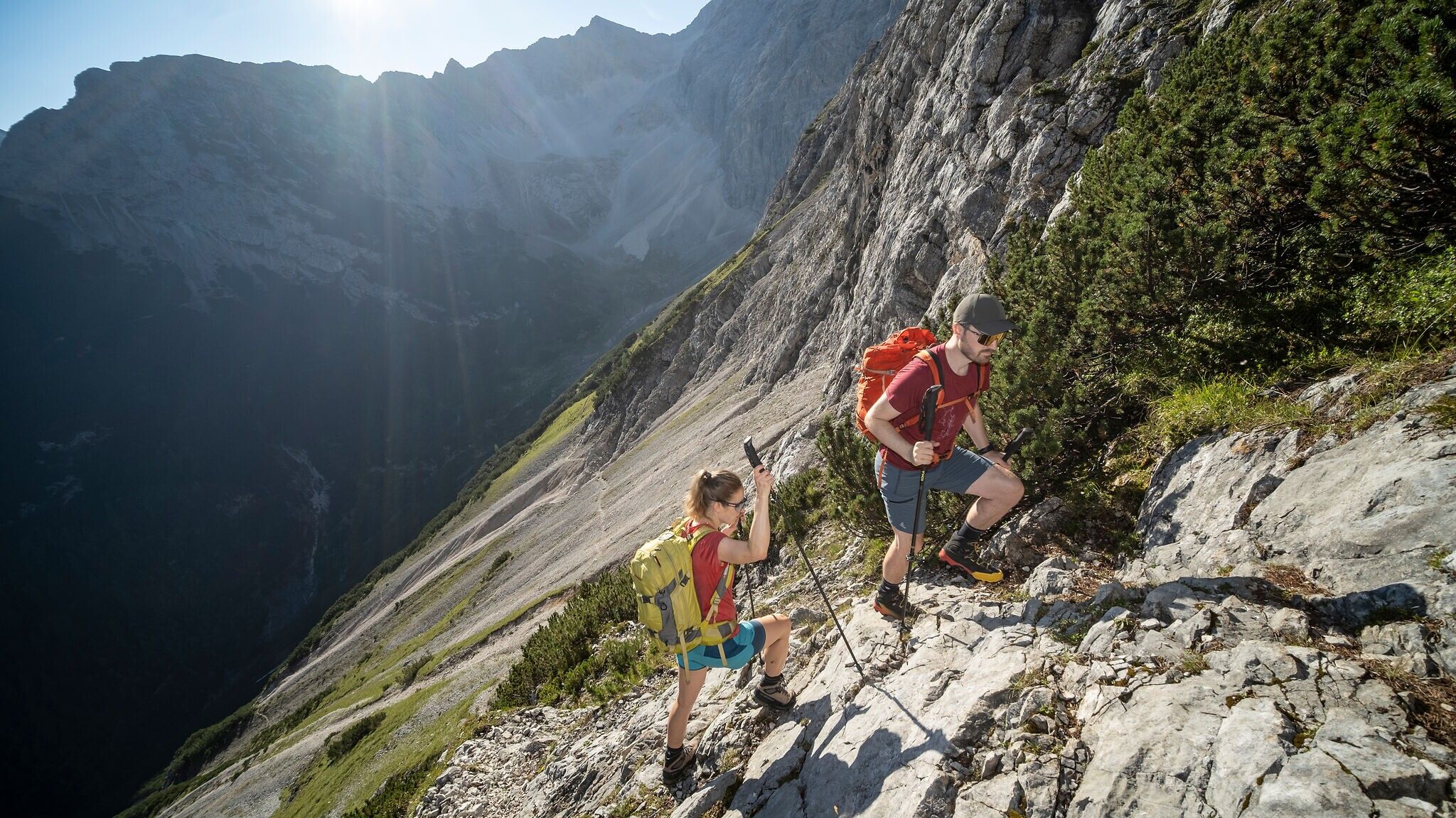
The circular route starts at the Karwendelhaus. Right at the beginning, special caution and increased attention are required: the path leads, partly with wire-rope protection, over earthy, often slippery rocks through avalanche barriers.
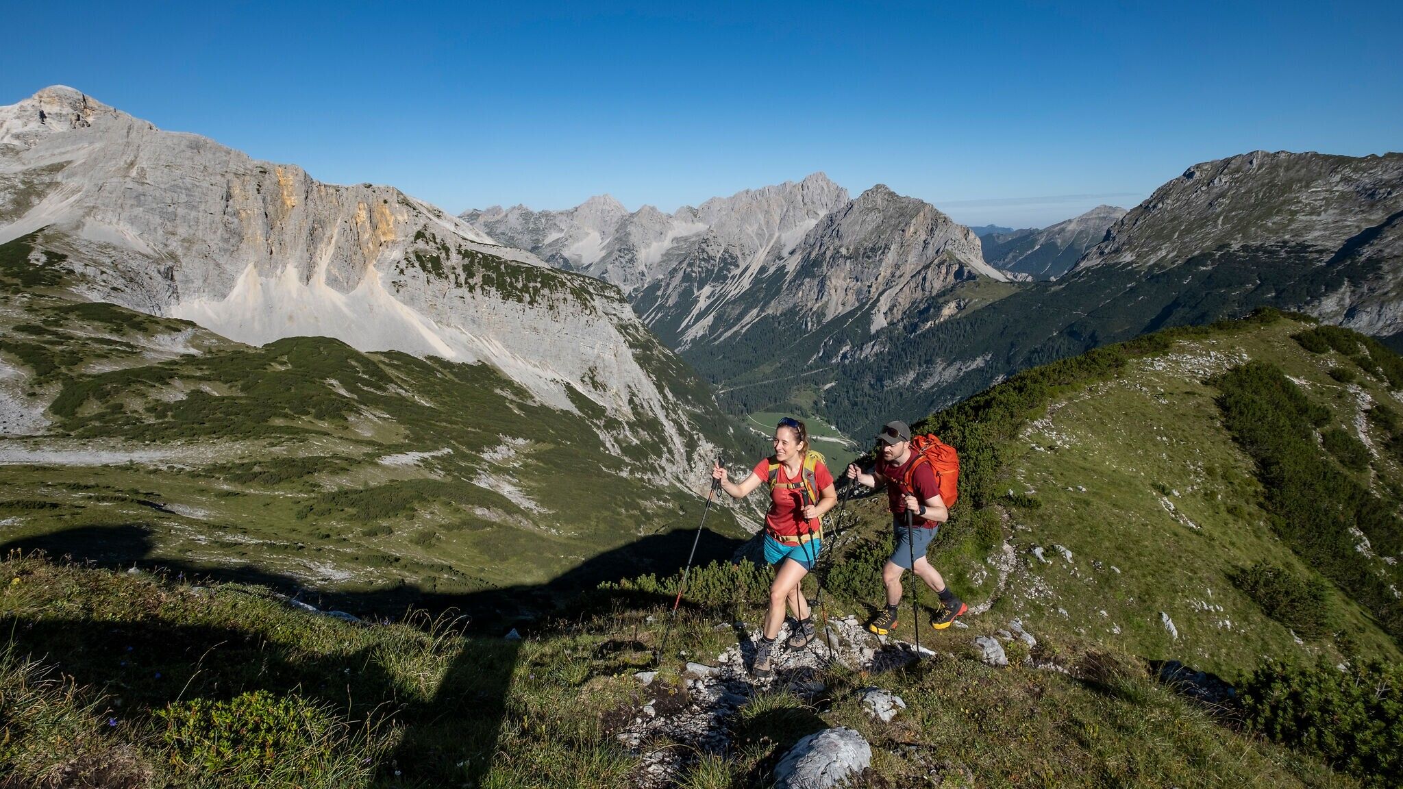
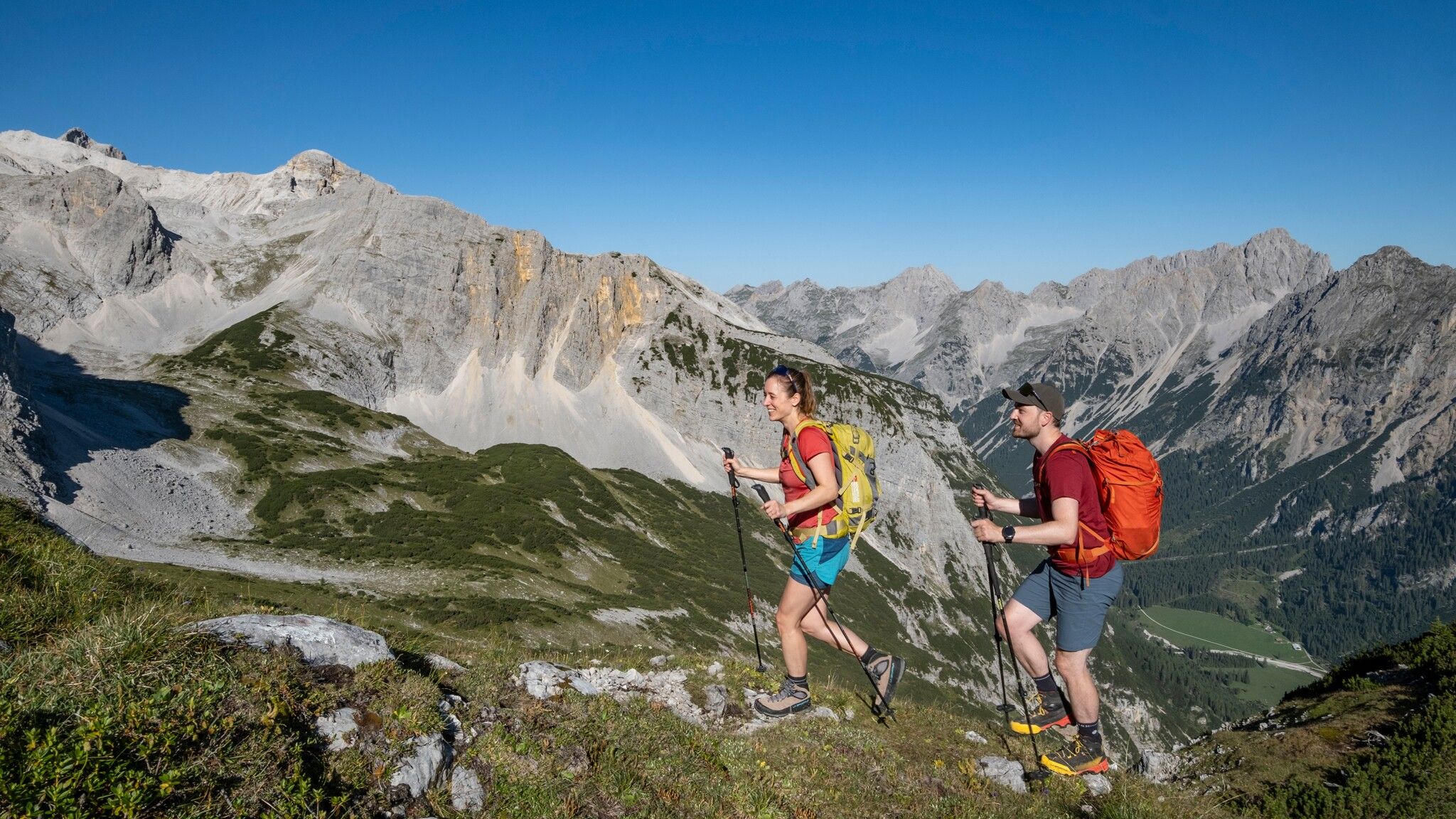
After a short stretch of mountain pines, the trail climbs gently into the wide Schlauchkar. At a distinctive junction, turn right onto the Brendlsteig and follow it further across alpine meadows, before the terrain becomes increasingly rocky and exposed. Eventually, you reach a narrow gully, which often remains filled with hard old snow well into summer and can therefore pose significant dangers. Crampons or microspikes are strongly recommended for crossing.
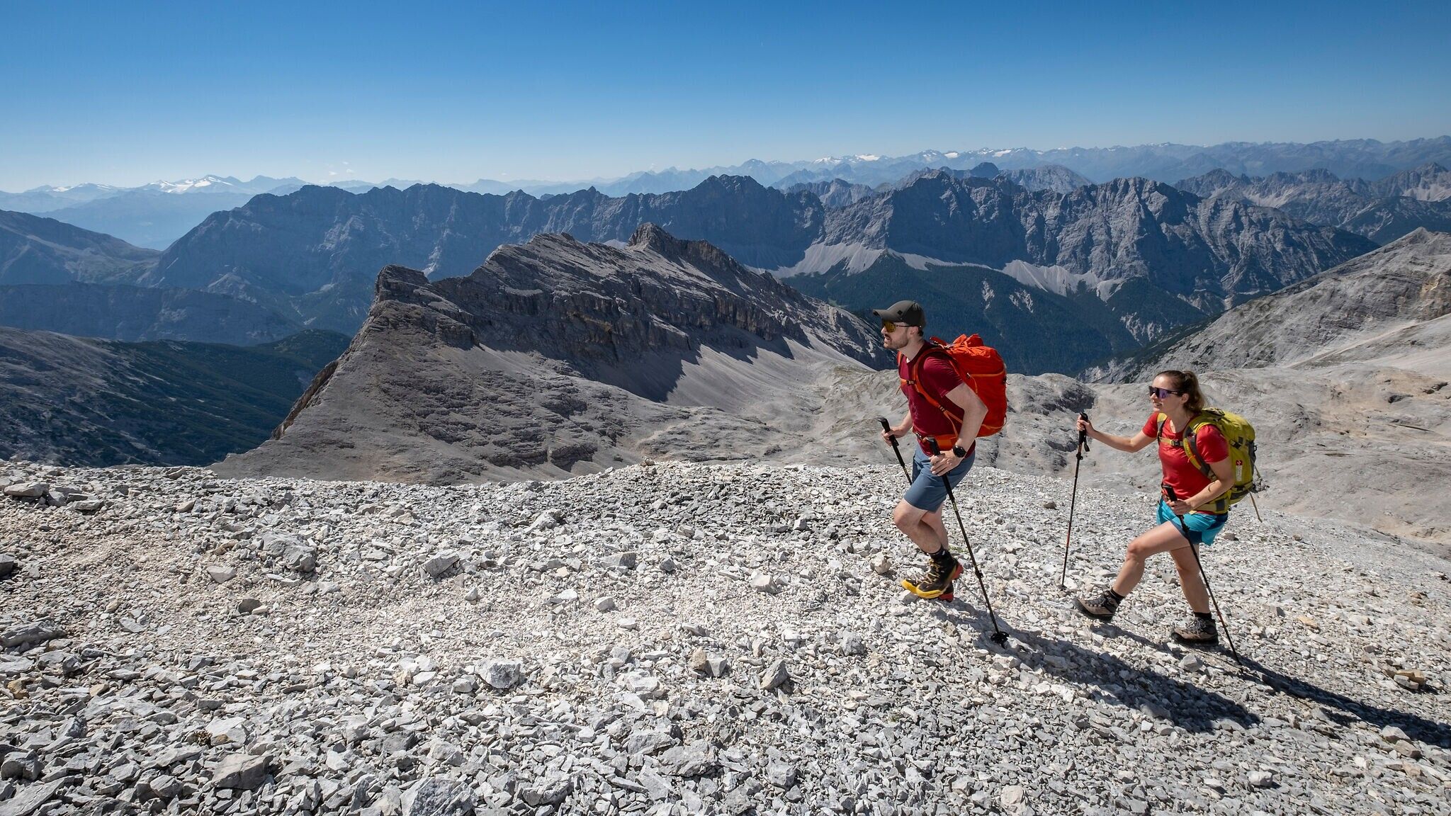
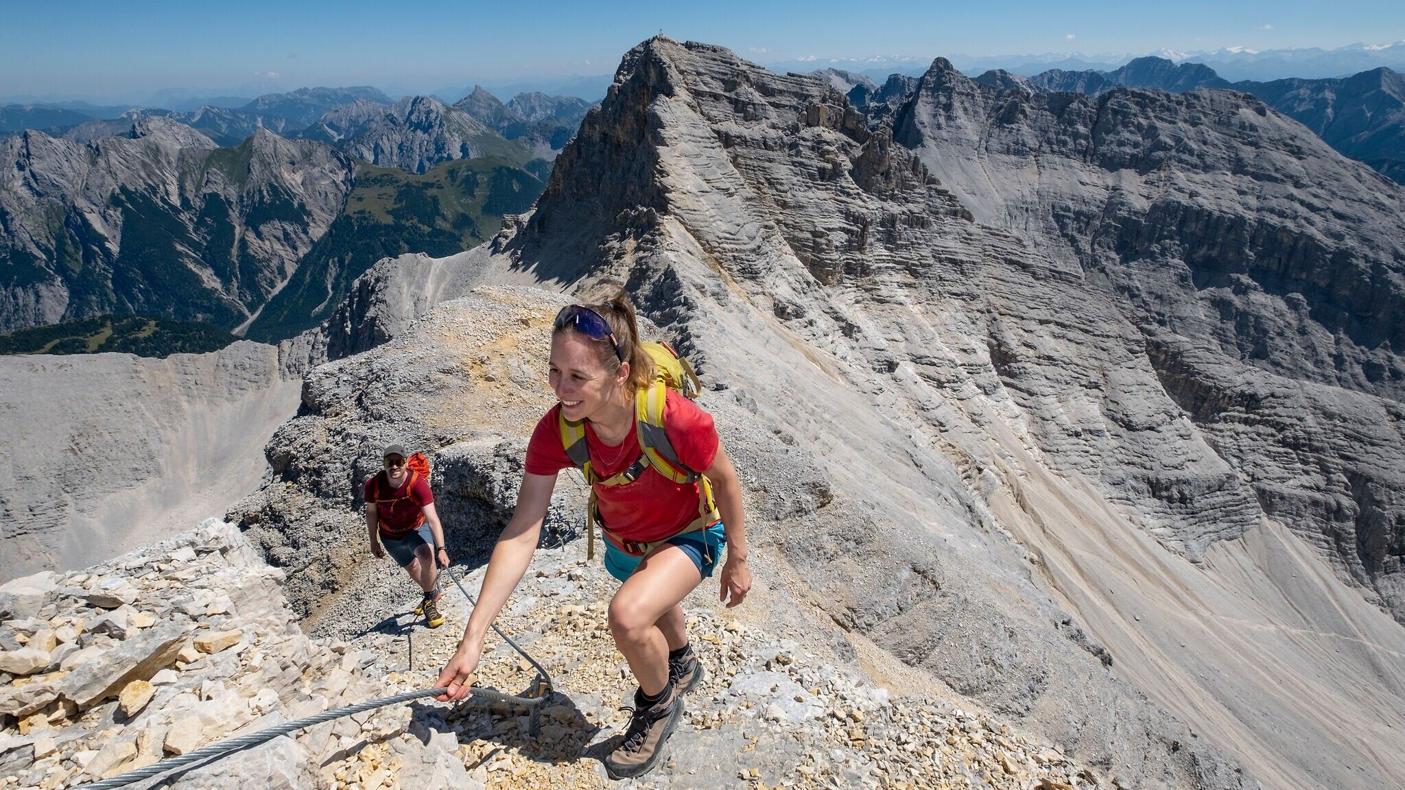
The route continues through steep, earthy rock terrain, where currently no complete rope protection exists, and finally leads up to a broad mountain ridge, the northernmost extension of the Western Ödkarspitze. Here the path divides. To the right, the trail descends into the Marxenkar and via the Toni Gaugg Trail to the Pleisenhütte. However, we keep left and follow the ridge steeply and exposed uphill over rocky terrain. In many sections, the path is now well secured with steel ropes. Finally, it curves right past a massive rock face and continues, this time without rope protection, along a sloping trail. Although this passage is not technically difficult, its exposure requires utmost concentration.
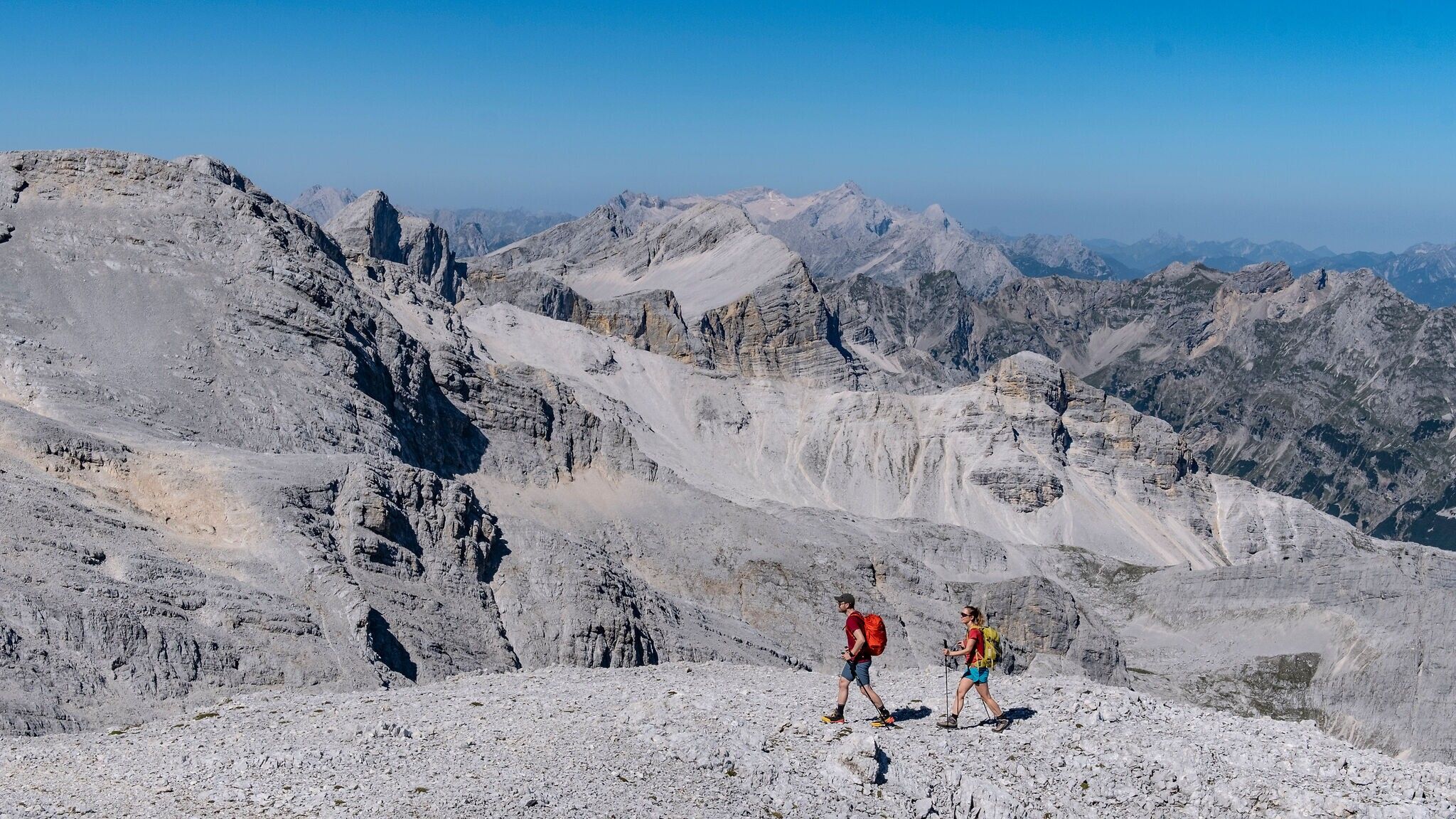
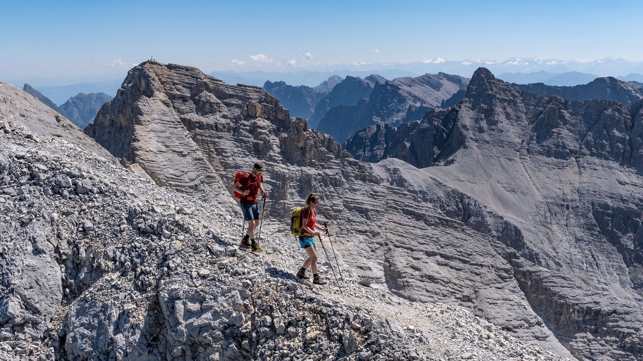
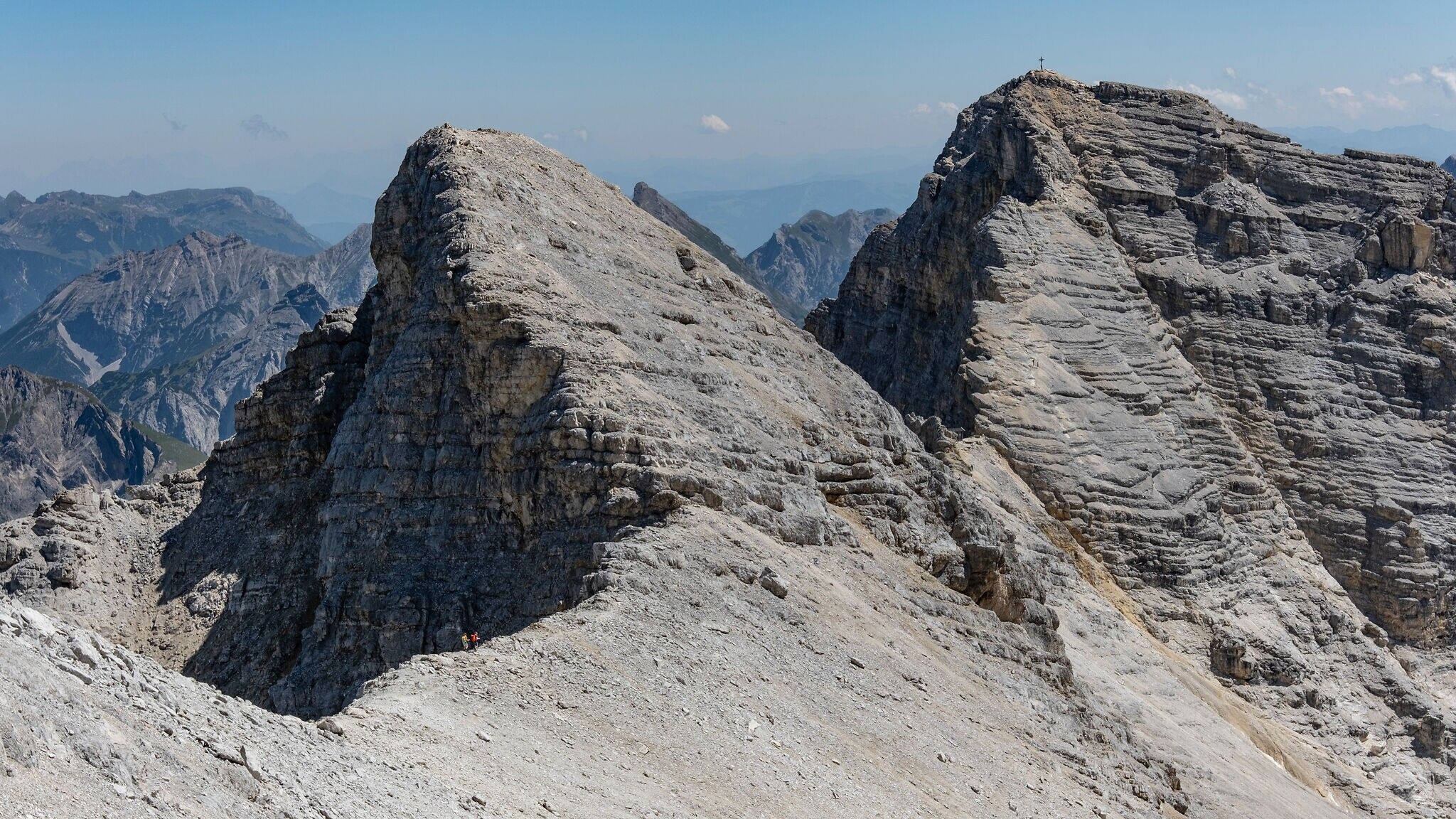
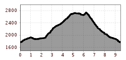
Eventually, we reach a vast scree basin resembling a lunar landscape. A well-trodden path leads through it up to the Western Ödkarspitze and further across the Middle to the Eastern Ödkarspitze. All key sections have been newly secured with massive steel ropes in recent years. Surefootedness and a head for heights remain absolutely essential.
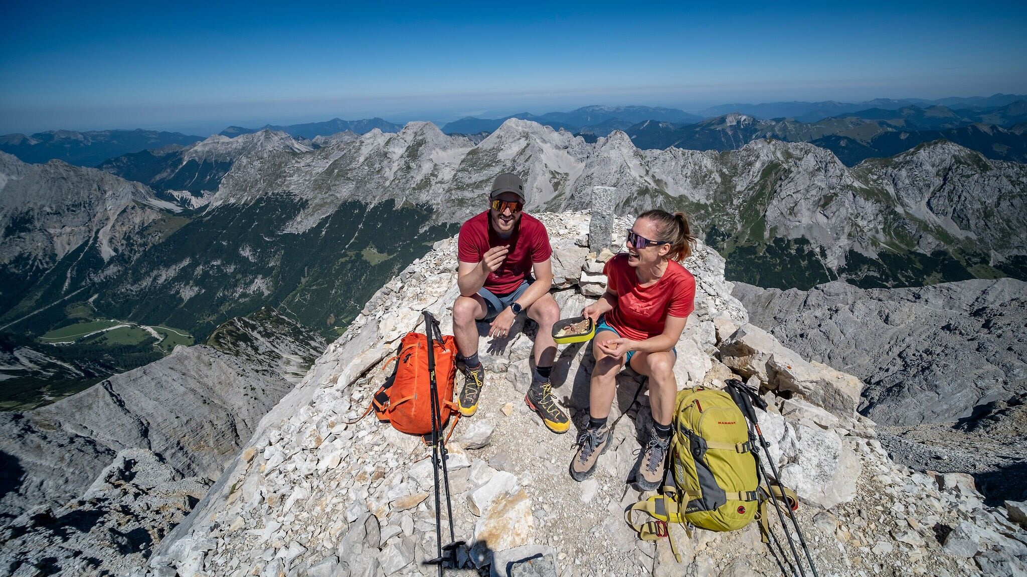
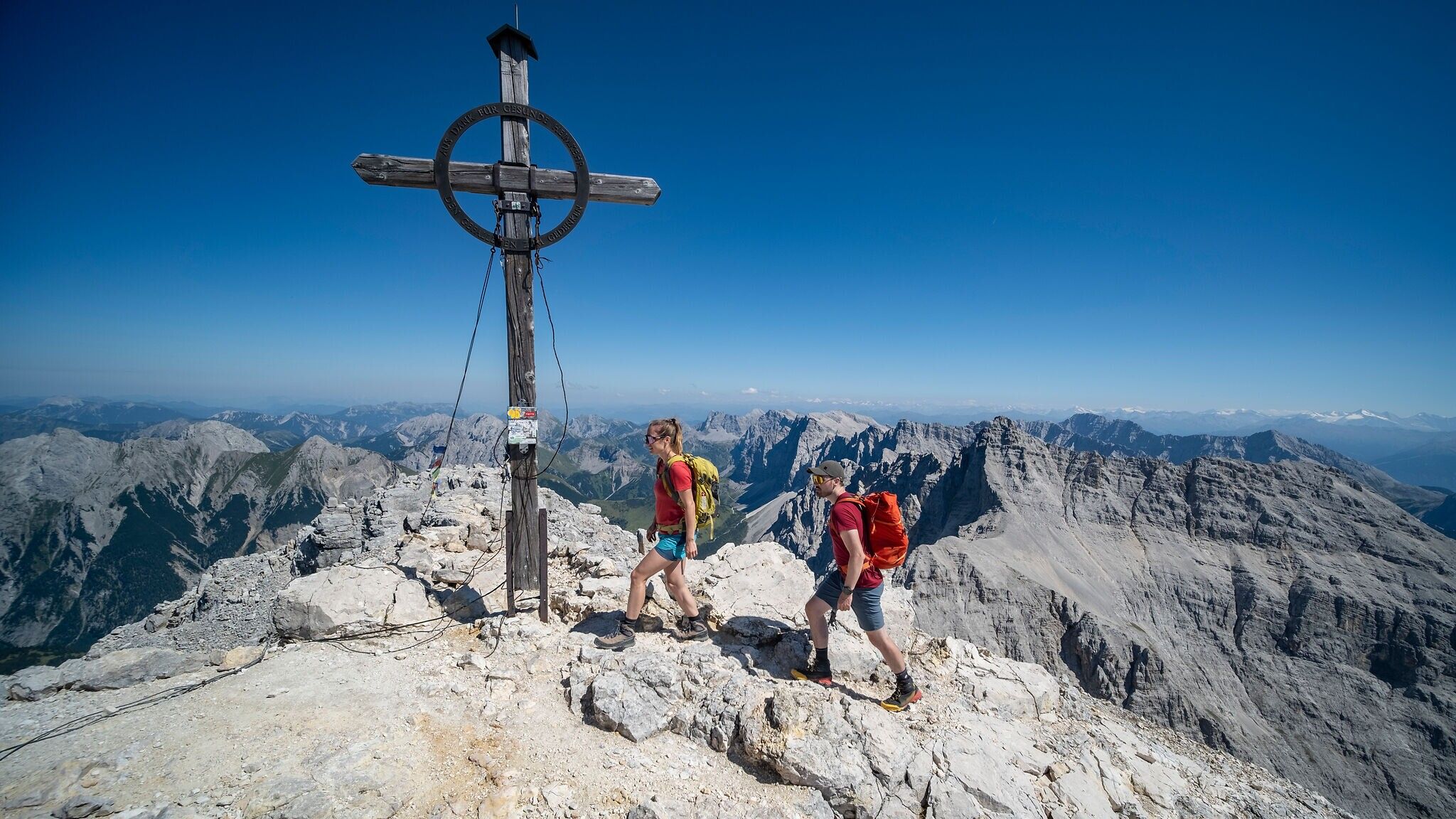
Across the also exposed crossing to the Schlauchkar Saddle, you reach the emergency shelter Birkkarhüttl, which offers protection during storms but must not be used for planned overnight stays. From here begins the final, steep rocky stage to the Birkkarspitze, at 2,749 m the highest peak in the Karwendel. In this section, too, new steel ropes have been installed, providing solid protection for the approx. 15-minute climb to the summit.
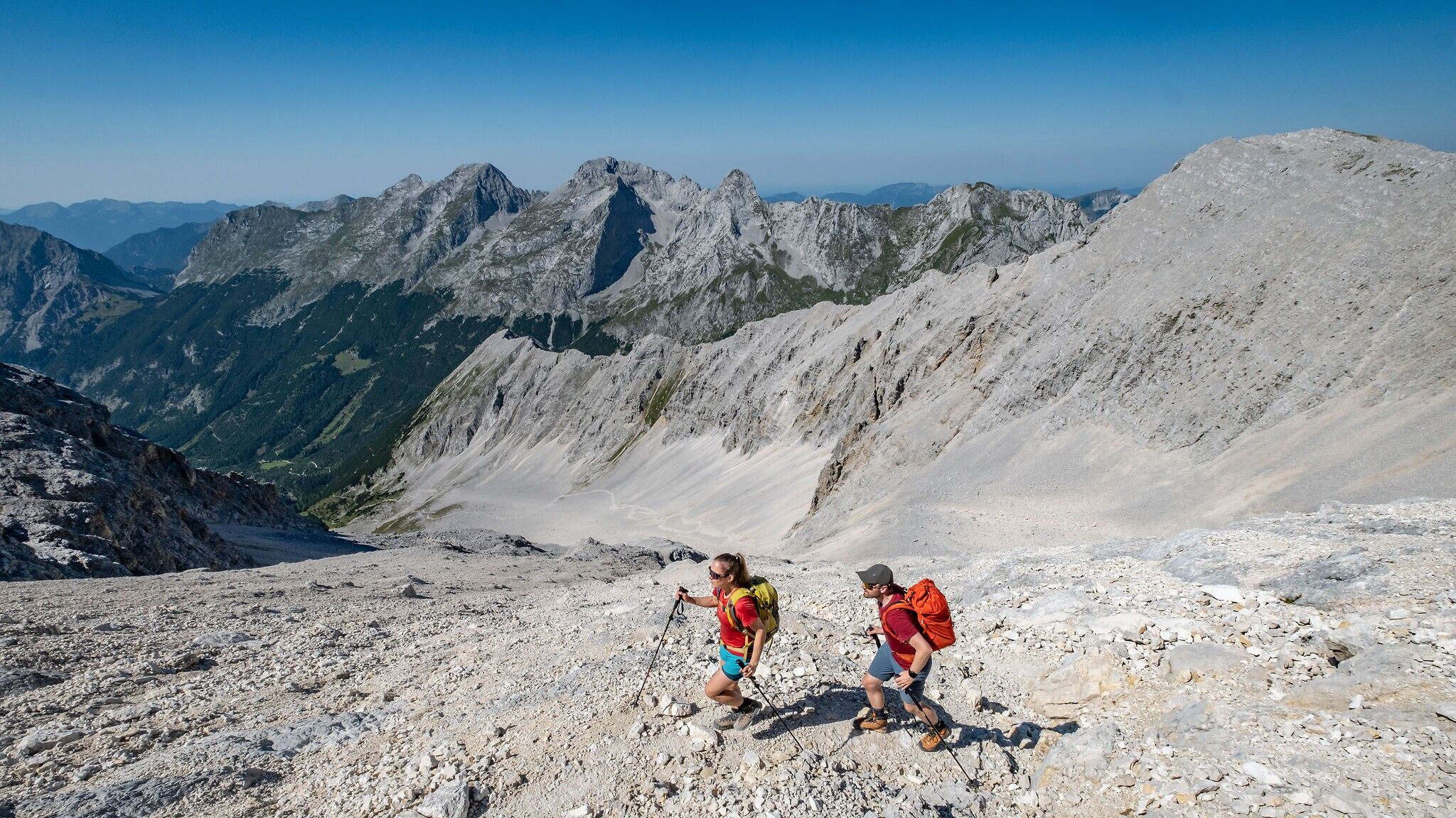
The descent follows the same route back down to the Birkkarhüttl. From there, turn right (unmarked) into the Schlauchkar. The terrain here still presents a considerable risk of falling and demands absolute surefootedness. Some passages are unpleasant to walk due to loose scree, and until early summer, steep snowfields requiring crampons may persist. In the lower parts of the kar, scree gullies partially ease the descent. Finally, you meet the junction with the Brendlsteig again and return on the familiar path to the Karwendelhaus.
Important notes In many parts of the Karwendel, there is no mobile phone or internet coverage. Maps, offline navigation options, and an emergency app that works without network coverage are therefore essential.
On many sections, a simple slip can result in a dangerous fall. The route is not suitable for people with fear of heights or for children; surefootedness and a head for heights are absolutely required.
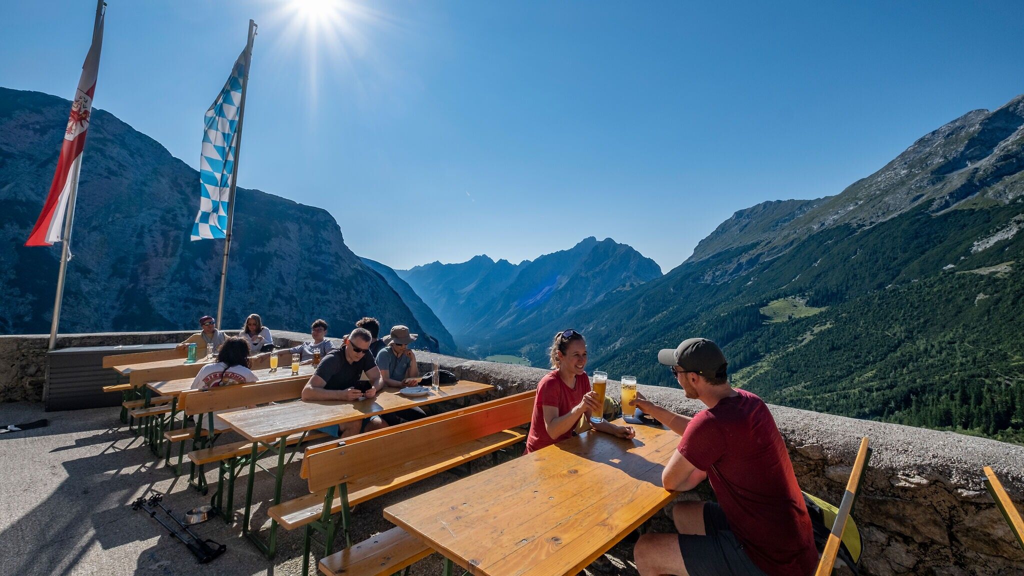
The ascent to the Karwendelhaus is not included in the walking time! An overnight stay at the Karwendelhaus (advance reservation essential) or a very early approach by e-bike is recommended.
By train to Scharnitz train station, then a 10-minute walk to the starting point at the Nature Park Information Center.
The starting point of the tour is the Karwendelhaus – located 18 km from the Info Center.
All real-time connections can be found in the route planner.


.jpg")


.jpg")
.jpg")


.jpg")


.jpg")
.jpg")


 (2).jpg")


 Olympiaregion Seefeld")

