
Arrival by public transport
Travel by train to Landeck-Zams railway station. From there, change to bus line 220 towards Serfaus-Fiss-Ladis.
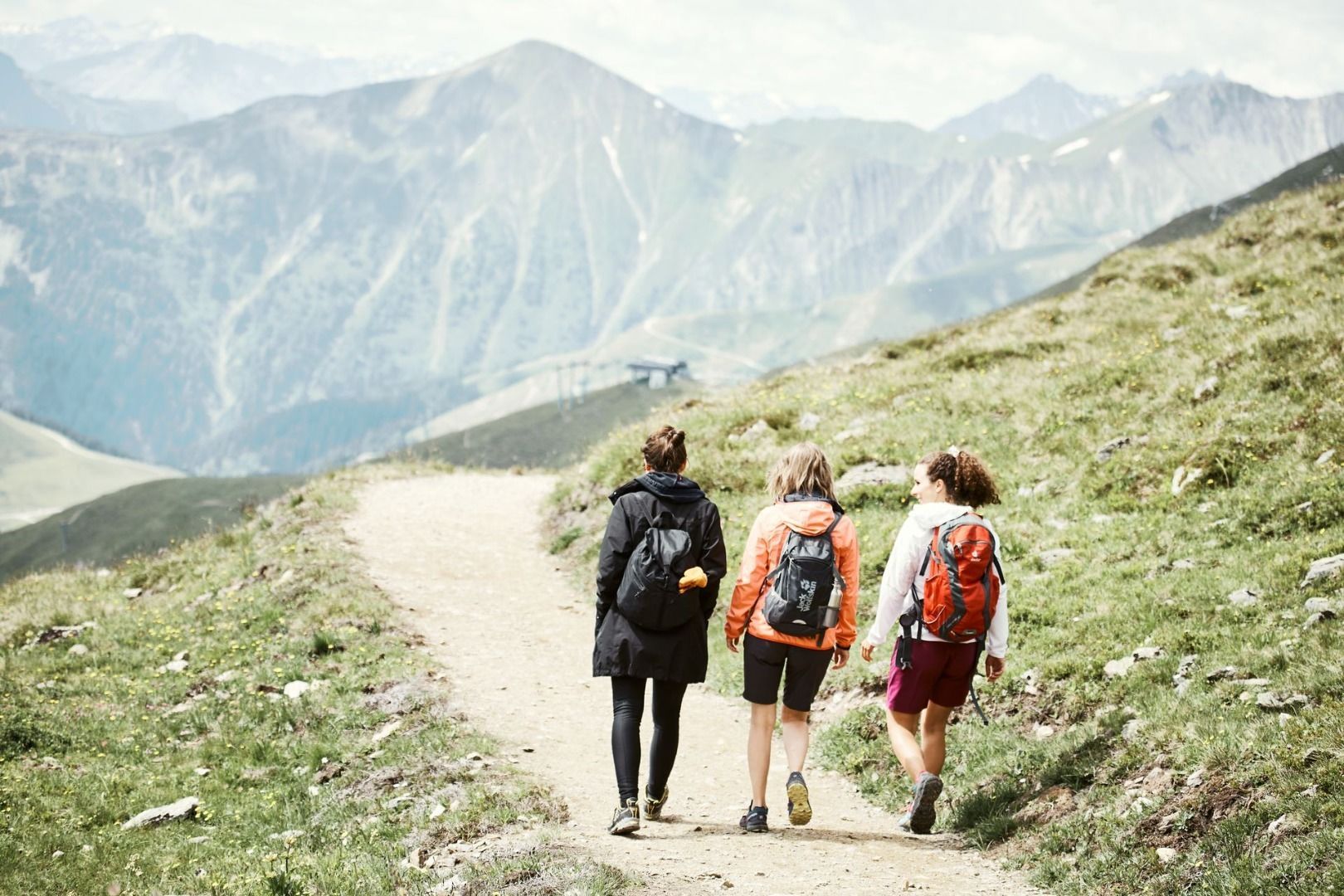
A varied hike from Serfaus into the Inn Valley, featuring peaceful trails and beautiful views.
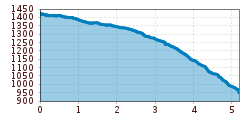
From Serfaus over the Zeno Brücke bridge (S088), then downwards the road to the crossing (S162). Pass the chapel and hike on path no. 5 above village district Stadlwies (S171). Walk right downwards on the gravel trail no. 15 to Tschupbach (S177).
Travel by train to Landeck-Zams railway station. From there, change to bus line 220 towards Serfaus-Fiss-Ladis.
By car, take the A12 to the Landeck exit, then follow the B171 and L19 towards Serfaus. Serfaus has traffic-calmed streets. Day visitors should park their cars in the car park at the entrance to the village and then take the underground to the starting point of the tour. Guests staying in Serfaus can drive right up to their accommodation.
Parking is available at the car park at the entrance to Serfaus. From there, you can take the underground railway to the village centre or the starting point of the tour.


