Mountain hikes Tux-Vorderlanersbach - Schrofenalm - Tux-Vorderlanersbach

Tux / Tux Alps
Difficulty ratings: medium
Route length: 7.7 km
Duration: 3:00 h

A varied tour with a view and history!
Tour information

  • Requirement: medium
  • Length: 7.7 km
  • Duration: 3:00 h
  • Elevation uphill:440 hm
  • Elevation downhill:440 hm
Highest point1,680 m

Features

  • Circular route

Best time of year

  • January
  • February
  • March
  • April
  • May
  • June
  • July
  • August
  • September
  • October
  • November
  • December

Trail condition

Asphalt, gravel, mountain path

Equipment

Sports shoes with good thread sole – BETTER: light hiking shoes

Clotihing suitable for the weather

Sunscreen

Drinks and food

Source: Zillertal Tourismus GmbH

Description

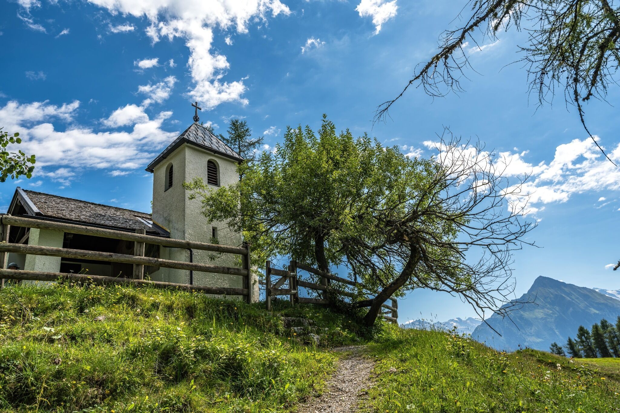
At hotel Tuxerhof (house no. 80) turn right and follow the road in direction Schöneben uphill and turn right at the first cross-road, carrying on up over the bridge (path no. 55), past the Stockbauer farm (house no. 40) to the Schrofenalm (with the Barbara chapel). Make your way back past the former magnesite mine on a broad goods track (path no. 59) back to Tux-Vorderlanersbach.

Getting here

  • Arrival by public transport

    Linienbus 4104
    Bus stop Tux-Vorderlanersbach Rastkogelbahn

  • Parking

    Day parking lot Vorderlanersbach

Weather

Today

mainly clear
10°C/2°C
15%0l5 km/h

Tue

mainly clear
12°C/1°C
45%0.9l5 km/h

Wed

cloudy
14°C/7°C
45%0.6l0 km/h
Go to weather forecast

More tours in the surrounding area

Newsletter

The mountain is calling? So does our newsletter!

In our monthly newsletter we reveal the best holiday tips for Tyrol.