
Opening hours:Open today
Place:
Rettenschöss
:
Restaurant, Alpine pasture / hut / mountain restaurant
A hike over four peaks with breathtaking views (trail nr: 42, 55b, 47a).
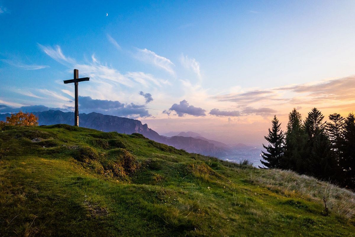
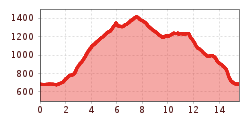
Start in the centre of the village of Rettenschöss. From there, head towards Walchsee to the Staudinger Grotte junction on the left after the bridge. The path leads to an asphalt road, after the car park Kitzbichl keep right and after about 200m follow the hiking trail to the Brennkopf. From Brennkopf, head north to the summit of the Wandberg, where the Wandberghütte (managed) and the Burgeralm (managed) are nearby. Continue downhill via the Rettenbachalmen to the Karspitze. Continue down to the 4th peak of the Staudinger Kreuz. After the descent to the Gasthof Schöne Aussicht follow the municipal road and return over Flecken to the starting point.
In the centre of Rettenschöss. There is no e-charging station.
The parking lot is free of charge with the KW - Card


 Sportalpen (21).jpg")

 Mirja Geh (26).jpg")
