Mountain hikes War memorial circular route

Söll / Kitzbühel Alps
Difficulty ratings: easy
Route length: 2.1 km
Duration: 0:30 h

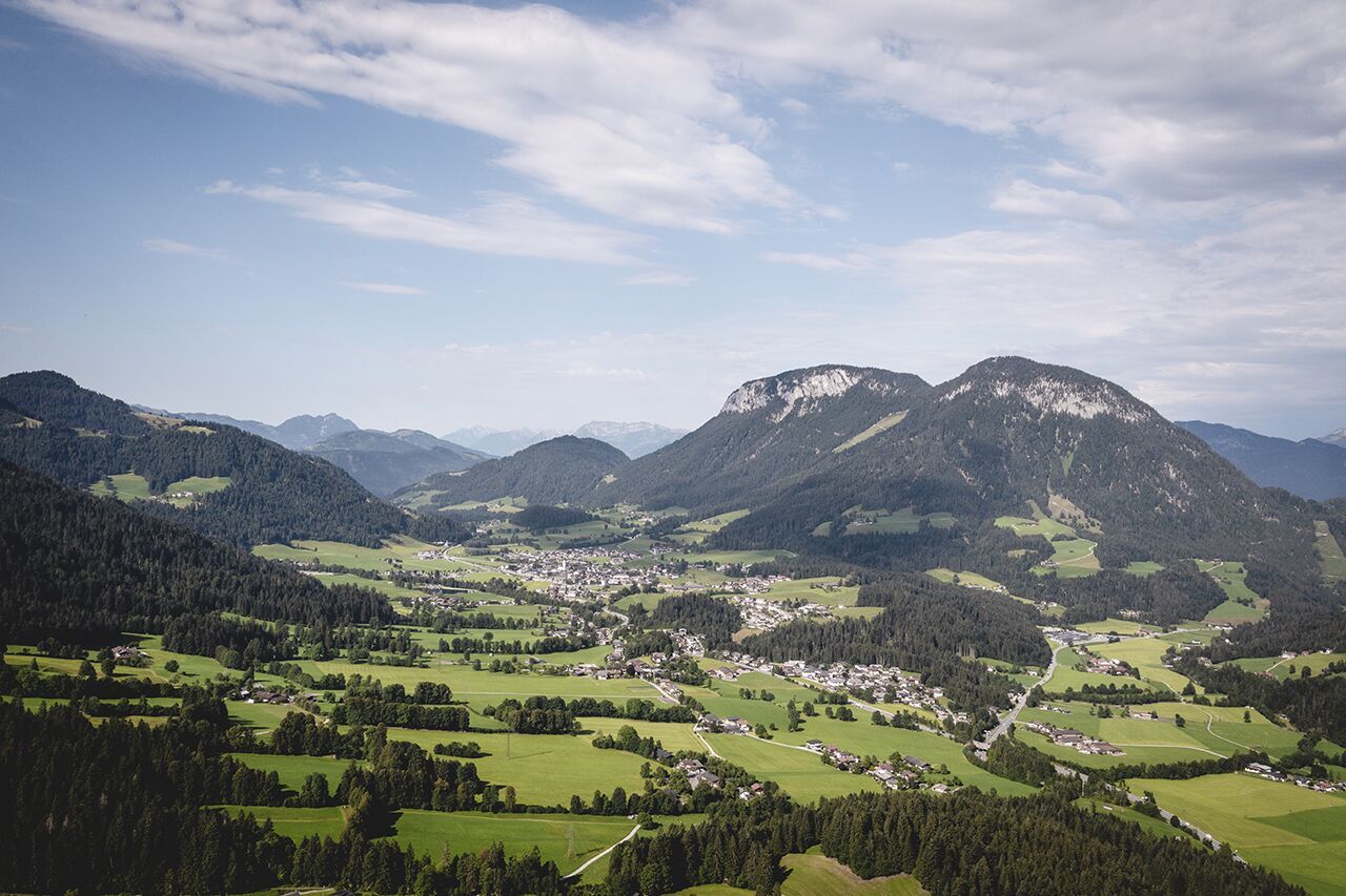
This pleasant circular walk takes you to Söll’s war memorial in a beautiful section of forest.
Tour information

  • Requirement: easy
  • Length: 2.1 km
  • Duration: 0:30 h
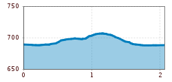
  • Elevation uphill:10 hm
  • Elevation downhill:10 hm
Highest point710 m

Starting point

Hiking starting point Tourist Info, Söll (689 m)

Finishing point

Hiking starting point Tourist Info, Söll (689 m)
  • Fitness level 1 / 6
  • Technique 1 / 6

Features

  • Circular route
  • Suitable for families

Best time of year

  • January
  • February
  • March
  • April
  • May
  • June
  • July
  • August
  • September
  • October
  • November
  • December

Trail condition

The composition of the trail varies between forest road and asphalt road.

Equipment

Hiking boots, sun protection (sunglasses, sun cream, headgear), waterproofs (hardshell), hiking poles if desired.
Source: TVB Wilder Kaiser

Description

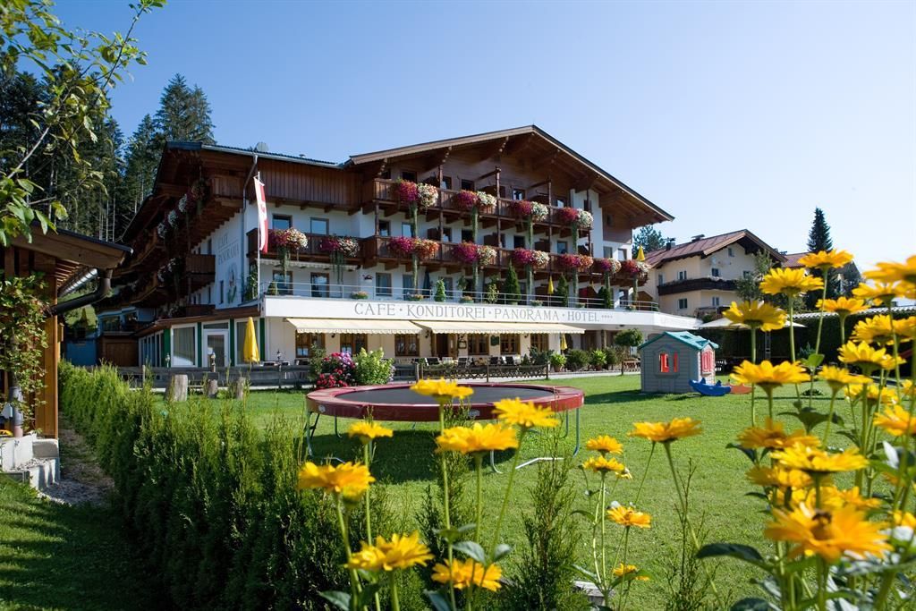
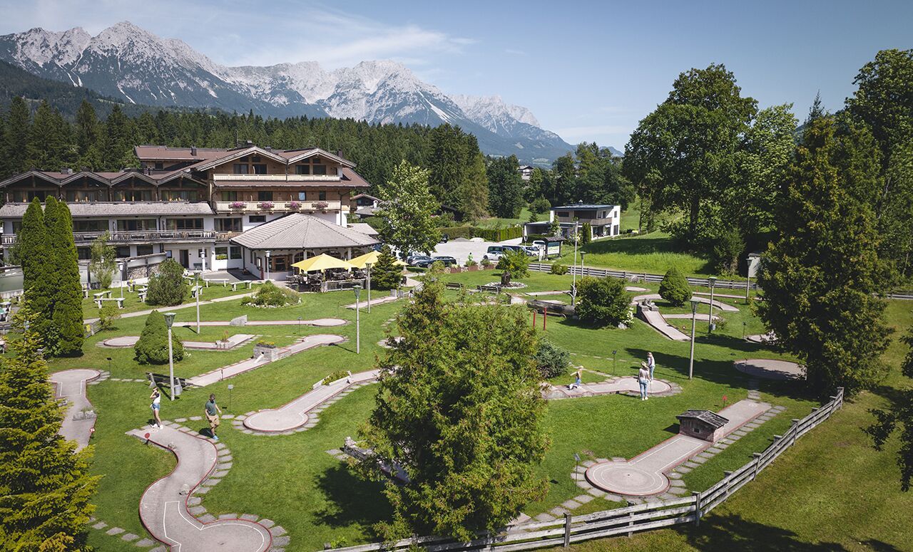
Start in Söll village centre and hike through the district of Dorfbichl to the minigolf course at the Franzlhof leisure centre. After about 100 m, you should leave the road and turn right onto a meadow path. This will bring you to a section of forest, with the memorial on your left. If you feel so inclined, you can now explore the natural surroundings on lots of small paths that snake across the forest far away from any noise. Keep heading towards the Hotel Alpenpanorama, where you can have a coffee break. It’s then an easy hike along the Sonnbichl road back to the village centre.

Nearby huts and mountain restaurants

  • Alpenpanorama

    Opening hours:Today closed
    Place:Söll
    :Restaurant, café
  • Mirabell

    Opening hours:Open today
    Place:Söll
    :café
    see restaurant details: Mirabell
  • Die Krummerei

    Opening hours:Today closed
    Place:Söll
    :Restaurant, Snack bar / StreetFood, café

Getting here

  • Arrival by public transport

    KaiserJet/Postbus stop “Söll Dorf”. More information at: www.wilderkaiser.info

  • Parking

    West Pölven public car park, Söll (689 m) – free

Weather

Today

light rain showers
18°C/9°C
90%15.6l0 km/h

Fri

partly Cloudy
14°C/7°C
20%0l0 km/h

Sat

light rain showers
13°C/6°C
60%6.5l0 km/h
Go to weather forecast

More tours in the surrounding area

  • Kaiserkrone - stage 3

    Difficulty:medium
    Length:9.3 kmDuration:4:30 hElevation uphill:840 m
  • Tauernblick panorama circular hiking route

    Difficulty:medium
    Length:13.6 kmDuration:6:00 hElevation uphill:980 m
  • 3-day hut tour Wilder Kaiser

    Difficulty:difficult
    Length:24.6 kmDuration:14:00 hElevation uphill:2,060 m
  • Hochalm hike

    Difficulty:medium
    Length:19.6 kmDuration:7:00 hElevation uphill:1,140 m
  • Panoramic circuit Brandstadl–Hartkaiser

    Difficulty:easy
    Length:6.0 kmDuration:1:50 hElevation uphill:170 m
  • Hintere Goinger Halt summit tour

    Difficulty:difficult
    Length:9.3 kmDuration:6:30 hElevation uphill:1,090 m
  • “Moor & more” Rocky Way

    Difficulty:easy
    Length:8.0 kmDuration:3:00 hElevation uphill:380 m
  • Astberg circular hiking route

    Difficulty:easy
    Length:1.5 kmDuration:0:30 hElevation uphill:80 m
  • Kaiserkrone - stage 1

    Difficulty:medium
    Length:8.0 kmDuration:4:30 hElevation uphill:1,120 m
  • Eagle Walk Stage 02: Gaudeamushütte - Kaindlhütte

    Difficulty:medium
    Length:15.1 kmDuration:6:30 hElevation uphill:888 m
Newsletter

The mountain is calling? So does our newsletter!

In our monthly newsletter we reveal the best holiday tips for Tyrol.