Mountain hikes Wegscheidbach circuit (former: Kneipp circuit)

Scheffau am Wilden Kaiser / Kaiser Mountains
Difficulty ratings: easy
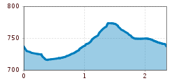
Route length: 2.3 km
Duration: 0:45 h

Walking tour for refreshment and relaxation close to the village.
Tour information

  • Requirement: easy
  • Length: 2.3 km
  • Duration: 0:45 h
  • Elevation uphill:70 hm
  • Elevation downhill:70 hm
Highest point778 m

Starting point

Hiking starting point Tourist Info, Scheffau (738 m)

Finishing point

Hiking starting point Tourist Info, Scheffau (738 m)
  • Fitness level 1 / 6
  • Technique 1 / 6

Features

  • Circular route
  • Suitable for families

Best time of year

  • January
  • February
  • March
  • April
  • May
  • June
  • July
  • August
  • September
  • October
  • November
  • December

Trail condition

The composition of the trail varies between forest trail and short sections of asphalt.

Equipment

Rucksack, sturdy hiking shoes, weather-appropriate hiking gear, sun protection, waterproofs, snack and drink, hiking poles (height adjustable) if required, mobile phone, plastic bag for waste, hiking map, route description and information materials (GPX track), ID, cash
Source: TVB Wilder Kaiser

Description

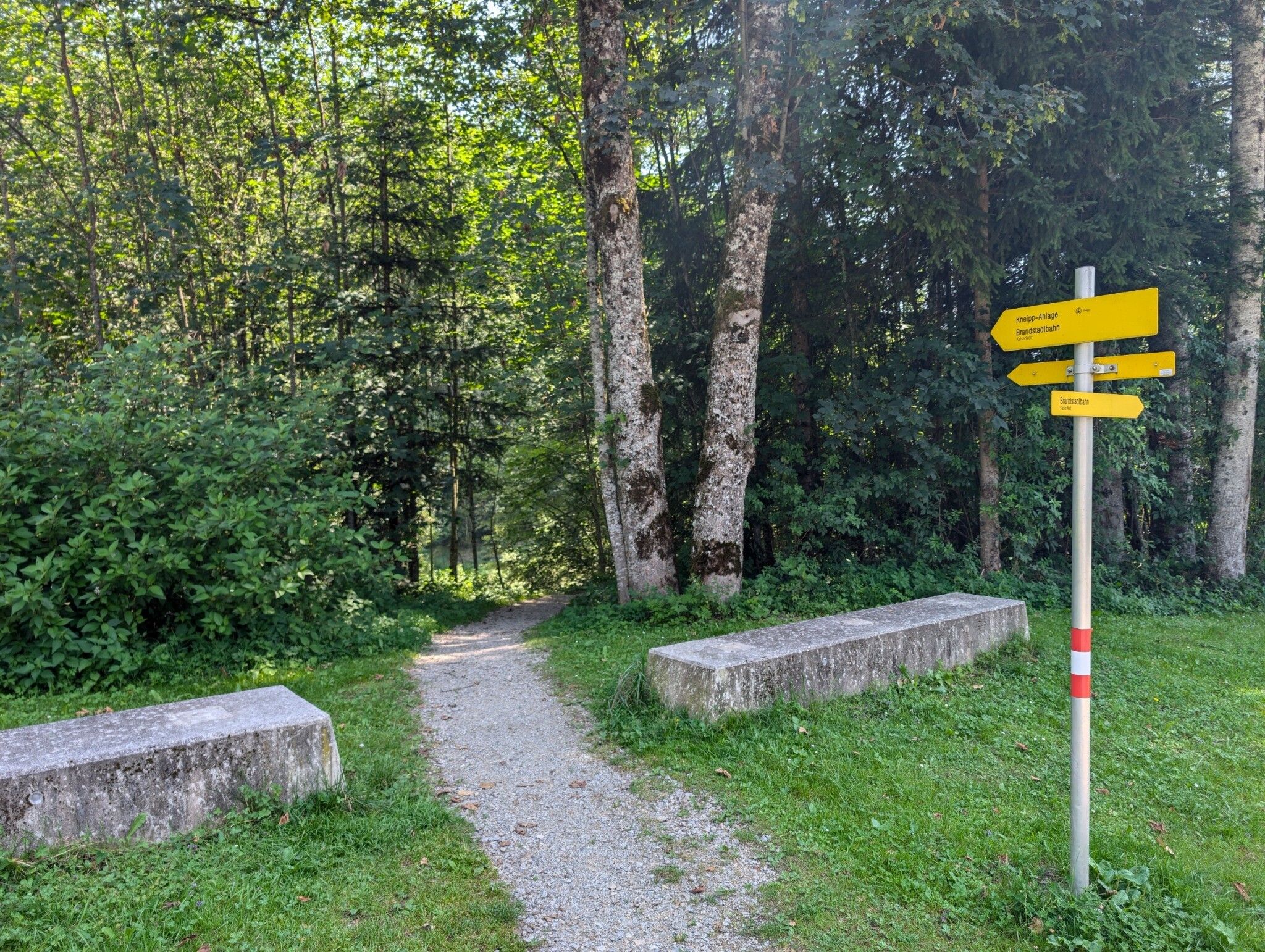
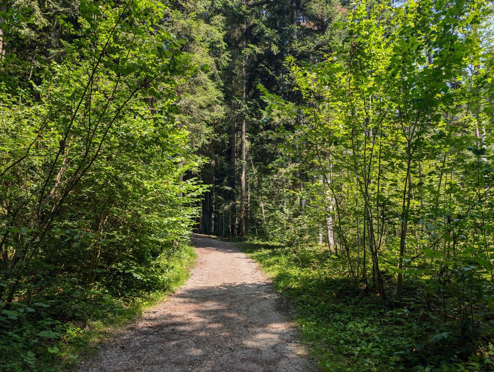
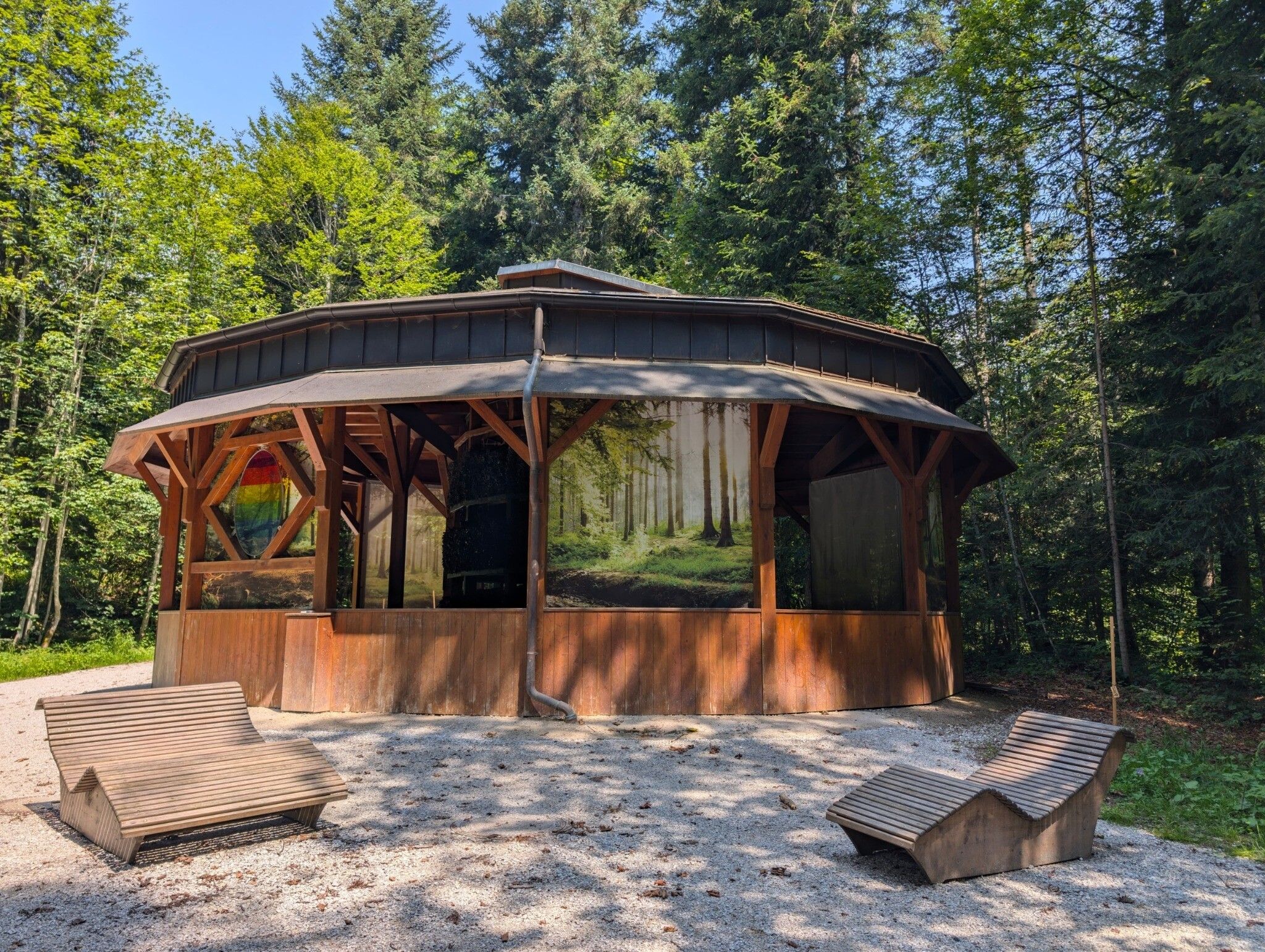
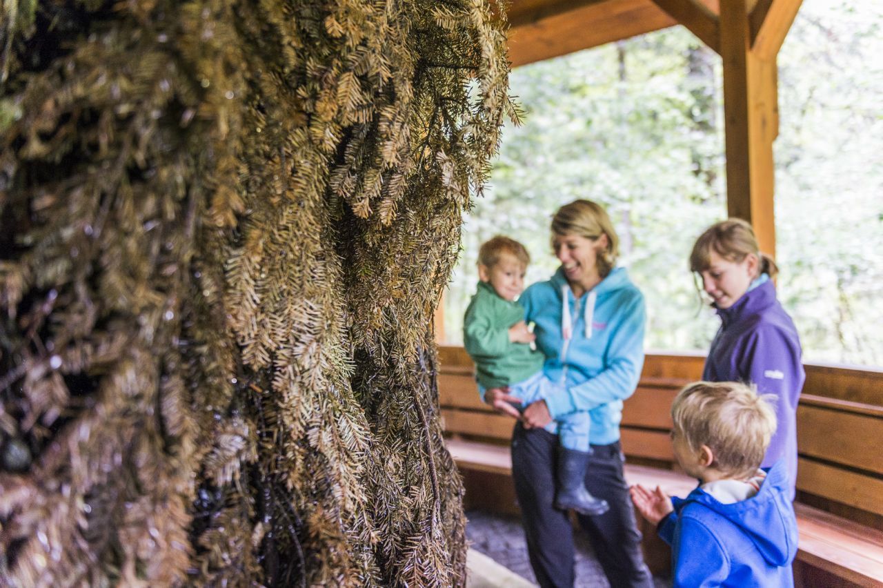
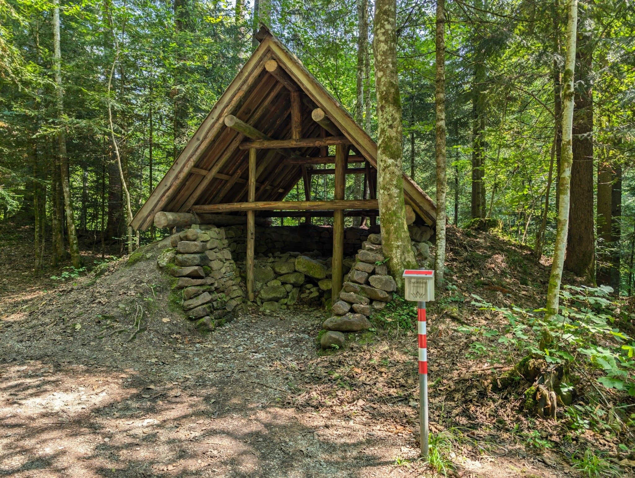
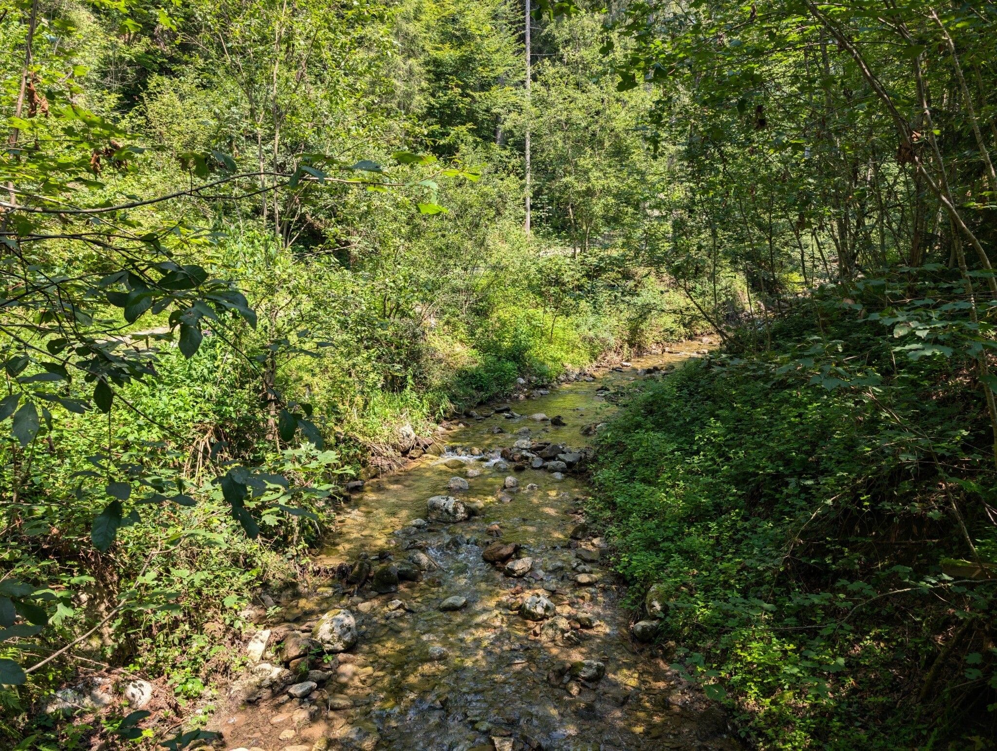
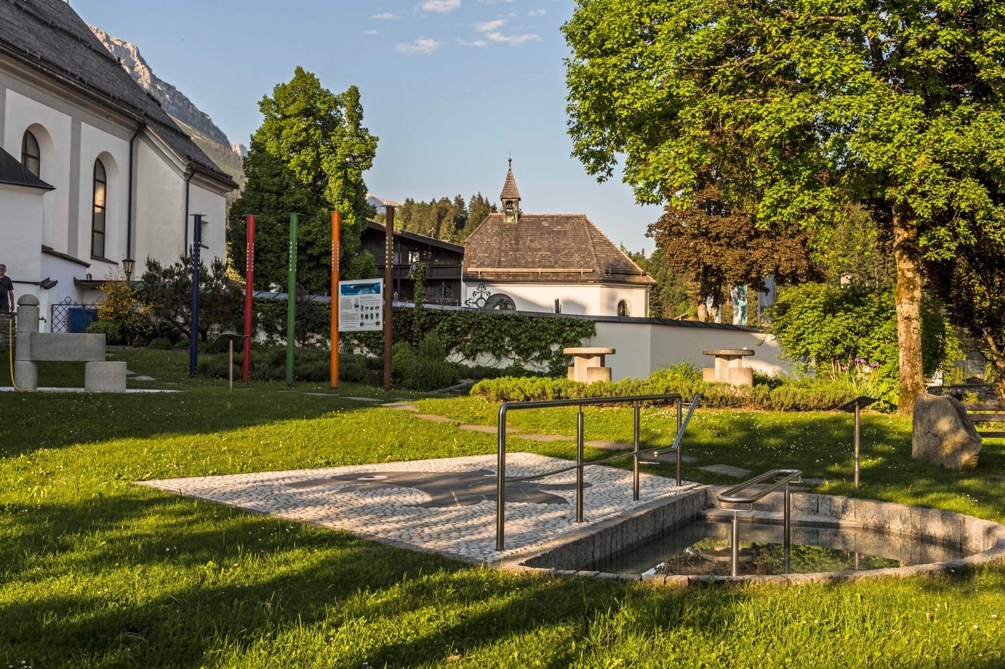
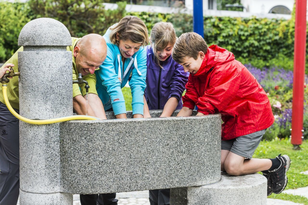
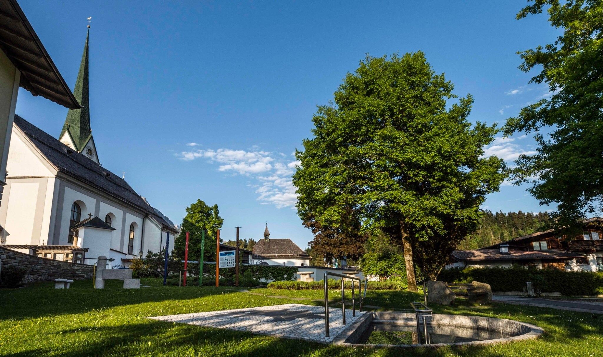
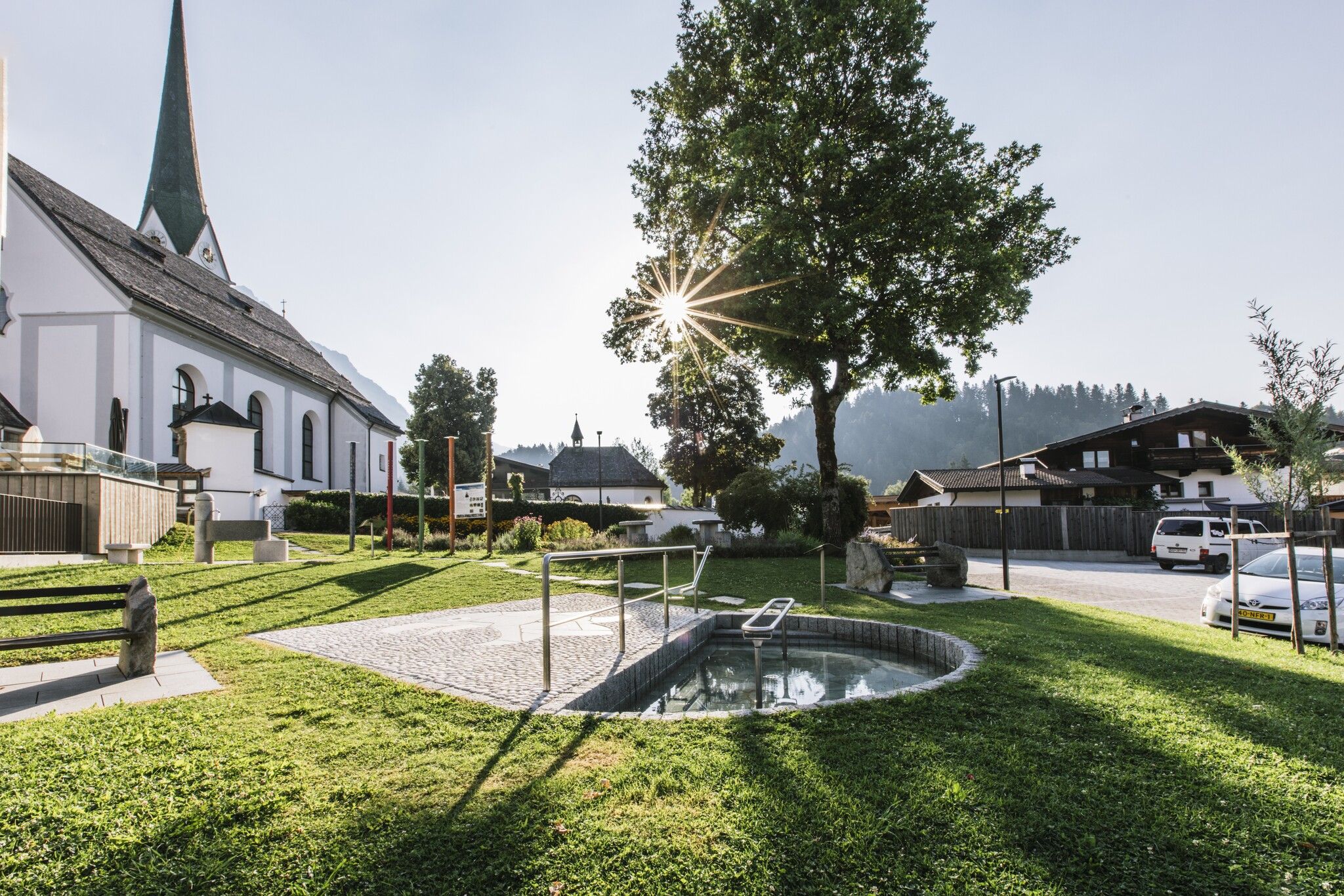
The circuit runs directly next to the village center and follows a forest path along the Wegscheidbach stream. The starting point is the church in the village center. From there, follow the road downhill in a southerly direction. Shortly before the fire station, the path branches off into the forest on the left side. The forest path leads along the Wegscheidbach stream and past rest areas, play stations (from summer 2027), and the open-air inhalatorium (graduation tower), where salt water trickles over fir brushwood. The salty air invites you to take deep breaths and linger for a moment. Continuing along the path, the loop passes the site of an old lime kiln. The path then climbs slightly and leads back into the village. Between the church and the municipal office, the loop ends with a refreshing cool-down in the foot and arm basins.

Nearby huts and mountain restaurants

  • Helenes Kaffee Werk

    Opening hours:Today closed
    Place:Scheffau am Wilden Kaiser
    :Snack bar / StreetFood, café

Getting here

  • Parking

    Heading from Wörgl, Kufstein or St. Johann on the B178 road, take the exit to Scheffau. Shortly before you come to the church, you will see the Tourist Info and the hiking starting point on the left-hand side (short-stay parking zone).
    Public car park, Scheffau (740 m), north of the Community Hall - free

Weather

Today

partly Cloudy
11°C/2°C
20%0l5 km/h

Tue

mainly clear
14°C/2°C
5%0l5 km/h

Wed

light rain
11°C/4°C
70%3.6l5 km/h
Go to weather forecast

More tours in the surrounding area

  • Tauernblick panorama circular hiking route

    Difficulty:medium
    Length:13.6 kmDuration:6:00 hElevation uphill:980 m
  • “Moor & more” Rocky Way

    Difficulty:easy
    Length:8.0 kmDuration:3:00 hElevation uphill:380 m
  • Panoramic circuit Brandstadl–Hartkaiser

    Difficulty:easy
    Length:6.0 kmDuration:1:50 hElevation uphill:170 m
  • Hochalm hike

    Difficulty:medium
    Length:19.6 kmDuration:7:00 hElevation uphill:1,140 m
  • Hintere Goinger Halt summit tour

    Difficulty:difficult
    Length:9.3 kmDuration:6:30 hElevation uphill:1,090 m
  • Kaiserkrone - stage 1

    Difficulty:medium
    Length:8.0 kmDuration:4:30 hElevation uphill:1,120 m
  • Astberg circular hiking route

    Difficulty:easy
    Length:1.5 kmDuration:0:30 hElevation uphill:80 m
  • Eagle Walk Stage 02: Gaudeamushütte - Kaindlhütte

    Difficulty:medium
    Length:15.1 kmDuration:6:30 hElevation uphill:888 m
  • Kaiserkrone - stage 3

    Difficulty:medium
    Length:9.3 kmDuration:4:30 hElevation uphill:840 m
  • 3-day hut tour Wilder Kaiser

    Difficulty:difficult
    Length:24.6 kmDuration:14:00 hElevation uphill:2,060 m
Newsletter

The mountain is calling? So does our newsletter!

In our monthly newsletter we reveal the best holiday tips for Tyrol.