
Opening hours:closed
Place:Zams
:Alpine pasture / hut / mountain restaurant
The first section of the hike leads from the Venetbahn valley station to Rifenal. From there, it continues up to Lahnbach and then on to the Zammer Alm and up to the Krahberg.
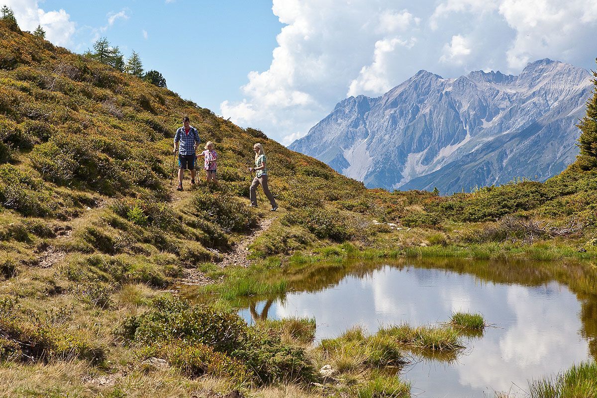
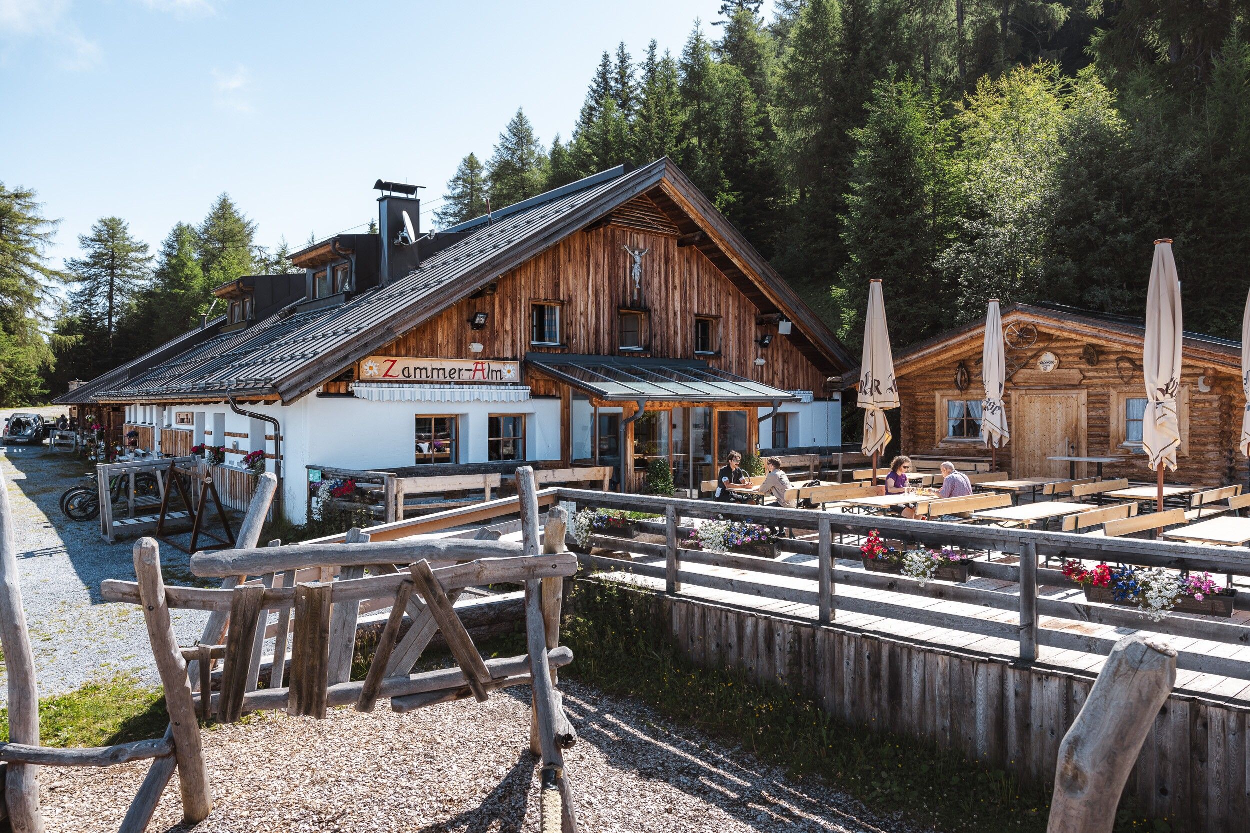
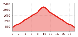
From the valley station of the Venet Berbbahnn, the trail leads along the former railway line to Zammer Oberdorf. In Oberdorf, follow the signs up to the hamlet of Anreit. From there, follow the trail to Rifenal and via Schwaighof to Lahnbach. After about an hour, at the beginning of the hamlet of Lahnbach, turn right onto the forest path. Follow this path steadily uphill to Zammer Alm. The trail leads past Zammer Alm and continues uphill towards Krahberg to the Venetbahn mountain station.
From the Landeck-Zams train station, take Line 1 to the Venetbahn stop (check the SCHEDULE).
Landeck Long-Term Parking Lot at 44 Innstraße


.jpg")


.jpg")


