
Place:
Finkenberg
:
Alpine pasture / hut / mountain restaurant
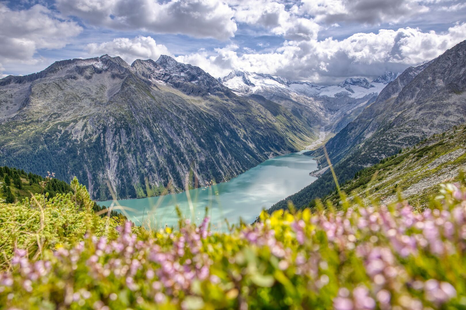
End of the line! At least for the second stage of the Berliner Höhenweg. But even so, it's worth making the Friesenberghütte on the turquoise-blue Friesenbergsee your hiking destination. On the way back, you can also enjoy the magnificent view of the Schlegeis reservoir from the Olperer Hütte.
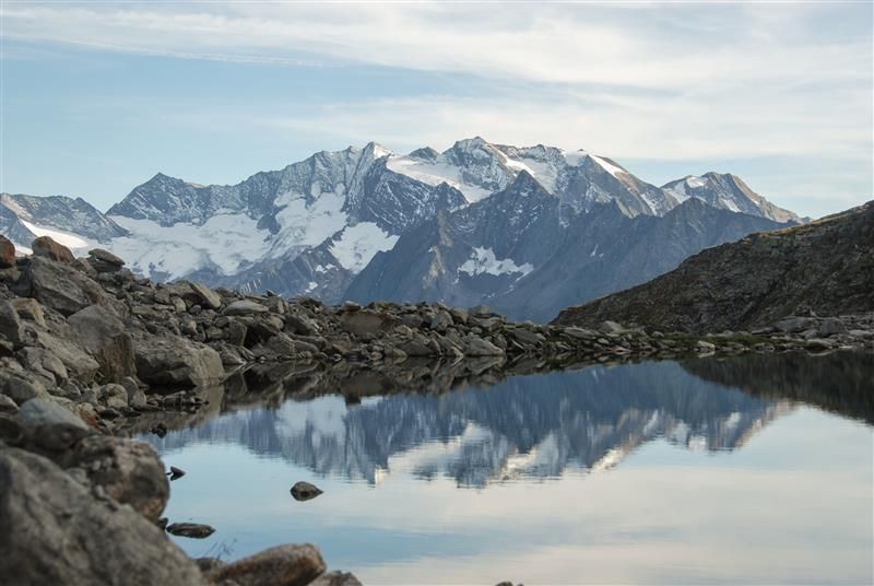
Varied, moderately difficult hike from the Schlegeis reservoir via the idyllic Friesenbergalm to the Friesenberghaus (2,498 m). The route leads through mountain pine fields and the wild Lapenkar before reaching the high-altitude refuge. The location of the hut directly on the lake and with the best views of the Zillertal main ridge is fantastic. From here, summit destinations such as the Hohe Riffler (3,231 m, alpine experience required) or the Petersköpfl (2,679 m, moderately difficult) are possible. If you would like to extend the hut hike to a circular tour, you can continue the hike from the hut via the Berliner Höhenweg to the Olpererhütte. This path runs for a long time through boulder terrain, but there is a wonderfully prepared route made of stone slabs.
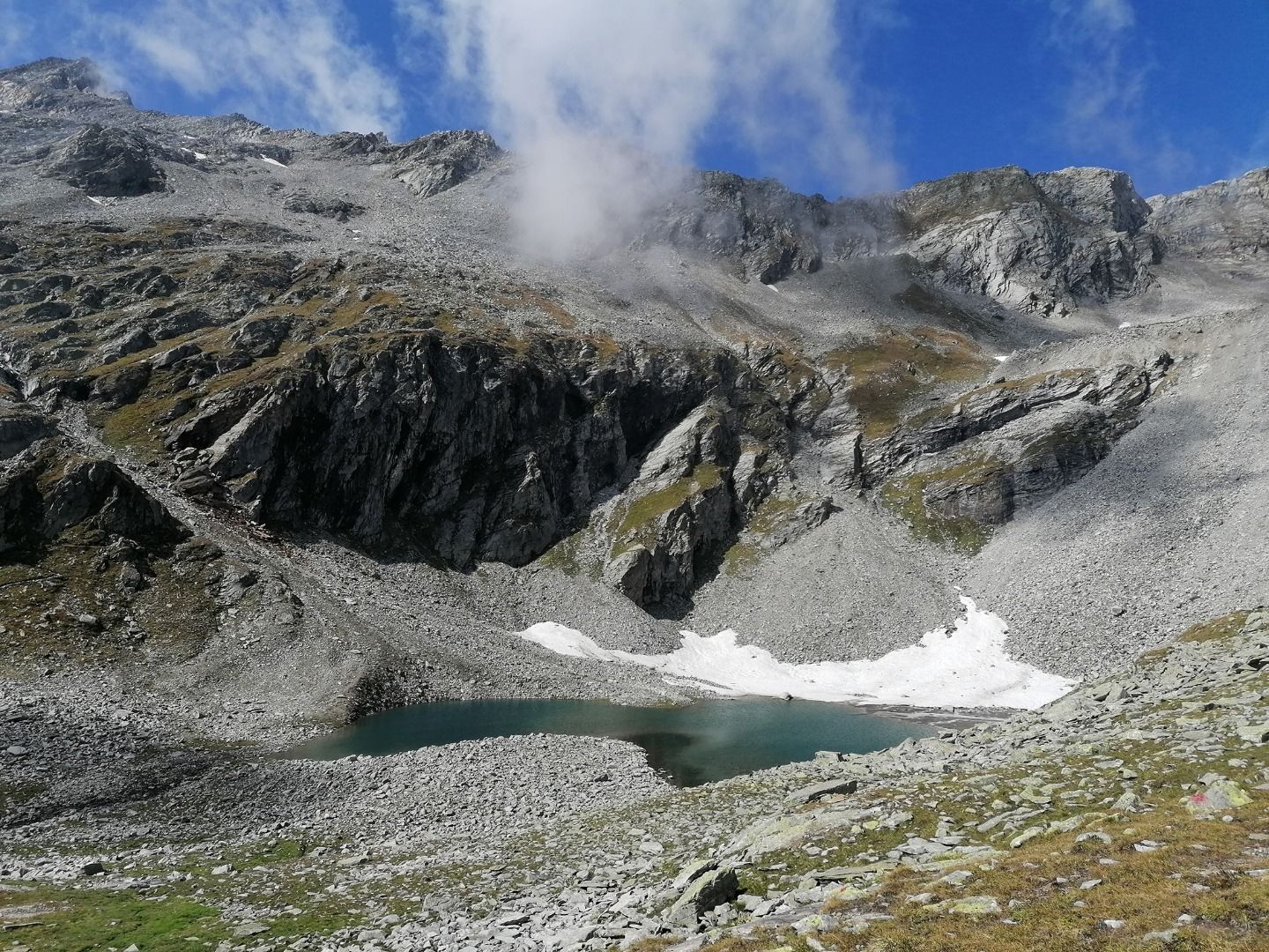
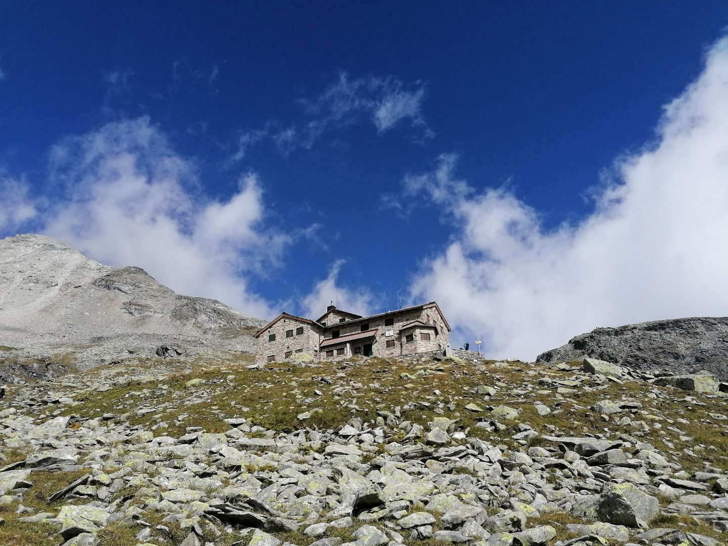
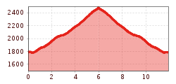
The path to the Friesenberghaus, 2.498 m begins at the Schlegeis Reservoir. Follow trail No. 532, which branches off to the right towards the Dominikushütte, 1.805 m. After crossing the Alelebach, you walk over a dirt road and through a marshy meadow. The trail then leads through dwarf pines to the Friesenbergalm, 2.036 m. From there, it continues into the Lapenkar, from where you will reach the Friesenberghaus, 2.498 m in about 90 minutes. The path ascends gently into the cirque, crosses the Lapenkarbach, and then follows the slope to the hut. There, you will intersect with the Berliner Höhenweg leading to the Olpererhütte, 2.389 m. From the Friesenberghaus, 2.498 m, you can climb the Hoher Riffler, 3.231 m or the nearby Petersköpfl, 2.679 m. You can return via the same path or descend trail No. 530 to the Alpengasthaus Breitlahner, 1.257 m.
Busline: 4102, Stop: Schlegeis Stausee
www.mayrhofen.at/fahrplaene


")


")

