HikingHiking in the Villgratental ValleyA high valley still characterised by mountain farming, combined with centuries-old traditions and sustainable cultivation – that is the Villgratental Valley in East Tirol.
Some of the most unspoilt natural landscapes in the alpine regionCharacterised by traditional architecture and many wooden housesPanoramic views of the Großglockner, Großvenediger and the Dolomites
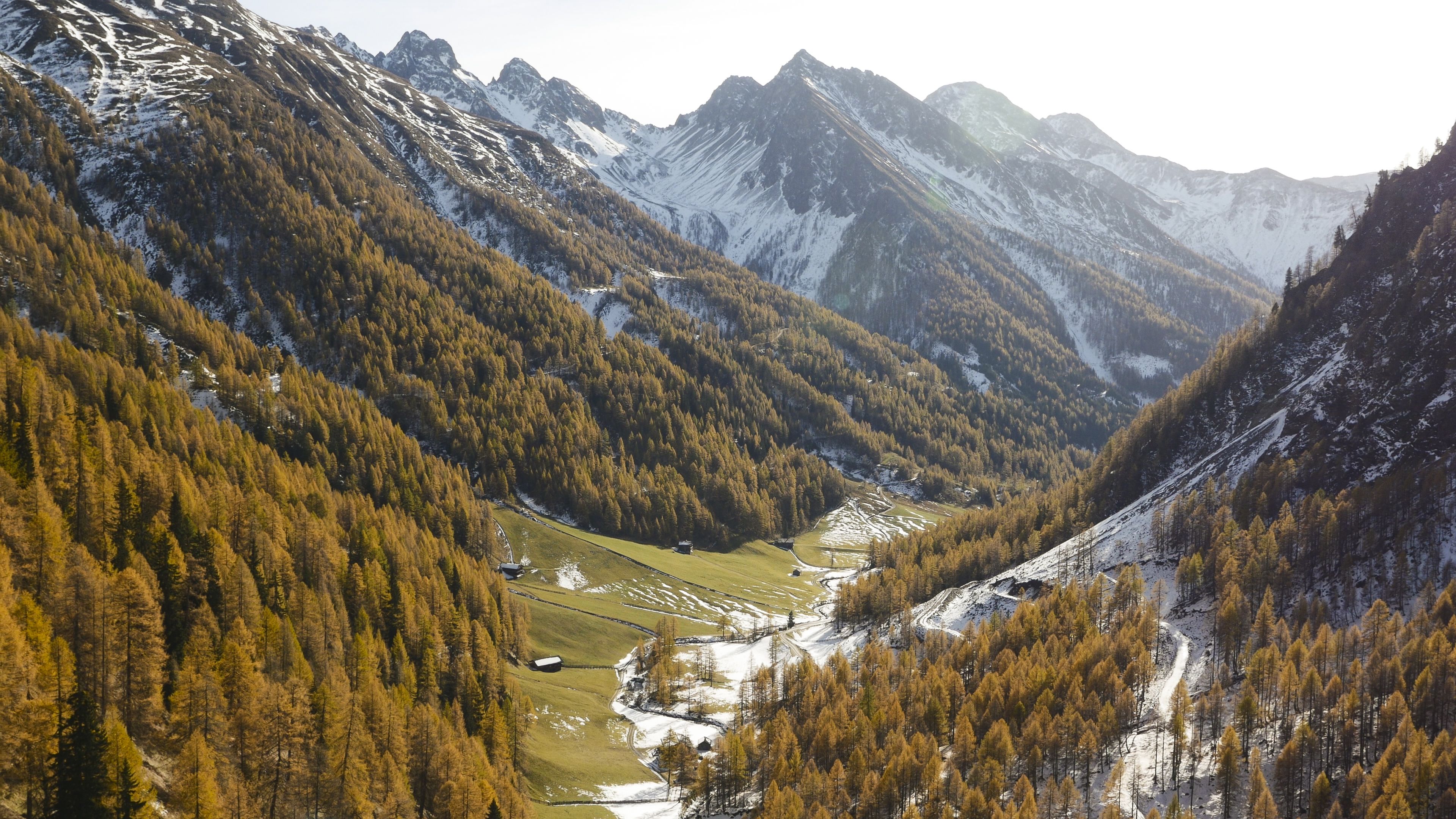
Abstieg in Richtung Oberstalleralm © edifilm75 Herz-Ass VillgratentalDifficulty:mediumLength:75.6 kmDuration:34:00 hElevation uphill:5,703 mSee trailSee trail: Herz-Ass Villgratental
Schwarzsee © Schwarzsee Lake SchwarzseeDifficulty:mediumLength:7.8 kmDuration:3:30 hElevation uphill:790 mSee trailSee trail: Lake Schwarzsee
volkzeiner-huette-außervillgraten-c-german-adventurer.jpg © germanadventurer Volkzeiner HütteDifficulty:easyLength:13.4 kmDuration:3:30 hElevation uphill:370 mSee trailSee trail: Volkzeiner Hütte
Blick auf Rote und Weiße Spitze © TVB Osttirol Rote Spitze 2,956 mDifficulty:mediumLength:10.2 kmDuration:5:30 hElevation uphill:1,260 mSee trailSee trail: Rote Spitze 2,956 m
Toblacher Pfannhorn © Ingrid Bodner Toblacher PfannhornDifficulty:mediumLength:9.8 kmDuration:4:30 hElevation uphill:1,020 mSee trailSee trail: Toblacher Pfannhorn
Give feedback for a chance to win a special holiday experience!Click here for the surveyClick here for the survey