
Opening hours:Today closed
Place:Innervillgraten
:Restaurant, Alpine pasture / hut / mountain restaurant
An expansive summit - here you have plenty of space to enjoy the magnificent view of the Sesto Dolomites.
Easy ascent on a gravel road to the Alfenalm, then up to the Ruschletalm. From there, the path leads gently into the head of the valley and over flower-filled slopes to the Alfneralm. In a westerly direction, the trail climbs steeply up to Pfanntörl before the rocky but easy north-west ridge leads to the summit.
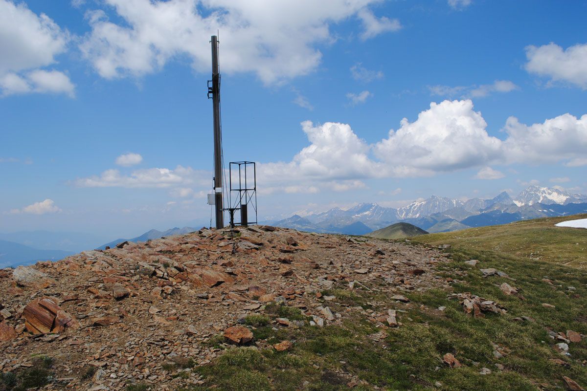
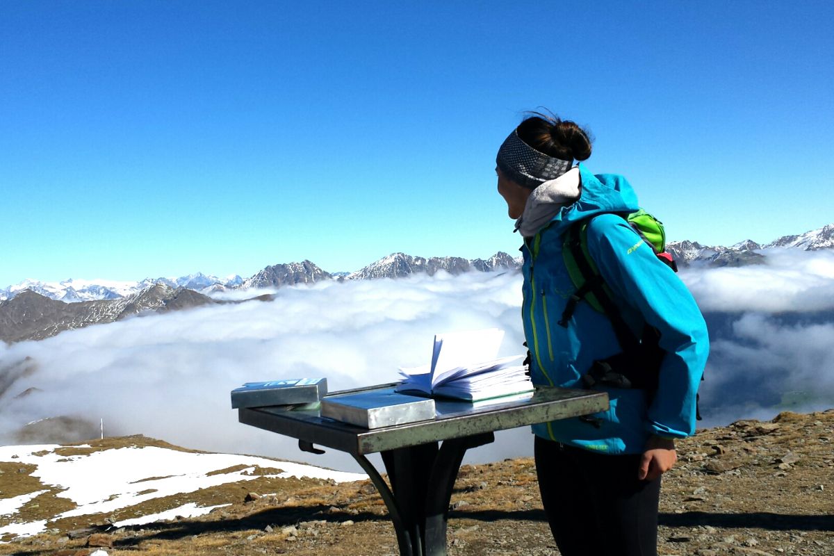
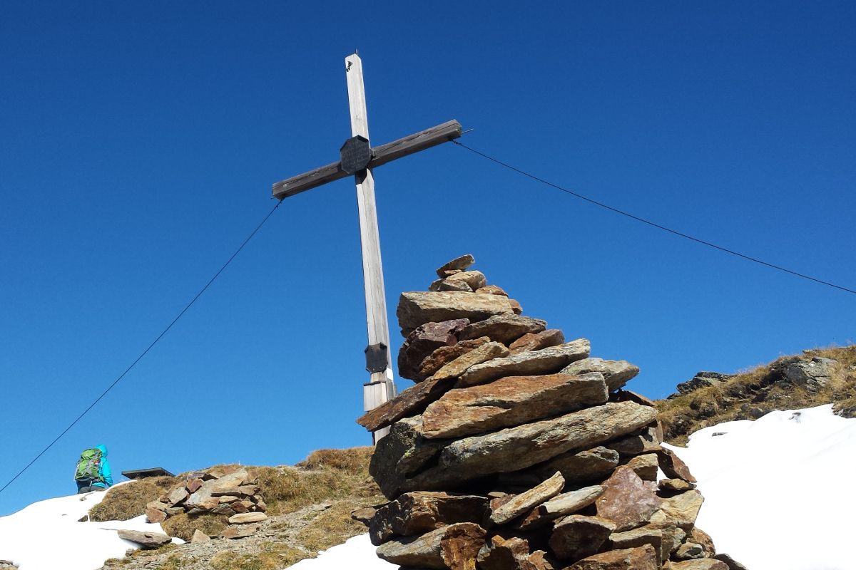
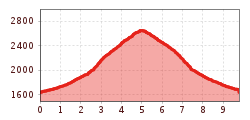
The starting point for this really nice and peaceful hike to the Toblacher Pfannhorn is the pilgrimage town of Kalkstein. Slightly climbing on a gravel trail at first up to the Alfenalm, continuing up to the Ruschletalm (1915 m). Continue on a trouble-free footpath in the head of the valley and across the flower-filled slopes of the Alfneralm. Then in a westerly direction steep up to the Pfanntörl (2508 m). Across the rocky, yet not too difficult north-west ridge, the route proceeds to the big cross on the summit of the Toblacher Pfannhorn, from which you get superb views, among others to the Sexten Dolomites.
Mit dem Bus bis zur Bushaltestelle "Innervillgraten Kalkstein".
Parkplatz Kalkstein


.jpg")
.jpg")
.jpg")

