Mountain hikes Ganalm-Walderalm

Geselhaus / Karwendel
Difficulty ratings: difficult
Route length: 15.4 km
Duration: 4:00 h

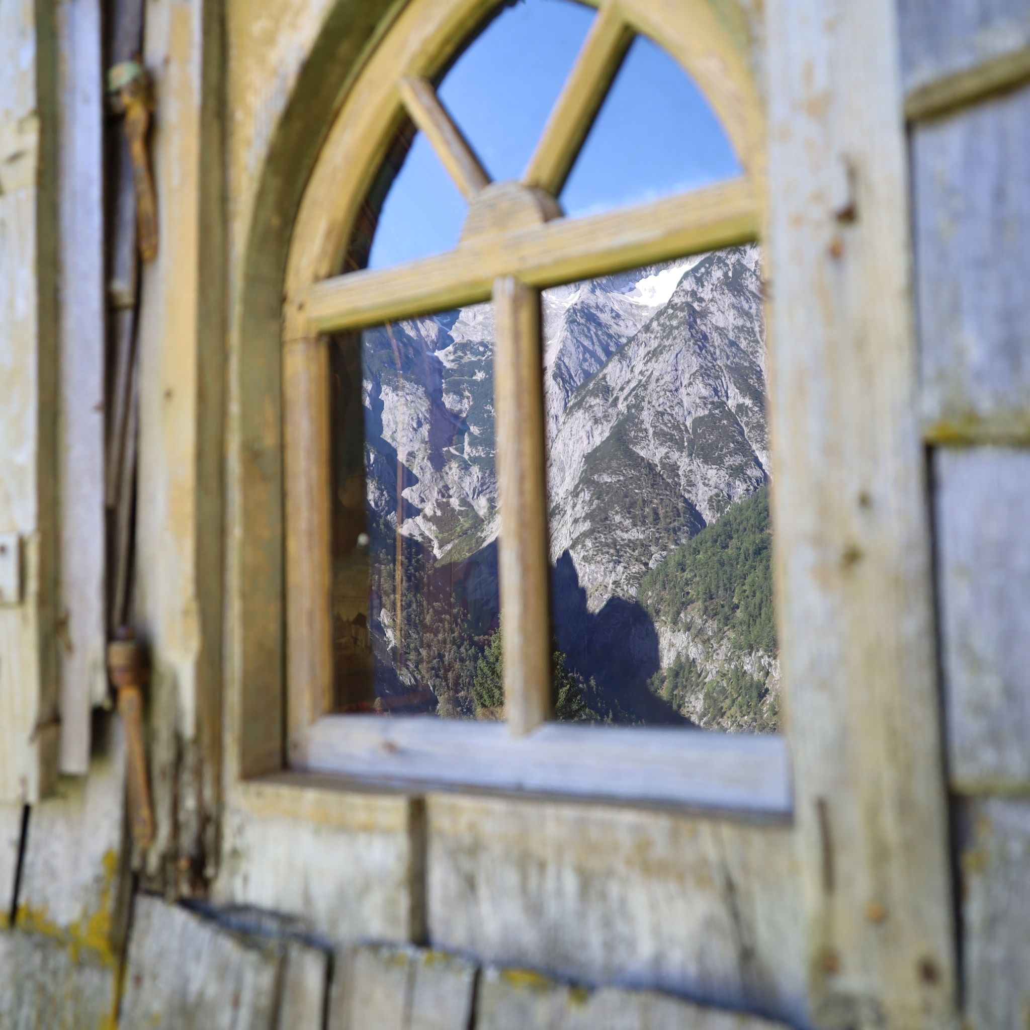
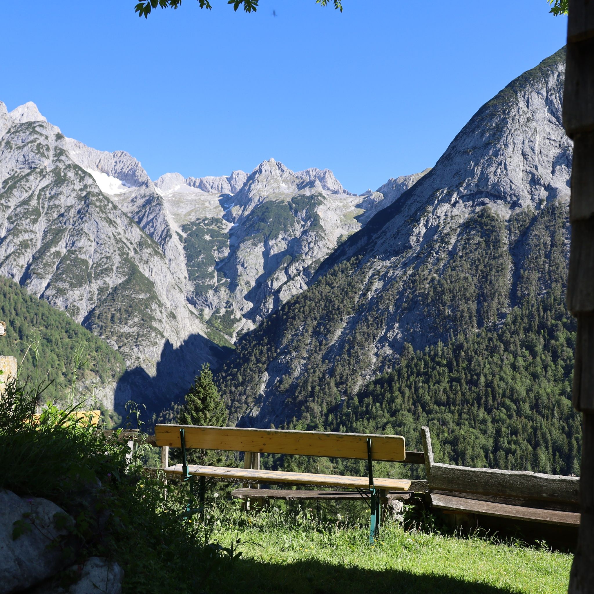
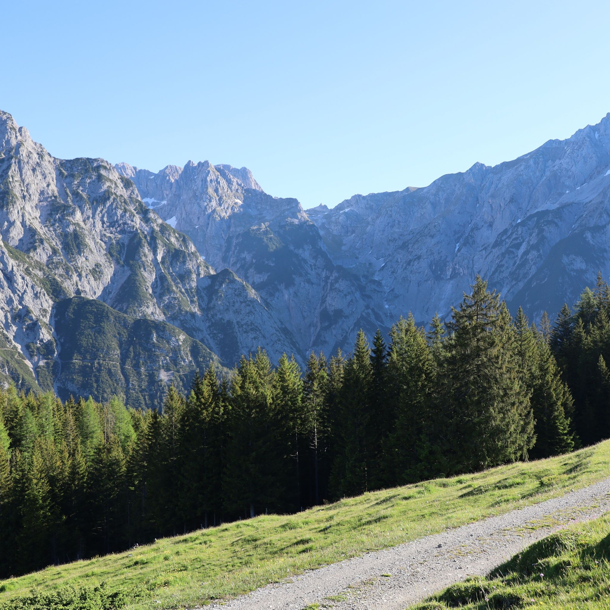
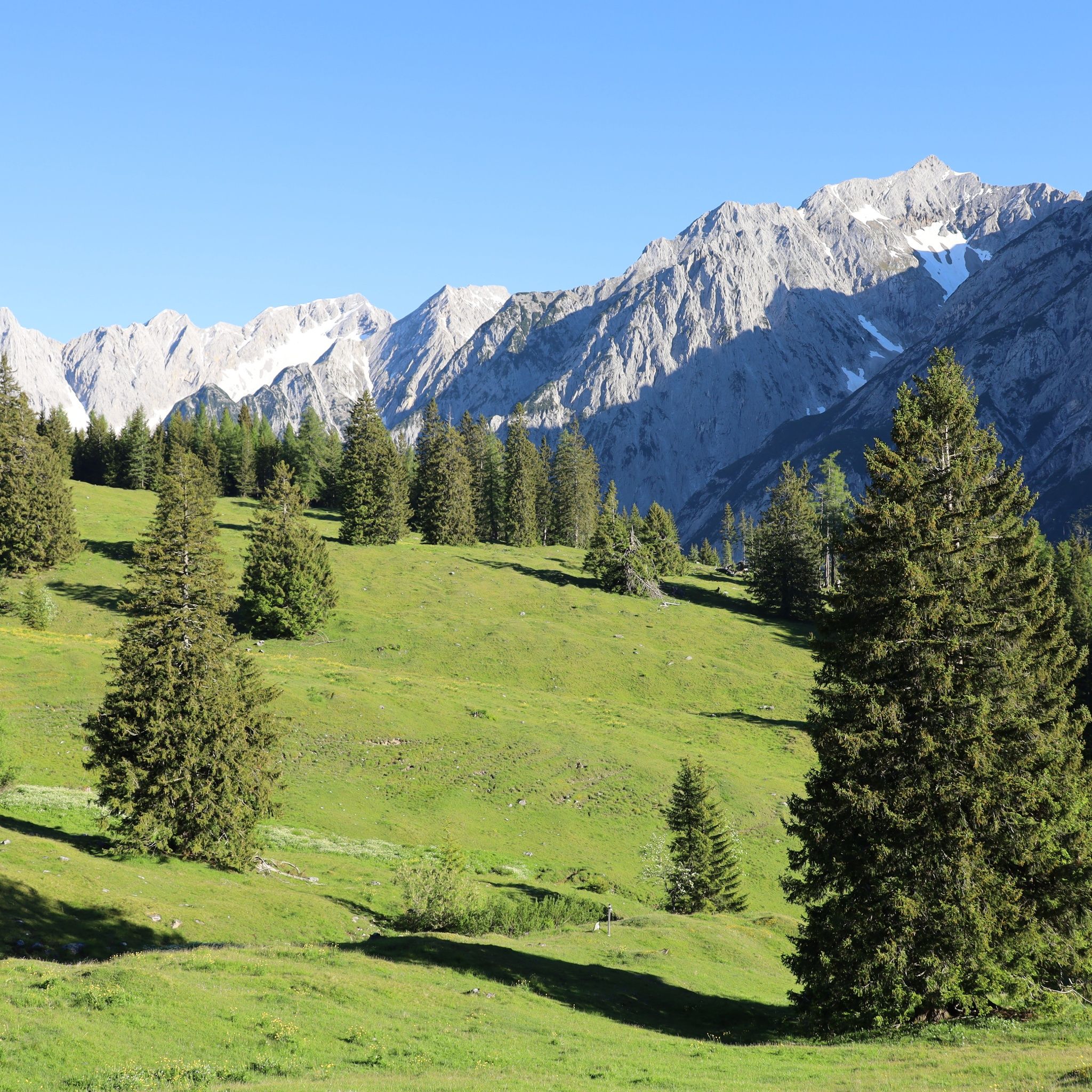
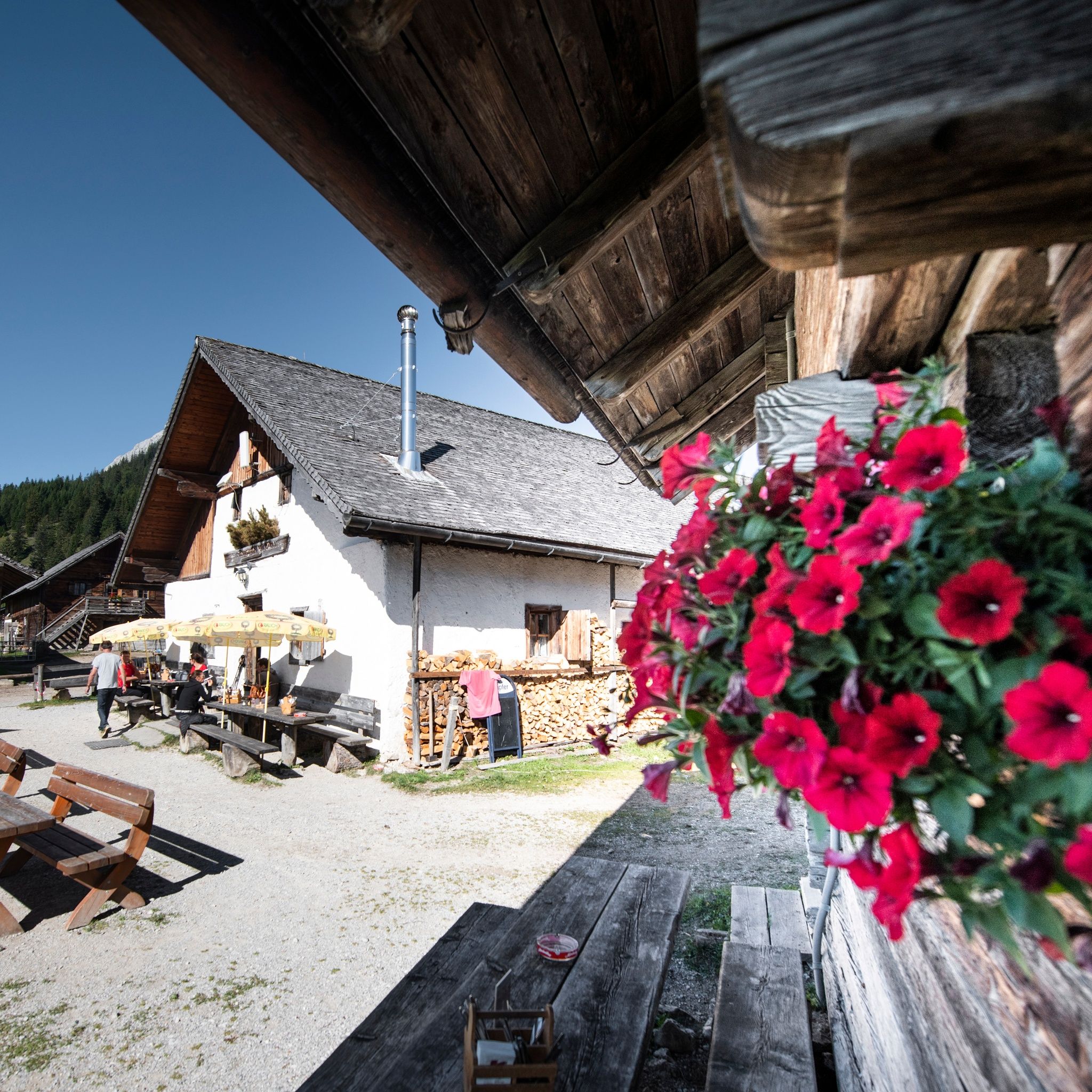
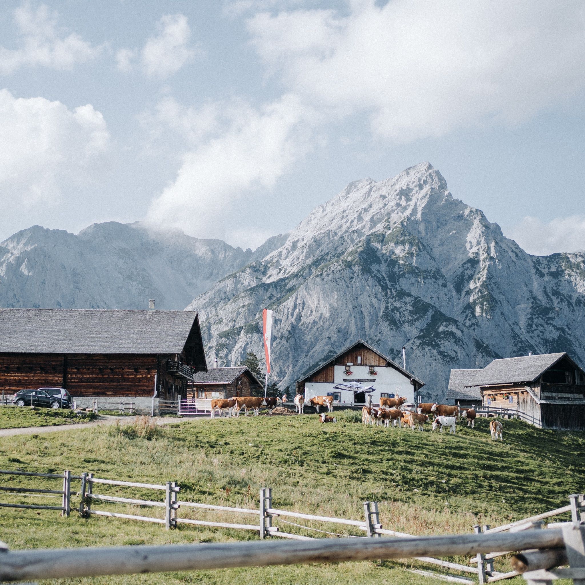
The Walderalm is enthroned on a high plateau in front of the Gleirsch-Halltal mountain range as if on a stage, while the Ganalm is probably the most rustic alpine pasture in the Karwendel. They are the rest stops on this superlative alpine hike.

Tour character

A challenging tour from St. Michael in Gnadenwald via Ganalm and Walderalm, around the ridge of the Walder Joch. 18-kilometre hike, with a break and snack waiting at the mountain huts. Visual treat along the way: fascinating views of the Karwendel and Vomper Loch. The easiest Walderalm variant is recommended for tired legs : from Gnadenwald by car via the toll road to the Hinterhornalm, from there on foot on an easy path in around 30 minutes to the finish.
Tour information

  • Requirement: difficult
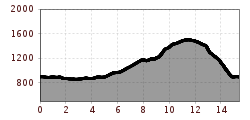
  • Length: 15.4 km
  • Duration: 4:00 h
  • Elevation uphill:662 hm
  • Elevation downhill:672 hm
Highest point1,502 m

Starting point

Gnadenwald, Kranzach

Finishing point

Gnadenwald, Kranzach
  • Fitness level 6 / 6

Best time of year

  • January
  • February
  • March
  • April
  • May
  • June
  • July
  • August
  • September
  • October
  • November
  • December
Source: Hall Wattens

Description

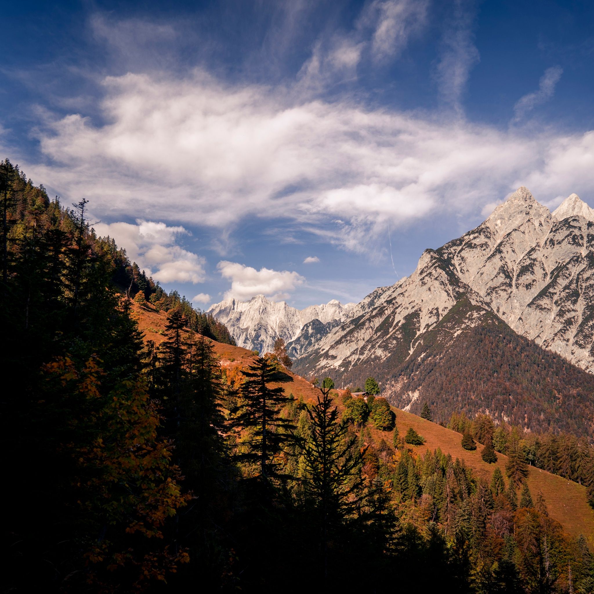
This scenic circular hike mostly leads through forest, yet you can enjoy many views of the mountain landscape. Passing by the Ganalm and Walderalm, there are wonderful vistas.


Getting here

  • Arrival by public transport

    It is possible to reach the starting point from Hall in Tirol by Regiobus 3 (stop Kranzach). Unfortunately, it does not run on Sundays!

  • Parking

    There are paid parking options directly at the starting point.

Weather

Today

moderate rain
14°C/11°C
85%14.8l5 km/h

Fri

light rain showers
18°C/9°C
55%2.4l5 km/h

Sat

clear sky
21°C/7°C
0%0l5 km/h
Go to weather forecast

More tours in the surrounding area

  • Venediger altitude trail

    Difficulty:difficult
    Length:55.5 kmDuration:27:00 hElevation uphill:3,975 m
  • Figerhorn

    Difficulty:difficult
    Length:6.6 kmDuration:6:00 hElevation uphill:811 m
  • Theme path "Virgen crossroads"

    Difficulty:easy
    Length:3.2 kmDuration:1:00 hElevation uphill:104 m
  • Lasörling altitude trail

    Difficulty:medium
    Length:55.4 kmDuration:25:00 hElevation uphill:3,718 m
  • Muhs panorama trail

    Difficulty:medium
    Length:15.2 kmDuration:6:00 hElevation uphill:1,090 m
  • Herz-Ass Villgratental

    Difficulty:medium
    Length:75.6 kmDuration:34:00 hElevation uphill:5,703 m
  • Children's mile Golzentipp

    Difficulty:easy
    Length:3.7 kmDuration:2:00 hElevation uphill:140 m
  • Circular walk church St. Nikolaus

    Difficulty:easy
    Length:5.4 kmDuration:1:39 hElevation uphill:150 m
  • Lasörling 3.098m

    Difficulty:difficult
    Length:22.0 kmDuration:12:00 hElevation uphill:1,940 m
  • Hike to Kalser Tauernhaus

    Difficulty:medium
    Length:12.2 kmDuration:4:00 hElevation uphill:244 m
  • Iseltrail

    Difficulty:medium
    Length:75.3 kmDuration:24:30 hElevation uphill:2,347 m
  • Trail Virgentaler Sonnseitenweg

    Difficulty:medium
    Length:41.9 kmDuration:19:00 hElevation uphill:2,641 m
  • Badener Hütte

    Difficulty:difficult
    Length:23.2 kmDuration:12:00 hElevation uphill:1,754 m
  • Lucknerhaus - Stüdlhütte

    Difficulty:medium
    Length:9.3 kmDuration:4:30 hElevation uphill:862 m
  • Hike to Neuen Reichenberger Hütte

    Difficulty:medium
    Length:18.2 kmDuration:9:00 hElevation uphill:1,252 m
Newsletter

The mountain is calling? So does our newsletter!

In our monthly newsletter we reveal the best holiday tips for Tyrol.