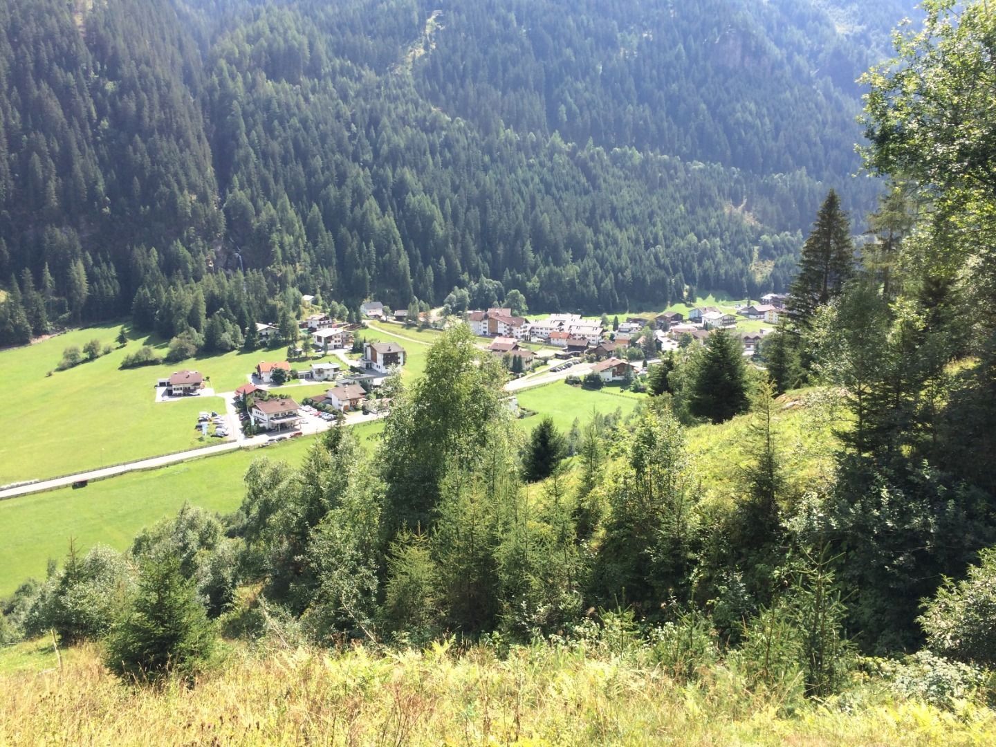
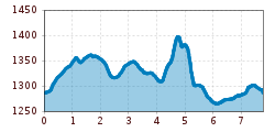
Open interactive mapOpen this POI on the interactive mapElevation profiledownloadTalwanderweg - über Brunnebele.gpx
Kaiserjochhaus © Lechtal Tourismus Lechtaler Höhenweg: 3. Etappe Kasierjochhaus-Ansbacher HütteDifficulty:difficultLength:7.8 kmDuration:4:45 hElevation uphill:844 mSee trailSee trail: Lechtaler Höhenweg: 3. Etappe Kasierjochhaus-Ansbacher Hütte
Wildschönau Auffach Schatzberg Familienwanderung.jpg © Wildschönau Tourismus Johannes Sautner Rechte Skijuwel und Wildschönau Schatzberg and Joel SpitzeDifficulty:mediumLength:7.3 kmDuration:3:00 hElevation uphill:400 mSee trailSee trail: Schatzberg and Joel Spitze
Langlaufloipe A5 Obern © Region Seefeld, Moritz Klee Obern trail: adaptive cross-country skiing in Leutasch (A5)Opening hours:closedDifficulty:easyLength:5.3 kmElevation uphill:29 m:Style: Skating, ClassicGo to Cross-country skiing trailGo to Cross-country skiing trail: Obern trail: adaptive cross-country skiing in Leutasch (A5)
Gamsgarten Trail at the Stubai Glacier (10)Opening hours:closedDifficulty:mediumDuration:0:22 hElevation uphill:38 m:Style: Skating, ClassicGo to Cross-country skiing trailGo to Cross-country skiing trail: Gamsgarten Trail at the Stubai Glacier (10)
Langlaufausrüstung © Achensee Tourismus S5 - Pulverer Mahd loopOpening hours:closedDifficulty:difficultLength:6.5 kmDuration:1:30 hElevation uphill:167 m:Style: Skating, ClassicGo to Cross-country skiing trailGo to Cross-country skiing trail: S5 - Pulverer Mahd loop
Der Murmliweg in Serfaus © © Serfaus-Fiss-Ladis Marketing GmbH Marmot TrailOpening hours:openDifficulty:easyLength:573 mDuration:0:20 hElevation uphill:12 mSee trailSee trail: Marmot Trail
©-TVB-Tiroler-Oberland-Nauders-Rudi-Wyhlidal-Langlaufen-Mutzkopf-2018 (14).jpg © Rudi Wyhlidal MoasloipeOpening hours:closedDifficulty:mediumLength:8.0 kmElevation uphill:140 m:Style: Skating, ClassicGo to Cross-country skiing trailGo to Cross-country skiing trail: Moasloipe
Kasseler Hütte © Reinhard Weber Stage Berliner Höhenweg (Zillertal Runde): Kasseler Hütte - EdelhütteDifficulty:difficultLength:13.0 kmDuration:9:00 hElevation uphill:800 mSee trailSee trail: Stage Berliner Höhenweg (Zillertal Runde): Kasseler Hütte - Edelhütte
Reschenloipe Nauders - StandardloipeOpening hours:closedDifficulty:mediumLength:6.5 kmElevation uphill:25 m:Style: Skating, ClassicGo to Cross-country skiing trailGo to Cross-country skiing trail: Reschenloipe Nauders - Standardloipe
Nauders mountain trailDifficulty:mediumLength:18.0 kmDuration:7:00 hElevation uphill:407 mSee trailSee trail: Nauders mountain trail
Winter- und Schneeschuhwandern (c) Mirja Geh (26).jpg © Mirja Geh At the foot of Fleischbank and TotenkirchlDifficulty:easyLength:9.3 kmDuration:3:00 hElevation uphill:250 mGo to winter hikeGo to winter hike: At the foot of Fleischbank and Totenkirchl
The Zirbenweg trailDifficulty:easyLength:7.0 kmDuration:2:30 hElevation uphill:200 mSee trailSee trail: The Zirbenweg trail
img_9853.jpg © @ualm.at 3-hut hikeDifficulty:mediumLength:13.2 kmDuration:6:00 hElevation uphill:1,120 mSee trailSee trail: 3-hut hike
Naturparkhaus_mit Wanderer.JPG © TVB Pitztal Kaunergrat Circular Route - 7 DaysDifficulty:difficultLength:66.4 kmElevation uphill:5,496 mSee trailSee trail: Kaunergrat Circular Route - 7 Days
Abstieg in Richtung Oberstalleralm © edifilm75 Herz-Ass VillgratentalDifficulty:mediumLength:75.6 kmDuration:34:00 hElevation uphill:5,703 mSee trailSee trail: Herz-Ass Villgratental
St. Sigmund - Pforzheimer Hütte mountain hut (145)Difficulty:mediumLength:14.1 kmDuration:5:00 hElevation uphill:781 mSee trailSee trail: St. Sigmund - Pforzheimer Hütte mountain hut (145)
sommer-steinbockmarsch-foto-dominic-ebenbichler © Archiv TVB Mayrhofen Stage of the Berliner Höhenweg (Zillertal Runde): Berliner Hütte - Greizer HütteDifficulty:difficultLength:10.2 kmDuration:6:30 hElevation uphill:1,200 mSee trailSee trail: Stage of the Berliner Höhenweg (Zillertal Runde): Berliner Hütte - Greizer Hütte
Stage of the Berliner Höhenweg (Zillertal Runde): Greizer Hütte - Kasseler HütteDifficulty:difficultLength:9.8 kmDuration:6:00 hElevation uphill:650 mSee trailSee trail: Stage of the Berliner Höhenweg (Zillertal Runde): Greizer Hütte - Kasseler Hütte
Großer MutzkopfDifficulty:easyLength:10.3 kmDuration:4:00 hElevation uphill:507 mSee trailSee trail: Großer Mutzkopf
Karwendelhaus mit Bergpanorama © Region Seefeld, Miriam Mayer Karwendelmarsch 52 kmDifficulty:mediumLength:53.5 kmDuration:19:00 hElevation uphill:2,180 mSee trailSee trail: Karwendelmarsch 52 km
495 - Singletrail Isskogel (495 Iss-Tough 1-2)Opening hours:openDifficulty:mediumLength:300 mDuration:0:06 hElevation uphill:9 mGo to biketourGo to biketour: 495 - Singletrail Isskogel (495 Iss-Tough 1-2)
Wanderer vor der Nördlinger Hütte © Region Seefeld, newcreatings Hike via Nördlinger Hütte to Reither SpitzeDifficulty:difficultLength:9.9 kmDuration:7:30 hElevation uphill:1,190 mSee trailSee trail: Hike via Nördlinger Hütte to Reither Spitze
JuifenalmDifficulty:mediumLength:9.5 kmDuration:3:30 hElevation uphill:585 mSee trailSee trail: Juifenalm
muhs-pyramide-panoramaweg-herbst23-c-anna-ladstaetter.jpeg © Anna Ladstätter Muhs panorama trailDifficulty:mediumLength:15.2 kmDuration:6:00 hElevation uphill:1,090 mSee trailSee trail: Muhs panorama trail
©-TVB-Tiroler-Oberland-Nauders-Rudi-Wyhlidal-Langlaufen-Mutzkopf-2018 (14).jpg © Rudi Wyhlidal Langlaufroute Schwarzer SeeOpening hours:closedDifficulty:difficultLength:10.0 kmElevation uphill:200 m:Style: Skating, ClassicGo to Cross-country skiing trailGo to Cross-country skiing trail: Langlaufroute Schwarzer See
Give feedback for a chance to win a special holiday experience!Click here for the surveyClick here for the survey


alexandraerhart-27.jpeg")


.jpg")

.jpg")
.jpg")
 Mirja Geh (26).jpg")


.jpg")


