Arrival by public transport
Hiking bus from mid-May to mid-October (more information to follow)
the "King's Route" in Wildschönau
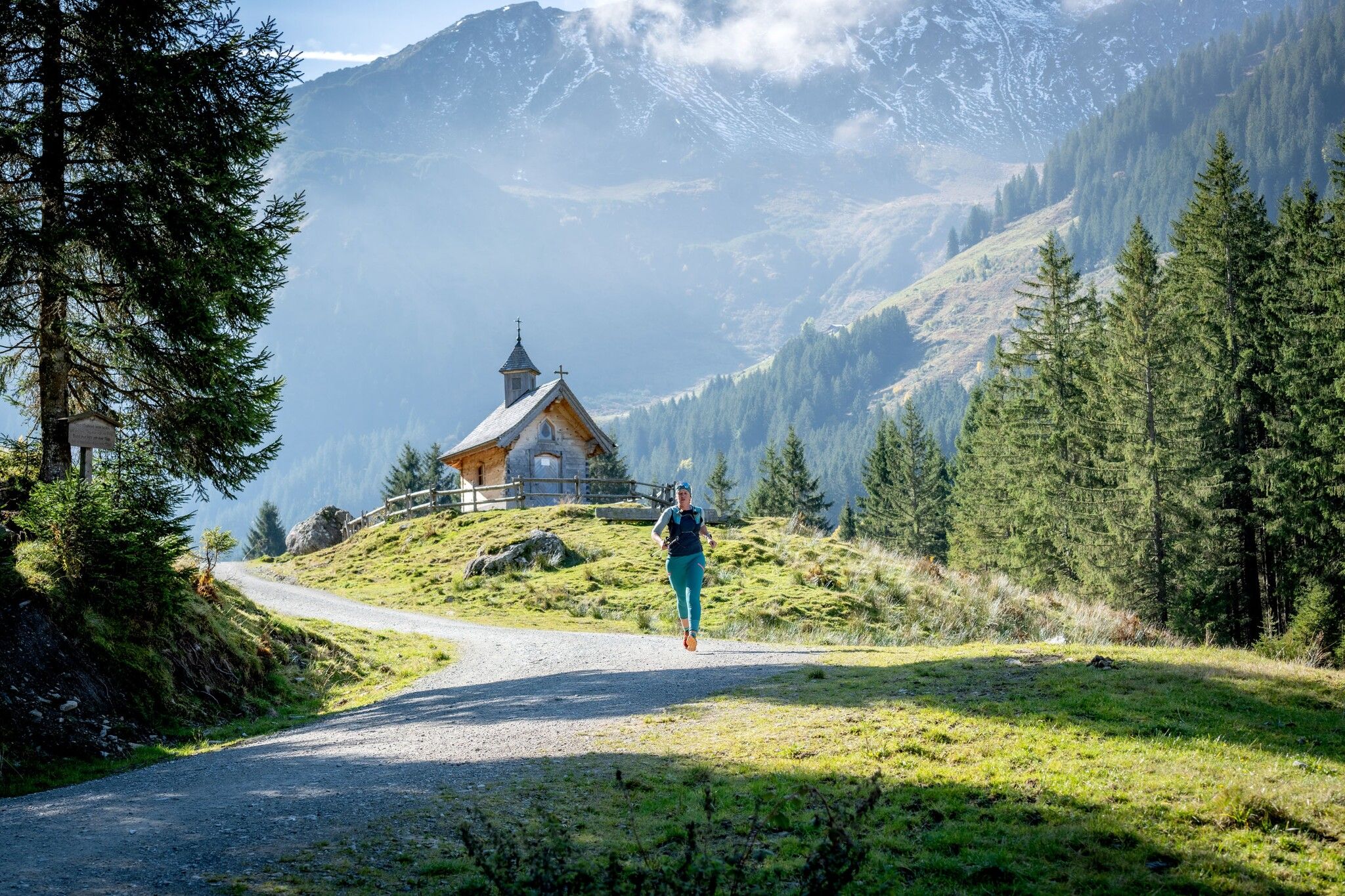
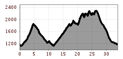
This circular tour connects several of the most beautiful peaks of the Wildschönau region into a challenging trail running route.
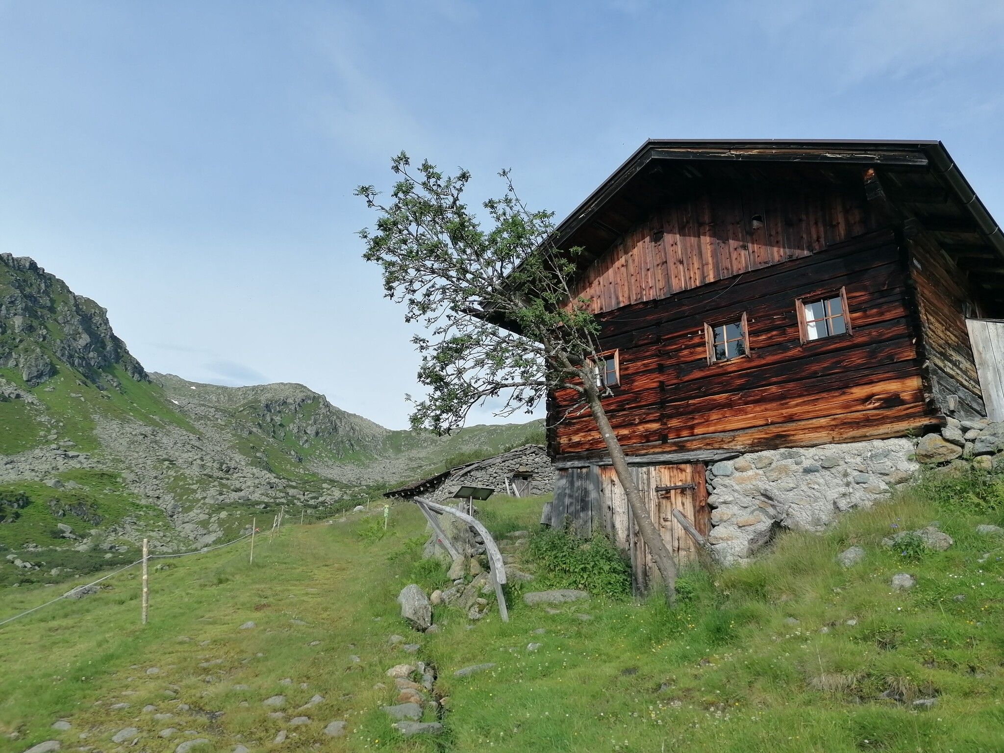
The starting point is the Schönanger Alm. From there, the route leads down the valley to the left along a gravel path towards the Hönigkaseralm, before the climb becomes steeper and continues to the Baumgartenalm.
A few meters above the Baumgartenalm, you reach a junction where you keep left.
The route then descends, past the Neuhögenalm, to the Mitterbergalm. From there, another climb begins towards the Schatzberg,
leading to the reservoir near the mountain station.
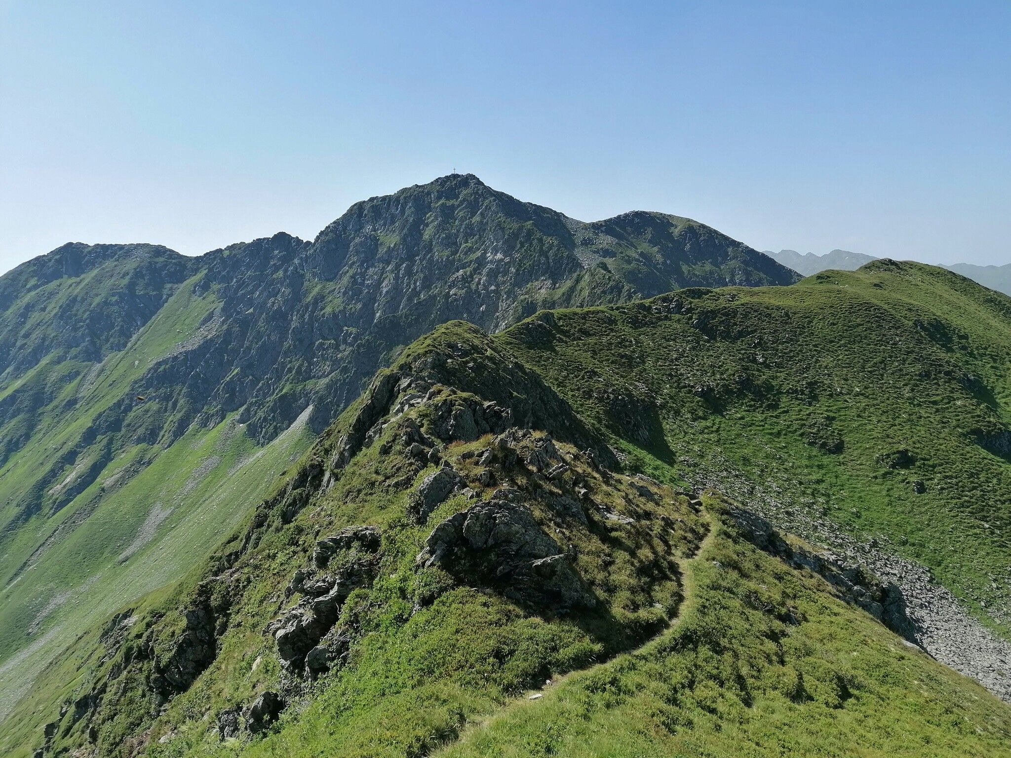
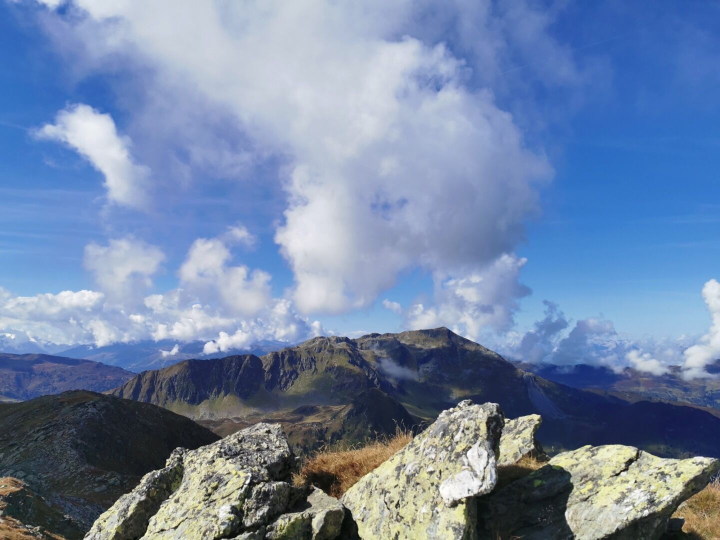
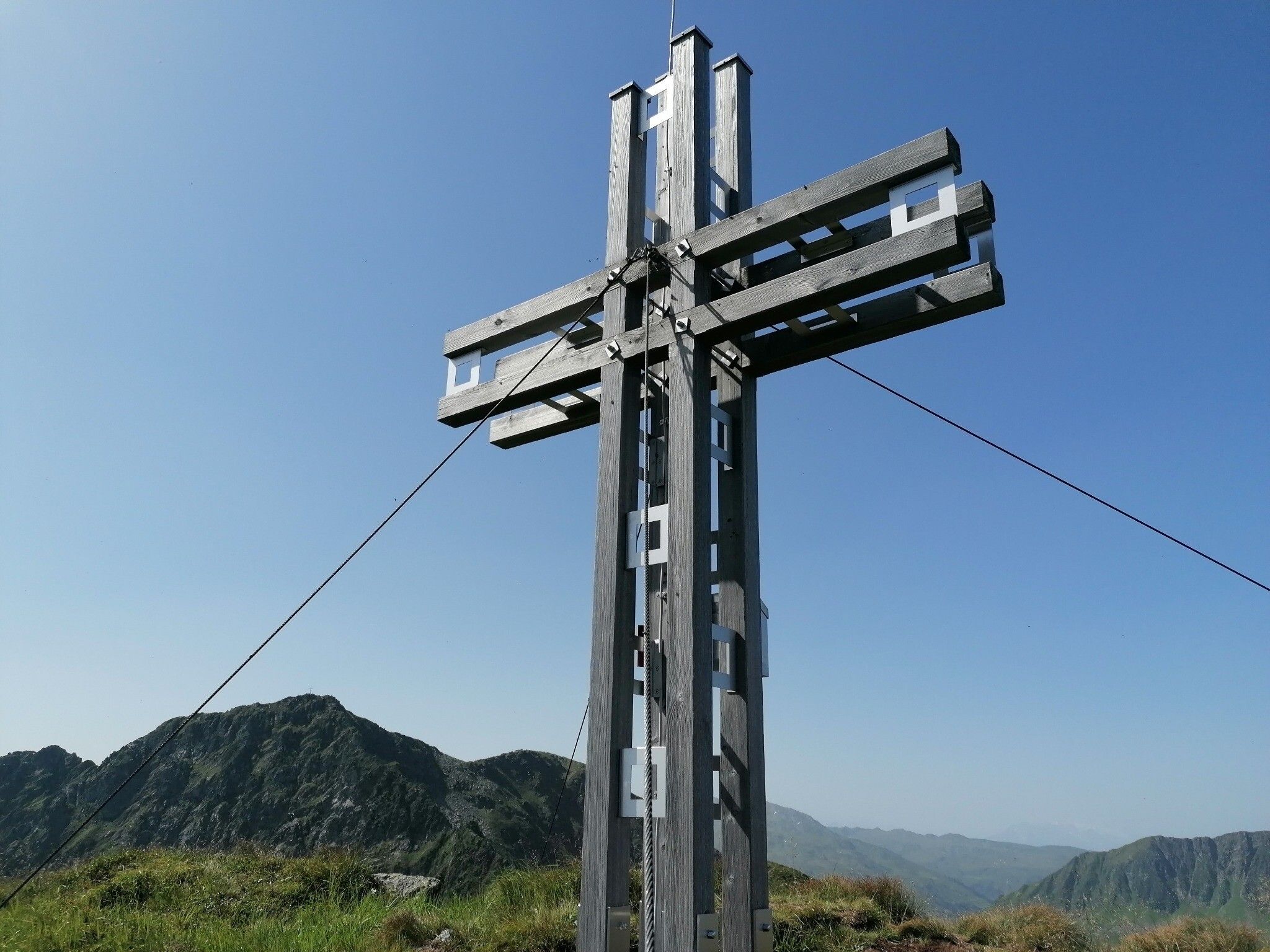
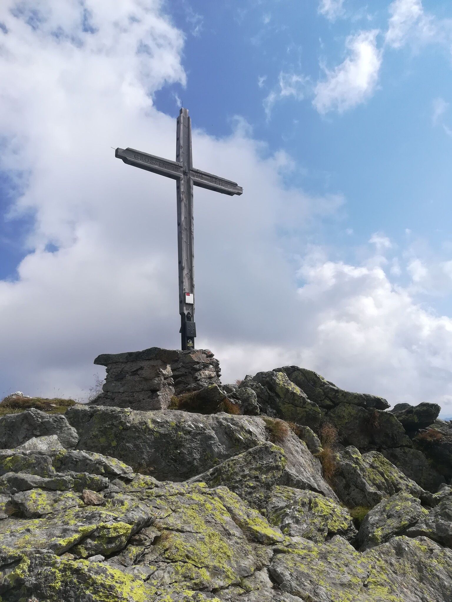
From the Schatzberg, the route continues to the peaks of this tour. It leads over the Lämpersberg, the Kleiner Beil, and the Großer Beil. The Großer Beil, the highest mountain in the Wildschönau,
forms a prominent point on the loop. The route then continues over the Gressenstein and the Sonnjoch.
After the Sonnjoch, the downhill section begins back to the Schönanger Alm.
Hiking bus from mid-May to mid-October (more information to follow)
Schönangeralm


.JPG")


.png")


 Andi Frank_TVB PillerseeTal (133).jpg")


")


