Description
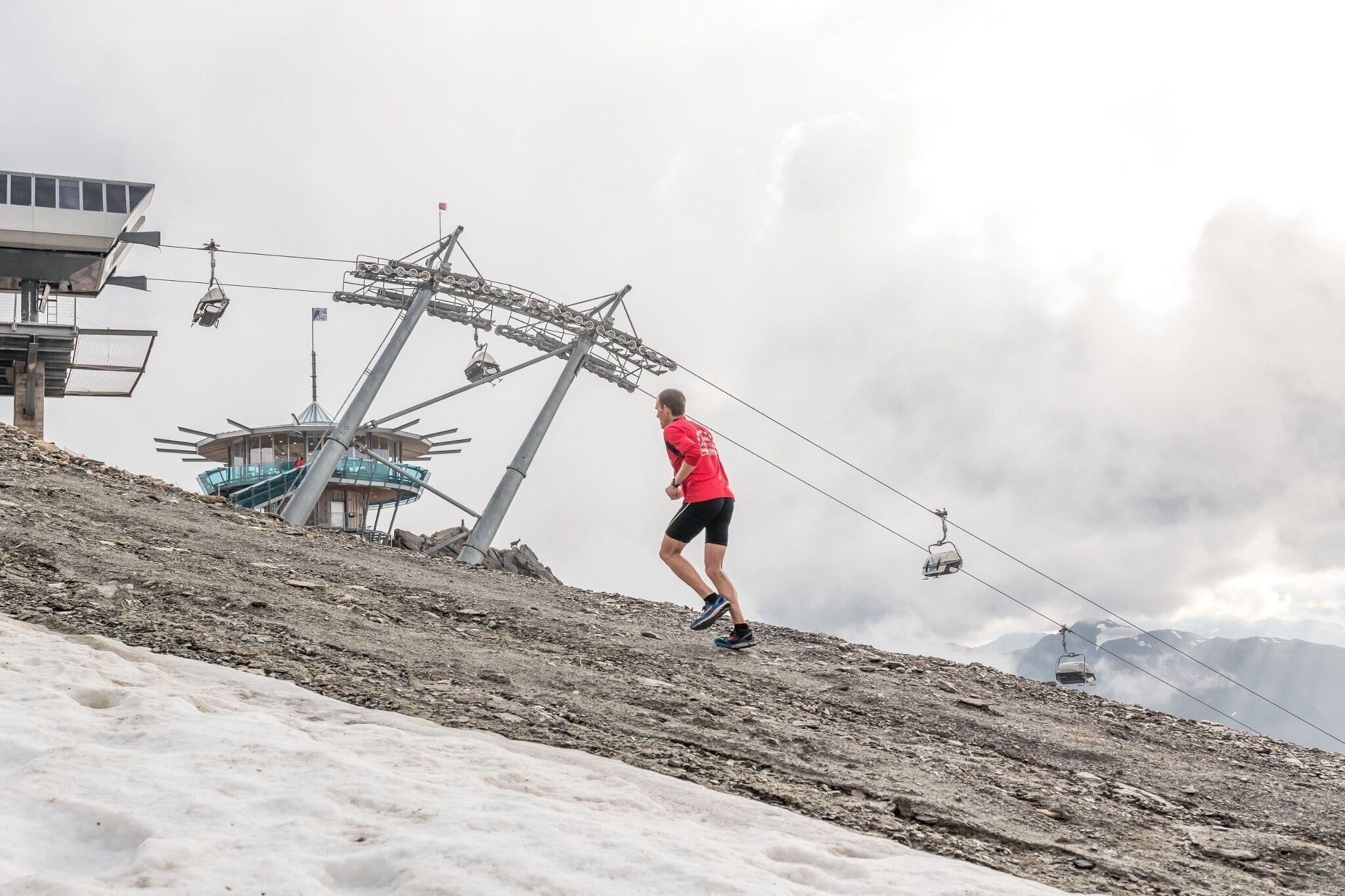
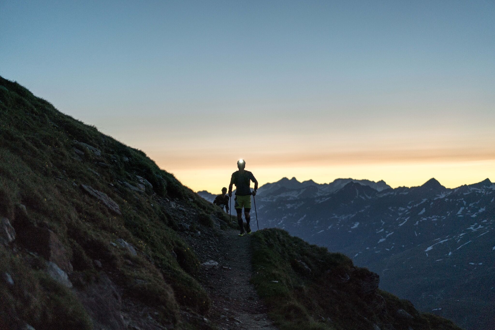
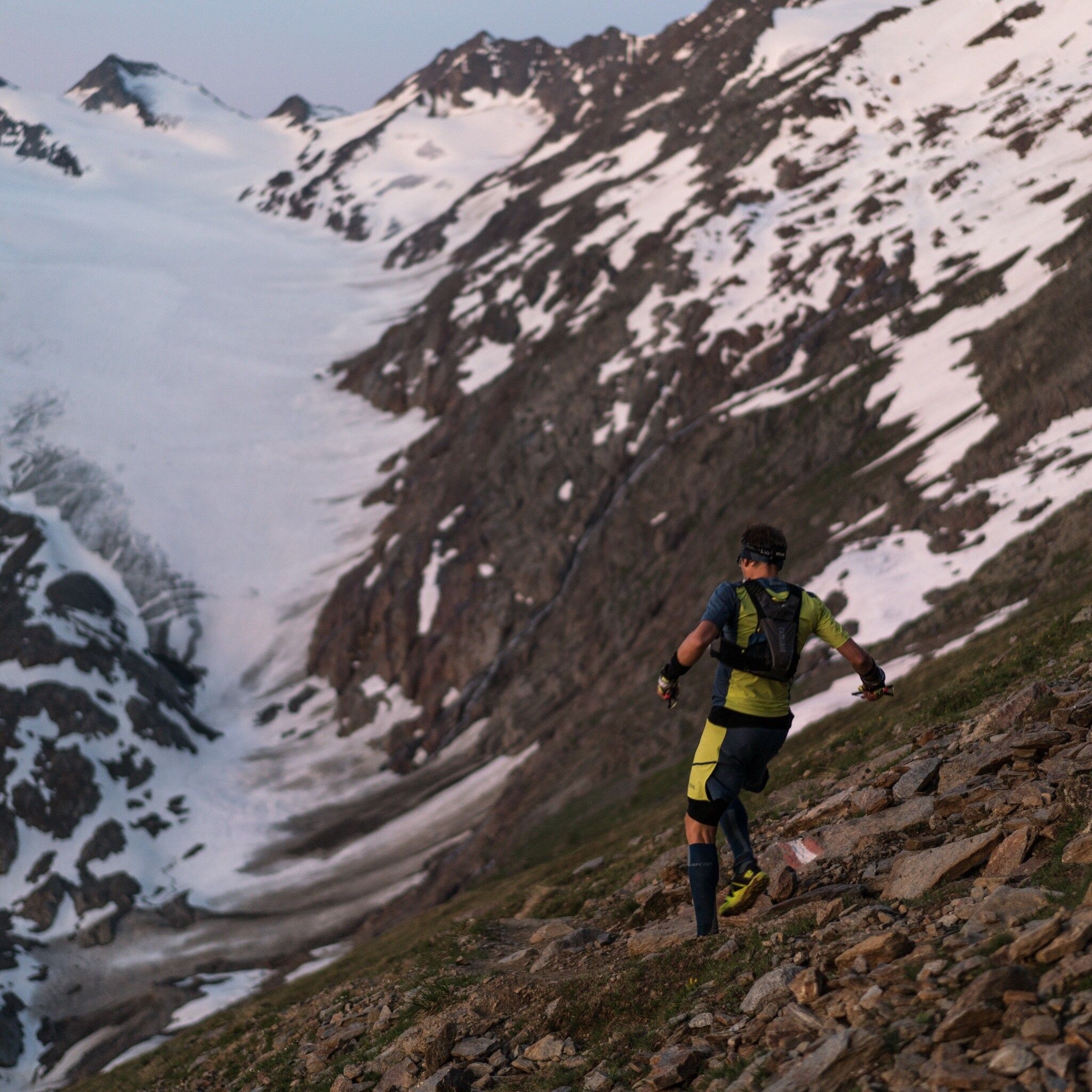
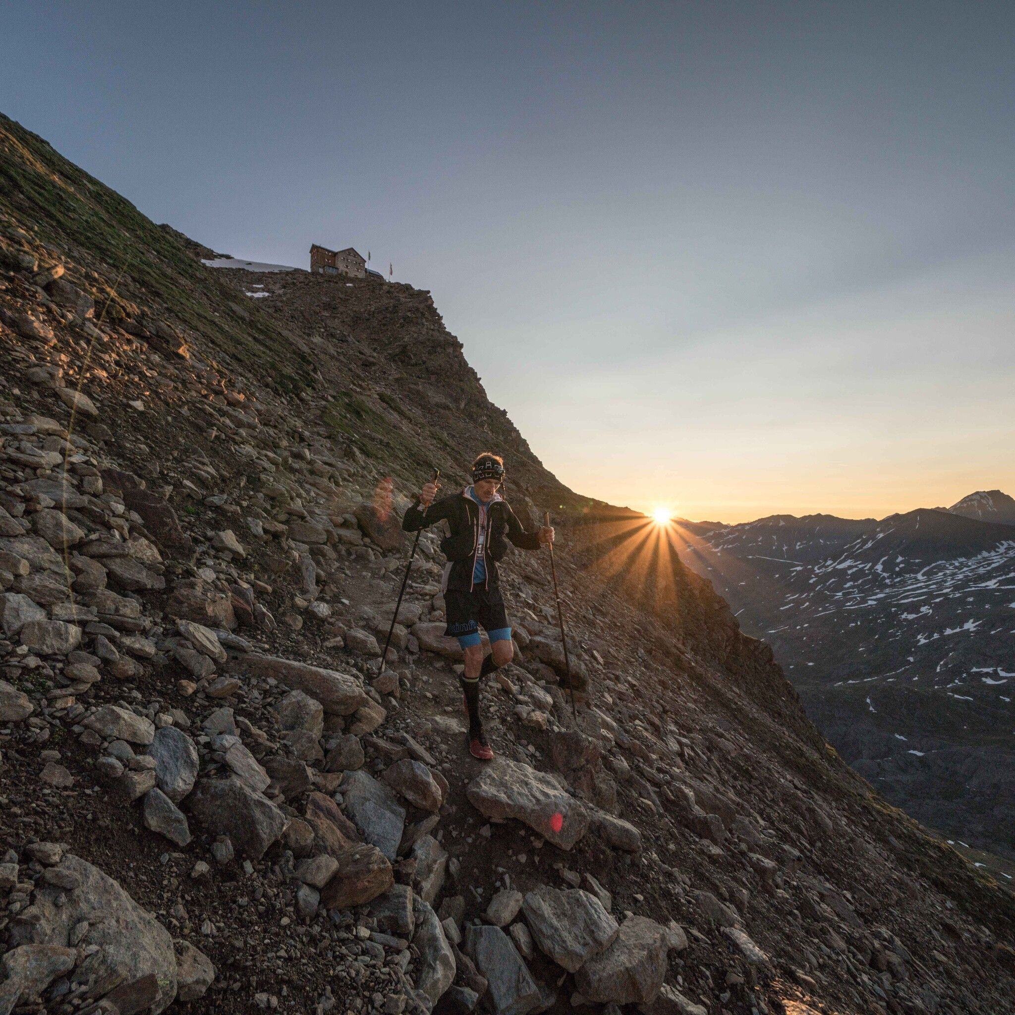
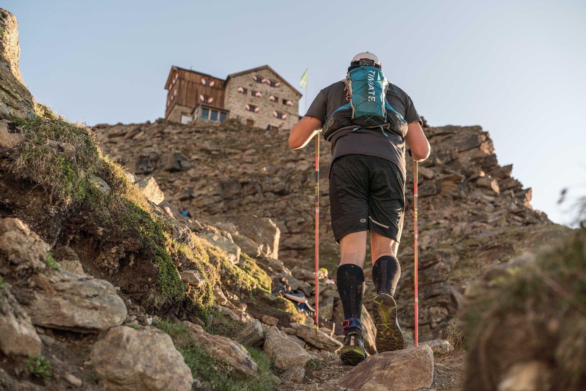
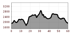
The start takes place at just under 2,000 m above sea level in Obergurgl. After two kilometers to warm up, it gets serious – a climb of 700 hm awaits the participants. Upon arrival at Soomsee, trail runners are rewarded with a fantastic panoramic view amidst the Ötztal and Stubai Alps. At about 2,500 m altitude, the route runs over a beautiful trail back down the valley to the first refreshment station (Küppelhütte), before climbing steeply to the highest point of the race, the Ramolhaus at over 3,000 m. After the intermediate time is taken there, participants run a technically very demanding downhill to the Piccard Bridge, where a breathtaking panorama of the Ötztal glacier world opens up. Continuing over the Schwärzenkamm to the Langtalereckhütte, the runners take on the next kilometers of the race on the forest road to the Schönwieshütte. After the next refreshment station, the route leads into the beautiful Rotmoostal, up to the Hohe Mut Alm. At 2,636 m, runners enjoy the panorama before a downhill through the Gaisbergtal leads towards Festkogl. Here it is important to gather all energy again before continuing over the Verwall and Königstal to Hochgurgl. There await varied trails, a steep climb, and architectural highlights like the Top Mountain Star and the Top Mountain Crosspoint. From there it goes back again into the Königstal towards Obergurgl. The final 5 km lead through a stone pine forest and past the Zirben Alm. There, participants enjoy the cheers of the spectators until the finish line.


.JPG")


 Andi Frank_TVB PillerseeTal (133).jpg")
")

.png")

