
Opening hours:Open today
Place:Pettneu am Arlberg
:Alpine pasture / hut / mountain restaurant
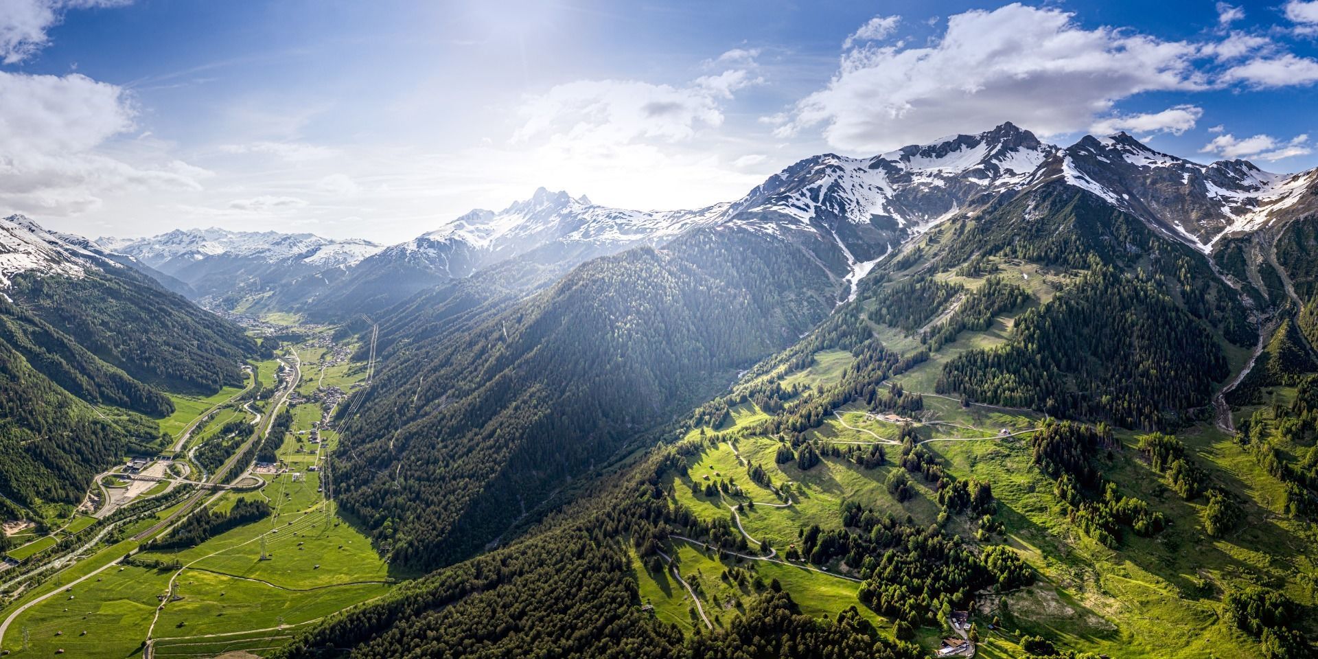
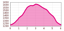
The Stöcklweg trail running route in Pettneu am Arlberg is an easy yet technically demanding 6 km trail with around 400 meters of elevation gain, requiring solid sure-footedness. The ascent climbs steeply through the forest to a spring that supplies Pettneu with drinking water, before reaching the high point near the wildlife feeding area. A narrow root path continues to the Nessler Thaja, a site of intangible cultural heritage, before the return leads via the Nessleralm and forest road, with a shortcut along the Franz Kurz Path, back down to the village.


.JPG")


.png")

 Andi Frank_TVB PillerseeTal (133).jpg")


")


