Parking
Tscheylücke, free of charge
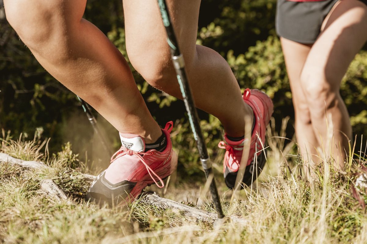
A stunning but quite challenging hike over the Lahnkopf.
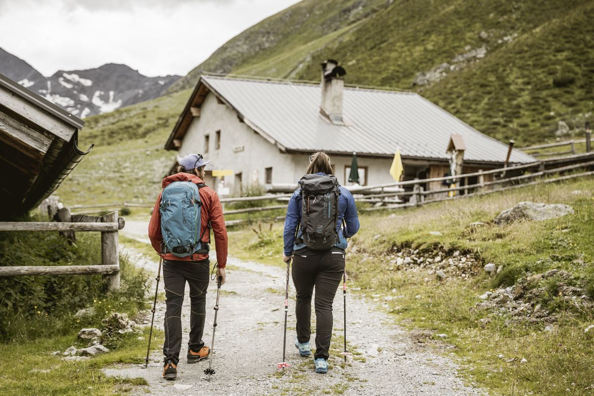
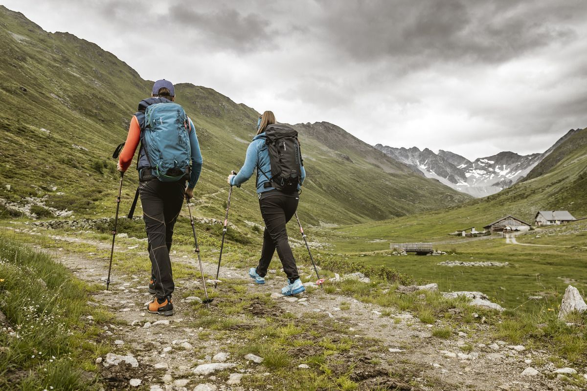
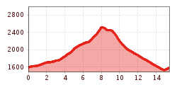
Follow the path through the Tscheywiesen in Pfunds meadows on a gentle gradient to Grupbach, then turn right towards Platzeralm. Follow the forest path in a steady ascent, after a few metres of altitude difference we reach a small camp & turning point "Stodl". There turn left onto a path, abbreviation Platzwiesen / Platzeralm, then follow this path through beautiful mountain meadows back to the road. Past the old mine ruins, to the beautifully alpine Platzeralm - a tip for a break! At the Platzeralm the path leads up to the right towards Lahnkopf. Follow this path in a pleasant gradient until you reach the Lahnkopf - highest point - don't forget the summit of Selfi. Then take the steep hairpin bends down to the Gschneier Alm- a good place to stop for a bite to eat! At the Gschnairalm follow the marked trail back to the starting point at Tscheylücke.
Tscheylücke, free of charge


.png")

 Andi Frank_TVB PillerseeTal (133).jpg")
")


.JPG")


