Winter hike Connection Scheffau-Söll hiking route

Scheffau am Wilden Kaiser / Kitzbüheler Alpen
Route length: 7.1 km
Duration: 2:40 h

This hike connects the towns of Scheffau and Söll.

Tour information

  • Length: 7.1 km
  • Duration: 2:40 h
  • Elevation uphill:70 hm
  • Elevation downhill:110 hm
Highest point743 m

Starting point

Hiking starting point Tourist Info, Scheffau (737 m)

Finishing point

Hiking starting point Tourist Info, Söll (689 m)
  • Fitness level 3 / 6
  • Technique 3 / 6

Best time of year

  • January
  • February
  • March
  • April
  • May
  • June
  • July
  • August
  • September
  • October
  • November
  • December

Trail condition

Cross-country skiing and hiking route - tracks for classic style and winter hiking

Equipment

Sturdy high mountaineering boots with anti-slip treaded soles (waterproof), weather-appropriate outdoor gear (breathable) incl. a change of clothes, sun protection (sunglasses, sun cream, lip protection, headgear), waterproofs (rain jacket/poncho, pocket umbrella, rucksack protector), cold protection (hat, gloves), sufficient food and hot drinks, hiking poles (height adjustable) if required, first aid kit incl. rescue blanket and bivouac sack, mobile phone with fully charged battery, headlamp, plastic bag for waste, hiking map, route description and information materials (GPX track), ID card, insurance card, cash
Source: TVB Wilder Kaiser

Description

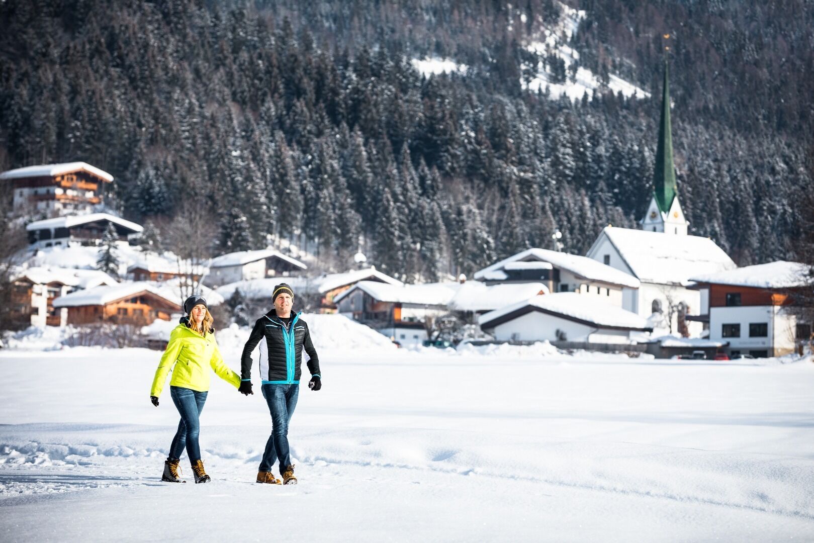
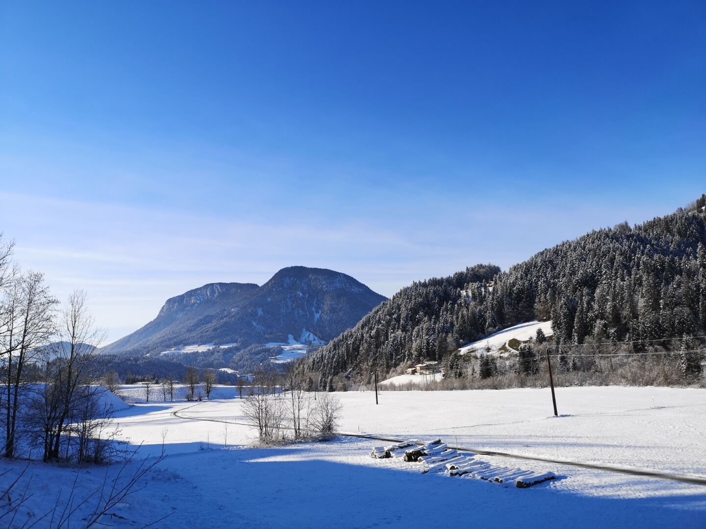
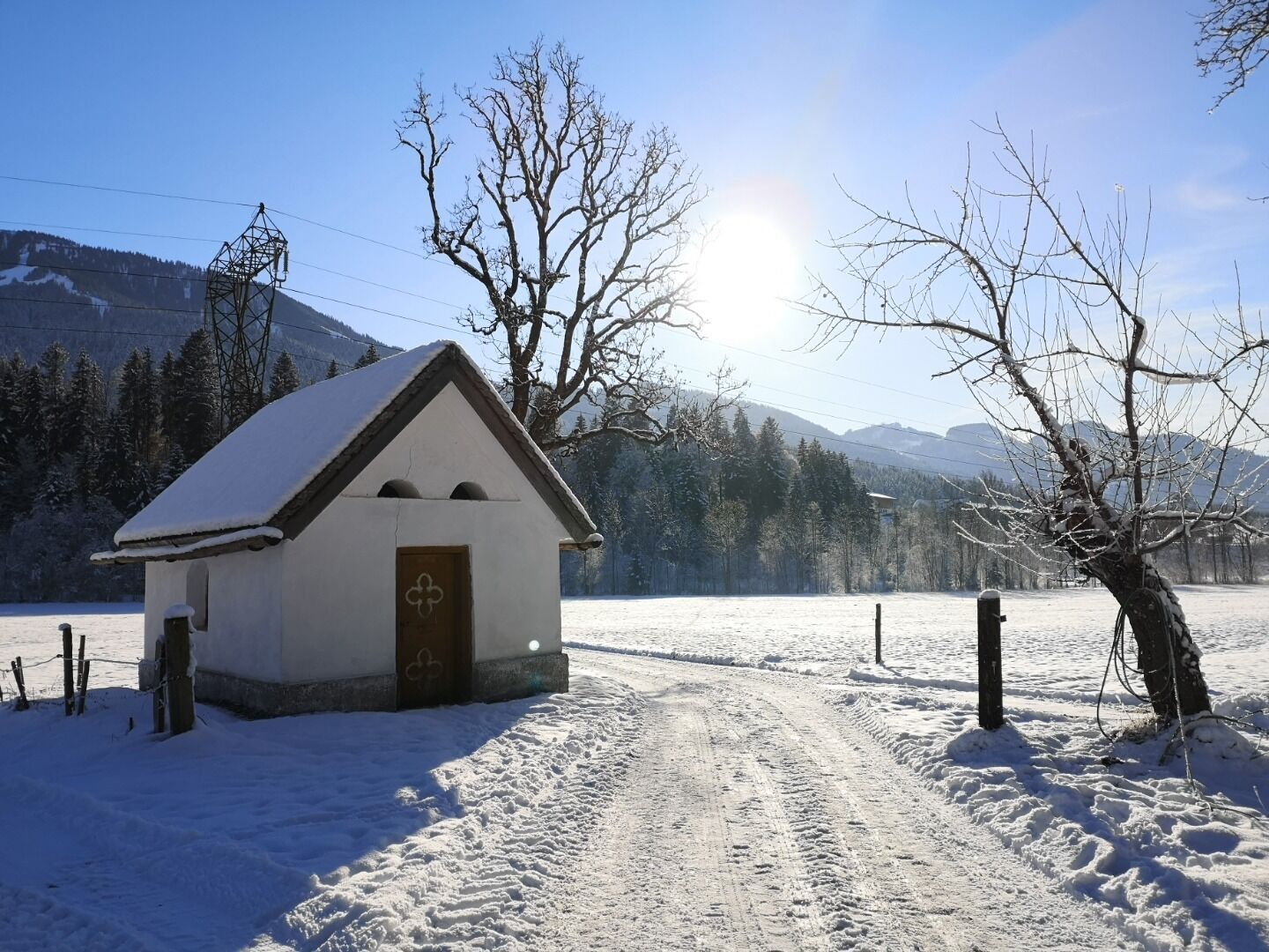
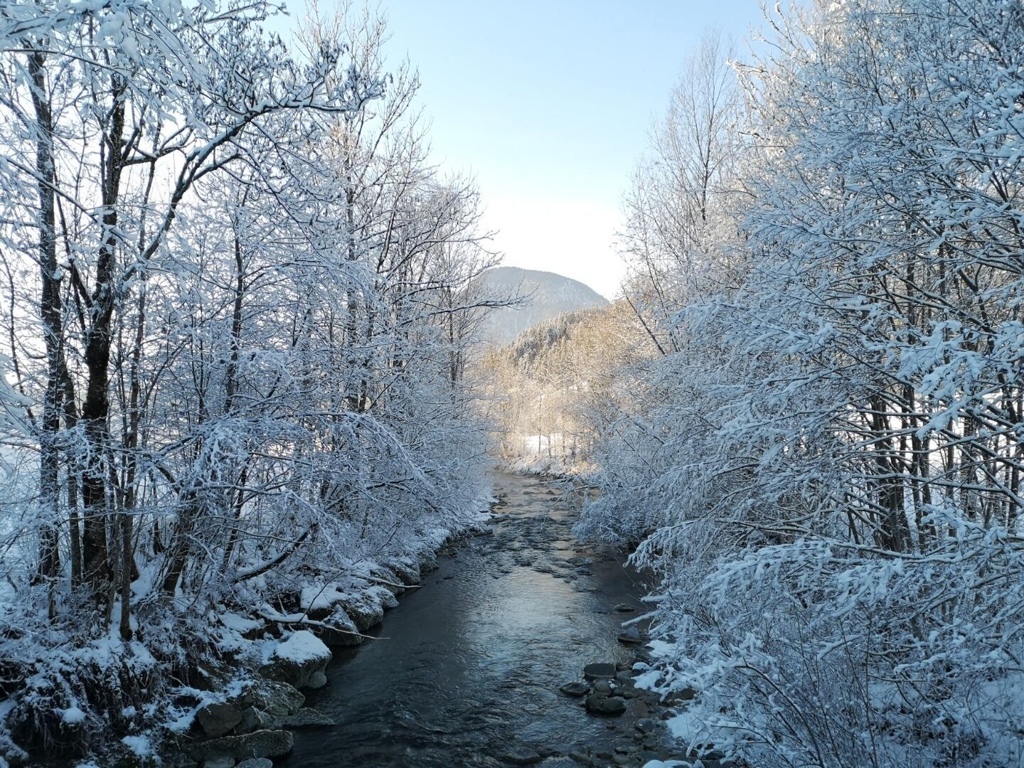
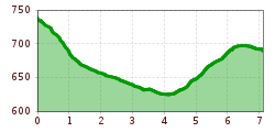
Start in the centre of Scheffau and follow the groomed ski run behind Hotel Kaiserlodge downhill towards the district of Blaiken. From there, follow the signs to Söll and continue along the paved path through the districts of Blaiken and Seebach. After passing a small chapel, the route remains mostly flat until you reach the Stockach district of Söll. From Stockach, the trail climbs gently via Unterhauning and Gänsleit to Lake Ahornsee. Continue along the road to the roundabout, from where you reach the centre of Söll. The return journey is easy by public bus. Of course, the tour can also be done in the opposite direction.

Nearby huts and mountain restaurants

Getting here

  • Parking

    Public car park, Scheffau (740 m), north of the Community Hall - free

More tours in the surrounding area

  • Winter walking Biedringer Platte

    Opening hours:open
    Length:12.7 kmDuration:5:30 hElevation uphill:470 m
Newsletter

The mountain is calling? So does our newsletter!

In our monthly newsletter we reveal the best holiday tips for Tyrol.