Winter hike Gramaiser Runde

Gramais / Lechtaler Alpen
Difficulty ratings: easy
Route length: 3.5 km
Duration: 1:15 h

Circular hike through Gramais.

Tour information

  • Requirement: easy
  • Length: 3.5 km
  • Duration: 1:15 h
  • Elevation uphill:90 hm
  • Elevation downhill:92 hm
Highest point1,354 m

Starting point

Community center Gramais

Finishing point

Community center Gramais

Features

  • Circular route
  • Suitable for families

Best time of year

  • January
  • February
  • March
  • April
  • May
  • June
  • July
  • August
  • September
  • October
  • November
  • December

Equipment

Good equipment is essential for your hike. The following items should definitely be in your rucksack: - Food and drink - Functional clothing for rain, wind and cold - A change of clothes - Sun protection - First aid kit - Mobile phone with a full battery (Euro emergency number 112) - Hiking map or GPS - Hiking poles Nevertheless, the following applies: light luggage is also easier to carry, so you should not weigh down your rucksack with unnecessary ballast. In addition, your hiking equipment should of course also be adapted to your particular hiking tour.
Source: Lechtal-Reutte

Description

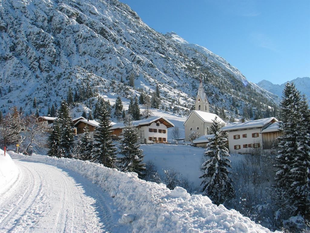
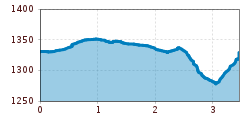
Already at the beginning of our hike we leave Gramais behind us and walk past the lift that leads to Raut and Branntweinboden, heading south. We stay most of the way on meadows, which are used as pasture in the summer months. Slightly ascending we continue walking in southern direction and only after we have crossed the bridge of the Otterbach brook, it goes on flat meadow terrain again comfortably back to Gramais.

Getting here

  • Arrival by public transport

    no Regiobus in winter

  • Parking


    Community center Gramais

Newsletter

The mountain is calling? So does our newsletter!

In our monthly newsletter we reveal the best holiday tips for Tyrol.