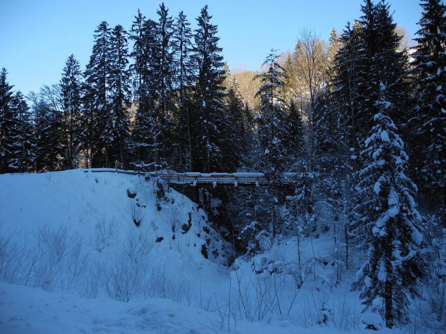
Winter hike Hohe Brücke – Embach – Hohe Brücke

Kössen / Chiemgau Alps
Difficulty ratings: medium
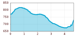
Route length: 4.6 km
Duration: 1:30 h

Trail Nr. 21 a

Tour information

  • Requirement: medium
  • Length: 4.6 km
  • Duration: 1:30 h
  • Elevation uphill:150 hm
  • Elevation downhill:0 hm
Highest point839 m

Starting point

Hohe Brücke

Finishing point

Hohe Brücke

Features

  • Circular route

Trail condition

Asphalt, forest road, meadow path

Source: TVB Kaiserwinkl

Description

Start: Hohe Brücke parking lot on Mühlbergweg in Kössen

After crossing the bridge, follow the steep forest path to the first farms.

Here, turn right and follow Mühlbergweg to the Ruppen farm, then keep left until you reach Embachhof. From Embachhof, follow the road back to the starting point. A circular hike with beautiful views of the Wilder Kaiser and Zahmer Kaiser.

Getting here

  • Parking

    Directly at the parking lot Hohe Brücke.

Weather

Today

clear sky
36°C/14°C
5 km/h
Snow depth
Now: 0 cm,
Next snowfall: No data available
Go to weather forecast Go to snow report

More tours in the surrounding area

Newsletter

The mountain is calling? So does our newsletter!

In our monthly newsletter we reveal the best holiday tips for Tyrol.