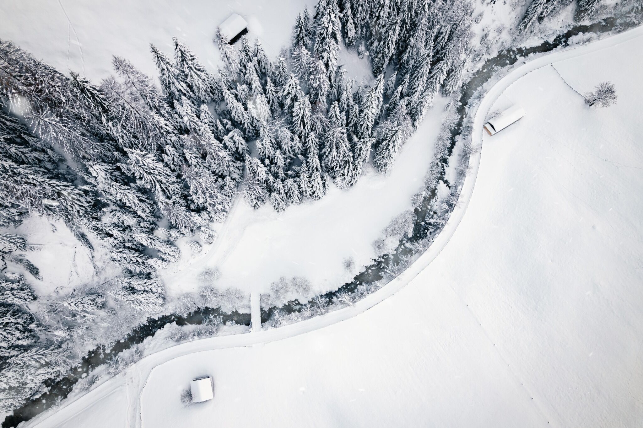
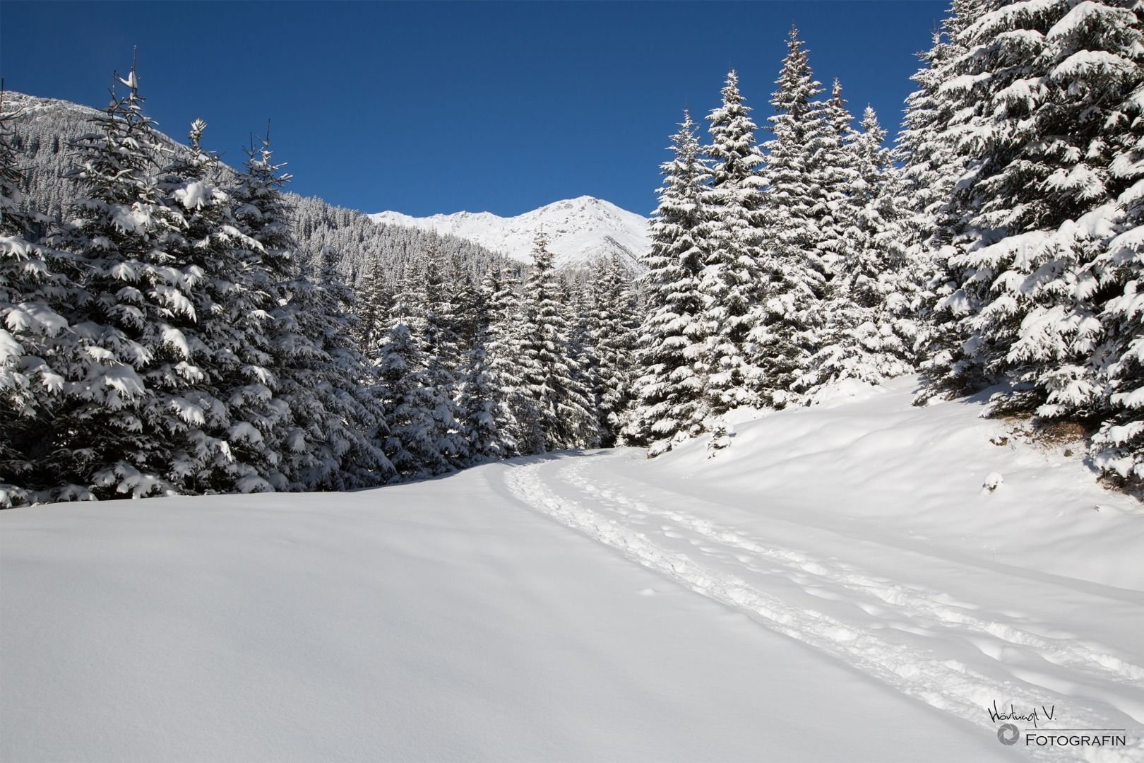
ein wunderbarer Ausflug ins Navistal, durch verschneite Wälder bis zur Au des Klammbaches und in einer Runde wieder zurück zum Parkplatz
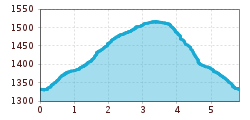
Open interactive mapOpen this POI on the interactive mapElevation profiledownloadkleine Naviser Auenrunde.gpx
24202433.jpg © TVB Wipptal Premium Winter Hiking Trail Waldraster JöchlDifficulty:mediumLength:8.3 kmDuration:3:30 hElevation uphill:200 mGo to winter hikeGo to winter hike: Premium Winter Hiking Trail Waldraster Jöchl
Gschnitz im Winter.jpg © TVB Wipptal Premium Winter Hiking Trail GschnitztalDifficulty:easyLength:6.3 kmDuration:2:00 hElevation uphill:50 mGo to winter hikeGo to winter hike: Premium Winter Hiking Trail Gschnitztal
24197801.jpg © TVB Wipptal Premium Winter Hiking Trail Lower Forest Trail to the Cold HostelDifficulty:easyLength:8.0 kmDuration:2:50 hElevation uphill:300 mGo to winter hikeGo to winter hike: Premium Winter Hiking Trail Lower Forest Trail to the Cold Hostel
Give feedback for a chance to win a special holiday experience!Click here for the surveyClick here for the survey