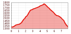
Winter hike Round hike larger Naviser Auenrunde

Navis / Tuxer Alpen
Difficulty ratings: medium
Route length: 7.9 km
Duration: 3:30 h

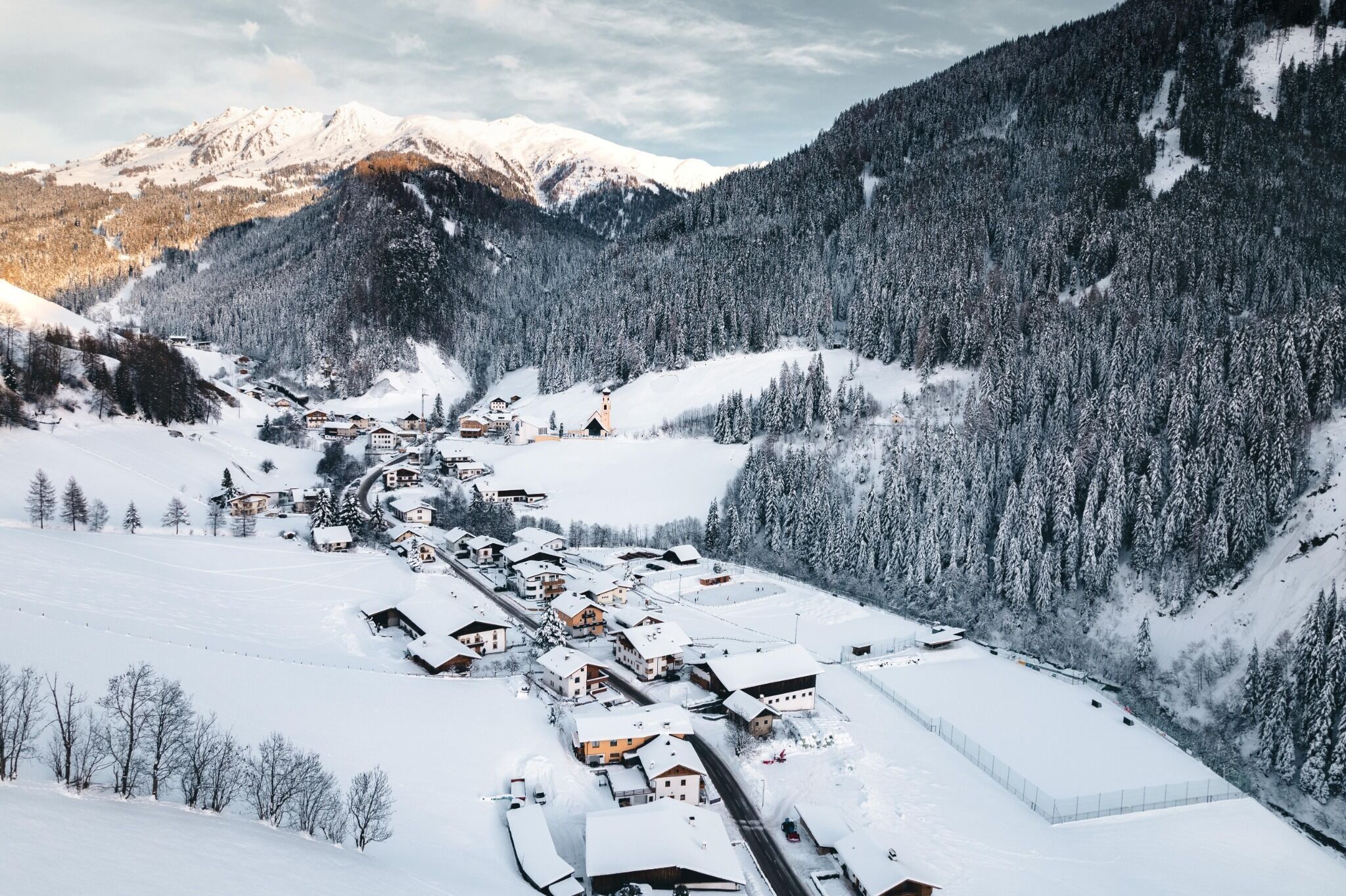
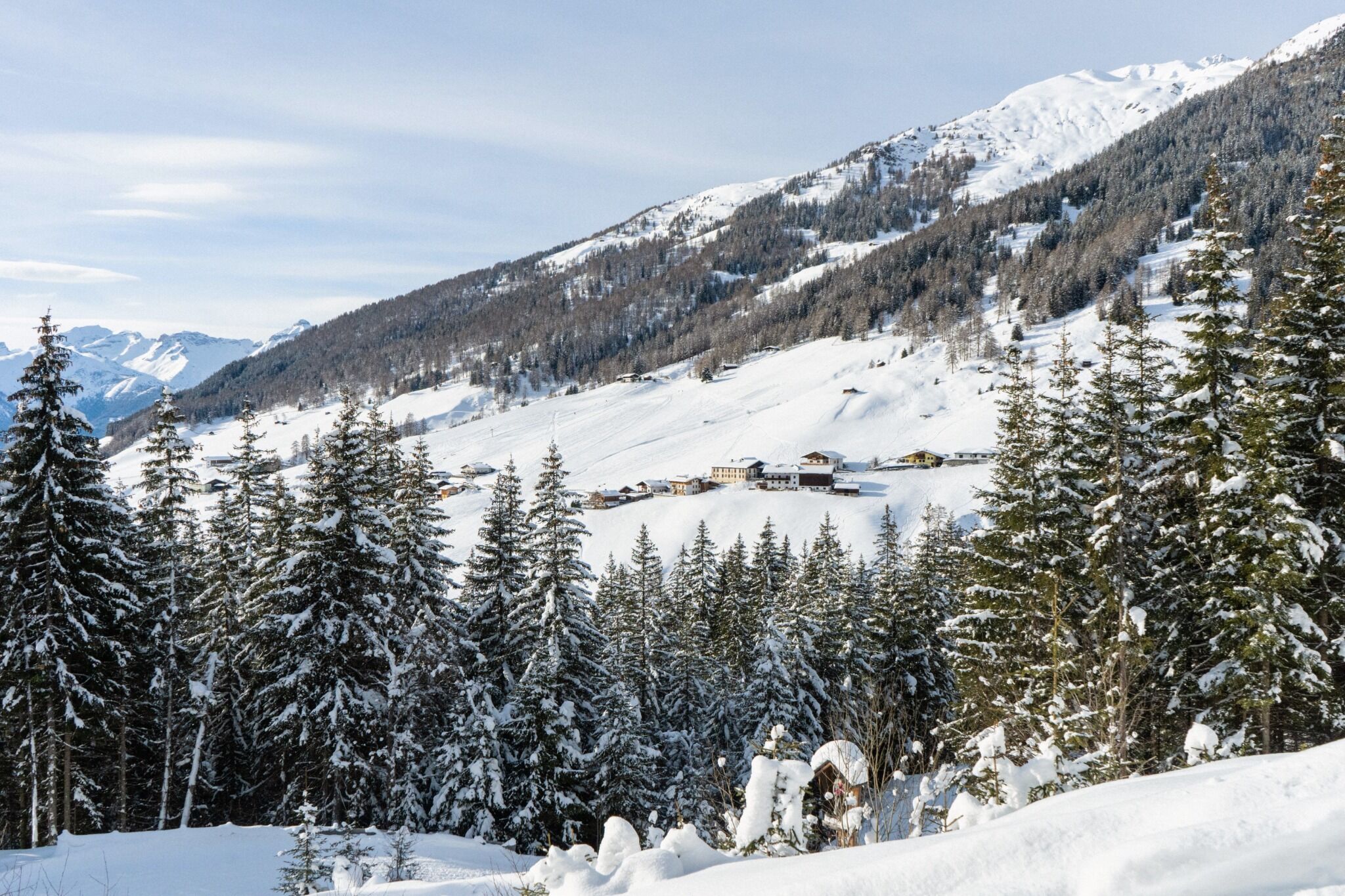
Quite challenging winter hike at the end of the valley of Navis. Unfortunately there is no refreshment stop, so it is best to pack a snack (however, the hike can be extended to the Naviser Hütte).

Tour information

  • Requirement: medium
  • Length: 7.9 km
  • Duration: 3:30 h
  • Elevation uphill:448 hm
  • Elevation downhill:448 hm
Highest point1,779 m

Starting point

Stop Navis-Dorf/parking lot Schranzberg

Finishing point

Stop Navis-Dorf/parking lot Schranzberg

Trail condition

Forest trails

Equipment

Winterwanderschuhe, evtl. Stöcke, evtl. Grödel, Rucksack mit Jause und Getränk, Sonnenschutz, Mütze & Handschuhe
Source: Wipptal
Newsletter

The mountain is calling? So does our newsletter!

In our monthly newsletter we reveal the best holiday tips for Tyrol.